CARTO AI LAB
Working at the frontier of geospatial AI
We research, train, and ship geospatial foundation models and Agentic GIS capabilities that turn spatial data into business outcomes.
Collaborating with world-class organizations





What we do
From research to real-world decisions
The CARTO AI Lab brings geospatial research and product development together to tackle business, environmental, and societal challenges.

Geospatial foundation models
Models trained on vast amounts of spatial data, and their applications.

Analytics on embeddings
New spatial methods that turn embeddings into answers any analyst can use.

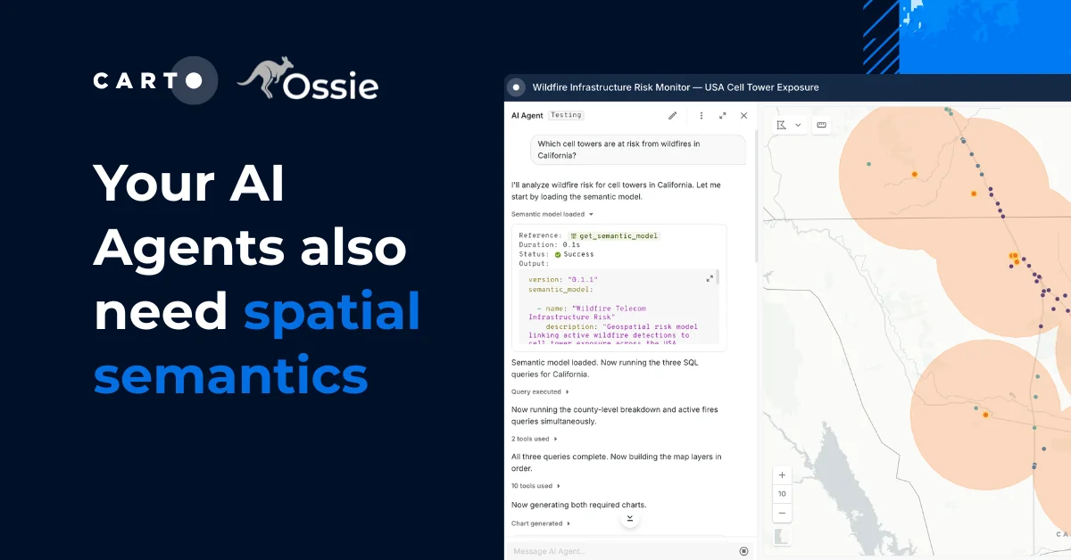
Agentic GIS
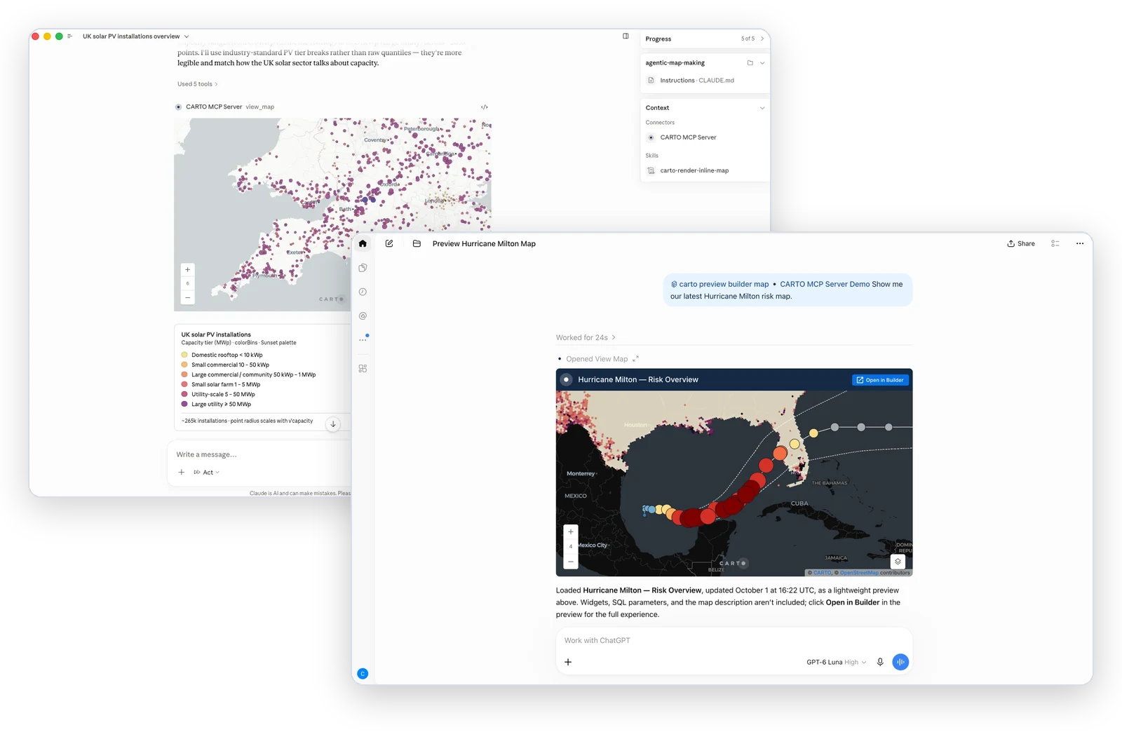
Agent Skills that teach AI Agents advanced spatial data science.

Collaborations
Joint work with organizations, research institutions, and data providers.
What we work on
Geospatial foundation models
Geospatial foundation models are AI models pre-trained on large amounts of spatial data, from satellite imagery to demographics and mobility. They turn every place into an embedding, a compact fingerprint reusable across many tasks.
The AI Lab trains its own models, benchmarks them against the best in the field, and brings them into CARTO so your team can put them to work on real business problems.
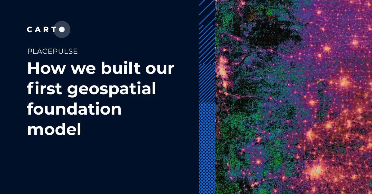
CARTO's geospatial foundation model
PlacePulse Embeddings
PlacePulse encodes thousands of structural variables curated by AGS, from demographics and business activity to commuting patterns, income, and climate risk, into a fingerprint of every place in the US.
- Twin areasFind places like your best sites
- Market expansionMatch top markets in new regions
- Infrastructure gapsSee where supply lags demand
- WhitespaceSpot untapped places that fit
- SegmentationGroup places into distinct types
- ImputationFill gaps in sparse data
Spatial analytics on embeddings
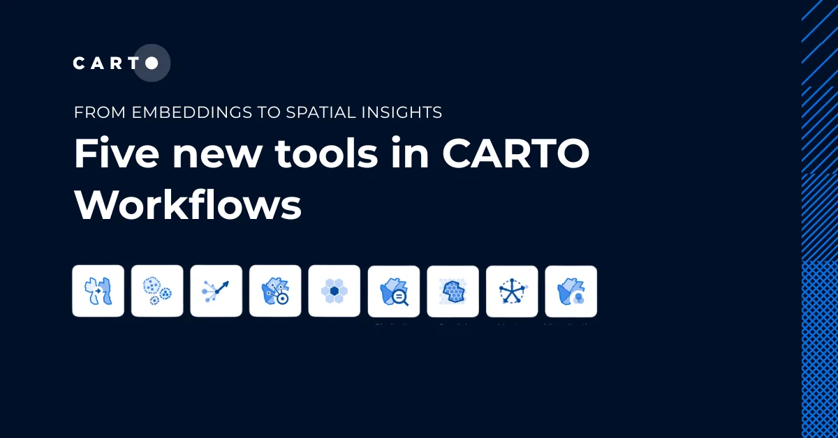
Embeddings only matter if people can use them. Our Analytics on Embeddings extension package brings these methods to CARTO Workflows, no machine learning background required.
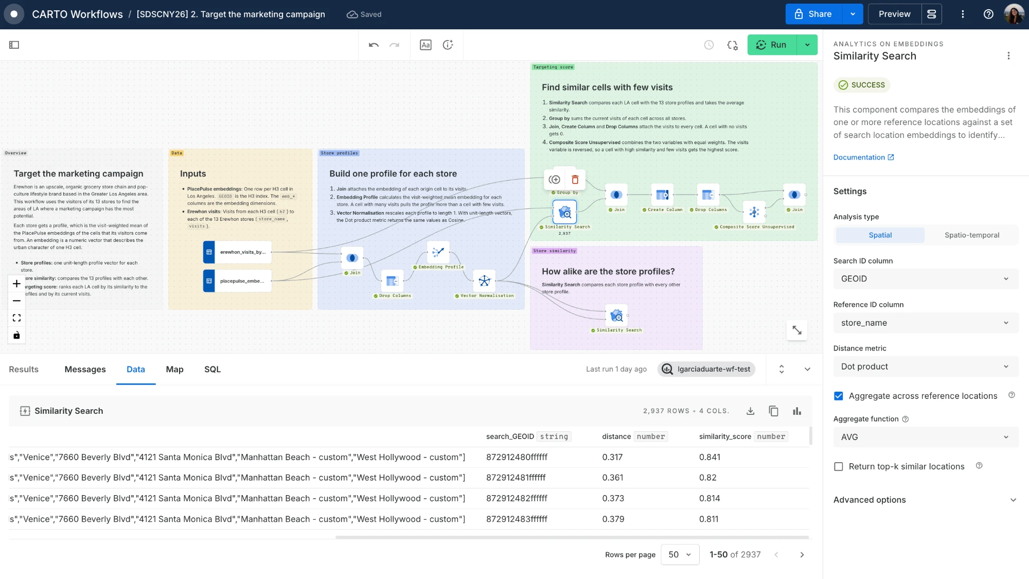
Analytics on Embeddings (9)
 Change Detection
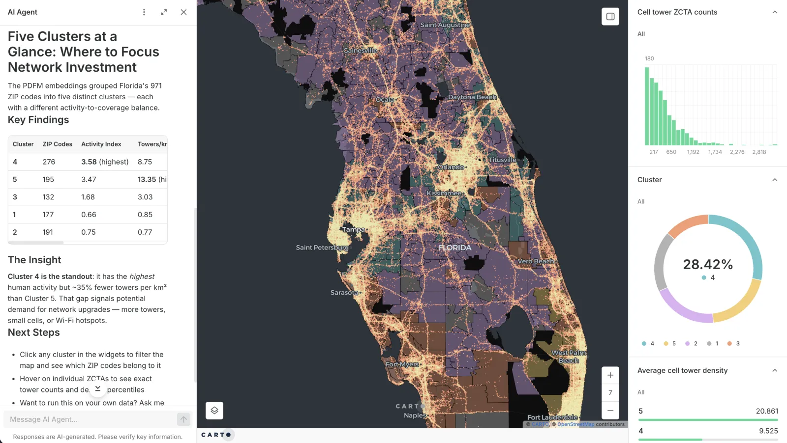
 Clustering
 Embedding Profile
 Mean Deviation
 Neighborhood Deviation
 Similarity Search
 Spatial Aggregation
 Vector Normalization
 Visualization
Let's work together
Bring us your hardest spatial problem
The hardest problems in geospatial AI won't be solved by any one team working alone. The AI Lab is open to working with organizations, researchers, and data providers.

Organizations with a hard spatial question
We apply spatial data science and geospatial AI to your business problem, from scoping the question to a model your team can run in CARTO.
AI labs and research institutions
Evaluate and co-create geospatial foundation models with us, and test new ideas on real use cases.

Data providers
Turn your data into embeddings and new analytics, and benchmark your models against the best in the field.
Frequently asked questions
The CARTO AI Lab is CARTO's research and applied AI team. It works across four areas: training and benchmarking geospatial foundation models, building spatial analytics methods on their embeddings, writing Agent Skills that let AI Agents run advanced spatial data science through CARTO for Agents, and collaborating with research institutions, AI labs, and companies.
Yes. The Lab works with organizations that have hard spatial questions today's tools can't answer, applying spatial data science and geospatial AI to them, from scoping the problem to a model your team can use in CARTO. Use the contact form on this page to tell us what you're working on.
GeoAI, or geospatial AI, is artificial intelligence applied to location data. It covers machine learning on spatial data, computer vision on satellite imagery, geospatial foundation models, and AI Agents that run spatial analysis, so teams can find patterns, predict outcomes, and answer questions about places at scale.
Geospatial foundation models are AI models trained on large amounts of spatial data, such as satellite imagery, demographics, business activity, and mobility. Instead of being built for one task, they learn a general representation of every place, an embedding, that can be reused for site selection, demand estimation, risk modeling, and more. PlacePulse is the AI Lab's first geospatial foundation model, and you can use others in CARTO, as shown on our geospatial foundation models page.
PlacePulse is the AI Lab's first geospatial foundation model, built with Applied Geographic Solutions (AGS). It gives each of the 1,055,537 populated H3 resolution 7 cells in the US a 256-number embedding that summarizes its demographics, businesses, commuting patterns, climate, and hazard exposure.
PlacePulse Embeddings are available in private preview, and you can request early access. You can use them in CARTO Workflows with the Analytics on Embeddings extension package for similarity search, clustering, change detection, and prediction.