AI Agents are only as good as their understanding of your data. CARTO brings semantic models to AI Agents, with spatial context no other layer provides.
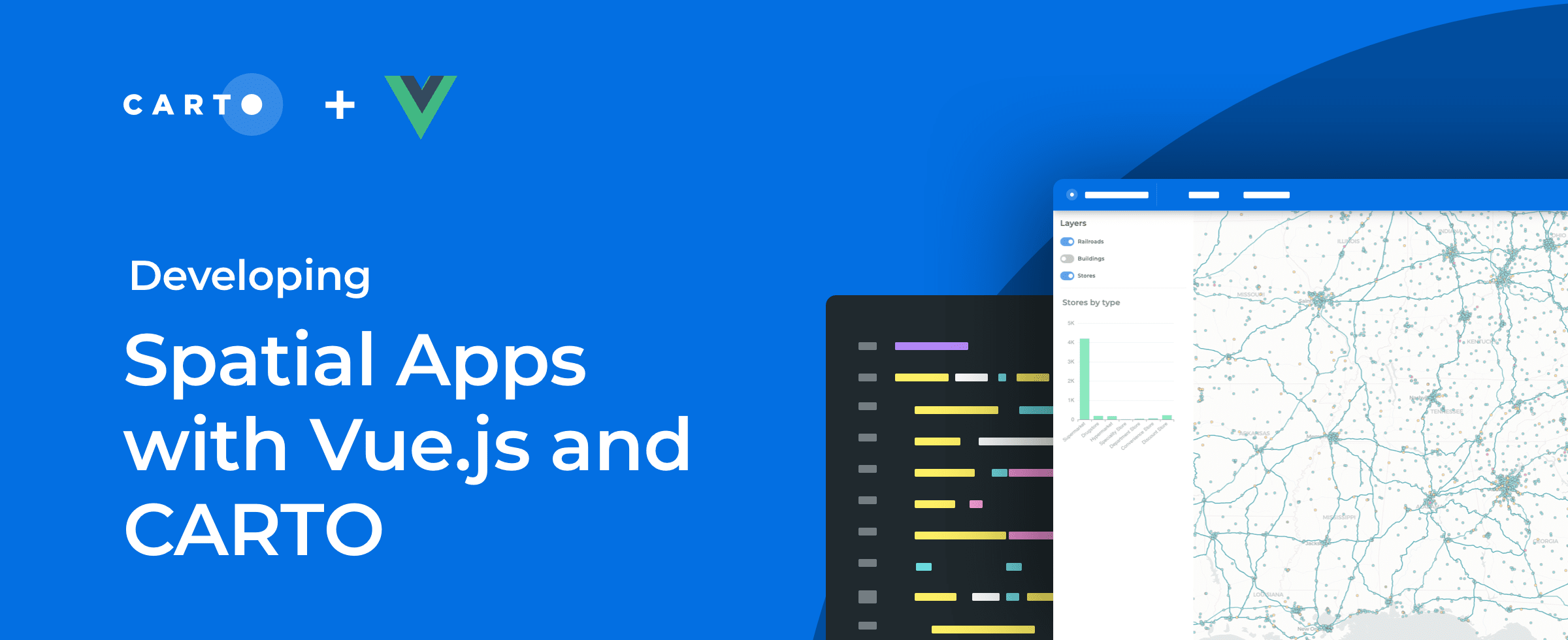
How coding agents can now scaffold full CARTO + deck.gl apps (dashboards, story maps, and AI-first experiences) from a single prompt, with CARTO handling performance and governance.
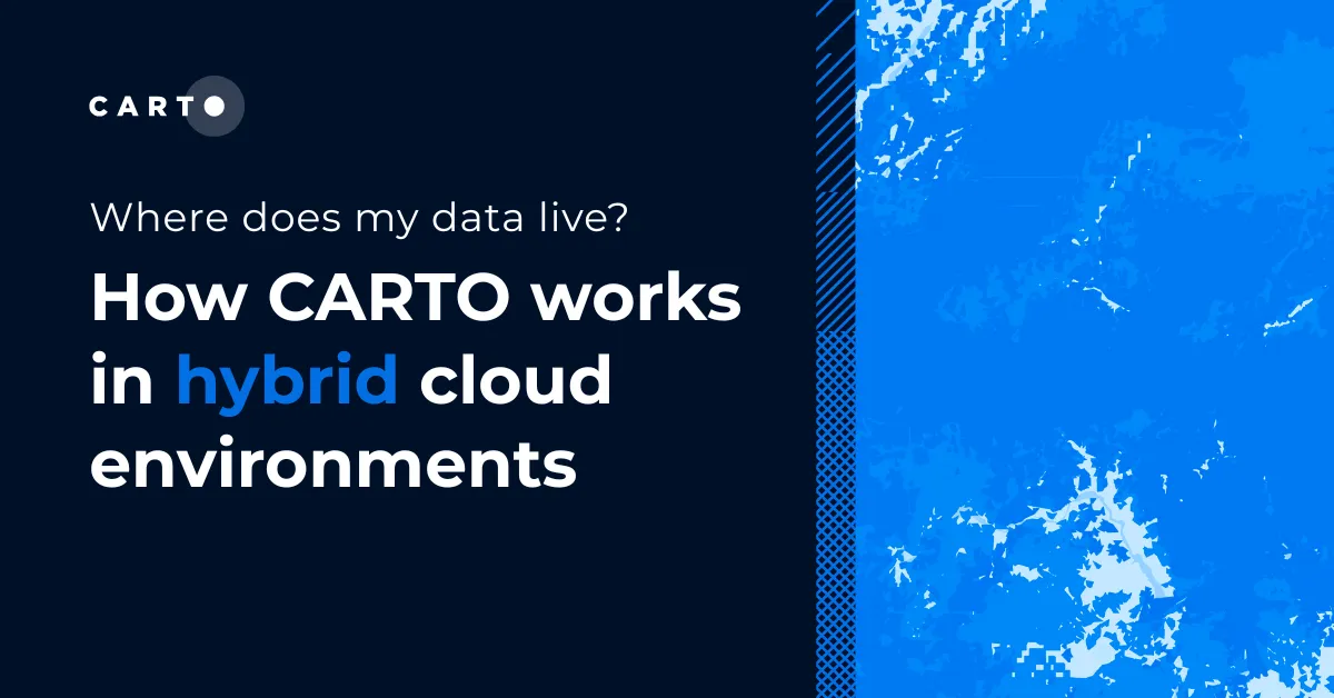
Where does my data live with CARTO? Inside your own cloud data warehouse. See how cloud-native GIS works across hybrid and multi-warehouse environments.
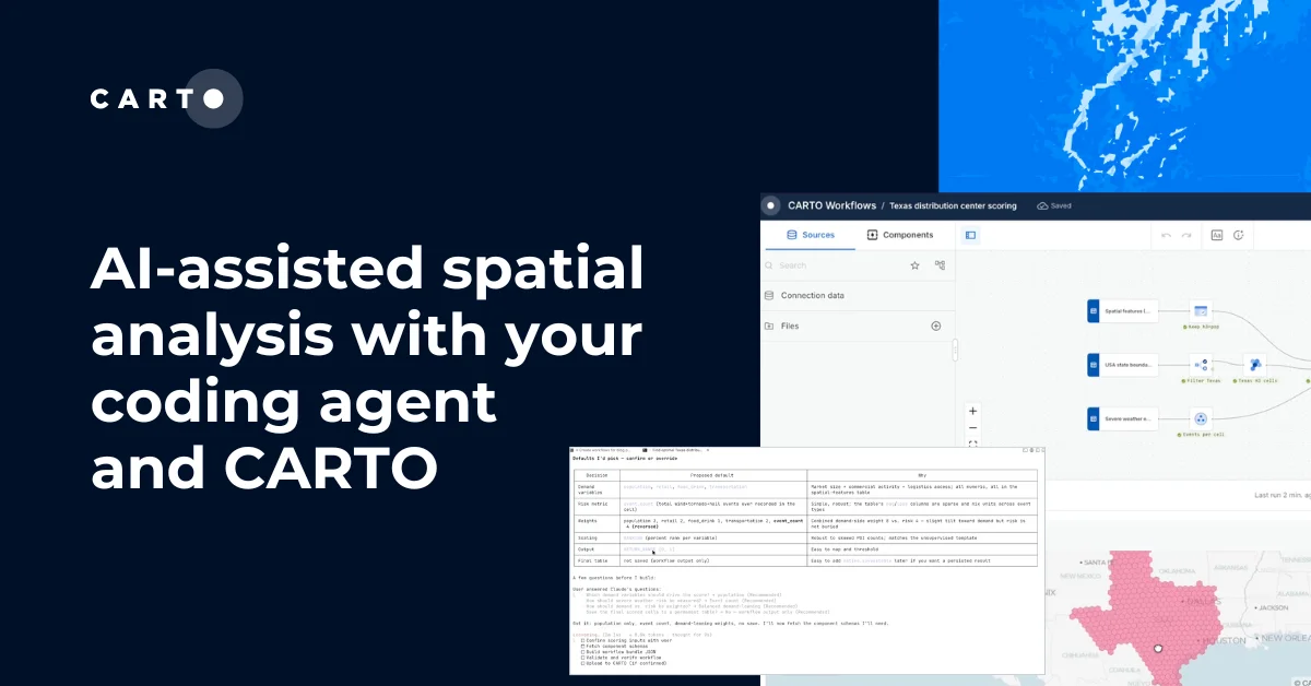
Coding agents can now design full CARTO Workflows from a prompt: multi-step, auditable, and ready to share. Here's how CARTO Agent Skills make it work.
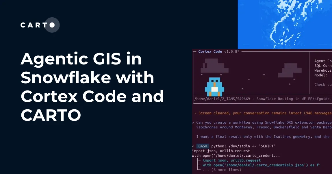
How CARTO for Agents integrates with Snowflake Cortex Code and Snowflake Intelligence to bring full agentic GIS, maps, workflows, and spatial apps inside your Snowflake environment.
One year after Iceberg V3 was approved, we tested which engines can actually read, query, and prune native geometry. Snowflake and Databricks now deliver it end-to-end, DuckDB is close, and a CRS-consistency gap is emerging across engines.
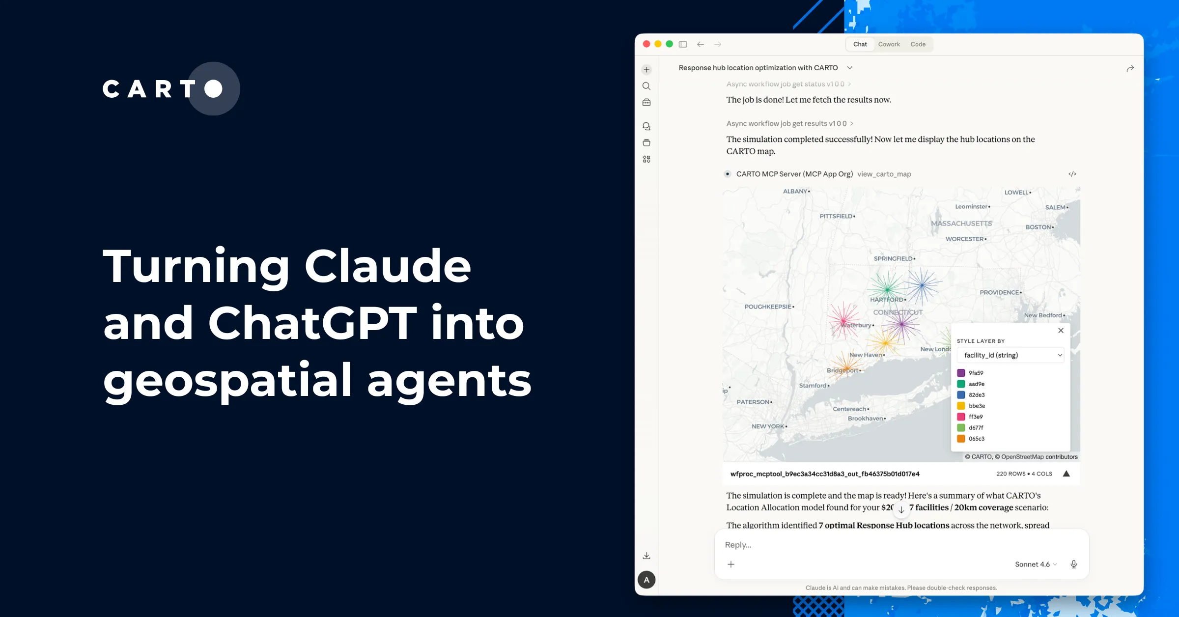
Discover how CARTO brings geospatial analysis to Claude, ChatGPT, and any MCP-compatible AI — from workflow tools to interactive maps to a purpose-built CLI.
A practical guide to building internal buy-in for geospatial, with tips on making the case to non-technical colleagues and leaders, speaking the right language.
Unlock true geospatial sovereignty. This guide explains why a modern tech stack is not enough and how to build a legal and governance framework for your data.
Discover how the GERSification of Overture Maps Foundation data can help you connect open and premium data to speed up analysis and smarter spatial decisions.
Let’s dive into how organizations use CARTO to protect biodiversity, advance climate research, manage natural resources, and drive sustainable decision-making.
Latest innovations in geospatial analytics from CARTO, industry insights, and AI-driven spatial tools showcased at the Spatial Data Science Conference in NYC.
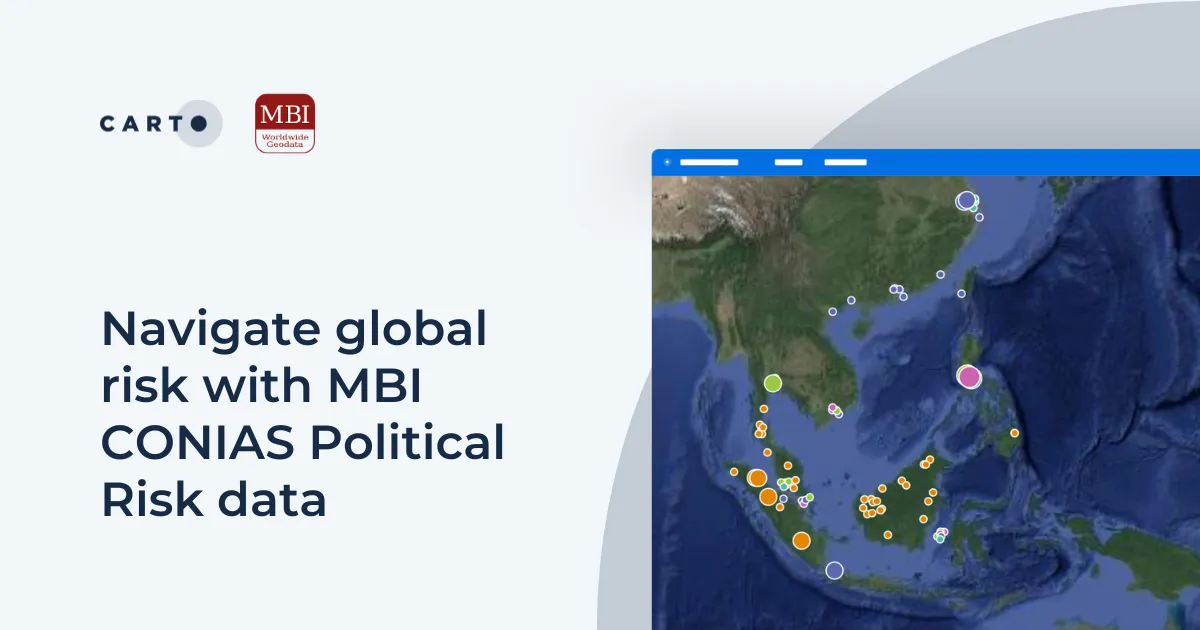
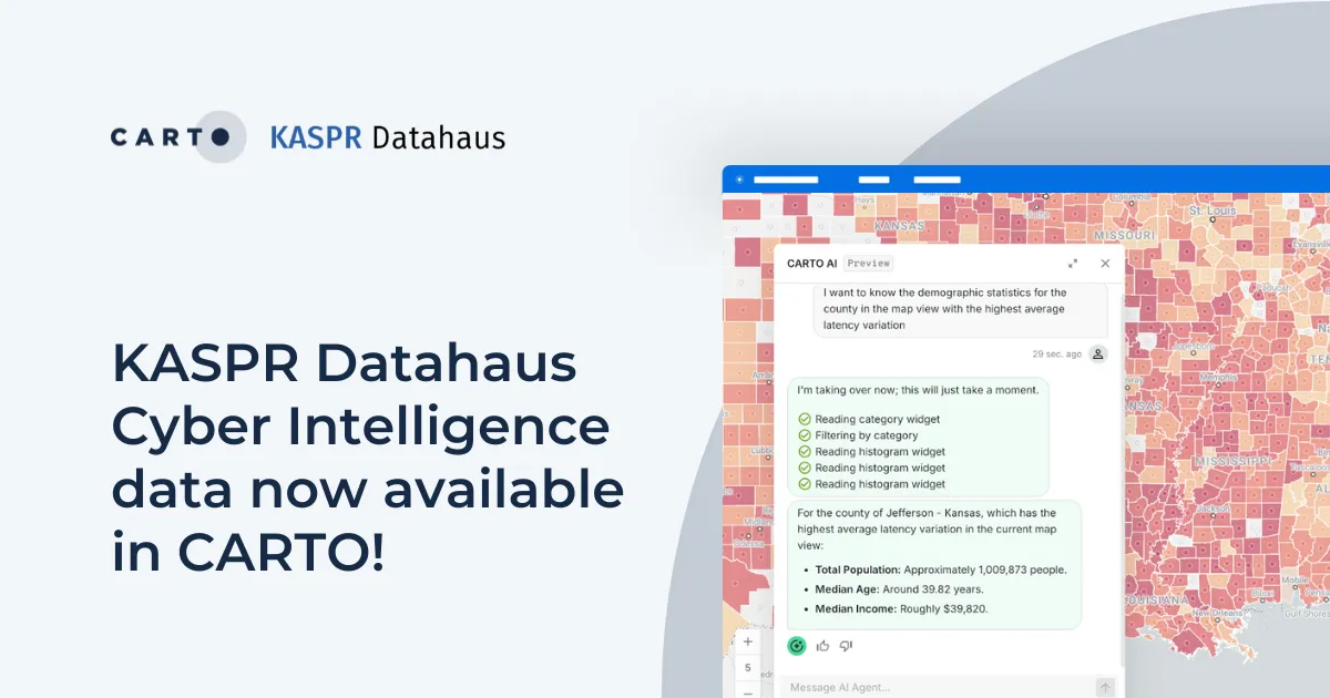
Announcing KASPR's global cyber intelligence data - now in CARTO! Monitor internet performance, optimize networks & drive smarter geospatial decisions.
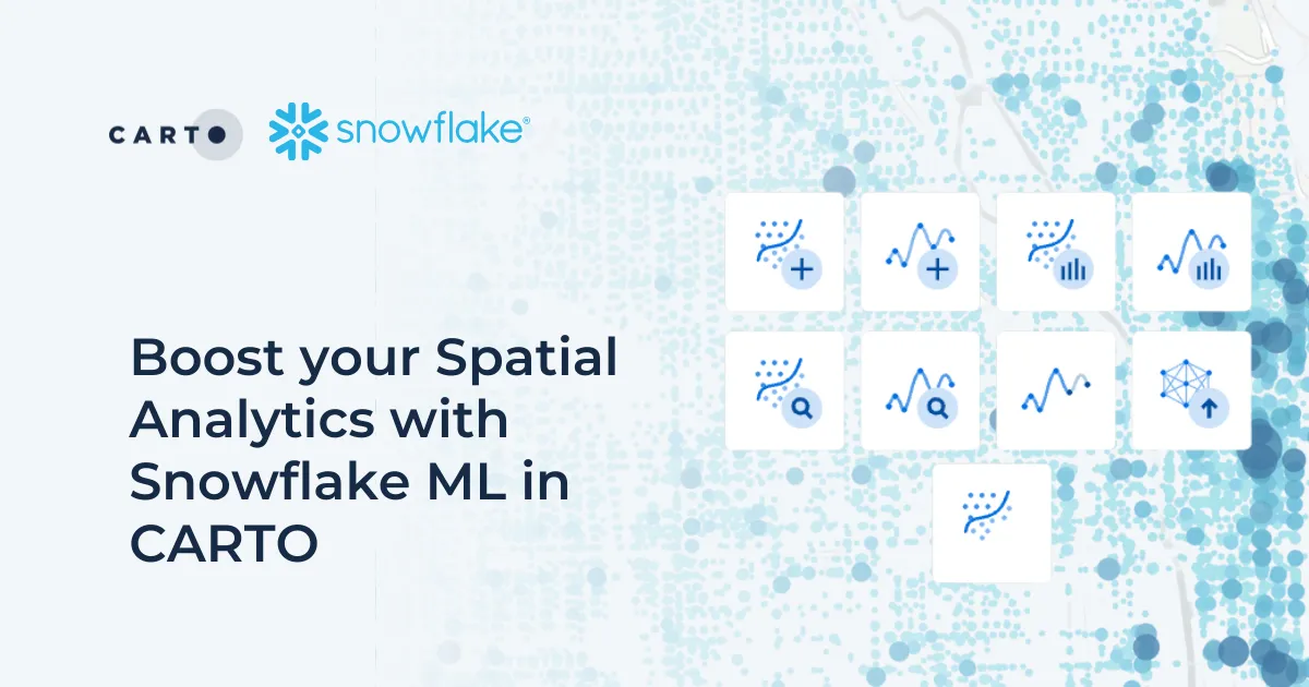
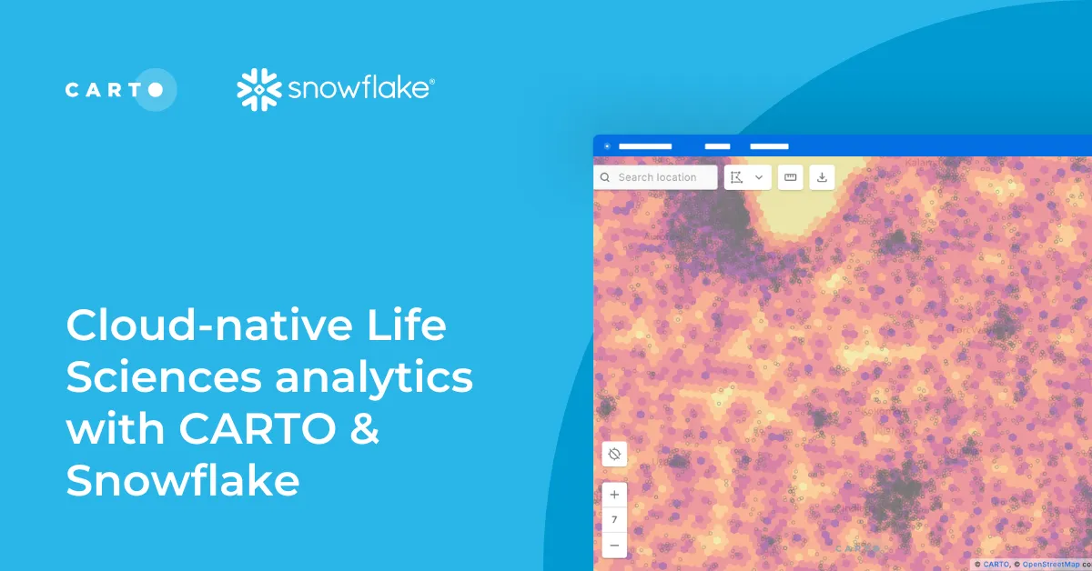
Discover how Snowflake ML in CARTO simplifies machine learning for spatial analytics. Easily build, train, and deploy forecasting models in your workflows.
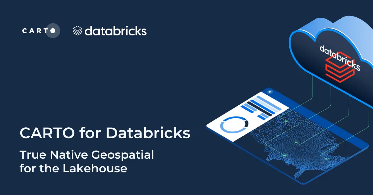
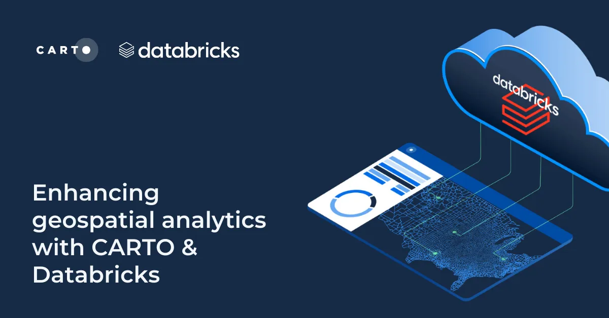
Discover CARTO's integration with Databricks, empowering users with native geospatial analytics for enhanced Location Intelligence and streamlined workflows in the Lakehouse.
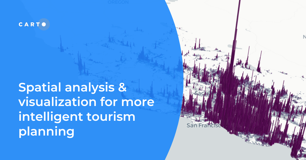
Discover how spatial data analysis and visualization empowers tourism organizations to personalize experiences, optimize resources & make strategic decisions.
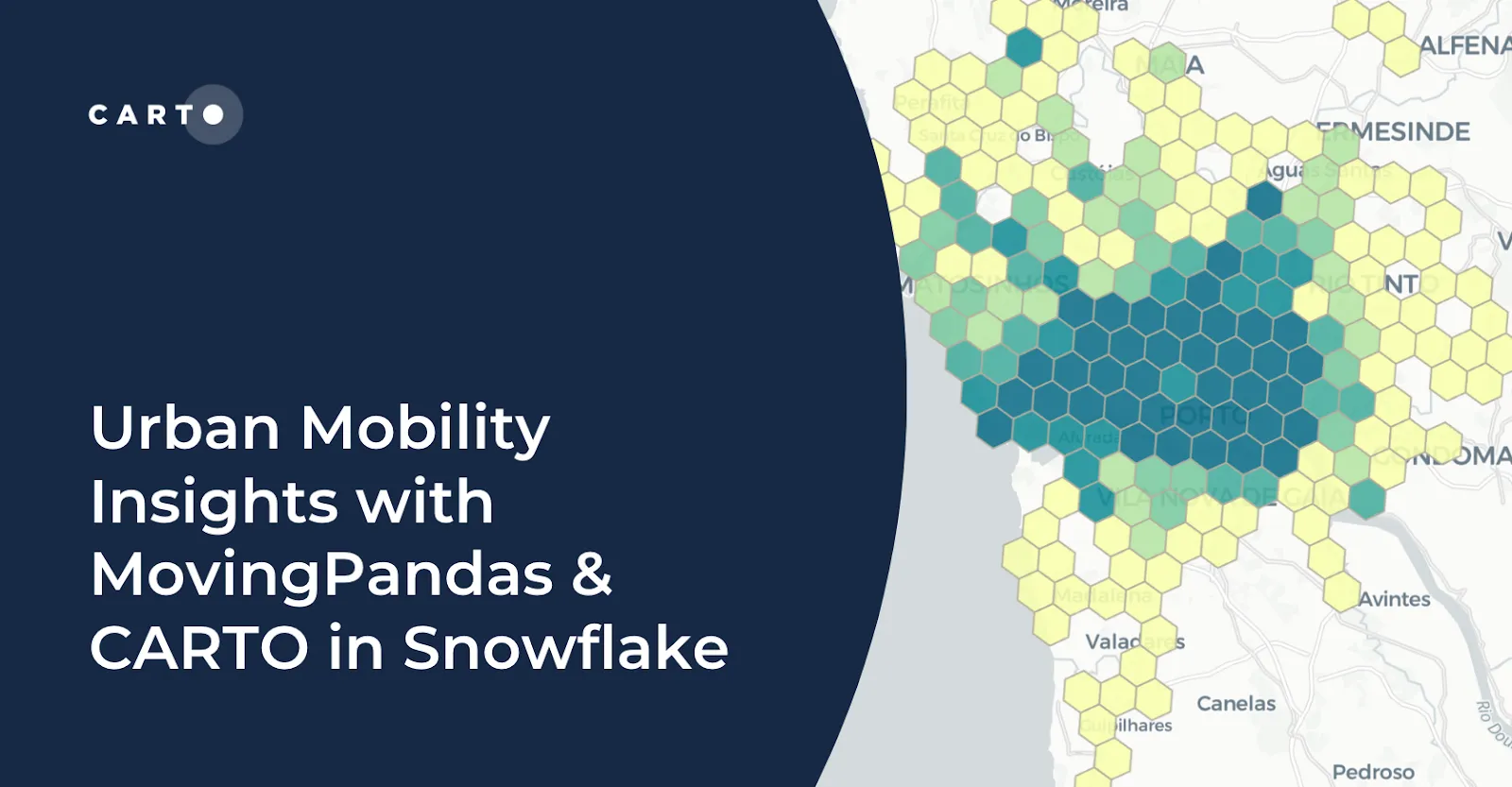
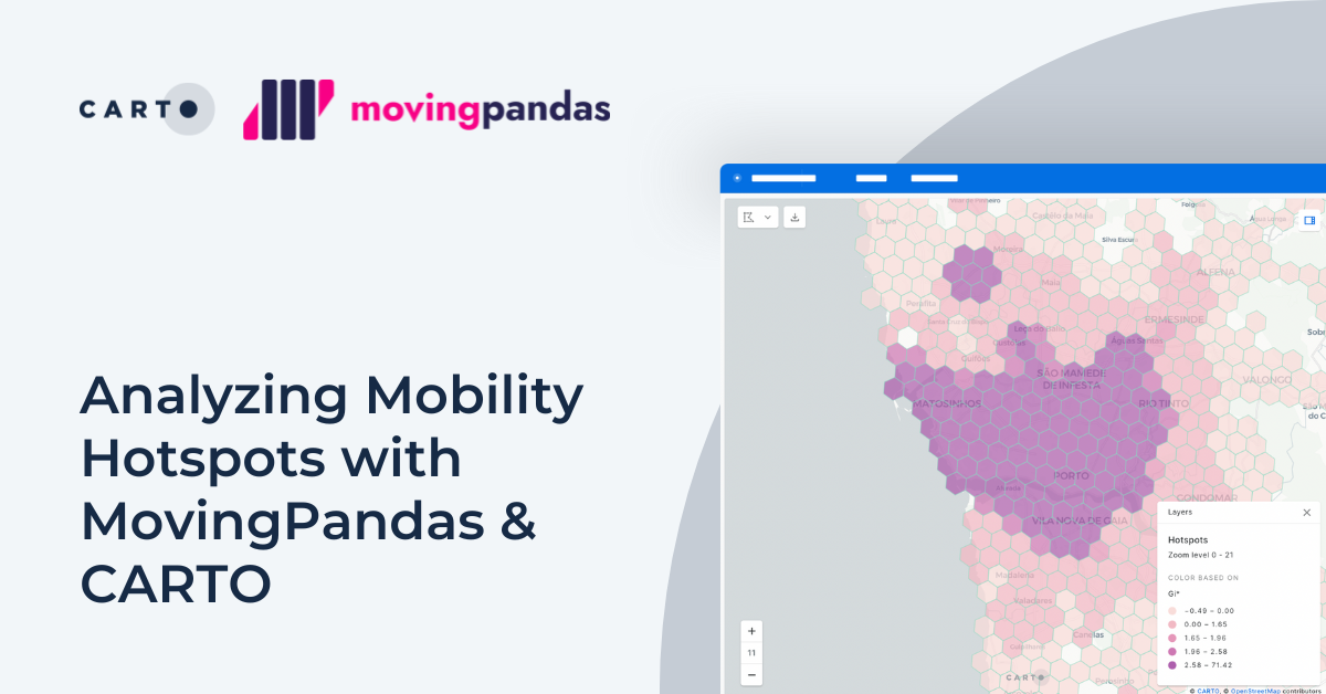
Learn how integrating MovingPandas with CARTO in Snowflake boosts urban mobility analysis by uncovering traffic hotspots and optimizing city transportation.
Explore mobility hotspots with MovingPandas and CARTO. Tutorial on transforming trajectory data into space-time hotspots for intelligent decision-making.
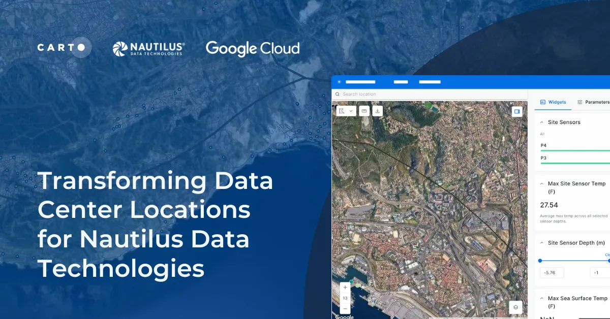
Learn how we are collaborating with Google Cloud to provide Nautilus Data Technologies with an innovative solution for data center site selection and monitoring.
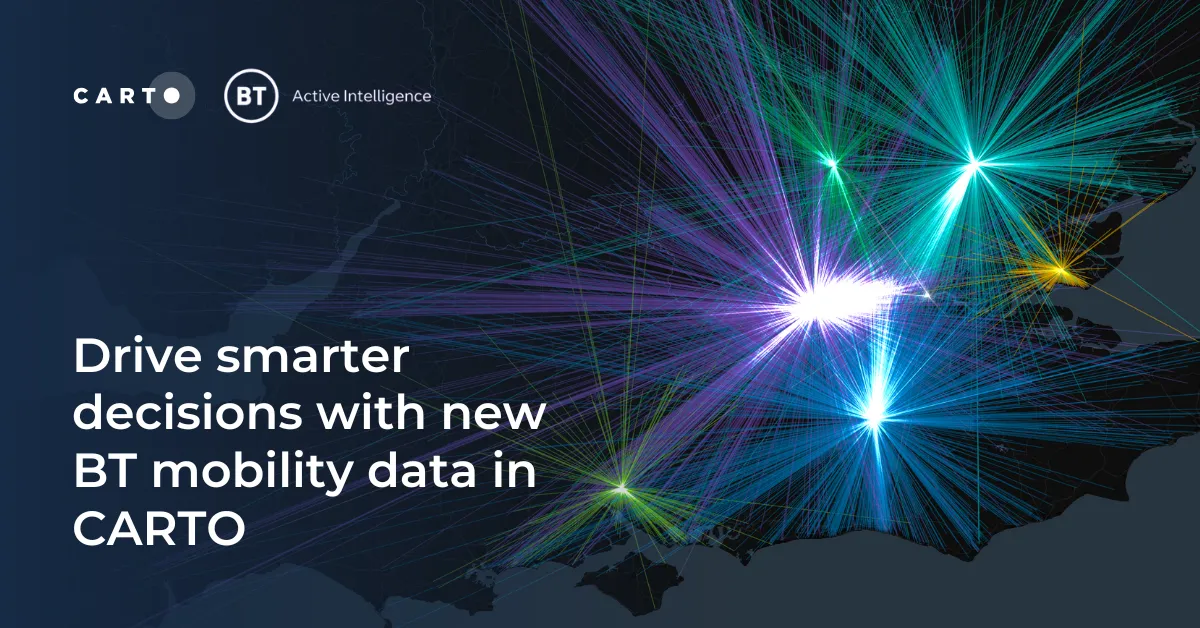
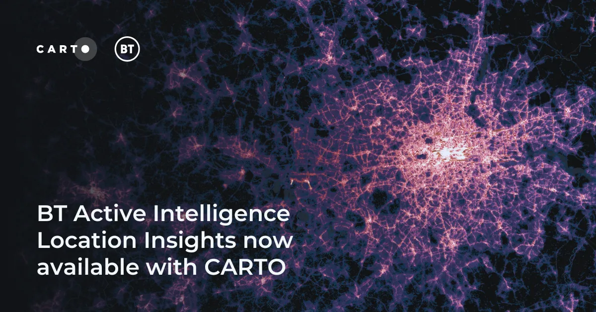
Access hyper-local footfall insights with BT Active Intelligence Location Insights, now available with CARTO! Explore granular mobility data in the cloud.
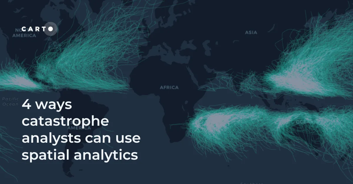
Discover 4 different spatial analytics techniques Catastrophe Analysts can use to understand key climate-related risks for better insurance decision-making.
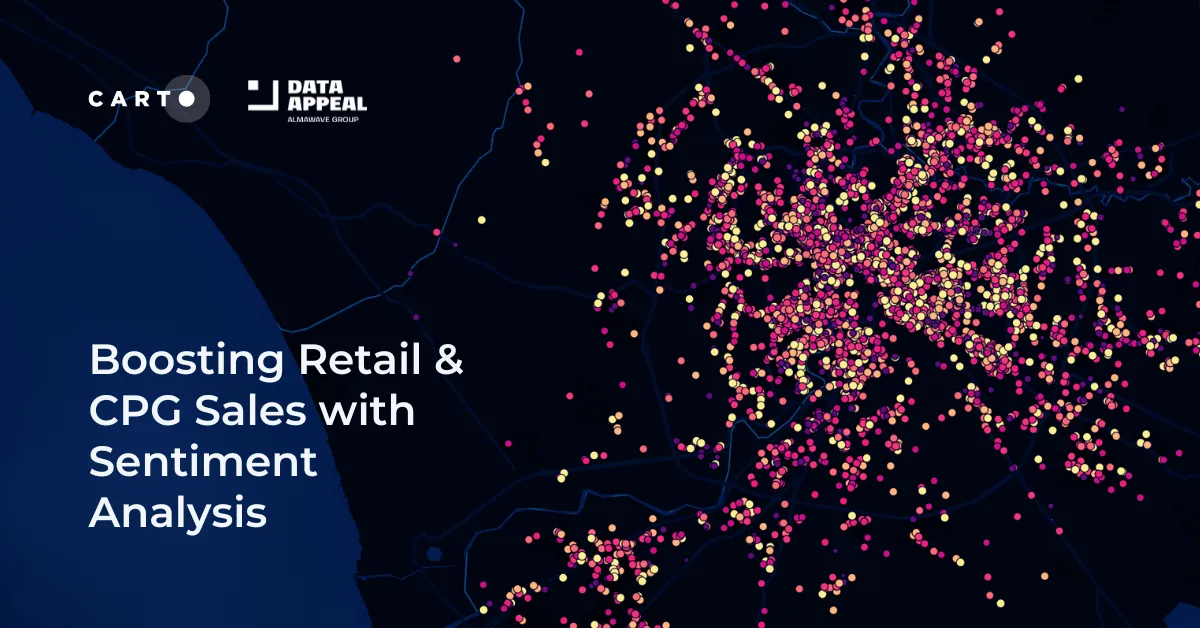
Leverage sentiment analysis for retail growth. Explore Data Appeal's insights, using sentiment data for strategic business expansion. Free 14-day trial.
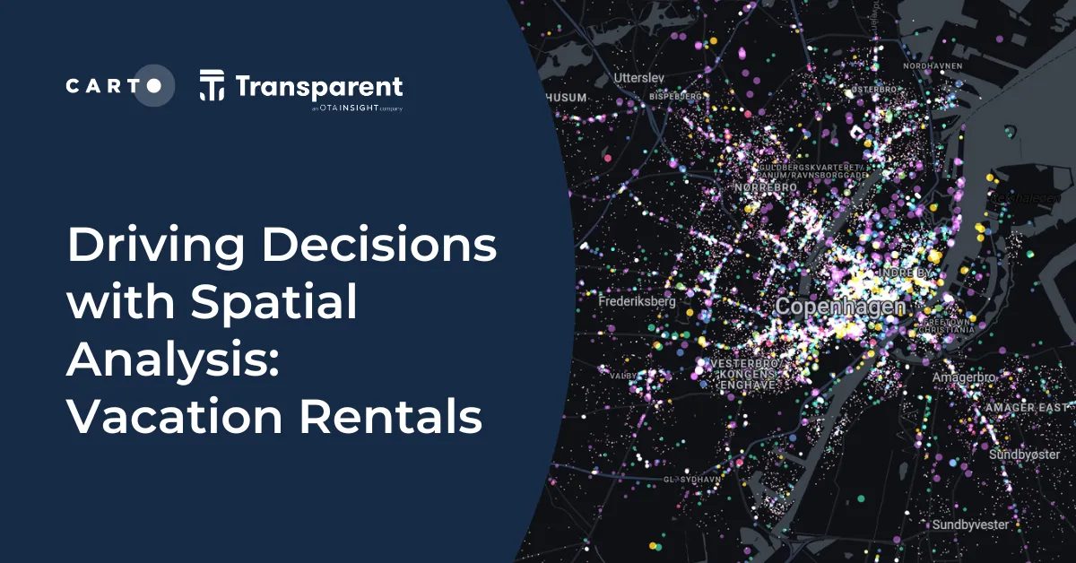
Discover spatial trends in vacation rentals & relationships with land use, ft. tutorials on how to conduct this analysis and use it to drive decision-making.
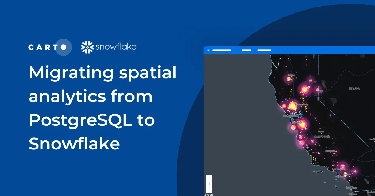
Discover seamless migration steps from PostgreSQL to Snowflake for advanced spatial analytics. Unleash the power of CARTO for scalable, performant workflows.
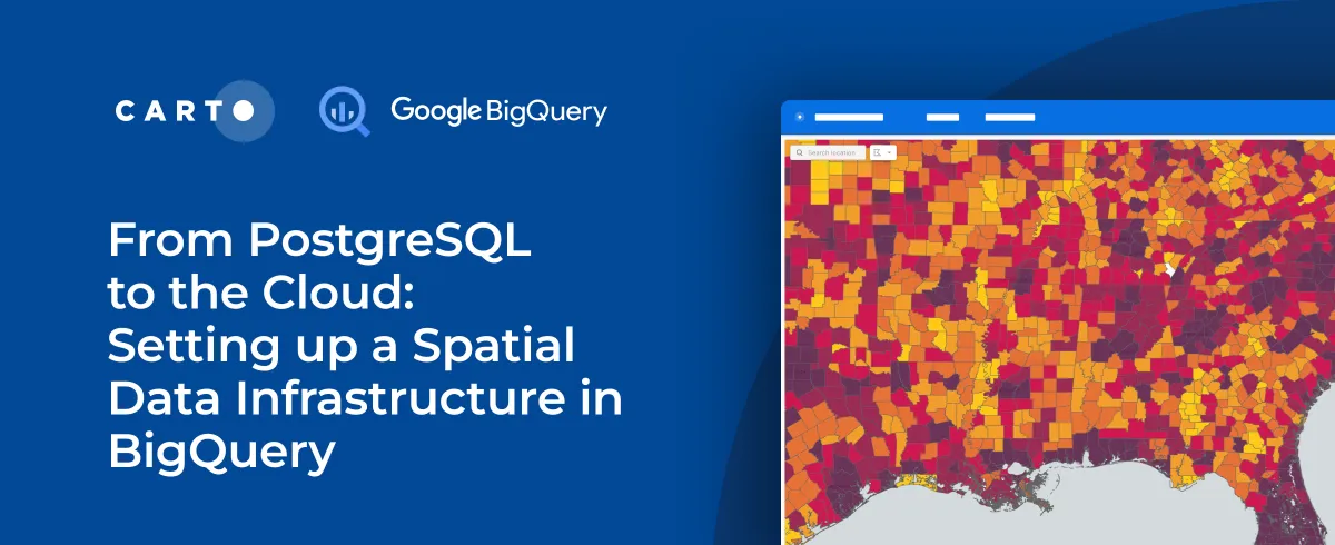
As cloud-based architectures gain momentum, read our step-by-step guide to migrating PostgreSQL spatial data and analytics workflows to Google’s BigQuery.
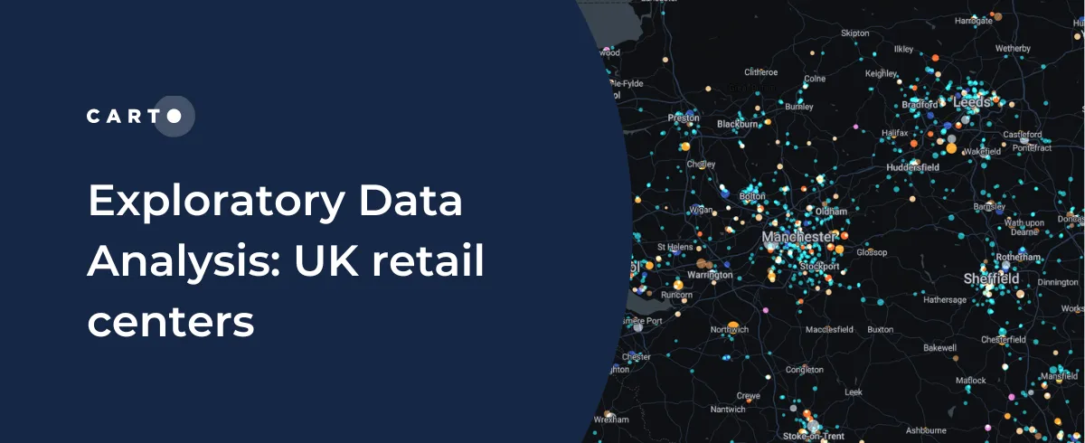
CARTO shares how you can use Exploratory Data Analysis to better understand your data and frame future analysis with CDRC’s latest dataset - UK Retail Centres
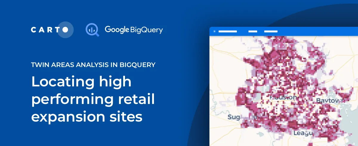
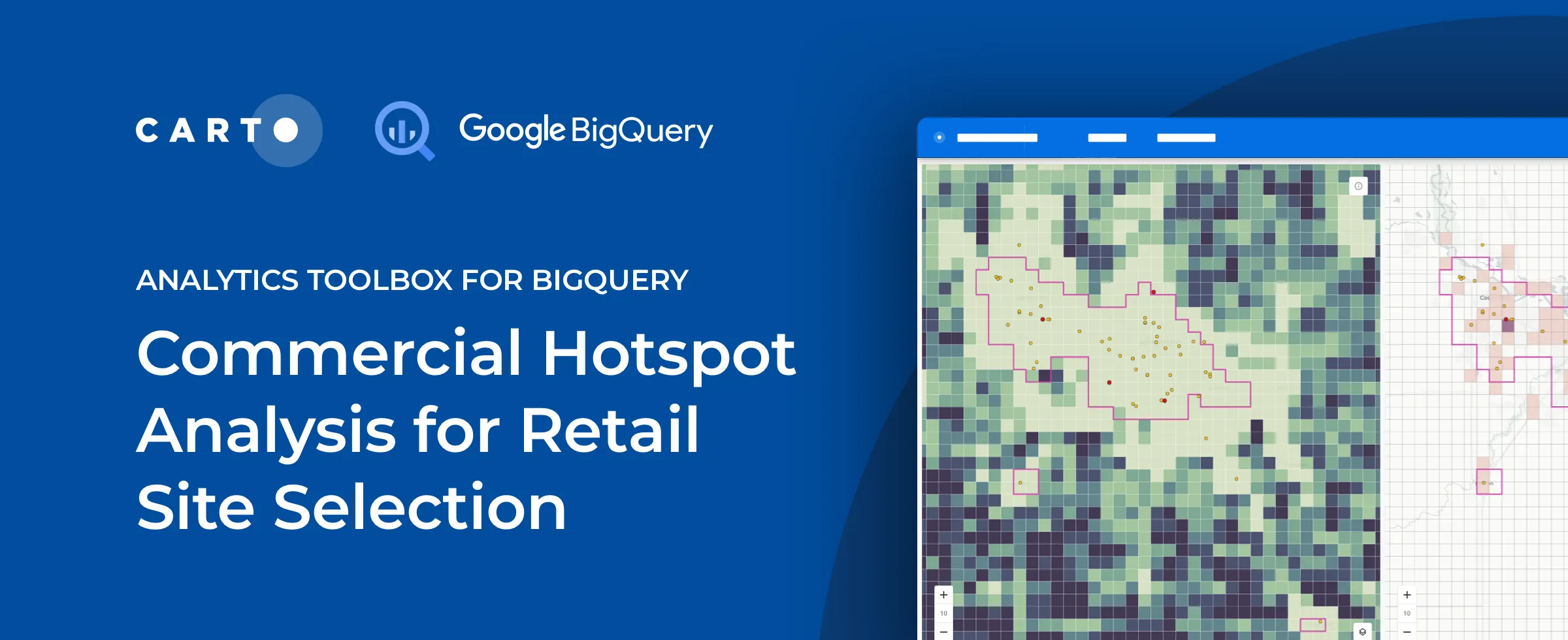
The Retail module in our Analytics Toolbox for Google BigQuery now includes Twin Areas analysis, an essential tool in Site Selection analytics. Learn more.
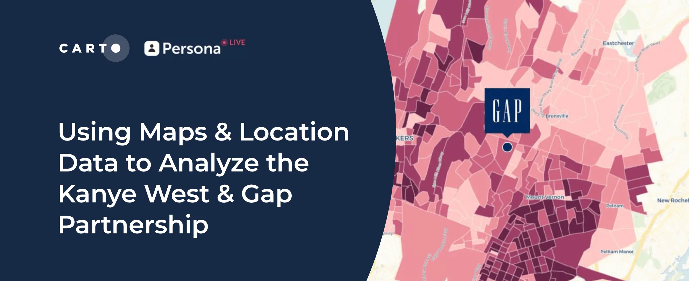
Kanye West's partnership with Gap generated a lot of buzz but how has it affected in store sales & visitation? Find out using maps & behavioral spatial data.
Kanye West's partnership with Gap generated a lot of buzz but how has it affected in store sales & visitation? Find out using maps & behavioral spatial data.
Join our team at upcoming events across the globe, including Big Data & AI World, Shoptalk, GEO Business, Home Delivery World, & Geospatial World Forum
We are delighted to announce the closure of a $61 million Series C round led by New York-based global venture capital & private equity firm Insight Partners
We are pleased to announce the release of a new version of CARTO Spatial Features, including new variables for urbanity level, elevation, & climatology
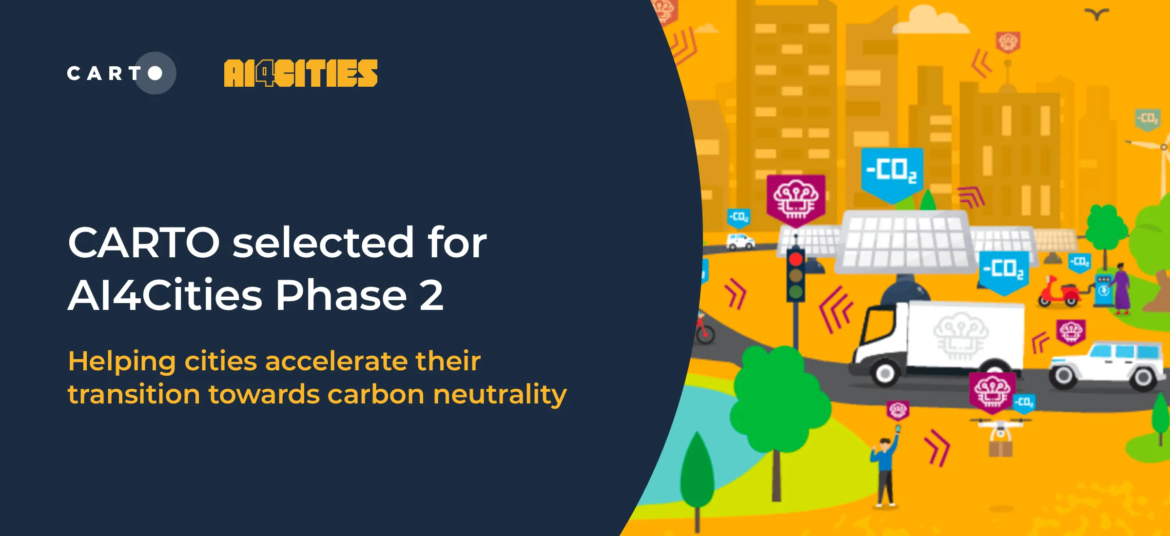
We are pleased to announce that we have been selected to participant in phase 2 of AI4Cities, a project to help cities accelerate their transition towards carbon neutrality
Index, or Z Scores, have often been used in geospatial analytics to identify hotspots & rank locations. Discover how to visualize them using Google BigQuery.
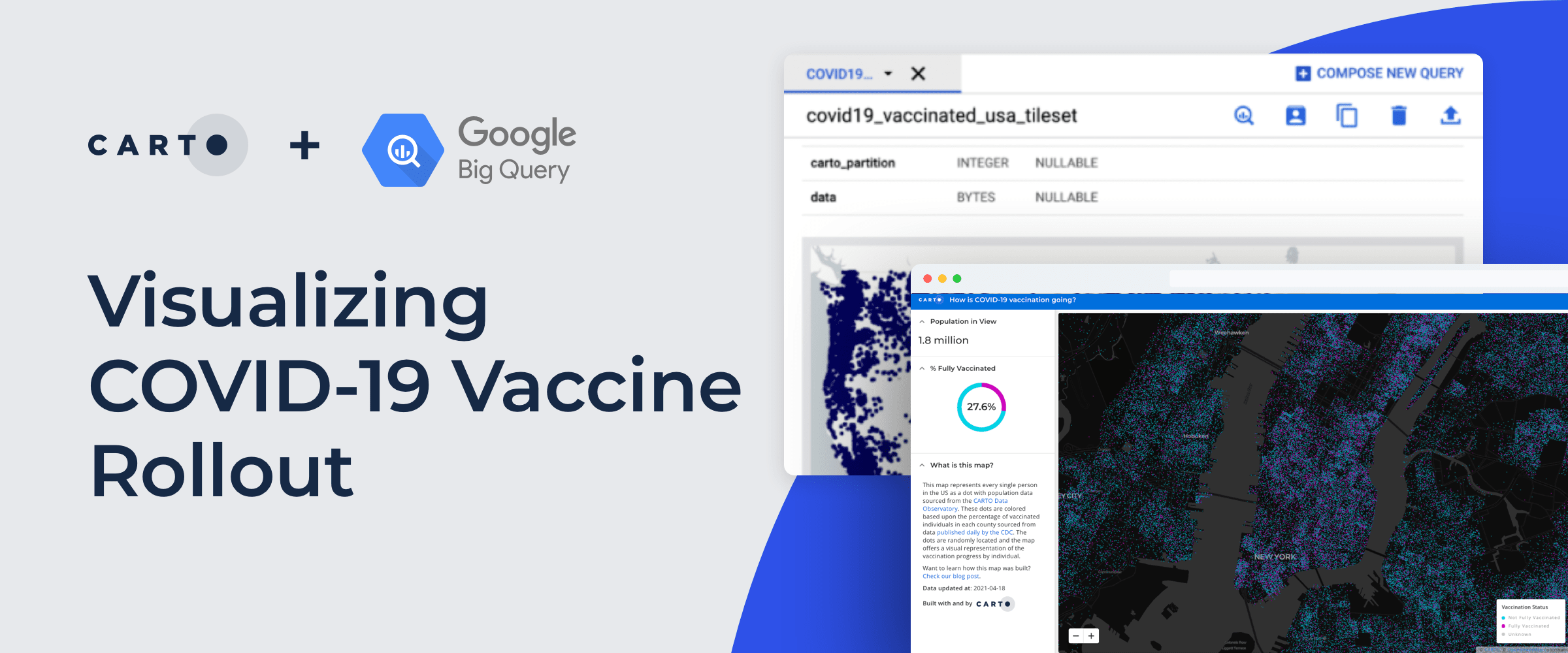
Recently we published a map to track the COVID-19 vaccination rollout in the US–learn how this Cloud Native Spatial App was developed using CARTO & Google Cloud
Discover how to scale your analytical workflow & access massive geospatial datasets with Google Cloud & CARTO & the general availability of BigQuery Tiler
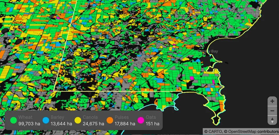
Read how our partner NGIS built a spatial web application, CroppingHub, to detect crop types & predict crop yield using cloud computing & machine learning