PlacePulse Embeddings: a Fingerprint for Every Place in the US
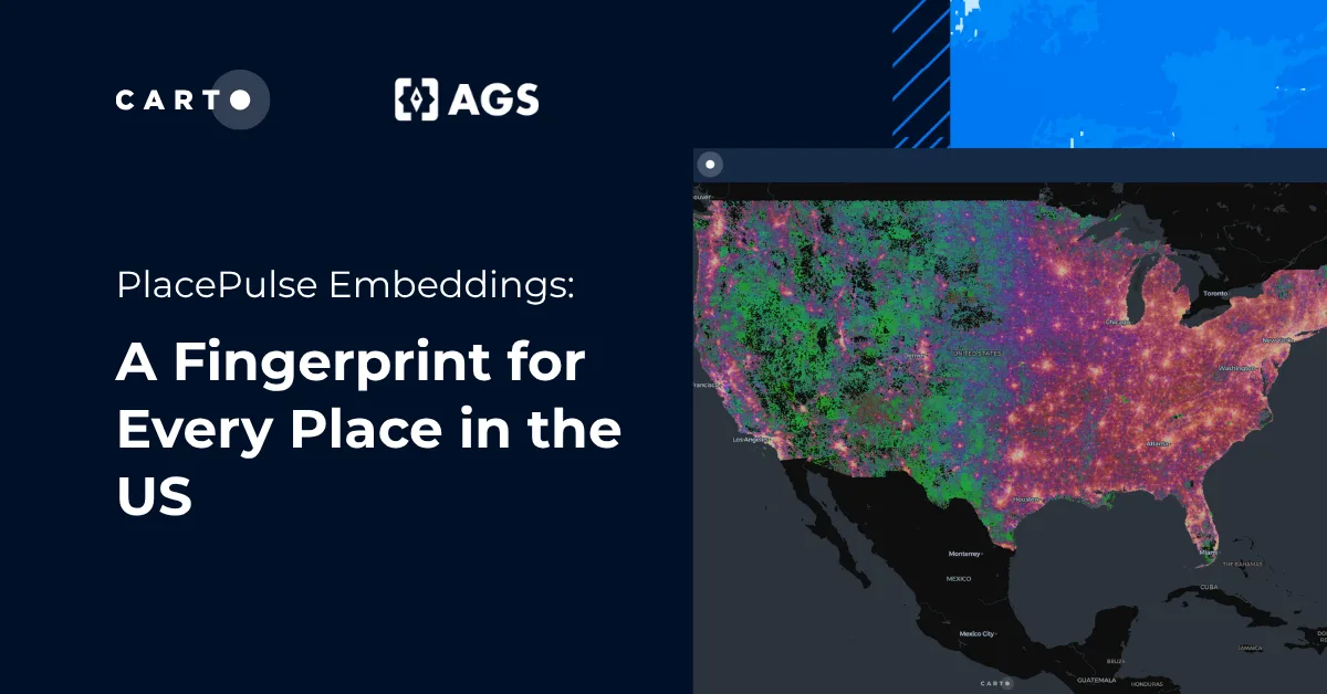
PlacePulse Embeddings, built by CARTO and AGS, give every place in the US a single vector capturing its people, economy, housing, and environment.
Spatial Data SciencePlacePulse Embeddings, built by CARTO and AGS, give every place in the US a single vector capturing its people, economy, housing, and environment.
Spatial Data Science