The 12 questions enterprises ask before buying a cloud-native GIS platform


If you are evaluating a cloud-native GIS platform right now, this is the checklist your peers are already using. That level of scrutiny is fair. A platform like this sits next to the systems your business already runs on and touches every team that works with location data, so the decision carries the same weight as picking a cloud data warehouse or replacing a CRM. Here is each question we get asked, and how we answer it.
1. Where does our spatial data actually live?
In your own cloud data warehouse, where it lives today. CARTO connects to BigQuery, Snowflake, Databricks, Redshift, and Oracle, and pushes every computation down into the warehouse. Data is never copied out to our servers. This is the most asked question of 2026, and we wrote a full post on where your data lives, including hybrid setups.
2. Does CARTO work with our data stack, even a hybrid one?
Yes, including mixed environments. This year we have answered this for a reinsurer running Databricks and Snowflake side by side, and a telco extending an on-premise platform to Azure. One workspace can hold connections to BigQuery, Snowflake, Databricks, Redshift, and Oracle at the same time, so there is no consolidation project to run first.
3. Should we deploy GIS as SaaS, self-hosted, or a native app?
All three exist: CARTO SaaS, self-hosted on your own VMs or Kubernetes, and a Native App running through Snowflake Container Services. Regulated buyers tend toward self-hosted; everyone else usually starts with SaaS. Our post on CARTO deployment options covers the decision criteria.
4. Does a cloud-native GIS platform respect our existing security model?
CARTO inherits the governance your warehouse already enforces. Row-level security, single sign-on, and group-based access all carry over, so a viewer sees only what their warehouse identity allows. You are not maintaining a parallel permission system.
5. How does CARTO’s usage-based pricing work?
Your subscription includes unlimited users and a usage allowance that platform activity draws from, rather than a per-seat meter that penalizes adoption. Buyers coming from per-user licensing tell us this is the model they wish they had negotiated years ago.
6. Can we buy CARTO through our cloud marketplace?
Yes, through the Google Cloud Marketplace, Snowflake Marketplace, Databricks Marketplace, or the AWS Marketplace, drawing down committed spend you have already negotiated. For many buyers, this is the fastest procurement path available.
7. Can we trust AI Agents in a GIS platform?
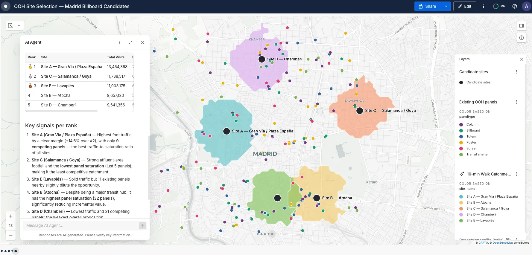
The questions behind this one deserve their own list, and we gave them one in the 6 questions every enterprise asks before turning on AI Agents in GIS. The short version: bring your own model or use ours, your data is not used for training, agents are scoped to approved tables, and every agent action is authenticated and logged under your existing controls.
8. What spatial data comes with CARTO?
Most companies arrive with their own proprietary data already: customer records, store networks, policy portfolios. The real question is what you can add to it.
That is what the CARTO Data Observatory is for. It offers thousands of public and premium datasets, covering demographics, points of interest, mobility, environment and much more, delivered into your warehouse as governed tables so you can enrich your own data right next to it, with no pipelines to build.
Public data is included; premium datasets are licensed per provider. Evaluators regularly ask how providers are vetted, and the answer is that we validate providers and help you audit coverage for your specific markets before you commit.
9. Why not just use our BI tool for spatial analysis?
Because you will hit the same wall the teams calling us already hit. We have heard how Tableau maps could not handle high data volumes, how teams are rebuilding spatial logic by hand in Power BI, and how open-source libraries stall at enterprise scale.
BI tools visualize locations, while a spatial analytics platform computes with them: drive-time calculations on real road networks, H3 spatial indexes over billions of rows, site selection models, and territory design, powered by the CARTO Analytics Toolbox. And the results flow back into your BI tools, since maps can be embedded where your teams already report.
10. How is a cloud-native GIS platform different from legacy GIS?
Structurally, not incrementally. Desktop-era GIS keeps spatial work gated behind specialist seats and separate data stores. A cloud-native platform runs where your data already is, prices for broad access rather than restricting it, and adds AI Agents so business teams get answers without queuing for a specialist. Enterprises are raising their legacy vendor’s per-user licensing as the trigger for looking around. We keep the comparison factual: run your own workloads against both and measure.
11. How do we evaluate a spatial analytics platform before committing to an annual contract?
With a structured proof of concept, run before you sign anything. Depending on scope, that ranges from a guided trial in your own environment to a working session where our data science team builds against your actual data.
Serious evaluations get real support. We would rather you test the platform hard, on your own data and your own use case, than commit to a year and discover the gaps afterwards.
12. How fast can we implement a spatial analytics platform, and what skills does our team need?
Typical CARTO implementations land in weeks to a few months depending on scope, not the multi-quarter rollouts legacy GIS taught you to expect. Analysts comfortable with SQL get productive quickly in Workflows, and business users consume maps, apps, and AI Agents with no GIS background at all. Training sessions are part of onboarding, not an upsell surprise.
Ask us the hard version of these 12 questions
These twelve answers are the honest summary, but your environment has specifics no blog post covers. Bring your hardest version of these questions and your own data model. Request a demo.
Frequently Asked Questions
Where does our spatial data live with a cloud-native GIS platform?
In your own cloud data warehouse, where it lives today. CARTO connects to BigQuery, Snowflake, Databricks, Redshift and Oracle, and pushes every computation down into the warehouse, so data is never copied out to CARTO servers. One workspace can connect to more than one warehouse at the same time, which covers hybrid estates without a consolidation project.
Why not just use our BI tool for spatial analysis?
BI tools visualize locations; a spatial analytics platform computes with them. That means drive-time calculations on real road networks, H3 spatial indexes over billions of rows, site selection models and territory design. Teams reach a spatial analytics platform after hitting limits such as BI maps that cannot handle high data volumes, or spatial logic rebuilt by hand in a dashboard tool. The results still flow back into your BI tools, since maps can be embedded where your teams already report.
How is a cloud-native GIS platform different from legacy GIS?
Structurally, not incrementally. Desktop-era GIS keeps spatial work gated behind specialist seats and separate data stores. A cloud-native platform runs where your data already is, prices for broad access rather than restricting it, and adds AI Agents so business teams get answers without queuing for a specialist.
How does usage-based pricing work for a GIS platform?
Your subscription includes unlimited users and a usage allowance that platform activity draws from, rather than a per-seat meter that penalizes adoption. Buyers coming from per-user licensing consistently say this is the model they wish they had negotiated years earlier.
How do we evaluate a spatial analytics platform before committing to an annual contract?
Run a structured proof of concept before you sign. Depending on scope, that ranges from a guided trial in your own environment to a working session where CARTO’s data science team builds against your actual data. Test the platform hard on your own data and your own use case, rather than committing to a year and finding the gaps afterwards.
How fast can we implement a spatial analytics platform, and what skills does our team need?
Typical CARTO implementations land in weeks to a few months depending on scope, not the multi-quarter rollouts legacy GIS taught teams to expect. Analysts comfortable with SQL get productive quickly in Workflows, and business users consume maps, apps and AI Agents with no GIS background at all. Training sessions are part of onboarding.