

Get Common, Be Creative: Our Open Data Initiative


We all need an assist when we're thinking big. At CartoDB we've seen some of the [most original user visualizations] inspired by common data. So we're focused on growing public data offerings to help you make maps that tell more creative and comprehensive stories.
Perhaps you're familiar with our common data page from your dashboard. Examples of data you may find there include World Borders European Countries Urban Areas and Populated Places. The idea is for you to add a table from the list to your dashboard and start mapping it to suit your story.
Adding this data to your own maps is as easy as one two three. First go to Common data in your account dashboard. Second select the dataset you want to import it into your own account. Third start mixing and mapping that data to tell your own stories.
Natural
From plotting world rivers to tracking U.S. stream flows and earthquakes in real-time CartoDB facilitates access to the most current physical datasets from U.S. Geological Survey National Atlas and other institutional databases. Our users have built applications upon these types of datasets to inform the public about environmental issues.
Political
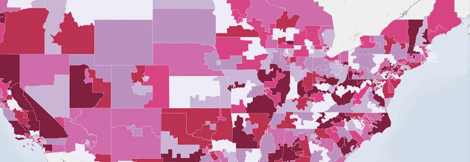
Governments and people inform the next meta-category of CartoDB's common data. Within our Administrative Regions subtab you may access datasets as general as World Borders from Natural Earth all the way down to Autonomous Communities of Spain.
Cultural
Datasets related to urban life and constructed spaces comprise this category of common data. For instance by sourcing from MapPLUTO users are able to dig deep into the grid of New York City and produce stunning insights about the city's past and present.
In addition to developing in-house public datasets we're adding more from outside sources every week. Pretty soon we're going to ask you in a big way to get involved! So if you are creating improving or curating datasets for the public let's talk!
Visit us here and access your dashboard to keep updated on our latest additions.
Happy mapping!


