Boost Telecom Analysis with FCC Data - now available on CARTO!


We're excited to announce that you can now subscribe to Federal Communications Commission (FCC) data - directly from CARTO!
Covering the entire U.S., this data includes comprehensive insights into broadband and mobile availability, upload/download speeds, providers, technology types, and more! The data is a great resource for scaling your telecom analytics, from network planning & deployment to geomarketing. It’s also available for free - meaning you can access it at no cost, all you need is a CARTO account!
The best part? The subscription process is entirely cloud-native. You can seamlessly subscribe through the CARTO Workspace and access it through your cloud data warehouse. All of your data processing and analysis happens inside your data warehouse, guaranteeing speed, scalability and security.
Keep reading to learn more about this new data and see examples of it in action!
%20data%20with%20CARTO.webp)
FCC data explained
The FCC is a U.S. government agency responsible for regulating interstate and international communications by radio, television, wire, satellite, and cable to ensure a competitive and accessible communications environment. Their remit means that their data is incredibly extensive and authoritative.
In CARTO’s Data Observatory - our hub of over 12,000 public and premium spatial datasets - you’ll find:
- Fixed Broadband Availability: explore broadband availability by provider and technology, as well as variables sharing upload and download speeds.
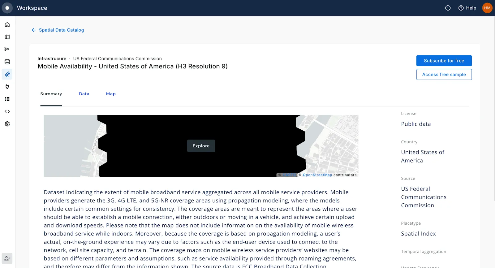
- Mobile Availability: mobile data availability, including breakdown by 3G/4G/5G, upload/download speeds and indoor/outdoor coverage.
Explore our Spatial Data Catalog to learn more about these datasets.
Both of these tables are available as a H3 Spatial Index - a global grid system where the location is encoded by a short reference ID (rather than a complex geometry), making them ideally suited for lightning-fast analysis of big data! You can learn more about Spatial Indexes in our FREE report Spatial Indexes 101.
How to access FCC data
Want to use this data? Log in to your CARTO account (or sign up for a FREE 14-day trial here) and head to the Data Observatory tab. Locate the table you’re interested in, click Subscribe for free and… that's it, you’re ready to start analyzing!
FCC telecom data for scalable insights
Ready to harness the power of FCC data for your telecom analysis? Here’s how you can put this data to work:
- Network Planning & Optimization: Analyze broadband and mobile network coverage to identify underserved areas. Use insights on speeds and technology types to optimize network expansion and improve service quality.
- Competitive Analysis: Compare broadband and mobile service offerings from different providers. Understand provider market share and performance to strategize competitive positioning.
- Market Expansion: Identify potential new markets by evaluating areas with low broadband or mobile coverage. Tailor marketing and expansion strategies based on local data on speeds and availability.
- Customer Segmentation: Segment customers based on their access to different types of broadband or mobile services. Design targeted marketing campaigns and product offerings based on their connectivity needs and preferences.
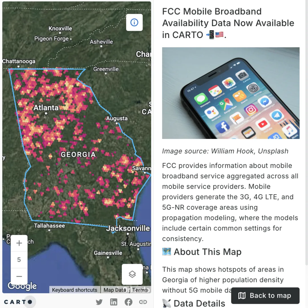
Check out the map below (click here to open it in full screen)! In this example, yellow and red areas - such as those on the outskirts of Atlanta - have been identified as ideal for 5G network expansion. How? Using the FCC Mobile Availability data, gaps in the 5G network have been identified. Within these gaps, hotspots of high population density have been calculated, representing areas where a statistically significant number of residents have no access to 5G data.
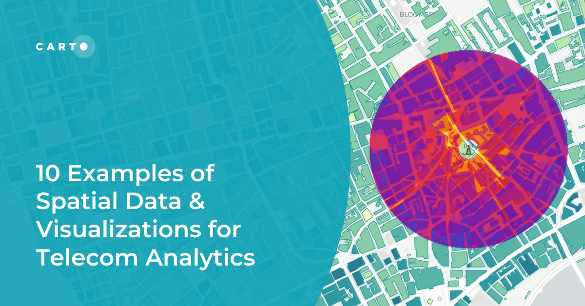
Learn more about how you can leverage spatial analysis to make more efficient decisions in our recent blog 10 Examples of Spatial Data & Visualizations for Telecom Analytics.
—
Ready to start taking your telecom analytics to a whole new scale? Request a demo with one of our geo experts today!