CARTO raises $61M to lead the way in cloud native spatial analytics


.png)
Today we are delighted to announce the closure of a $61 million Series C round led by New York-based global venture capital and private equity firm Insight Partners with participation from the European Innovation Council (EIC) Fund as well as our existing investors Accel Salesforce Ventures Hearst Ventures Earlybird and Kibo.
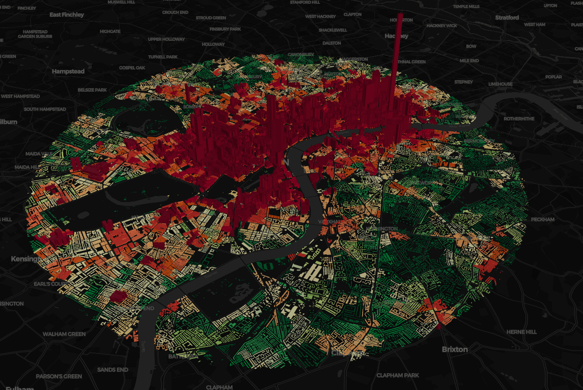
Over the past few years we’ve seen rapid growth in a range of verticals, including Retail, CPG, Logistics, and Telecoms and we are excited to continue enabling users of modern analytics stacks to bring cloud native Location Intelligence to the enterprise (you can see some examples of how on our customer stories page with examples from Renault, JLL, Bumble and Mastercard).
With so many of our customers moving to the cloud, we’re proud to enable end-to-end analytics workflows using location data directly on top of the major cloud data warehouses. With support for Google BigQuery, Snowflake, Amazon Redshift, Databricks and PostgreSQL systems, we provide a fully cloud native approach to spatial analytics versus legacy GIS systems. This results in a more scalable and cost-effective solution for working with spatial data and adds an unrivalled level of interoperability through Spatial SQL.
Or as our board member George Mathew, Managing Director at Insight Partners puts it:
What CARTO brings to the market is a category-defining cloud native spatial data analytics solution. The platform’s ability to provide actionable insights from data warehouses is helping CARTO pioneer a major frontier in geospatial analysis. Insight is thrilled to partner with Luis, Javier, and the tremendous team at CARTO on this exciting next chapter in the company’s growth journey.
The rise of the data warehouse has allowed organizations to unify and connect all their data in a single location and geospatial data is no exception. Now thanks to our offering they can also perform spatial analytics natively in the cloud. Our Spatial Extension runs on top of all the major data warehouses and takes full advantage of all their benefits giving our users a complete suite for geospatial analysis that is highly performant scalable and secure.
Furthermore because Spatial SQL uses the same elements and structure as regular SQL it is compatible with all modern analytics stacks. Whether it is site selection for brick & mortar route optimization in logistics or customer segmentation in CPG - more and more businesses want to understand not only where things are happening but also why they are happening there - and that’s what we enable.
We are also thrilled to welcome the European Innovation Council (EIC) Fund on board. Europe's NextGenerationEU program sets a unique strategy to tackle some of the biggest challenges of our generation, such as climate change or inequality; areas where geospatial can be a powerful enabler.
We would like to take this opportunity to thank our customers and partners for trusting us to modernize their geospatial stacks, as well as congratulating our talented team across the US and Europe who have allowed us to lead the charge at the forefront of geospatial innovation.
If you would like to find out more about our cloud native Location Intelligence platform, request a demo today.
 | This project has received funding from the European Union's Horizon 2020 research and innovation programme under grant agreement No 960401. |