GIS for the Agentic Era: Highlights from #SDSC26 London


On May 14th, over 400 data analysts, GIS professionals, developers, and AI practitioners gathered at the Royal Geographical Society in London for this year's Spatial Data Science Conference (#SDSC26).
Each year, SDSC brings together a snapshot of where the geospatial industry is heading. And in 2026, that picture felt especially clear.
Across every session, from enterprise AI and geospatial foundations to sustainability, mobility, and urban analytics, a few consistent themes emerged: spatial intelligence is becoming more conversational, automated, and deeply embedded into the systems that power modern organizations. At the same time, AI is no longer just a tool layered on top of GIS workflows. It is becoming part of how geospatial work itself is created, executed, and scaled.
This year also marked a major milestone for CARTO, with Javier de la Torre introducing CARTO for Agents, a new approach designed to help spatial professionals work directly alongside AI agents to create maps, run analysis, build workflows, and develop applications faster than ever before.
Let's walk through the big announcements and key trends from the event.
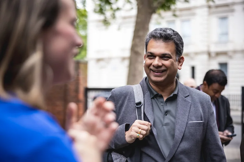
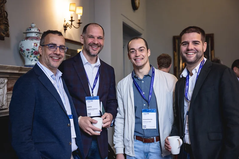
CARTO team welcoming SDSC attendees
Upgrading the GIS Interface for the Agentic Era
Kicking off the day, Javier de la Torre, Founder & CSO at CARTO, introduced what he described as "a new way of doing GIS," one built for the age of AI agents, exploring how rapid advances in models like GPT-5, Gemini, Opus, and open-source systems are fundamentally changing how people interact with software.
As Javier explained during the session:
"Whole categories of work that used to live in a UI are becoming a conversation."
And now, that shift is arriving in geospatial. The keynote introduced CARTO for Agents, a major new evolution of the CARTO platform designed to help GIS professionals work directly with AI agents through conversational workflows, a CLI script-friendly terminal interface for both practitioners and agents, as well as richer support for open standards like MCP (Model Context Protocol).
The idea is simple, but powerful: everything you can do in CARTO's interface, from creating maps to running analysis, building workflows, and deploying applications, can now be accessed through agent-native tooling, including industry-leading coding agents and chat-based agents.
Essentially, this introduces a headless approach to geospatial workflows, allowing agents to interact with CARTO without relying on a traditional browser interface.
The announcement included three key new and expanded capabilities:
- CLI: for interacting with the platform directly from the terminal, with the latest release adding first-class support for Builder map and Workflow authoring for both practitioners and agents.
- MCP Server: allowing CARTO to run directly in AI coding tools and chat environments.
- Agent Skills: designed to teach agents specialized geospatial workflows and reasoning patterns for more deterministic, reliable results.
Throughout the keynote, the message was focused on how AI is expanding what spatial professionals can do, making spatial work faster and more accessible than ever before. Or as Javier put it near the end of the session:
"The conversation is the interface."
👇 Watch the full keynote here:
CARTO Founder Javier de la Torre introducing CARTO for Agents at #SDSC26 London
Key Themes from SDSC26 London
1. Geospatial is becoming conversational
One of the clearest themes across sessions was how quickly spatial workflows are becoming more accessible through AI.
Across the day, speakers showed how natural language interfaces and AI agents are helping teams move from static tools to dynamic conversations with data, whether that's generating maps, running spatial queries, or exploring complex datasets.
This idea was central to the CARTO for Agents announcement, but it also surfaced in broader sessions. For example, Sandesh Rao from Oracle explored how enterprises are building secure AI agent systems that can orchestrate geospatial workflows inside governed environments. At the same time, other speakers demonstrated how AI is moving beyond "copilot" experiences toward systems that can actively execute multi-step spatial tasks.
Across all of these examples, the direction of travel was clear: geospatial is becoming something you talk to, not just something you operate.
2. Open infrastructure continues to shape the future
Interoperability remained a consistent theme throughout the conference.
Sessions across Snowflake, Oracle, national mapping agencies, and many other speakers highlighted how organizations are moving toward cloud-native, open geospatial architectures built on shared standards like GeoParquet and modern lakehouse systems.
A strong example came from Ordnance Survey, which shared how it has been modernizing its geospatial infrastructure to improve scalability and streamline how spatial data is delivered across teams and partners.
Rather than isolated GIS systems, the trend is toward spatial data living as a native part of enterprise data platforms, flexible, interoperable, and easier to integrate into analytics and AI workflows.
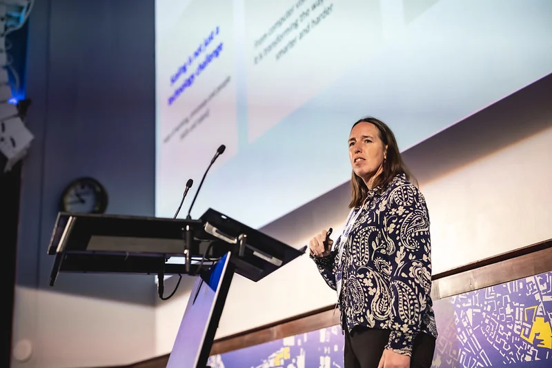
Head of Data at Ordnance Survey Debbie Wilson sharing their modernization journey for their geospatial stack
3. Making environmental risk financially visible
One of the most compelling sessions of the day came from NatureAlpha, where Rafael Camargo and Jasper Hajonides explored how geospatial AI is reshaping how financial institutions understand environmental and nature-related risk.
Their talk showed how combining environmental datasets, asset-level company locations, and AI-driven analysis can reveal exposure to risks such as biodiversity loss, water stress, deforestation, and ecosystem degradation.
The key shift they highlighted is that nature risk is no longer abstract. It is geographically specific, financially material, increasingly regulated, and trackable with the latest capabilities in geospatial foundation models and satellite imagery embeddings.
Across the conference, similar ideas surfaced in conversations around climate risk, supply chains, and sustainability reporting, reinforcing the role of geospatial data as a critical foundation for environmental and climate risk awareness.
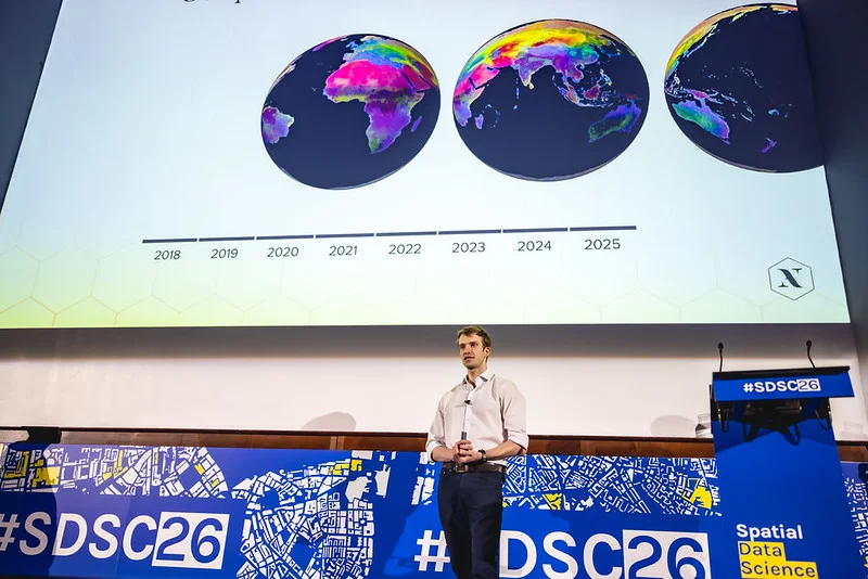
Head of AI & Data Science at NatureAlpha Jasper Hajonides discussing how to make nature-risk more visible for organizations
4. Cities are becoming living spatial systems
Urban intelligence and mobility analytics also featured prominently throughout the day. Speakers explored how cities are increasingly using spatial analytics to support real-time decision-making around housing, transportation, infrastructure, and climate resilience.
Madrid's innovation team showcased a "City Simulator" designed to help policymakers explore urban scenarios across mobility, emissions, and housing affordability.
Dr. Yijing Li of King's College London brought a local lens to the same theme, showing how geospatial analysis is being used across London to inform everything from stop-and-search equity and traffic safety to air quality near schools and emergency service coordination. Her framing captured where this work is heading: cities are moving from monitoring urban friction to orchestrating urban harmony, evolving into what she called the "Adaptive City" in the era of AI.
Across these talks, a common thread emerged: cities are shifting from static planning models toward continuously updated spatial systems that reflect how urban environments actually behave, in real-time.
5. The human element is what makes geospatial work
Across nearly every session, there was a shared recognition that tools and technology, including AI, are only part of the story. What consistently set the strongest examples apart was the human context behind them: the domain expertise, the local knowledge, and the organizational change required to turn capability into impact.
DPD Ireland's session was a clear expression of this. In rebuilding their route optimization engine, they found that the mathematically optimal solution wasn't the right one in practice.
Once human factors entered the picture, including driver familiarity with territory, predictability, and day-to-day satisfaction, efficiency on paper stopped being the goal. They deliberately moved along the Pareto frontier, trading some raw algorithmic efficiency for driver adoption, and ended up with a system that was both more effective and easier for their teams to embrace.
Their takeaway captured the broader theme of the day: technology is just a means to an end. The real questions are what problem you're solving, who needs to use the result, and how you bring an organization along with the change.
Tools will keep evolving. What endures is the expertise and judgment of the people working with them.

Looking ahead
SDSC26 London felt like a clear inflection point for the geospatial industry.
Not because of any single technology, but because of a broader shift in how spatial systems are being designed, accessed, and used, with AI agents increasingly playing a central role in how work gets done.
Geospatial is getting more embedded in how organizations work, and more accessible to the people using it. And if this year's conference is any indication, we're only at the very beginning of that transformation.
To learn more about the CARTO for Agents launch, you can explore our CARTO documentation or schedule time with our team to see how geospatial agents can help your organization scale spatial analysis and accelerate day-to-day work.