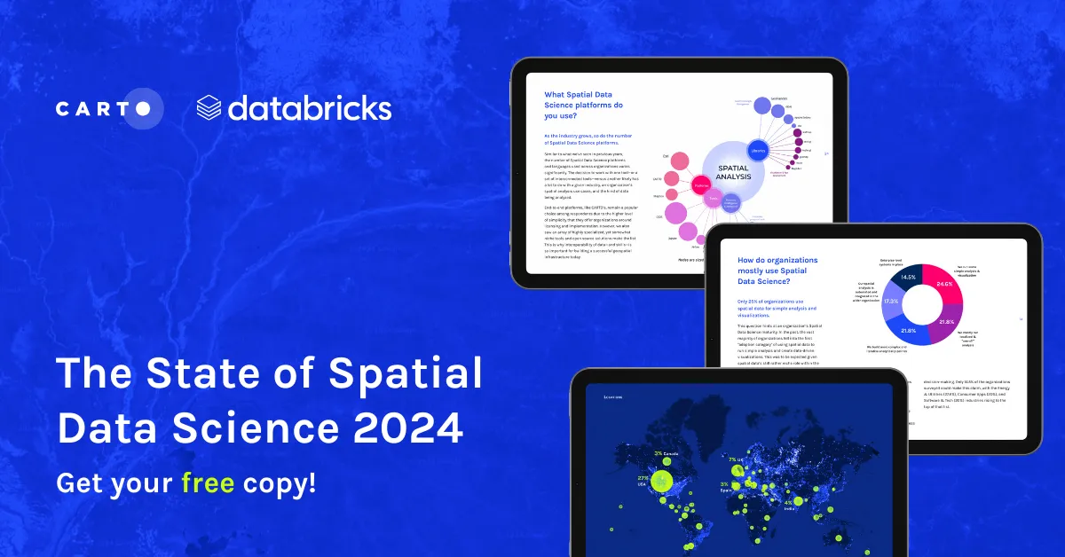
The State of Spatial Data Science 2024 - get your free copy!
Download your FREE copy of The State of Spatial Data Science 2024; stay ahead with insights on AI, cloud integration, GIS, climate impact & more!
NewsDownload your FREE copy of The State of Spatial Data Science 2024; stay ahead with insights on AI, cloud integration, GIS, climate impact & more!
News