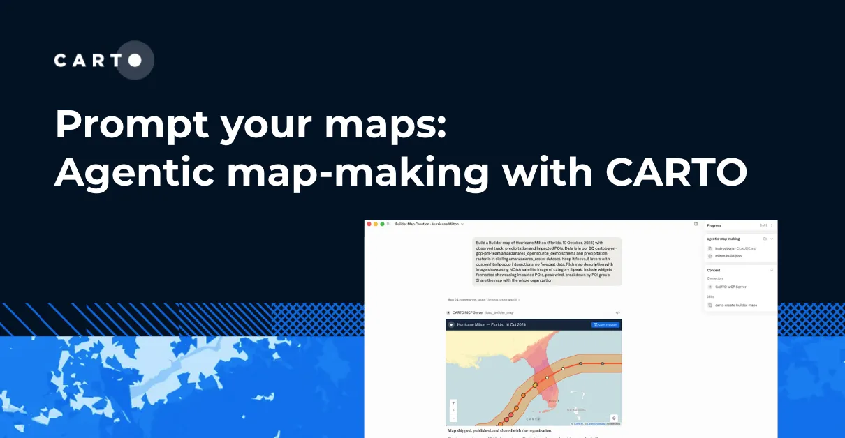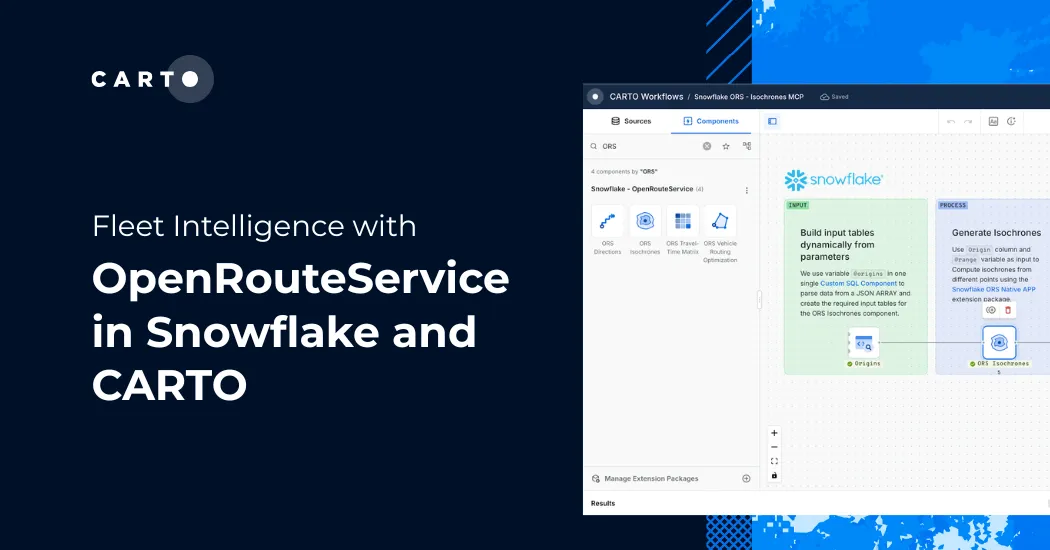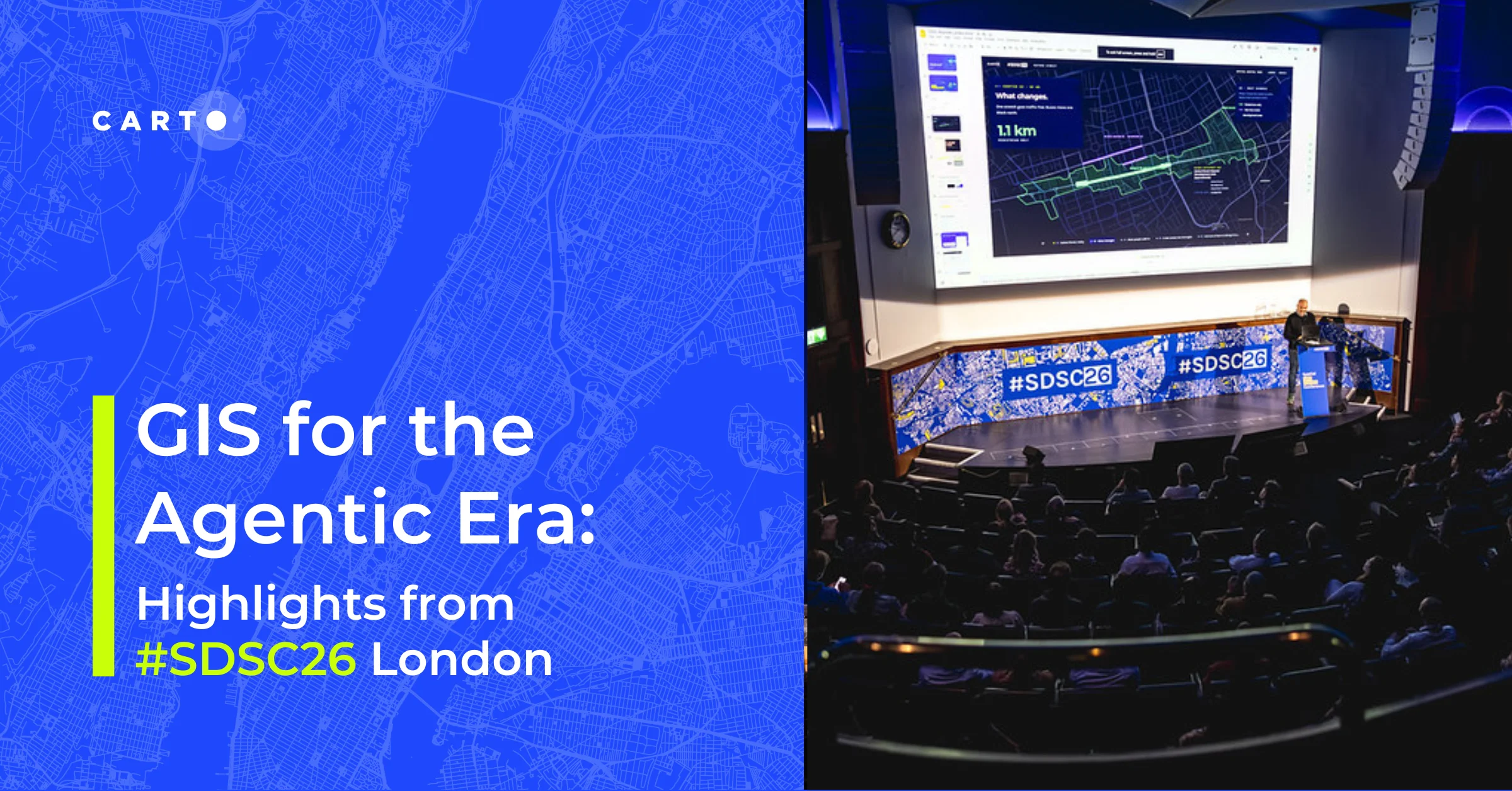
Agentic GIS in Snowflake with Cortex Code and CARTO
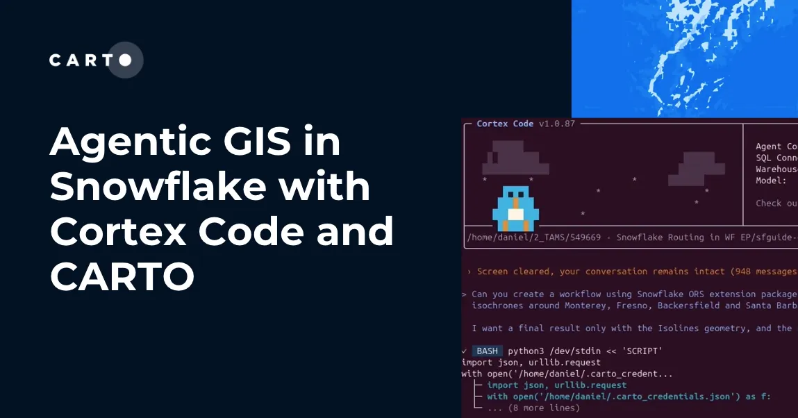
How CARTO for Agents integrates with Snowflake Cortex Code and Snowflake Intelligence to bring full agentic GIS, maps, workflows, and spatial apps inside your Snowflake environment.
Cloud NativeHow CARTO for Agents integrates with Snowflake Cortex Code and Snowflake Intelligence to bring full agentic GIS, maps, workflows, and spatial apps inside your Snowflake environment.
Cloud Native