CARTO Spatial Features, now with global urbanity, climatology, & elevation data
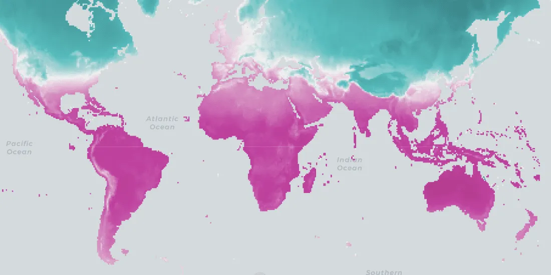
We are pleased to announce the release of a new version of CARTO Spatial Features, including new variables for urbanity level, elevation, & climatology
Spatial DataWe are pleased to announce the release of a new version of CARTO Spatial Features, including new variables for urbanity level, elevation, & climatology
Spatial Data