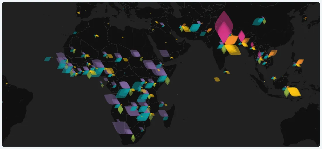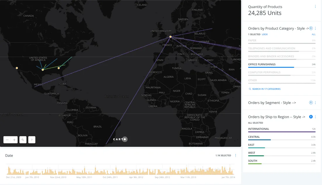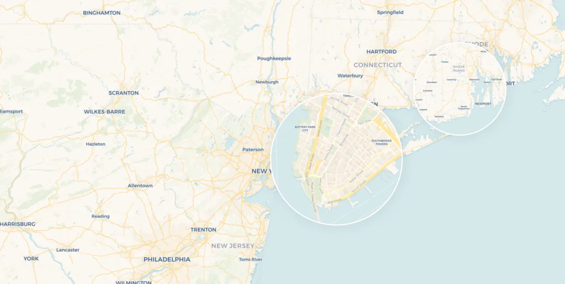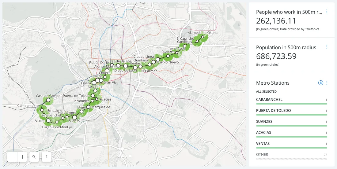
CARTO CARTO Contributors · Dec 22, 2015Zero cost, ten times as powerful, and cats. Thoughts from CartoDB15.Discover the highlights of CartoDB's Partner Summit, featuring insights from industry leaders. Explore the future trends in location intelligence.
CARTO CARTO Contributors · Dec 21, 2015Visualize 2015 Urban Populations with Proportional SymbolsProportional symbol maps are used to represent point data that are attached to a specific geographic location (like a city) or data aggregated to a point.
CARTO CARTO Contributors · Dec 15, 2015Medellín’s Data Portal Adds Transparency to Smart Cities InitiativeLocation data is paramount to intelligent cities planning and development.
CARTO CARTO Contributors · Dec 14, 2015American Panorama: The Next Generation AtlasDive into U.S. history with American Panorama, an interactive atlas powered by CartoDB, featuring animated maps and rich data visualizations.
CARTO CARTO Contributors · Dec 9, 2015Spotify’s Musical Map of the World - Bringing the Hits!Data-driven visualizations are a compelling method to engage audiences in some of the most unconventional ways.
CARTO CARTO Contributors · Dec 2, 2015Maptime's year of pizza year-end updateEarlier this year we announced a pizza-love fueled commitment to supporting our worldwide Maptime communities .
CARTO CARTO Contributors · Nov 30, 2015Take your city to the next level with our webinarThe ideal intelligent city model is one where technology and data serves the goal of improved standards of living sustainable use of resources and.
CARTO CARTO Contributors · Nov 25, 2015A Warm Welcome to CartoDB’s New AmbassadorsMeet CARTODB's new ambassadors - browse our members' gallery today!
CARTO CARTO Contributors · Nov 12, 2015Make a Thematic Map of Current Drought ConditionsThe most common maps built with CartoDB highlight a specific topic or theme of information. Cartographers refer to these as thematic maps .