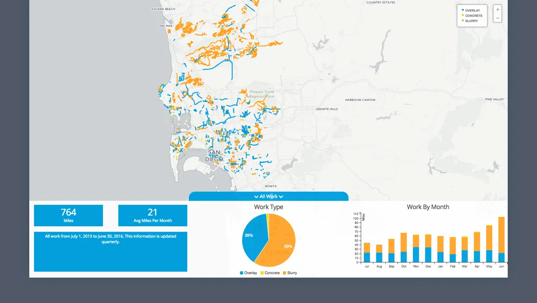
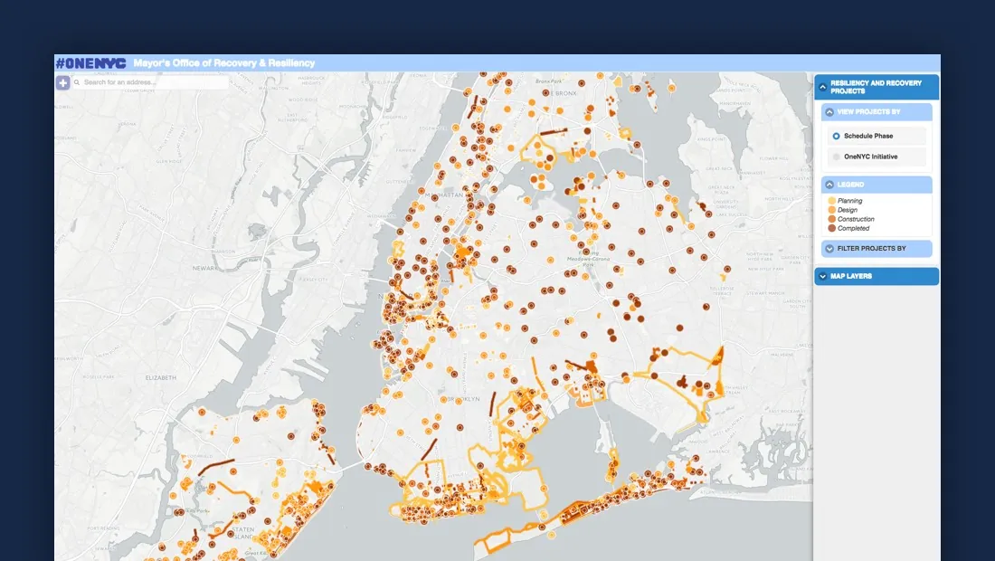
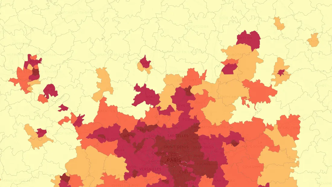
CARTO CARTO Contributors · Oct 3, 2016Hurricane Season 2016: Locating Resiliency in Sandy's AftermathCARTO aids NYC's Mayor's Office in tackling climate change, visualizing risks, and preventing disasters like Hurricane Sandy. Explore OneNYC's efforts.Use cases
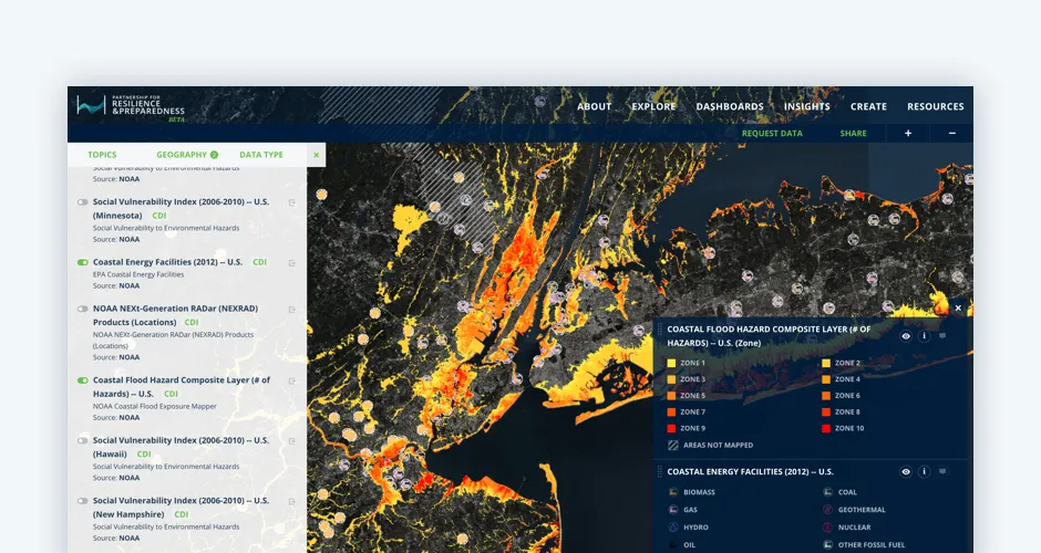
CARTO CARTO Contributors · Sep 27, 2016The Revolution will be Visualized: CARTO joins PREPDiscover CARTO's role in the Partnership for Resilience and Preparedness (PREP), empowering global climate resilience planning.Spatial Data
CARTO CARTO Contributors · Sep 20, 2016CARTO’s Open Data Week 2016 PreviewImmerse yourself in the world of Open Data at CARTO's Madrid event! Engage with global innovators, explore workshops, and join discussions.Events
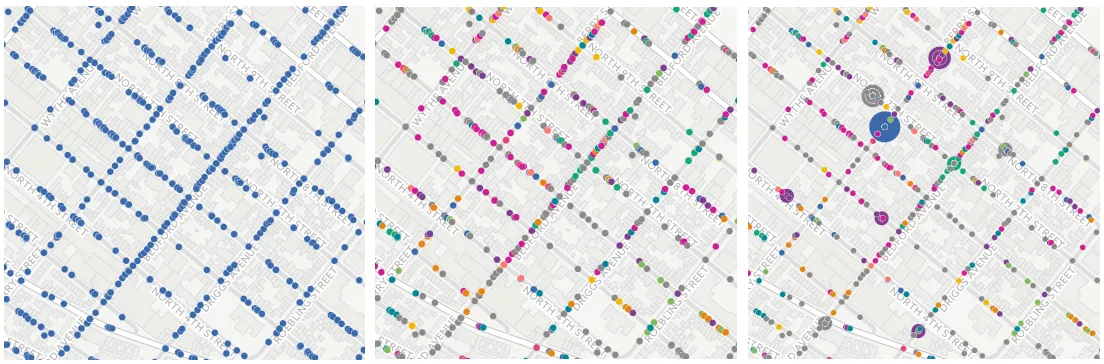
CARTO CARTO Contributors · Sep 13, 2016Geospatial Learning Across the Curriculum at NYUNYU collaborates with CARTO to enhance GIS learning, enabling students to utilize location intelligence across disciplines.
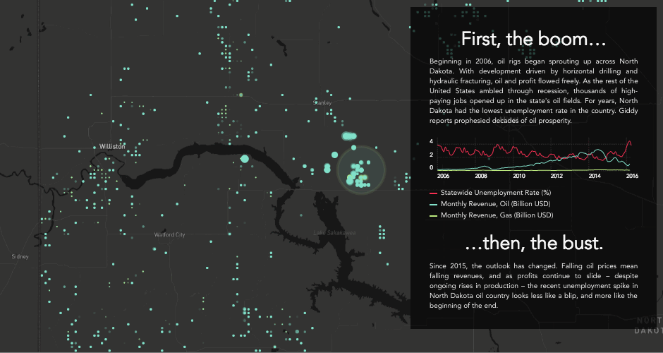
CARTO CARTO Contributors · Sep 7, 2016Boom or Bust! What Enigma’s newest project tells us about the economy of North DakotaExplore Enigma's Boom or Bust project, delving into North Dakota's economy using CARTO for compelling visual storytelling.Spatial Data
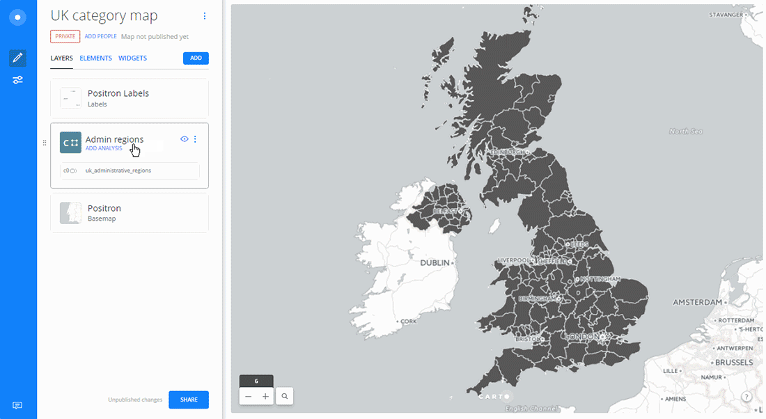
CARTO CARTO Contributors · Sep 6, 2016Creating Category Maps with CARTO BuilderLearn to create Data-Driven Maps with CARTO Builder! Color-code geospatial features by category effortlessly. Improve decision-making now!Spatial Analytics