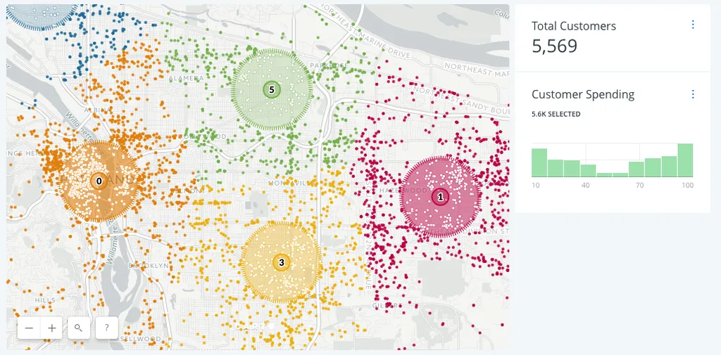
The most forward-thinking B2B sales and operations directors have started incorporating location intelligence into their sales territory management and defining sales territories differently from the rest.
Retail mergers and acquisitions are driving revenue increases, and in this post learn why retail analysts rely on Location Intelligence when making consolidation decisions.
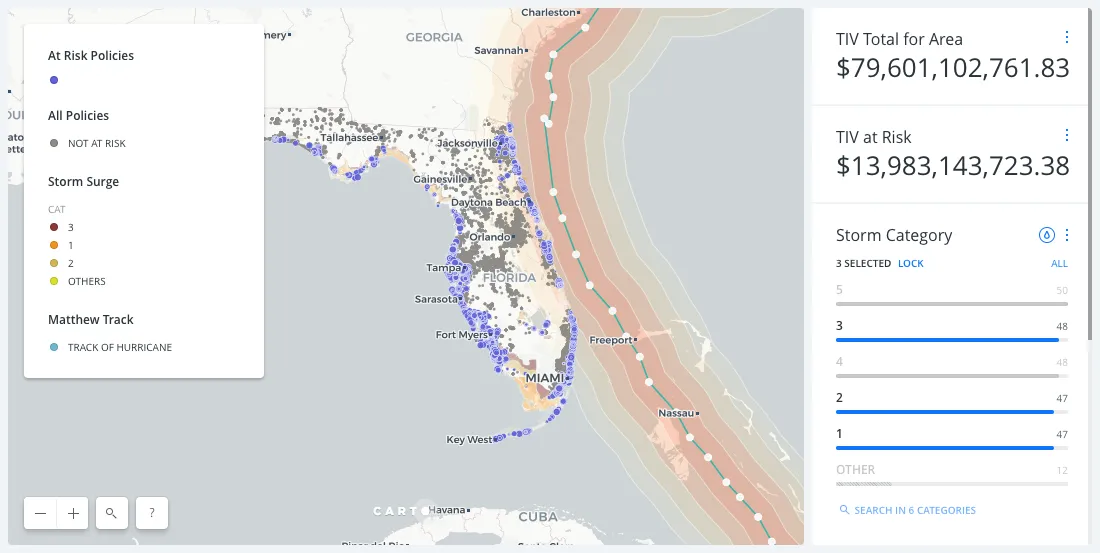
Embracing Location Intelligence can help insurers to reduce their exposure to risk, while preparing and offering policyholders better service and more varied plans that meet their needs.
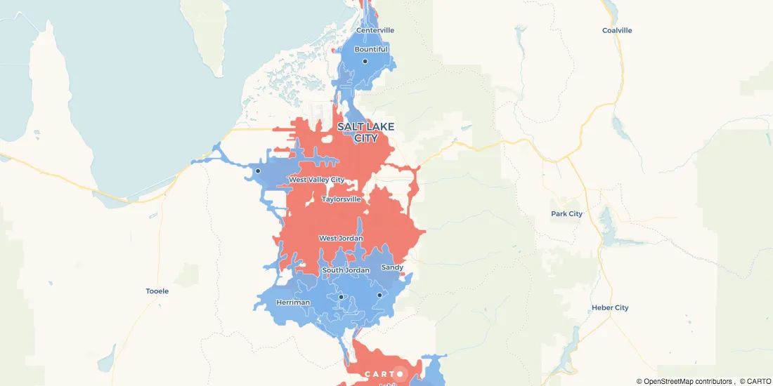
Cities, local governments, and entrepreneurs are working together, through hackathons and app challenges, to create successful businesses. We highlight 3 from Colorado's Go Code challenge.
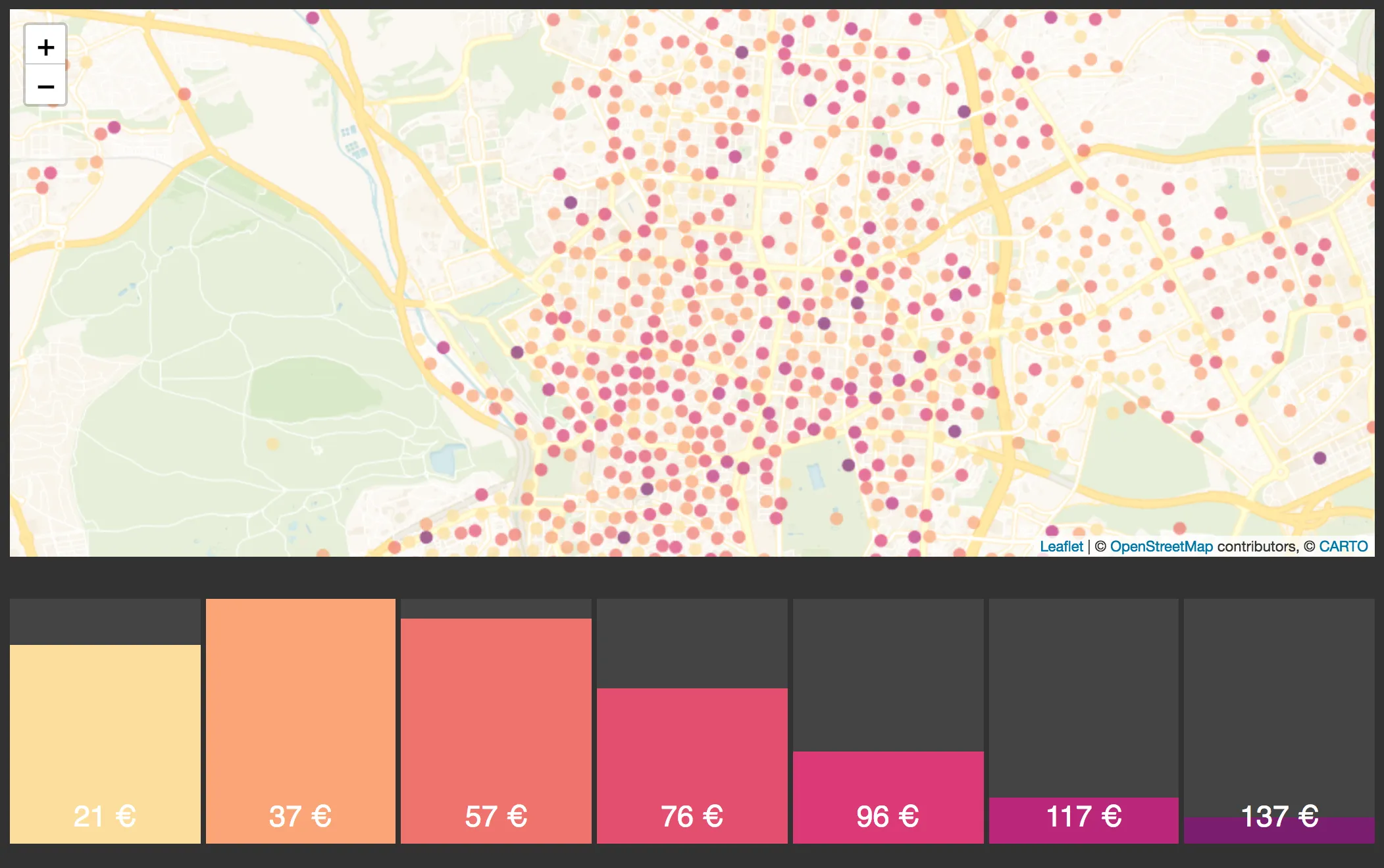
Using credit card data, one of the largest banks in Spain created an Urban Discovery tool that describes city dynamics and compares areas from different cities.