How to get your colleagues and clients excited about geospatial


A guide to getting your colleagues & clients excited about geospatial technology and spatial analysis, with practical tips and advice
One of the things that makes Location Intelligence so valuable is its cross-disciplinary nature. It connects teams, cuts across silos, and speaks to questions that almost every part of a business is already asking: where are our best customers? Where should we expand next? Where are we most exposed to risk?
Spatial really is a language everyone can speak. The challenge is that not everyone knows that yet.
Most geospatial professionals work embedded in wider organizations, across industries like telecoms, insurance, retail, and financial services. That means you're regularly collaborating with people who have no exposure to geospatial at all. And at some point, you'll need something from those people. More headcount. Better tools. A bigger role in the project. A budget sign-off.
Those conversations are harder when the person on the other side doesn't yet appreciate what geospatial can do. Here's a practical guide to changing that.
1. Focus on outcomes, not technology
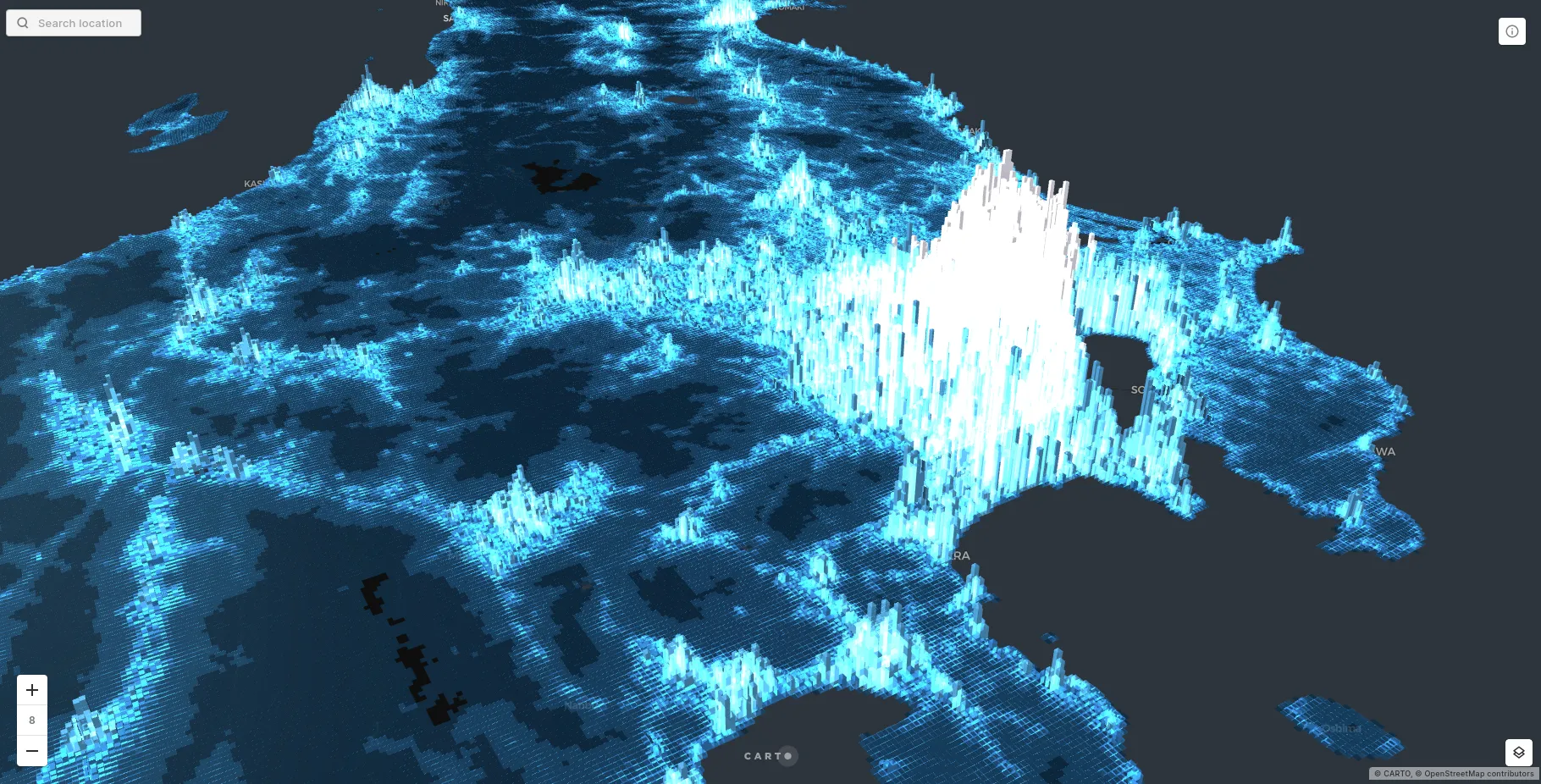
Let's be honest: geospatial professionals love the tech. A new spatial index, a satisfying clustering result, a map that finally renders at the right zoom level. For us, that stuff is genuinely exciting.
That excitement does not extend to everyone.
Your management chain is focused on business outcomes, not technical elegance. So lead with those.
Draw attention to the business value
First step, connect your work to the outcomes your management team is measured on. Faster processing times mean more work gets done. Migrating from a slow, legacy GIS setup to a cloud-native data warehouse isn't just a technical upgrade; it's a productivity argument. One global manufacturer reduced data engineering time by 80% and map creation time by 95% after moving to a modern geospatial stack. That's the kind of number that gets attention in a budget conversation.
But this is also a future-proofing argument. Teams still running spatial analysis on local GIS installs or static exports are increasingly unable to work at the pace, scale, or collaboration level that modern projects require. And it's a risk reduction argument: legacy GIS infrastructure creates fragile pipelines, vendor lock-in, and single points of failure that become harder and more expensive to maintain over time. The question to put to your management chain isn't just "what do we gain?" but "what are we exposed to if we don't modernize?"
If you're making the case for cloud migration, our guides on moving from PostgreSQL to Google BigQuery and Snowflake are a good starting point for building your argument.
Deliverable benefits
These conversations are about what geospatial helps the business do better.
Maybe it's a competitive edge: your competitors are working from basic demographic overlays, while you're analyzing behavioral insights, demographic predictions, and granular mobility signals that reveal patterns at a level of detail they simply can't access. Or maybe you're integrating near real-time data, like storm tracking or supply chain disruption signals, to make faster predictions than anyone working from static datasets.
Maybe it's a customer story: that one time you shipped an interactive dashboard instead of a static PDF, and the client actually used it to make a decision, rather than filing it away.
As always, numbers help. So do quotes. So do before-and-after comparisons. Come prepared.
2. The "anyone can do geospatial" argument just got stronger
A few years ago, making the case that geospatial was accessible to non-specialists meant pointing to better UI, lower-code tools, and drag-and-drop workflows. That was a legitimate argument then. Today, the argument is much stronger.
AI Agents in CARTO let users query spatial data and generate map layers in plain language. No SQL required. No GIS training required. A business analyst who wants to know which of their territories has the highest concentration of at-risk accounts can just ask. The same goes for a sales director who wants to see market coverage by urbanity level, or a planning team that wants to understand overlap between service areas.
See how Cotality uses CARTO's AI Agents to put predictive data in everyone's hands.
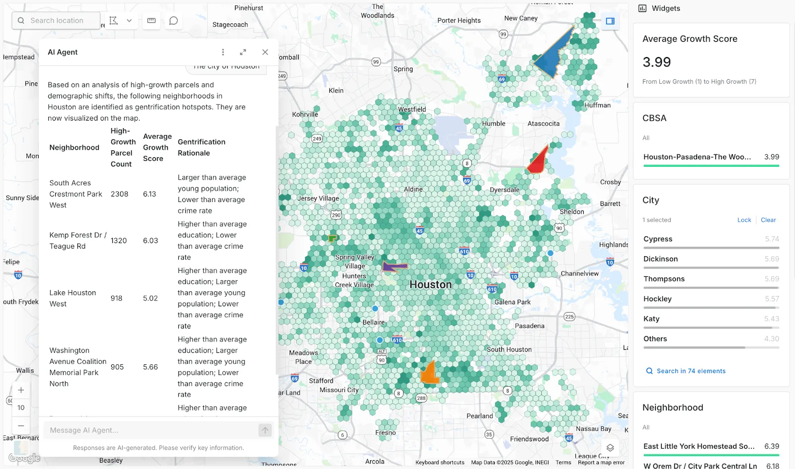
This matters for your internal advocacy because the old objection to expanding geospatial ("only specialists can use it") no longer holds. Modern tools like CARTO Builder and CARTO Workflows are built for data analysts and business users, not just GIS professionals. The more you can demonstrate that geospatial is now genuinely self-serve for non-technical colleagues, the easier it becomes to argue for broader adoption.
The user base for geospatial has already widened far beyond people with GIS in their job title: transport planners, ecologists, economists, marketing specialists, financial analysts. That trend continues. Getting ahead of it internally means your team is positioned as the group that makes spatial accessible across the organization, scaling geospatial expertise.
3. Leave the jargon at the door
The geospatial world runs on jargon. It has to because there are concepts and algorithms unique to spatial analysis that need precise names. But that precision creates a communication gap the moment you're talking to someone outside the field.
The fix is simple: translate everything into outcomes. Here are a few examples:
- Geographically Weighted Regression becomes "a tool that measures how the relationship between two variables changes from place to place."
- Tilesets becomes "a way of breaking large datasets into chunks so maps load quickly."
- Isochrones becomes "drive-time or walk-time catchment areas."
- AI Agents become "a way for anyone across the organization to ask questions about location data in plain English."
A few rules that help:
- Use examples to illustrate every concept you introduce.
- Never assume that because you explained something once, it stuck.
- If you're not sure whether someone will understand a term, assume they won't (or just ask).
- And the golden rule: DNUA. Do Not Use Acronyms.
4. Become your own internal marketeer
The most effective geospatial advocates don't wait for permission to promote their work. They create the moments. A few approaches that consistently work:
Run internal showcases
A 30-minute lunch session where you walk through a recent project, with a live map, is worth ten slide decks. Hackathons work especially well for getting skeptical colleagues hands-on.
Get into induction programmes
New starters are forming their view of what the organization can do. Getting geospatial in front of them early shapes how they think about data and analysis from day one.
Look for external speaking opportunities
You don't need to be at a GIS conference to talk about geospatial. If your company is presenting at an industry event, there's almost always a spatial angle to the story.
Work with marketing
Your company's website probably has a location story to tell. Help them tell it. Case studies, social posts, and even a well-placed map on the homepage can shift how the business thinks about spatial.
Show, don't just tell
Is a colleague putting together a quarterly report with a stock photo where a map should be? Offer to build it. Does the company website need a locations map? Build it. Small, visible wins accumulate.
And throughout all of it: outcomes, not tech.
5. Use the resources that already exist
You don't have to build every argument from scratch. CARTO's Customer Stories page has concrete examples of how organizations across telecoms, insurance, retail, financial services, and more are using Location Intelligence to make better decisions. These are useful to share with colleagues who respond to "how is this being used in the industry?" more than technical explanations.
For building the internal case with numbers, The State of Spatial Analytics 2026 is a solid source of industry-level data on where geospatial is heading and why organizations are investing in it.
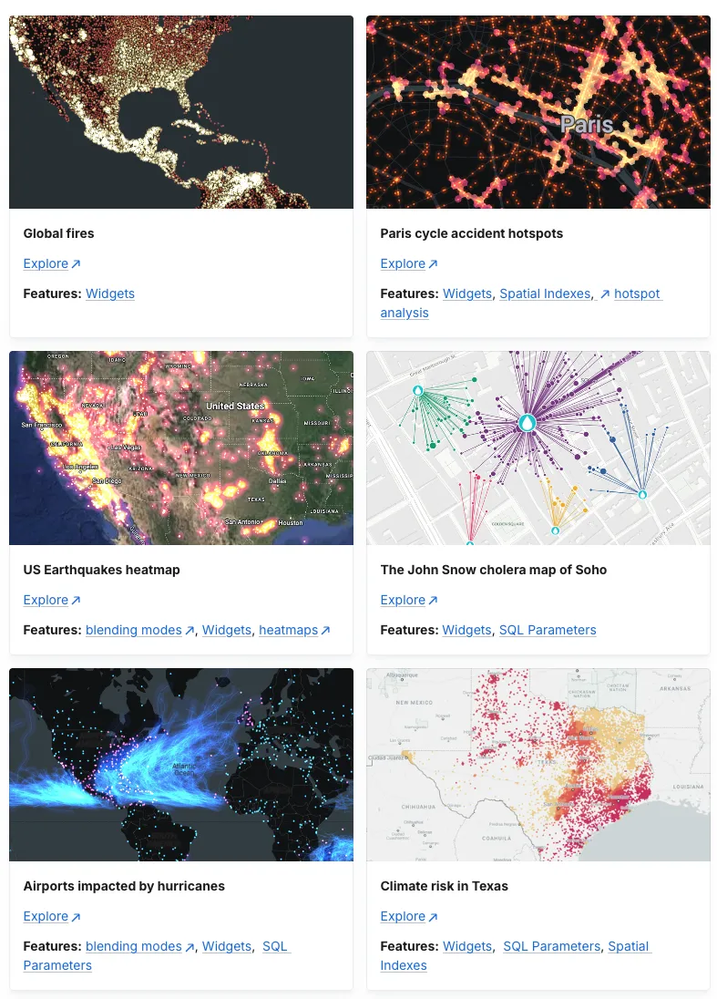
And if you want to show colleagues what modern geospatial tooling actually looks like in practice, the CARTO Map Gallery has real interactive examples built on the current platform.
Make geospatial everyone's problem (in the best way)
The teams that are most successful at expanding geospatial within their organizations tend to share one trait: they make it easy for people who aren't spatial specialists to get value from spatial data. They build accessible maps. They share interactive dashboards instead of PDF exports. They translate their analysis into language that lands with the audience in front of them. It's a holistic approach that requires connecting the spatial work with the expected outcomes and with the business strategy.
The tools to do that have never been better. If you want to see what that looks like in practice with your own data, we're happy to walk through it.
Editor's note: This post was originally published in January 2023 and has been completely revamped and updated for accuracy and comprehensiveness.