Reinforcement Geography: Highlights from #SDSC26 New York


- AI agents are no longer a pilot. Werner, JPMorganChase, and Geotab showed agents doing real spatial work today.
- CARTO introduced App Studio: describe the spatial app you need, and publish it on your own governed data.
- Embeddings are becoming a shared language for every place on Earth.
- The big idea: Reinforcement Geography, spatial systems that learn from every decision.
- Watch every talk on demand →
On October 21, more than 450 data scientists, GIS professionals, and developers met on Broadway for The Spatial Data Science Conference 2026 New York to work out what happens to geography when AI stops assisting and starts actually doing.
A year ago, the question was whether AI agents belonged in GIS. At #SDSC26 New York, nobody asked. The conversation had moved on to what agents should be trusted with, how to keep their answers honest, and how fast spatial systems can learn once the loop is closed.
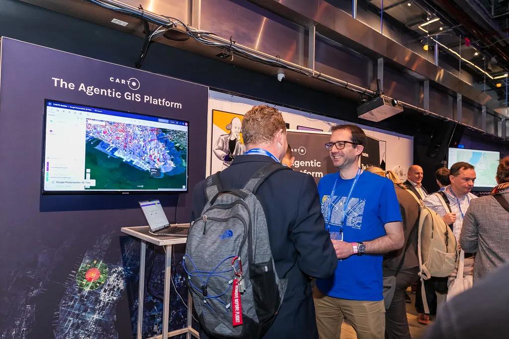
Attendees exploring the Agentic GIS Platform at the CARTO demo stations
The loop is closing
Most spatial decisions are one-shot bets. You choose a site, a route, or a territory, then wait months to find out whether you were right, and by then the world has moved on. The analysis rarely learns from the outcome.
That’s changing. Fleets report every stop, sensors stream every hour, and agents can now act on that data, check what happened, and adjust. Each decision makes the next one smarter. Javier de la Torre, Founder and CEO of CARTO, called this Reinforcement Geography, and his keynote walked through the building blocks:
- A platform agents can drive. With CARTO for Agents, everything you can do in CARTO, an agent can also do through the CLI, the MCP Server, and Agent Skills.
- Apps with a governed home. AI makes building an app easy, but it then often sits on a laptop waiting for IT to host and secure it. Hosted Apps deploys it in one command, behind the login, permissions, and audit trail your organization already trusts.
- Apps for everyone. App Studio gives analysts that power without needing a terminal. You describe the app, pick the data and a house style, and refine it in conversation.
- Data that agents can find. Portolan is an open specification for publishing geospatial data in a form AI agents can discover and query directly, with no searching, downloading, or stitching. CARTO Spatial Data Infrastructure (SDI) builds on it, giving publishers control over who accesses their data and feedback when agents spot errors.
Javier de la Torre introducing Hosted Apps and App Studio in his #SDSC26 New York keynote
"Instead of the user having to adapt to our GIS systems, our GIS systems adapt to the user."
— Javier de la Torre, CARTO
Watch the full keynote on demand →
Agents are already on the job
A common concern about AI in GIS is that it has little real-world use. The talks in New York showed how far that is from the truth, with one example after another of agents running in production.
Werner Enterprises runs CARTO Builder, Workflows, and AI Agents on live telematics from 50,000+ tractors and trailers, so a driver can ask for the nearest approved fuel stop on their route. At JPMorganChase, David S. Jordan is putting branch analysis in the hands of every analyst. A spatially correct answer in seconds is now “a normal Wednesday.”
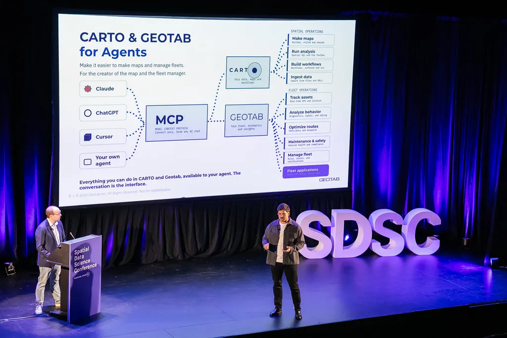
Geotab's Felipe Hoffa and Jorge Gonzalez on combining the Geotab and CARTO MCP servers
Meanwhile Geotab’s Felipe Hoffa and Jorge Gonzalez are combining the Geotab and CARTO MCP servers so that a fleet manager can go from “where do my vehicles stop?” to “where should my next depot be?” without writing a line of SQL. So what does this mean for the role of the GIS analyst? As Felipe puts it: “We have to become the experts who drive the experts.”
Trust lives in the method
The simpler AI makes getting an answer, the more the method underneath matters.
Tyler Kappen of billups rebuilds billboard audiences from mobile data that may capture just 5% of a journey. The media planner sees a simple map they can read in seconds, but every assumption behind it is recorded and can be checked. His rule: “Hide the method, but never lose it.”
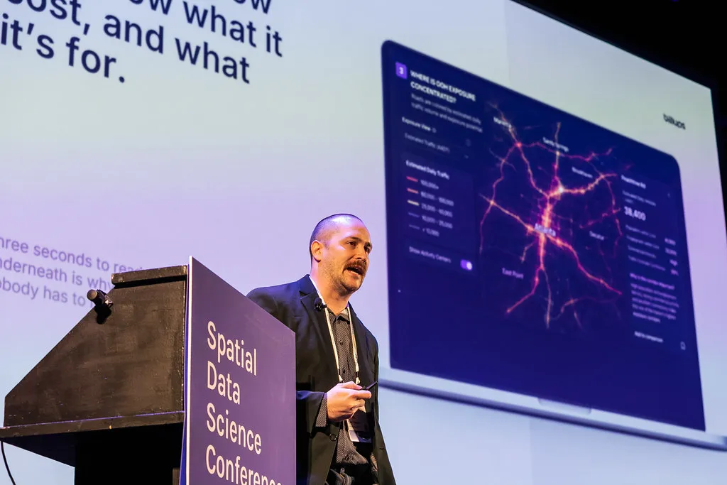
Tyler Kappen of billups on rebuilding billboard audiences from mobile data
Tony Gordon Jr of Snowflake made the same case with a solar farm site search, built once as a reusable workflow running on Snowflake with CARTO. Anyone can rerun it, change the thresholds, and see exactly why a parcel passed or failed.
If an AI answer can’t be traced back to a method someone can check, it won’t survive its first tough question from a decision-maker.
A new language for places
Most spatial analysis starts with the same question: what is this place like? Answering it used to mean weeks of gathering and cleaning data. Embeddings are changing that.
PlacePulse, presented by CARTO’s Miguel Álvarez, condenses 2,000+ variables into a single fingerprint for every neighborhood in the US. Google’s Maya Patel and Gautam Prasad showed Population Dynamics embeddings uncovering under-vaccinated pockets that matched real measles outbreaks. In a CARTO test, the same embeddings made sales predictions 24% more accurate.
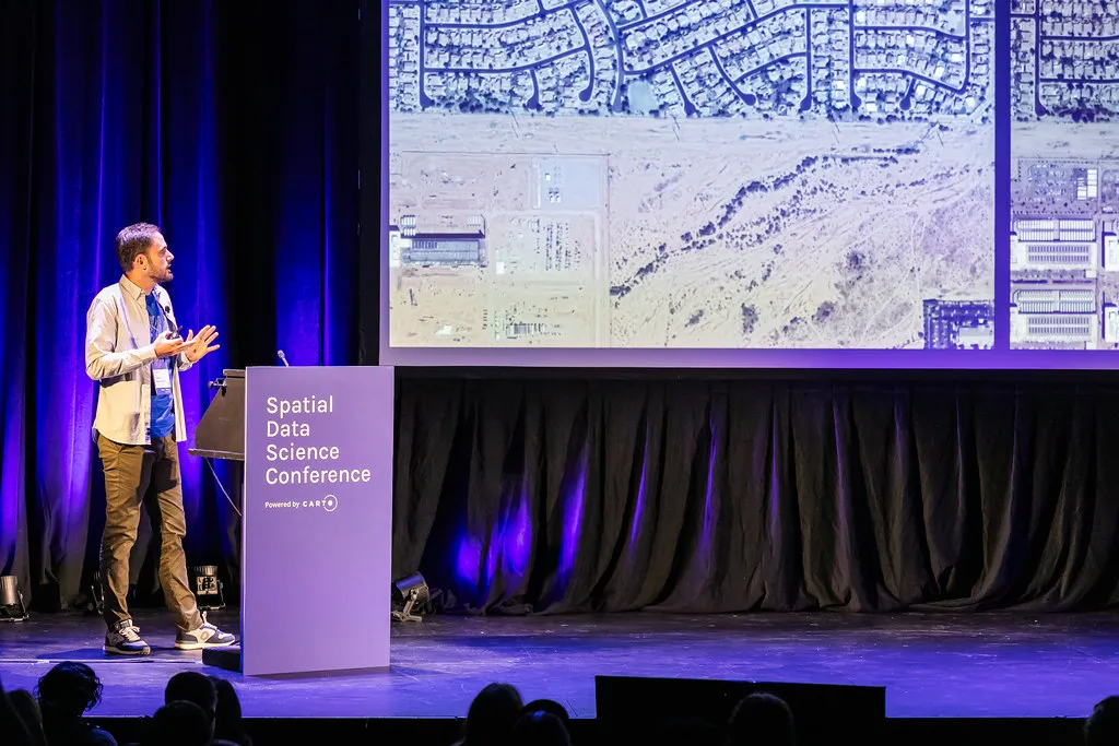
Embeddings turning satellite imagery into a fingerprint for every place
At the US Census Bureau, Elvis Martinez is using satellite change detection and AlphaEarth embeddings to prepare for the 2030 Census. “GeoAI is helping us determine where we need to look.”
When every place has a ready-made fingerprint, analysts spend less time preparing data and more time on the questions that matter.
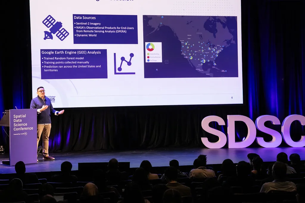
Elvis Martinez of the US Census Bureau on preparing for the 2030 Census with GeoAI
Averages are lying to you
Regional and city-wide averages are how most decisions get made, and they hide the places where risk and opportunity actually sit.
New York’s median household income is about $100,000. Incomes on the Upper East Side are four times those in East Harlem, a few blocks north. Anthony Bernard-Sasges of Oxford Economics builds hyperlocal forecasts because city averages hide exactly what businesses need to know.
Gillian Mollod of Intercontinental Exchange showed that climate risk works the same way: one in eight US properties faces at least a 1% annual flood risk, and two in three of the mortgaged homes at risk have no flood insurance. “The financial stress of individual homeowners ripples up through the entire mortgage and housing ecosystem.”
The lesson for anyone making location decisions: if your data stops at city or county level, you’re likely missing both the risk and the opportunity.
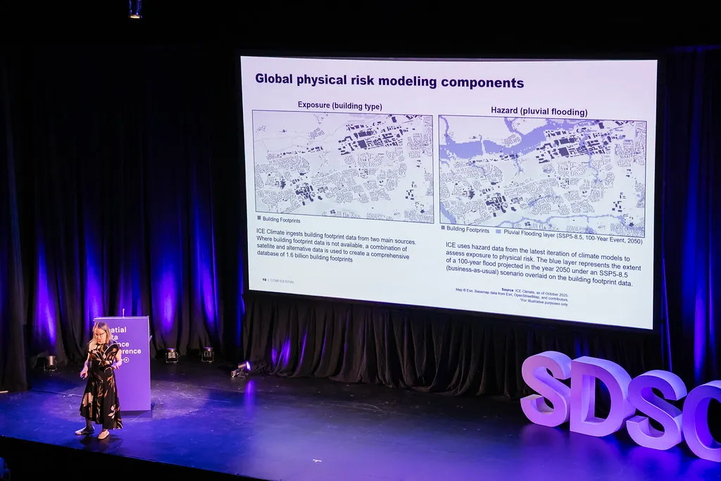
Gillian Mollod of Intercontinental Exchange on property-level flood risk
The end of the request treadmill
For years, every spatial question had to go through a specialist, and the specialists became the bottleneck.
At Working America, CIO Angela Ashe called it “the request treadmill.” With its data rebuilt on Google Cloud and CARTO on top, organizers now plan their own canvassing turf in under a minute, a job that used to take days. “We truly are at a place where we can replace tables with maps.”
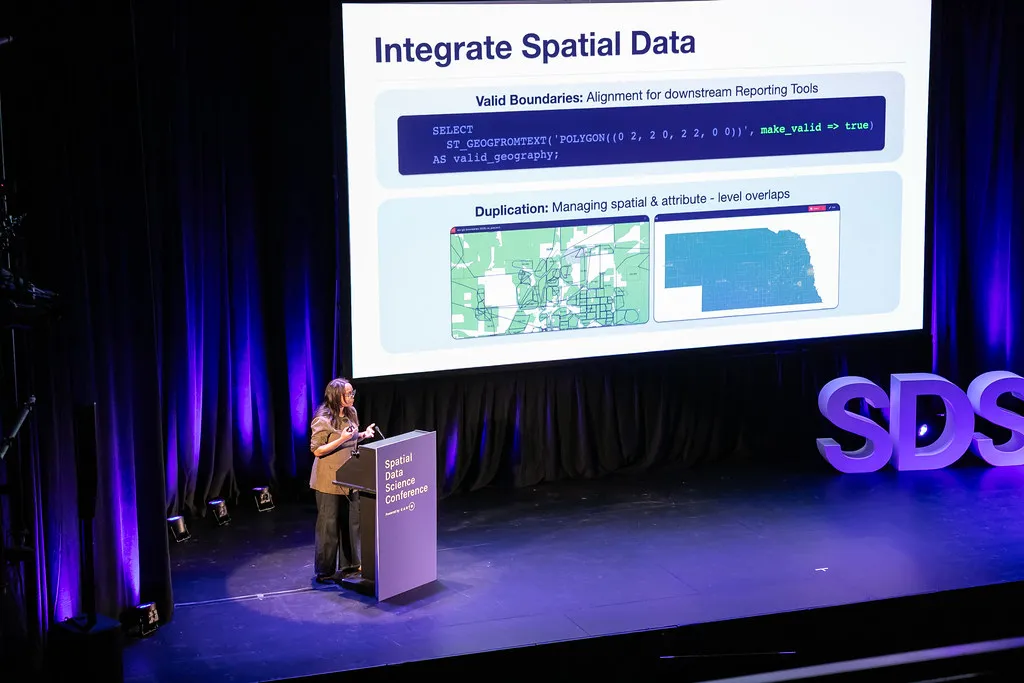
Angela Ashe of Working America on ending the request treadmill
Oracle’s Siva Ravada asked the question behind it all: “Do the agents have to be spatial experts to make spatial decisions?” His answer is to give the agents organizations already use a sense of place, including a memory of every decision made at a location before.
Specialists don’t disappear. They stop answering the same question for the tenth time and start building the methods everyone else relies on.
Hands-on: the workshops day
The day before, attendees went hands-on in 12 workshops with Snowflake, Databricks, Oracle, Google, Cotality, AGS, and LGND. Topics ranged from building spatial apps with CARTO for Agents to insurance risk and PlacePulse in practice. One workshop even fed the keynote: Javier built one of his demo apps from the data in Oracle’s network risk session.
A huge thank you to our sponsors Snowflake, Oracle, Google Cloud, Cotality, AGS, and TomTom, and to Databricks and LGND for leading workshops.
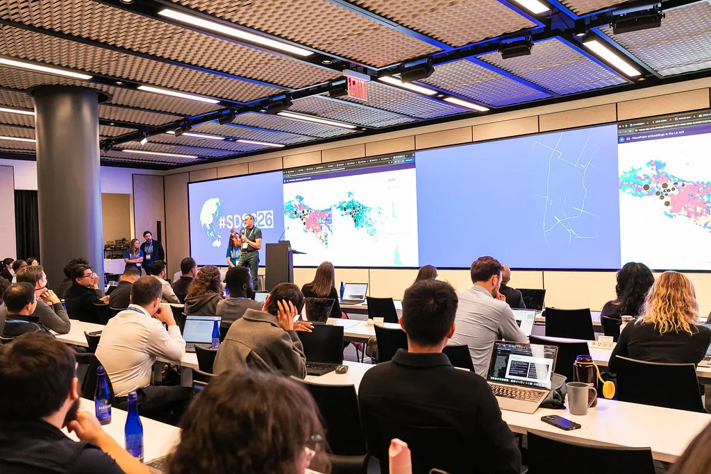
Attendees getting hands-on during the workshops day
Looking ahead
New York showed the loop starting to close. Agents are doing real work, the methods behind them can be checked, embeddings describe places in a common language, and governed data is reaching everyone who needs it. Geography’s feedback loops have always been slow. For the first time, they’re getting faster, and the people in that room are the ones speeding them up.
Missed a session, or want to see a demo again? Watch every #SDSC26 New York talk on demand →
Across the pond? The countdown to SDSC 2027 London begins now. Register for updates.
Frequently Asked Questions
What is Reinforcement Geography?
Reinforcement Geography is the idea, introduced by CARTO Founder and CEO Javier de la Torre at SDSC26 New York, that spatial systems can learn from every decision they make. Instead of one-shot bets on a site, route or territory, agents act on streaming data from fleets and sensors, check what happened, and adjust, so each decision makes the next one better.
What did CARTO announce at SDSC26 New York?
CARTO introduced Hosted Apps, which deploys a spatial app in one command behind your organization’s existing login, permissions and audit trail, and App Studio, which lets analysts describe an app, pick the data and a house style, and refine it in conversation without a terminal. The keynote also covered CARTO for Agents and Portolan, an open specification for publishing geospatial data that AI agents can discover and query directly.
Which organizations are using AI agents for spatial work in production?
At SDSC26 New York, Werner Enterprises showed CARTO Builder, Workflows and AI Agents running on live telematics from more than 50,000 tractors and trailers. JPMorganChase described putting branch analysis in the hands of every analyst, and Geotab showed its MCP server working with CARTO’s so fleet managers can plan depots without writing SQL.
Can I watch the SDSC26 New York talks on demand?
Every talk from the Spatial Data Science Conference 2026 New York, including the keynote, is available on demand on the conference website.