Get started with spatial at the Spatial Data Science Bootcamps


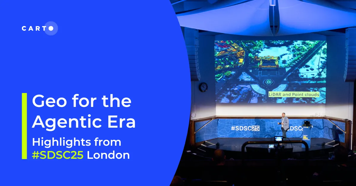
The Spatial Data Science Conference events are back!
After the success of our sell-out Spatial Data Science Conferences in London & NYC - and the growing popularity of our technical workshops - we have created a brand-new event concept: Spatial Data Science Bootcamps. These are a series of 1-day intensive courses designed to equip Data Scientist & Analysts with the geospatial skills and knowledge to apply in their day-to-day work.
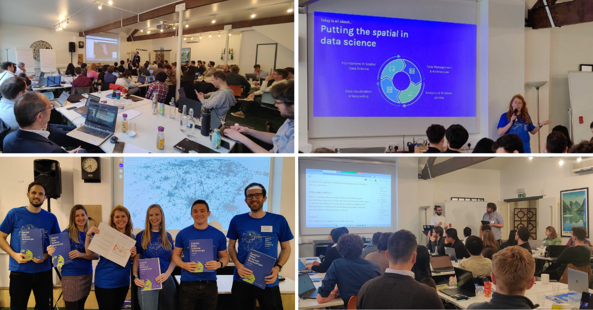
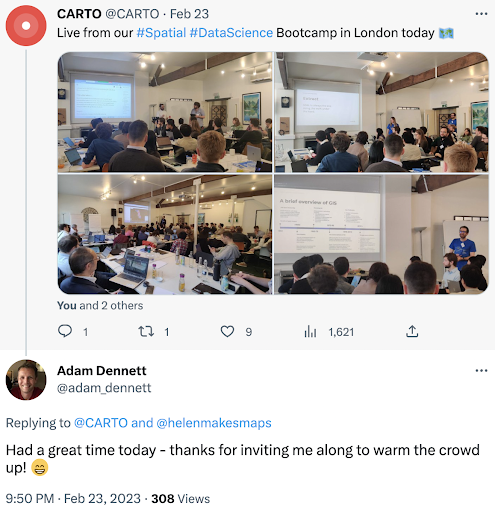
Photos from the day, including a session from our guest speakers Dani Arribas-Bel, Geographic Data Science Professor at the University of Liverpool & Levi John Wolf, Senior Lecturer in Quantitative Human Geography at the University of Bristol.
Based in the US and couldn’t make it? Fear not, as our NYC edition of the SDS Bootcamp is coming up on March 23rd!
Spatial Data Science: a skills gap
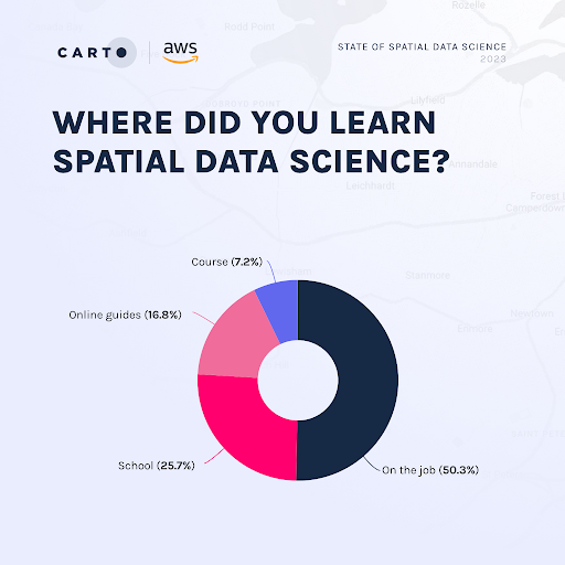
Each year, CARTO commissions a State of Spatial Data Science report to understand the tools, methodologies and datasets used for GIS and Data Science across different organizations. This year we teamed up with AWS and asked hundreds of enterprise-level leaders from across the globe to participate.
Our key findings were that only 50% of participants had received any formal training, and only 30% of participants had Data Science teams with significant spatial analysis experience. This means there’s a real need for learning opportunities in the geospatial space.
Hosting this bootcamp was a great opportunity to gather the Spatial Data Science community in an educational environment, with lots of knowledge sharing, networking and collaboration amongst the Data Scientists & Analysts attending.
What did we learn about?
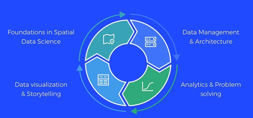
In partnership with PySAL, we hosted the event at Wallaspace, St Pancras in Central London. The day was led by 7 experts from across the geospatial industry & academia, with a total of 47 attendees. Interactive sessions covered topics ranging from foundations in Spatial Data Science to Data Architecture, Python workshops to Data Storytelling.
This first event was a huge success and we’d like to thank PySAL and our hosts for their time & support! If you’re interested in presenting at future SDSC events, you’re in luck! Send us your proposal to speak at our Spatial Data Science Conference in London, May 18th, and we’ll be in touch.
What are some key takeaways from the day?
- Spatial is special. To be able to effectively analyze spatial data, you need to have a solid foundational understanding of spatial, such as coordinate systems, Tobler’s Laws and the Modifiable Areal Unit Problem.
- In some ways, spatial is also - to completely contradict point 1 - not special. All of the tools and tech you need to analyze spatial data are familiar within the modern tech stack; they will often just have spatial extensions.
- John Snow - one of the famous spatial analysis trailblazers - will be mentioned at every Spatial Data event. This time, he was mentioned 28 minutes after the event started 😄.
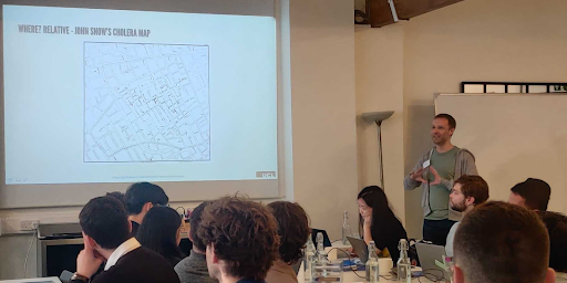
Pictured: Adam Dennett, Professor of Urban Analytics and Head of Department at the Bartlett Centre for Advanced Spatial Analysis, University College London.
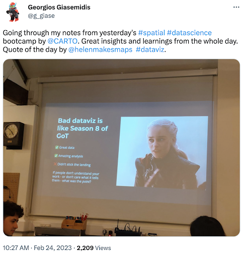
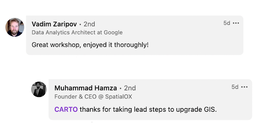
What were attendees saying?
Don’t just take it from us, here’s what a few of our attendees had to say about the event:
Keen to start your spatial data science journey?
With a successful start to this year’s #SDSC events, we look forward to our New York edition of the Spatial Data Science Bootcamp. Come join us in NYC on March 23rd for the next interactive , bootcamps, where we’ll be joined by experts from CARTO and beyond - sign up here!
#SDSC23
We are also excited to welcome you all back to London on May, 17th & 18th for this year’s Spatial Data Science Conference - get your ticket here! Make sure to follow our LinkedIn&Twitter for regular event updates!
Can’t wait until March 23rd to try CARTO? Sign up here for your free 2-week trial.