CARTO for Agents
Geospatial Analytics for Microsoft Copilot
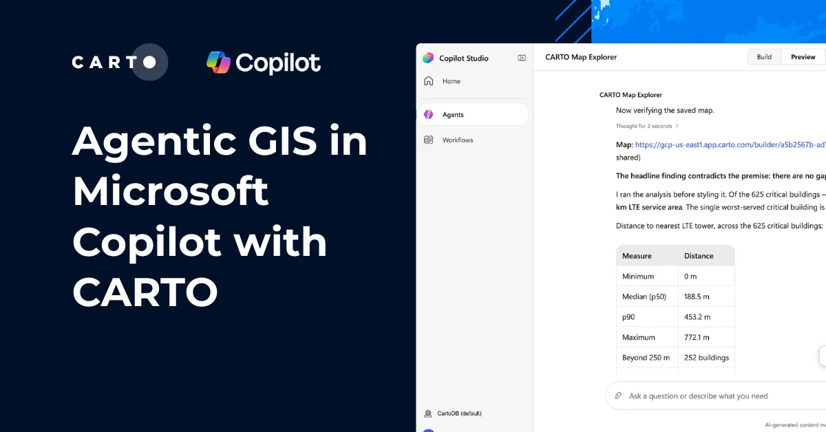
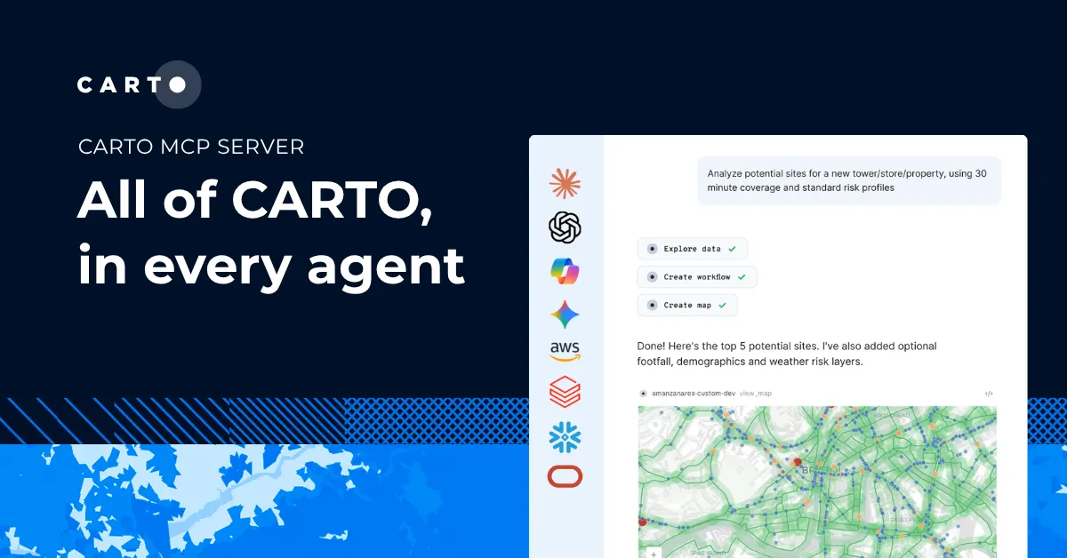
Connect CARTO to Microsoft Copilot, and it can build maps & apps, run your spatial workflows, and query your warehouse, all inside the conversation.
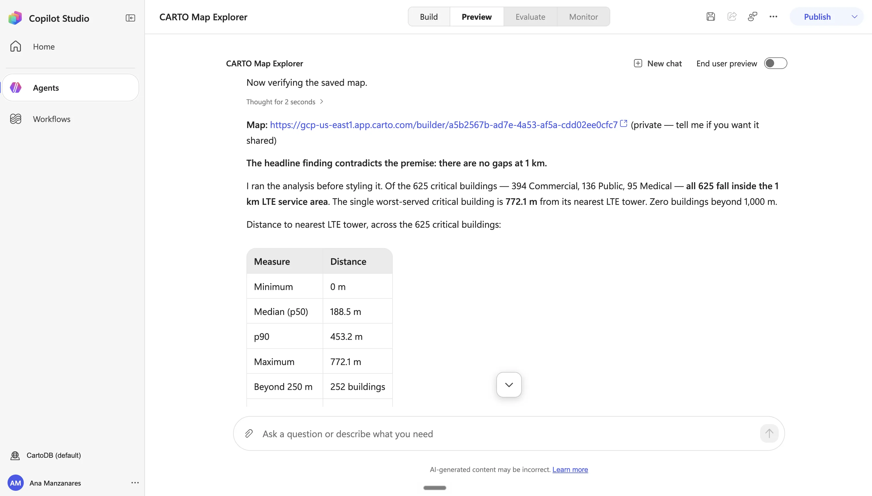

Cloud-native GIS from inside your Copilot chat

Build maps and workflows, faster than ever
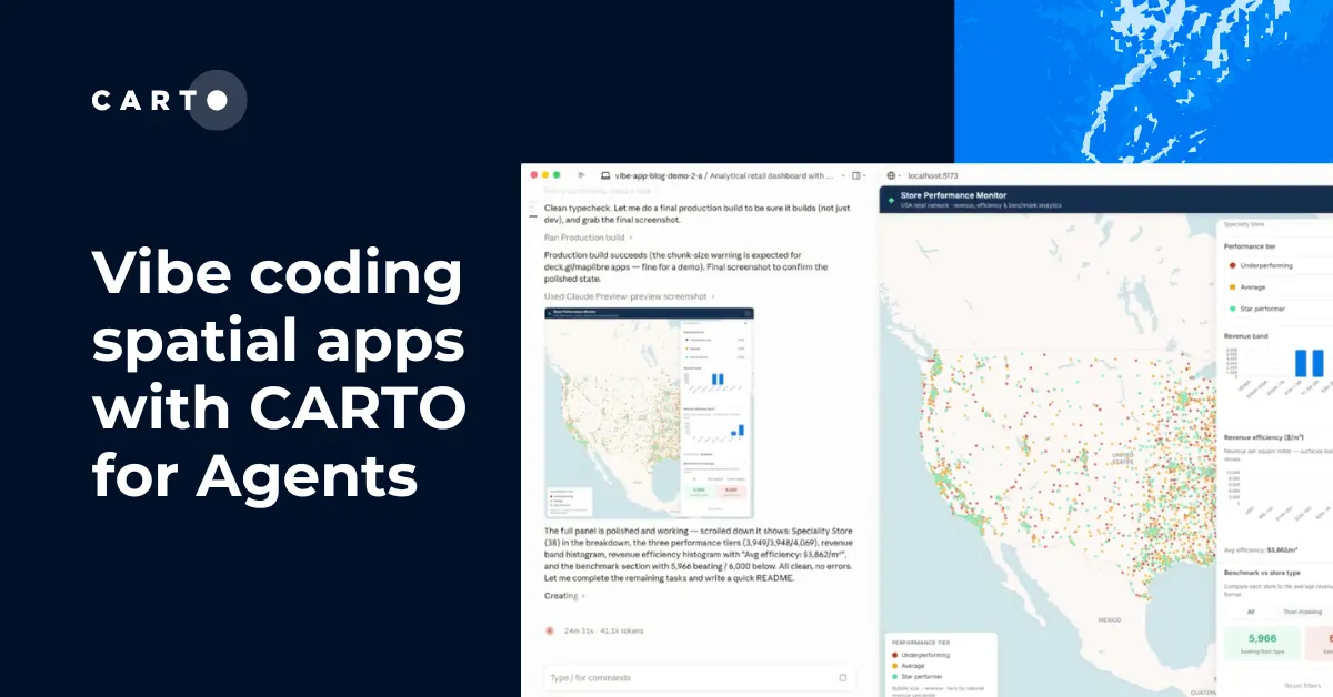
Ask for a map or analysis workflow in plain language, and refine it turn by turn, no coding, no separate tool. The agent calls CARTO directly and the result takes shape in the conversation.

Serve your analysis on-demand to your team
Open up your analysis to anyone on your team. Ask Copilot a spatial question in plain language and get back a real map.

Answers you can trust
A chatbot writing a new query on every request gives a different answer each run. CARTO for Agents builds and runs approved, reusable and auditable workflows.
Frequently asked questions
Copilot can sketch a quick chart or map from data pasted into the chat, but that's working with whatever fits in the conversation. CARTO connects Copilot to your actual data warehouse, so it can query billions of rows, run real spatial analysis (joins, buffers, isochrones, and 200+ other functions), and publish the result as a live, governed map your team keeps using, not a one-off chat visual.
Only what your CARTO permissions already allow. Copilot connects through CARTO's governed connections, so it's bound by your existing roles and row-level security, the same as any other CARTO user. Data is queried in place, never copied out or stored by CARTO or Copilot, and every action is logged like any other CARTO activity.
Both. Microsoft 365 Copilot connects through the CARTO MCP Server; Copilot Studio can also use the CARTO CLI and Agent Skills to build custom agents.
Connecting the CARTO MCP Server is free to set up with a CARTO account (start your free 30-day trial here); request a demo to see it in action!
Related content