Looking for an alternative to Heavy.ai?
CARTO is the leading Location Intelligence & GIS platform for cloud natives. See why modern analytics professionals are making the switch.
Try for free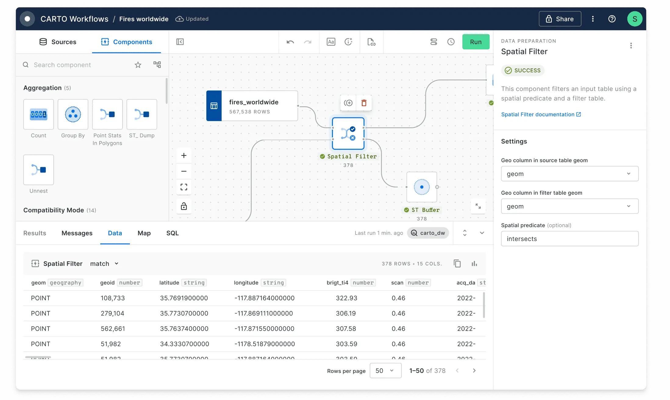
Why is CARTO the best Location Intelligence platform?

CARTO vs Heavy.ai at a glance
The cloud-native Location Intelligence platform for teams of all sizes.
General and geospatial analytics using GPU accelerated technologies
CARTO
Direct cloud connections with no limitations on multiple data warehouses and databases. All queries are run natively on the data warehouse and no data is stored in CARTO.
Alteryx
Data is stored in the GPU powered database. Connection service to data sources via foreign data wrappers, foreign tables, and foreign servers. Data is replicated in HeavyDB.
CARTO
CARTO Data Observatory provides over 12,000 public and premium datasets from a variety of vetted data providers.
Alteryx
No data offering.
CARTO
Analysis is run natively using Spatial SQL directly in the cloud data warehouse environment.
Alteryx
Analysis via SQL statements against the HeavyDB proprietary database.
CARTO
Create cached map tiles using native data warehouse connections in SQL or in the CARTO Workspace UI. Render tiles on the fly within CARTO Builder. Vector tile support and no server callback.
Alteryx
Render tiles using GPU services in Heavy Render. Currently supports raster tiles only. All renders require a callback to the rendering service.
CARTO
Complete enrichment support for all 12,000+ datasets in the CARTO Data Observatory, including area weighted interpolation.
Alteryx
Not available.
CARTO
Fully cloud-native with serverless connections and deployment.
Alteryx
Not cloud-native. Uses a GPU accelerated database hosted within cloud services.
CARTO
SaaS cloud hosted or a self-hosted option deployed with Docker Compose or Kubernetes.
Alteryx
Deployments in CentOS, Docker, and Ubuntu. Pre-built versions in AWS, GCP, and Azure.
CARTO
Data is not stored in CARTO, only returned via API. Flexible enterprise pricing plans, with all inclusive pricing.
Alteryx
Data must be stored in the HeavyDB to use Heavy.AI.
CARTO
Single API layer used in all platform products.
Alteryx
No API offering. Some Command Line Interface tools.
CARTO
CARTO uses and contributes to open source libraries such as Deck GL, React, Geoparquet…
Alteryx
Open source version is available with some constraints.
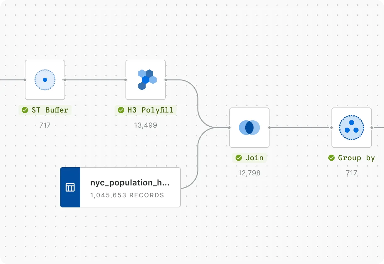
Rapidly carry out spatial analysis
Data Analysts starting out in location analytics or Data Scientists creating machine-learning models can use the CARTO platform to speed up insight generation. Workflows let you design, execute and automate analytics using a visual, no-code tool. Run advanced cloud-native analysis with our comprehensive Analytics Toolbox.
Easily connect your spatial data
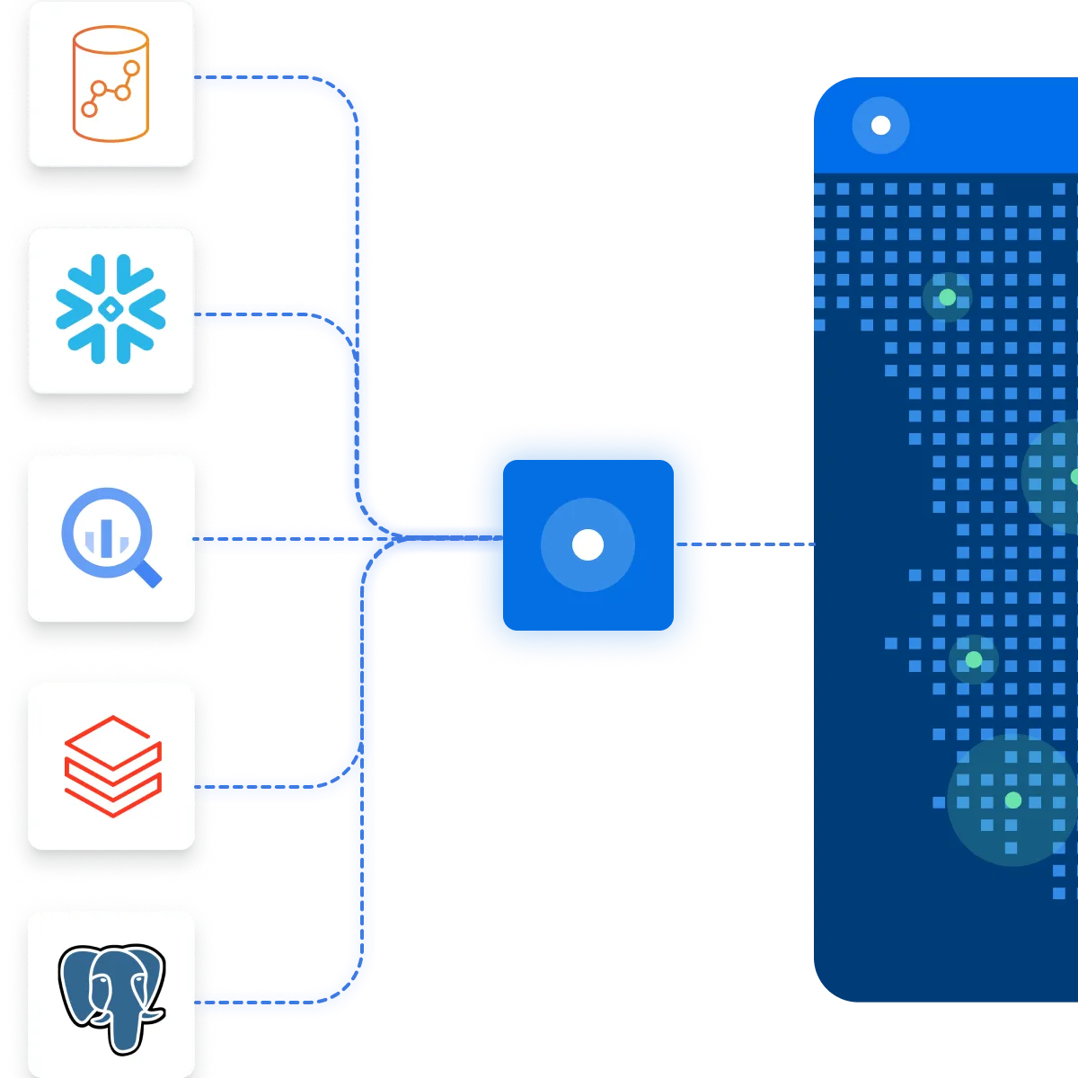
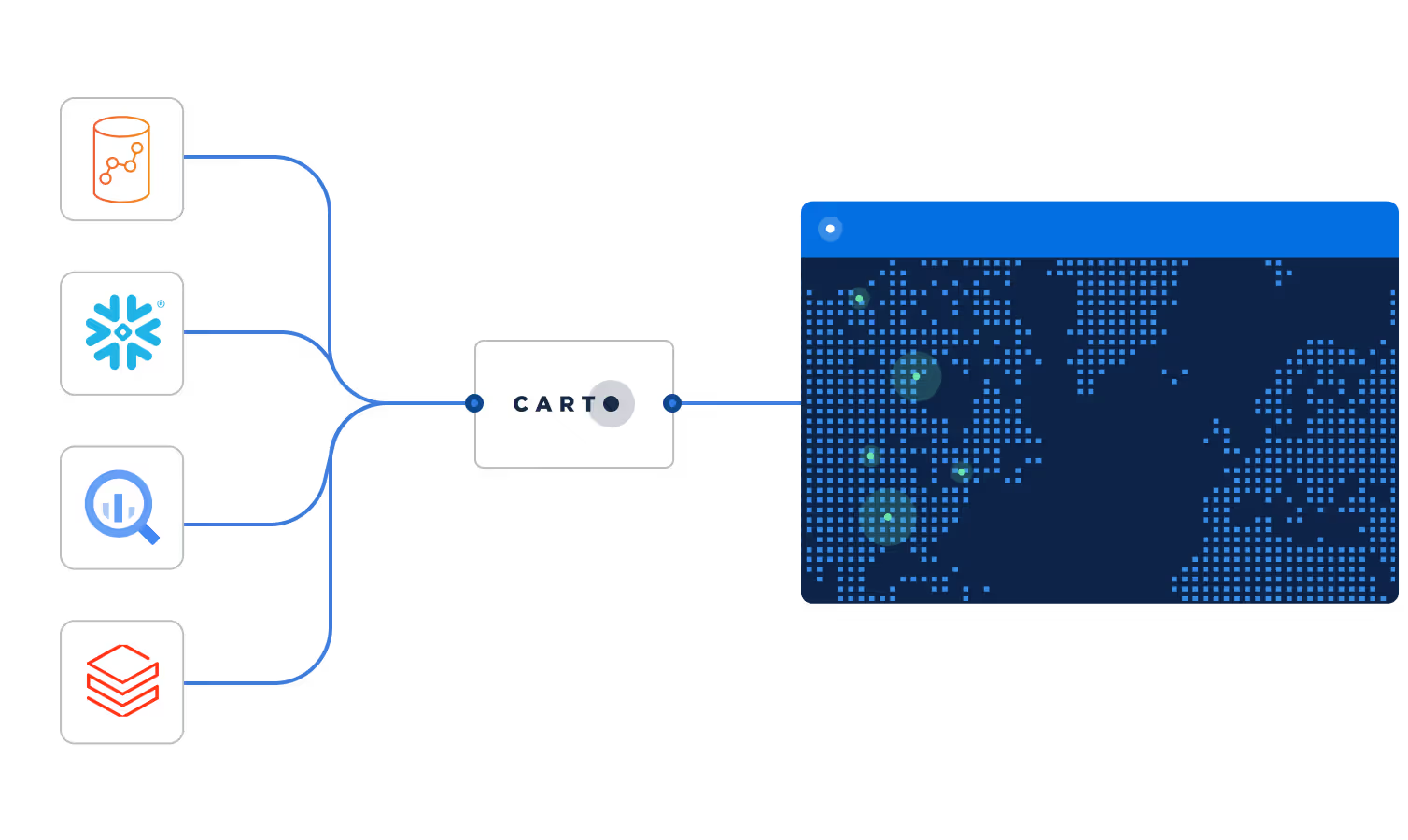
CARTO integrates natively with the leading cloud data platforms and analytics tools, including Google BigQuery, Snowflake, Amazon Redshift and Databricks.
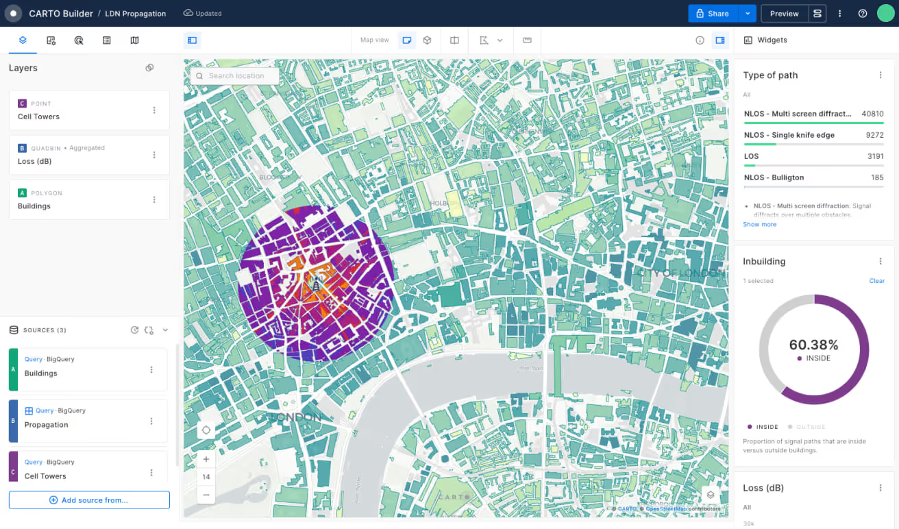
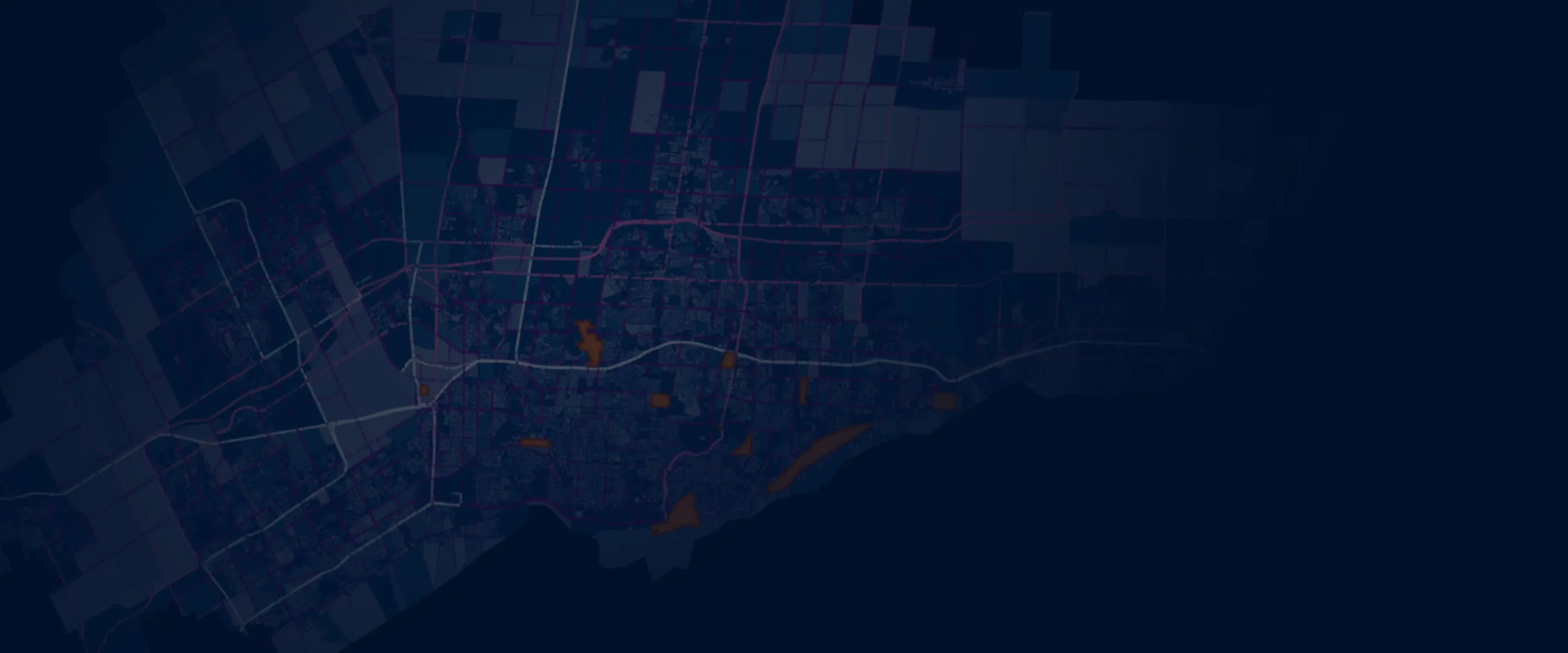
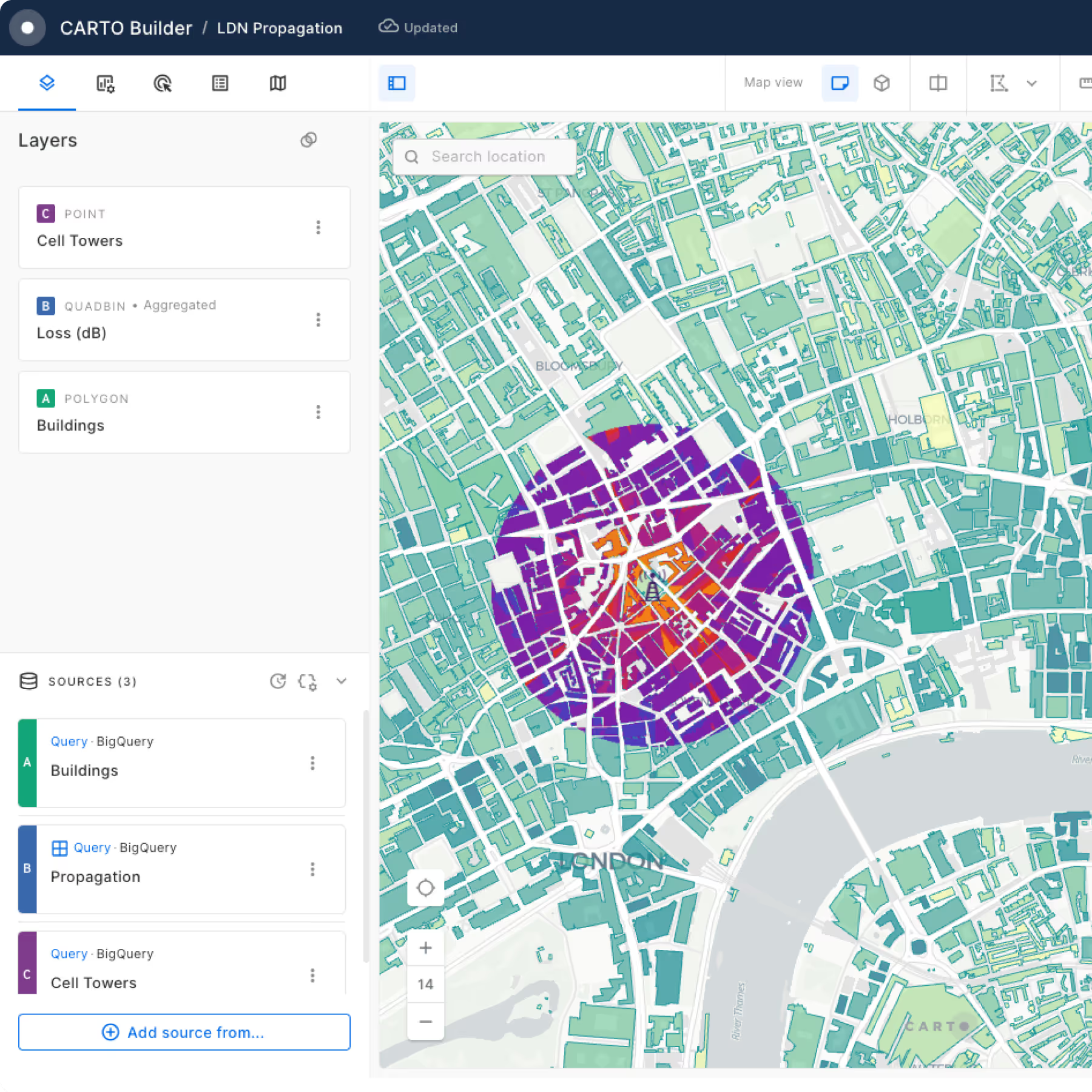
Build powerful Location Intelligence apps & visualizations
Visualization shouldn’t just be pretty maps, it should answer a business question. With CARTO, you can rapidly build Location Intelligence apps using our developer resources and templates. Our cloud native Dynamic Tiling technology provides a cost-effective and performant solution for visualizing spatial data at scale.
Access more than 12,000 geospatial datasets
Our Data Observatory makes it simple for enterprise organizations to access thousands of "always-on" public & premium datasets, enhancing their spatial analysis with data such as demographics, POIs, human mobility, financial and much more.

Get inspired by our customers

Using CARTO has enabled us to analyze service qualification at a much larger scale due to its comprehensive support for a wide range of functions and libraries including spatial indexes. This is a gamechanger, modernizing our GIS stack.