AI Agents are only as good as their understanding of your data. CARTO brings semantic models to AI Agents, with spatial context no other layer provides.
Cloud-native geospatial means your spatial analysis runs inside your data warehouse, with no data copies. See why it is also the foundation for Agentic GIS.
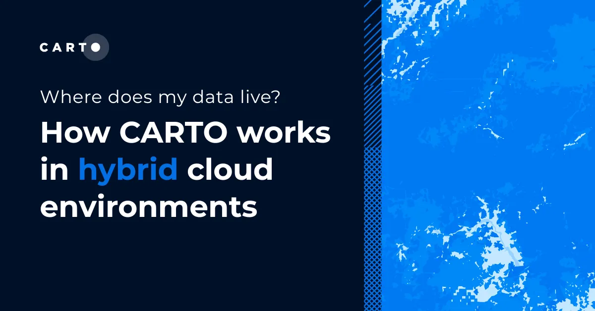
Where does my data live with CARTO? Inside your own cloud data warehouse. See how cloud-native GIS works across hybrid and multi-warehouse environments.
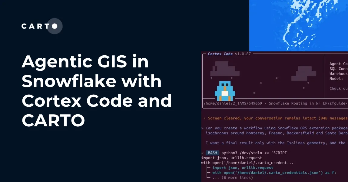
How CARTO for Agents integrates with Snowflake Cortex Code and Snowflake Intelligence to bring full agentic GIS, maps, workflows, and spatial apps inside your Snowflake environment.
One year after Iceberg V3 was approved, we tested which engines can actually read, query, and prune native geometry. Snowflake and Databricks now deliver it end-to-end, DuckDB is close, and a CRS-consistency gap is emerging across engines.
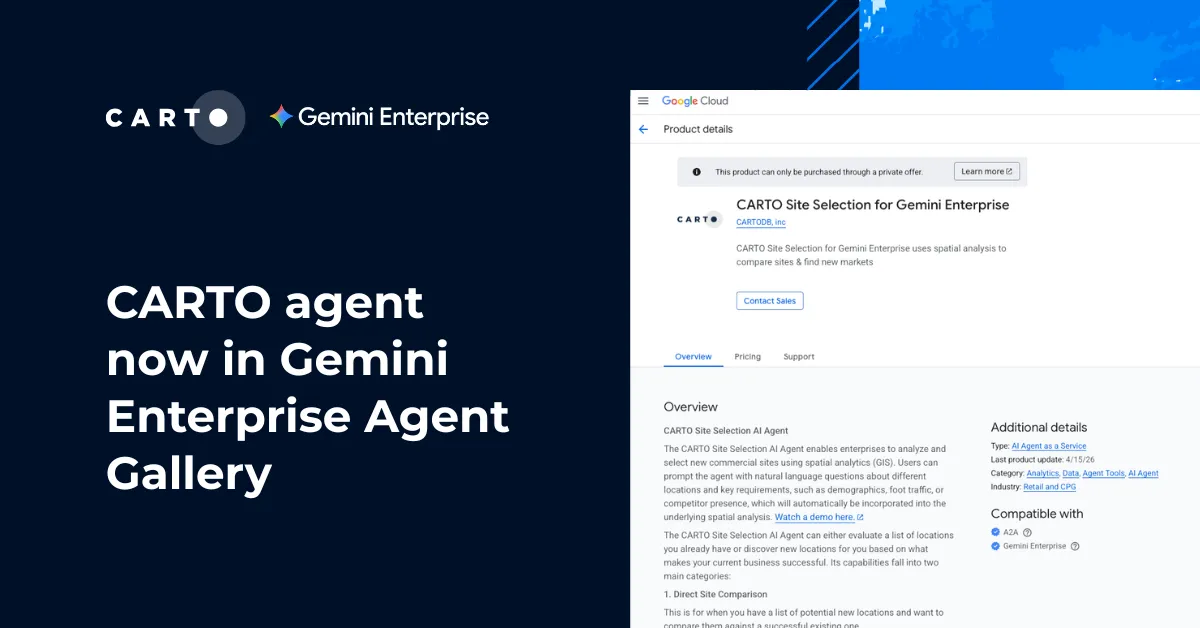
CARTO's Site Selection AI Agent is now available in the Agent Gallery inside the Gemini Enterprise app, vetted for security, accuracy, and enterprise scale.