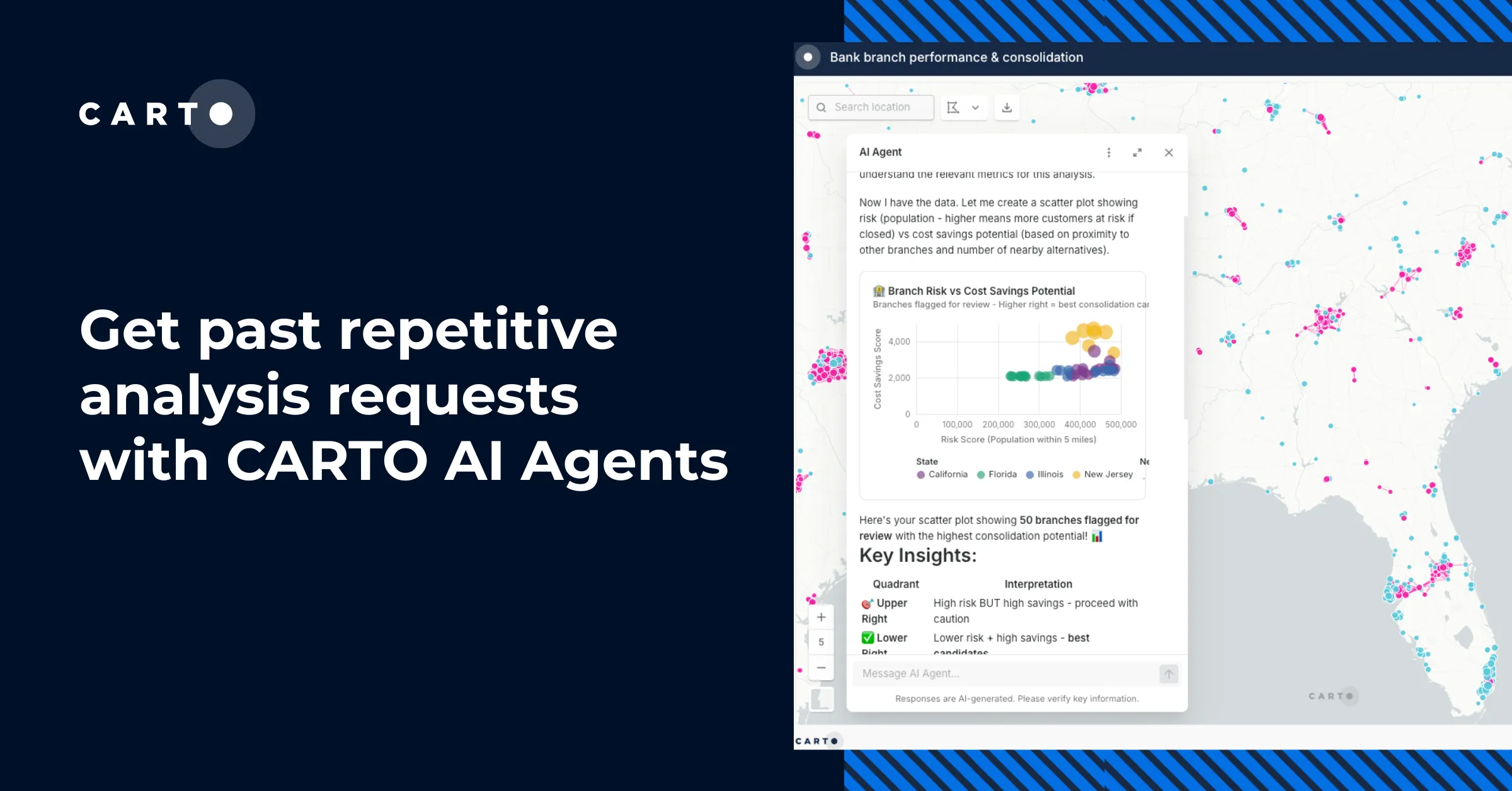
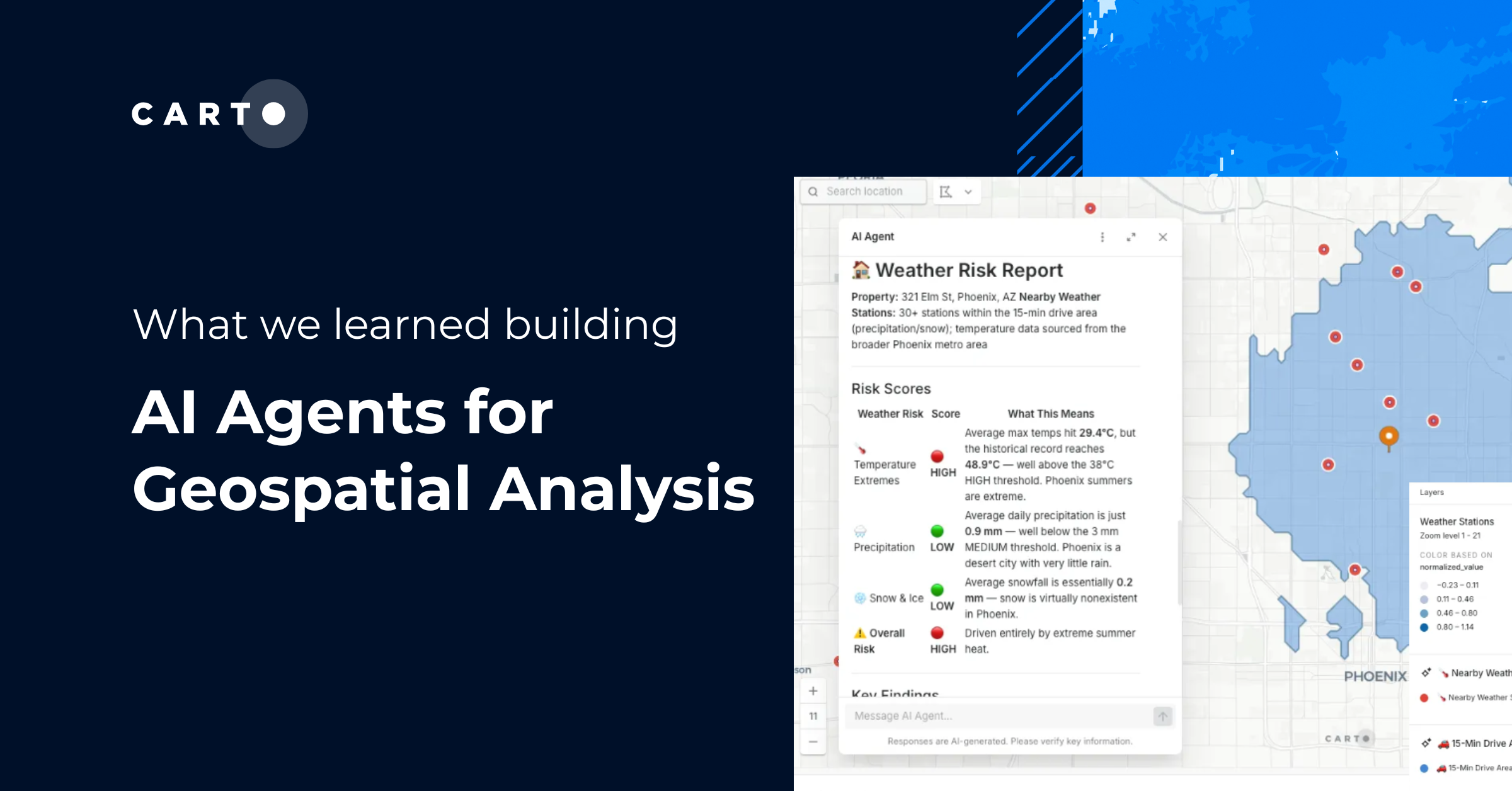
How coding agents can now scaffold full CARTO + deck.gl apps (dashboards, story maps, and AI-first experiences) from a single prompt, with CARTO handling performance and governance.
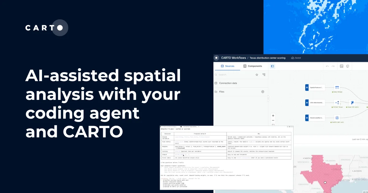
Coding agents can now design full CARTO Workflows from a prompt: multi-step, auditable, and ready to share. Here's how CARTO Agent Skills make it work.
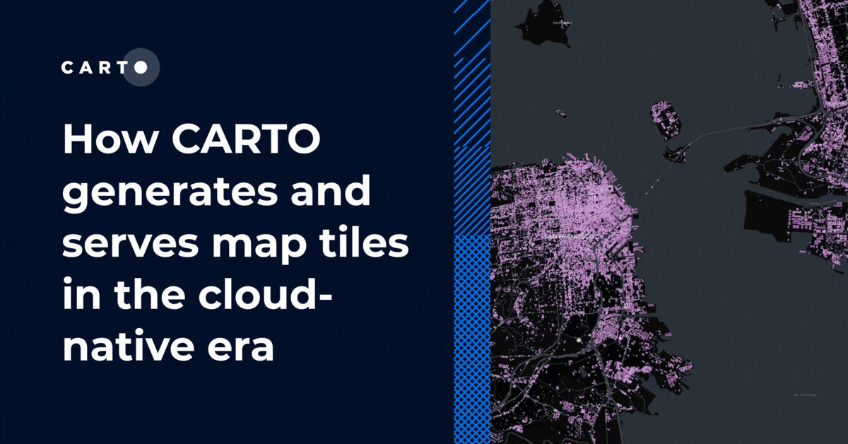
A technical look at how CARTO generates, serves, and improves map tile performance today: from dynamic tiling against cloud data warehouses to pre-generated tilesets and spatial indexes.
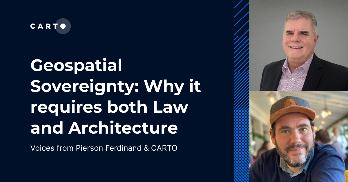
Unlock true geospatial sovereignty. This guide explains why a modern tech stack is not enough and how to build a legal and governance framework for your data.