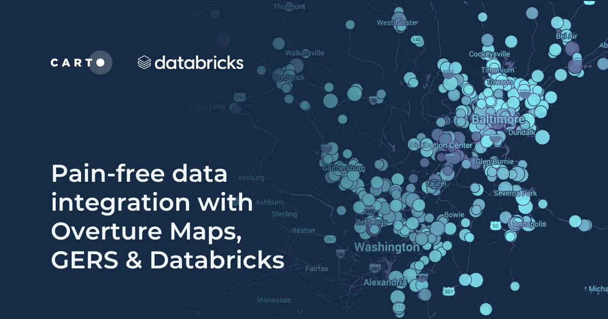
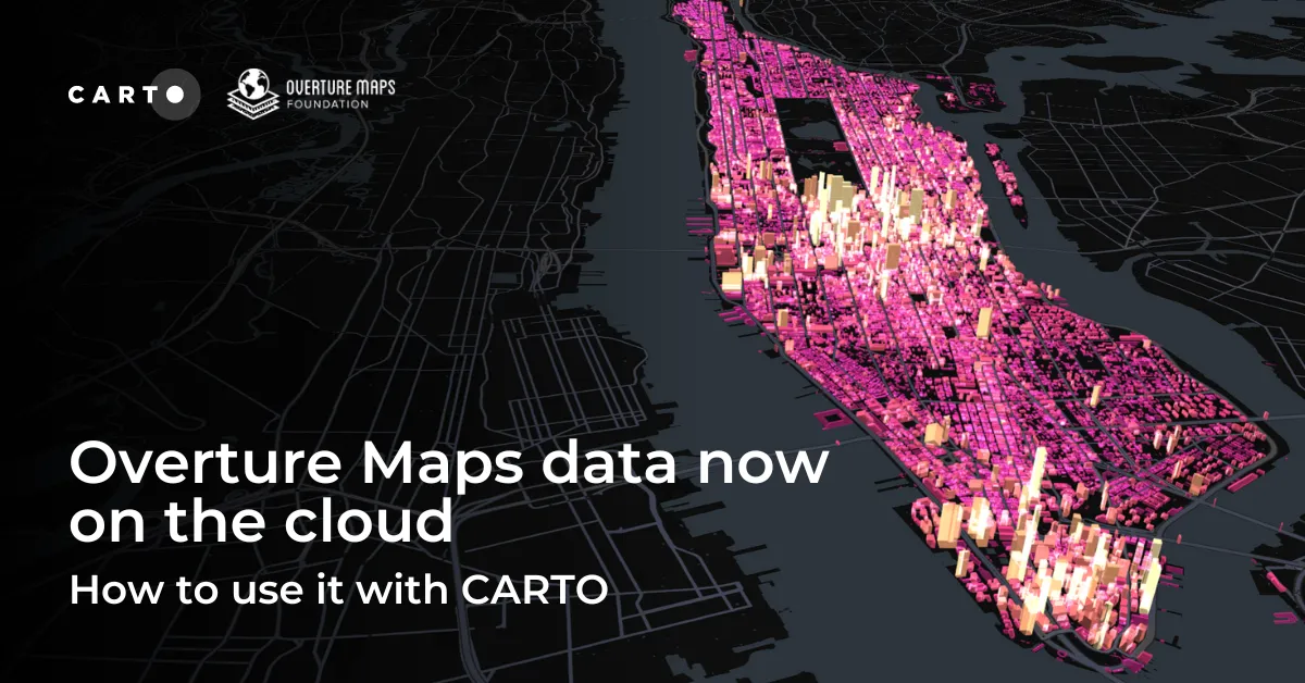
Discover how the GERSification of Overture Maps Foundation data can help you connect open and premium data to speed up analysis and smarter spatial decisions.
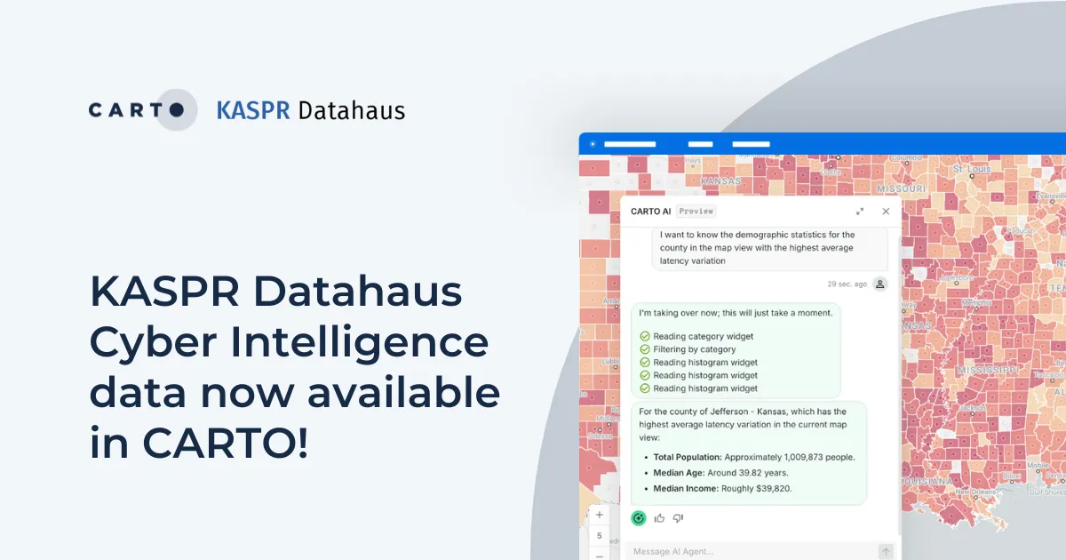
Announcing KASPR's global cyber intelligence data - now in CARTO! Monitor internet performance, optimize networks & drive smarter geospatial decisions.
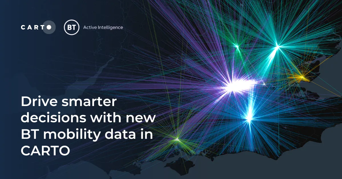
Bringing together different location data streams provides a modern alternative to traditional traffic impact studies. In this post we’ll present what value different types of location data add to mobility analysis.