

Talk to us
Speed up your spatial analysis
Schedule a 20 minute meeting with our experts to understand how you can use geospatial.
To submit an
RFP, please send an email to rfp@carto.com.
Get inspired by our customers
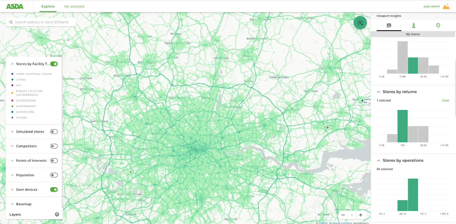
“In a competitive landscape we need to be smart about where we place lockers across our estate,
ensuring we land in the catchment areas of our target demographics. CARTO has made this a much
easier process, both in terms of data & their professional services team.”
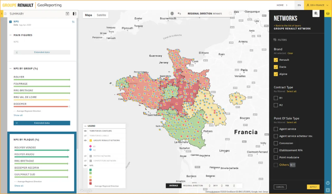
"With Gea, we are moving beyond static information to provide digital solutions and a superior
customer experience. By giving our consultants an unprecedented amount of information, we can enable
our clients to achieve their goals faster - using data to move away from traditional intuition-based
decision-making.”
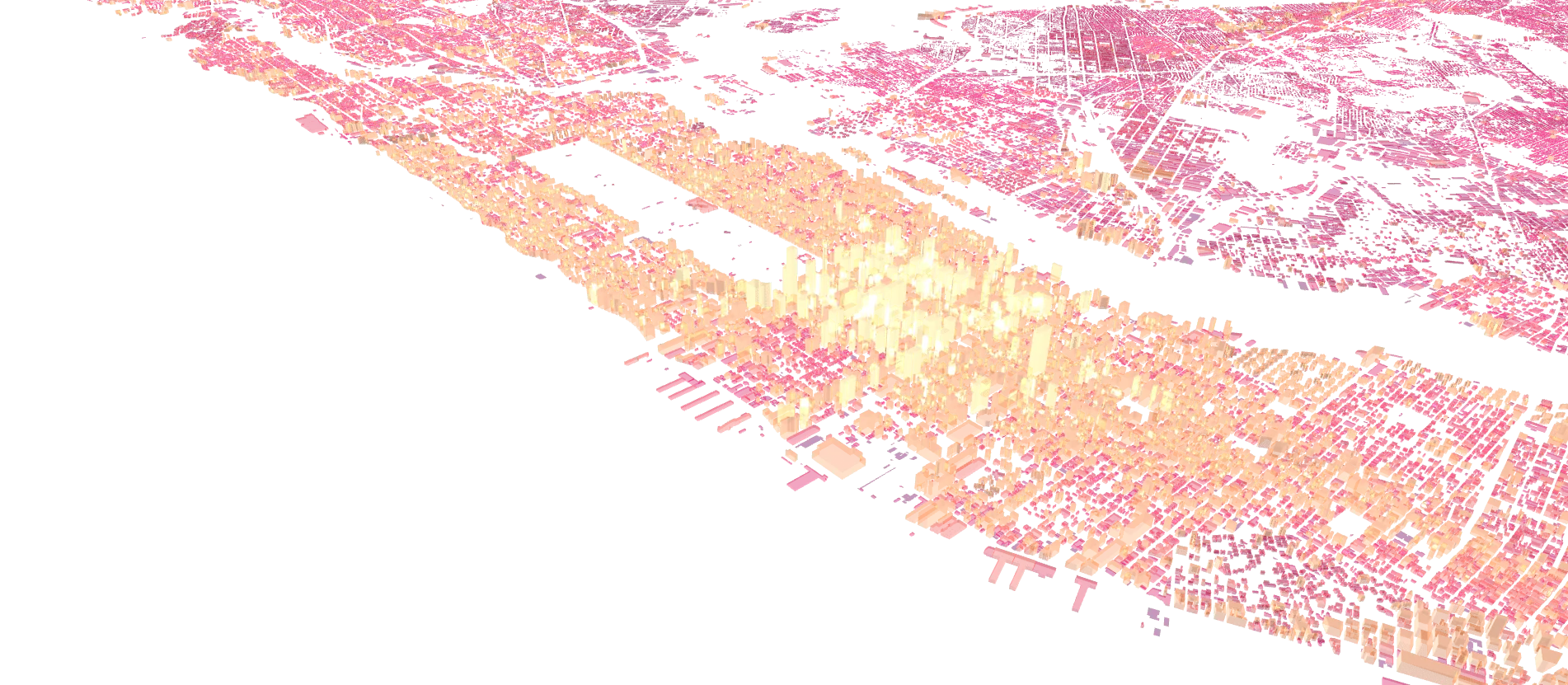
Cloud native geospatial analytics at scale
CARTO extends the analysis and visualization capabilities available in BigQuery, Snowflake, Redshift, Databricks, Oracle, and more. No need to pull data into our platform, unlike other Business Intelligence or modeling tools. Access a single, secure source for all your data giving you speed and agility, with no limits on data scale.

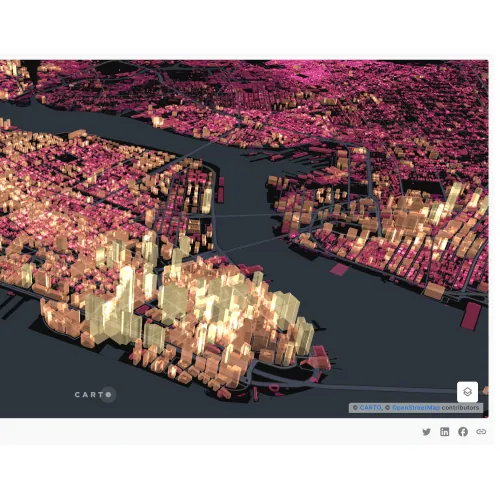
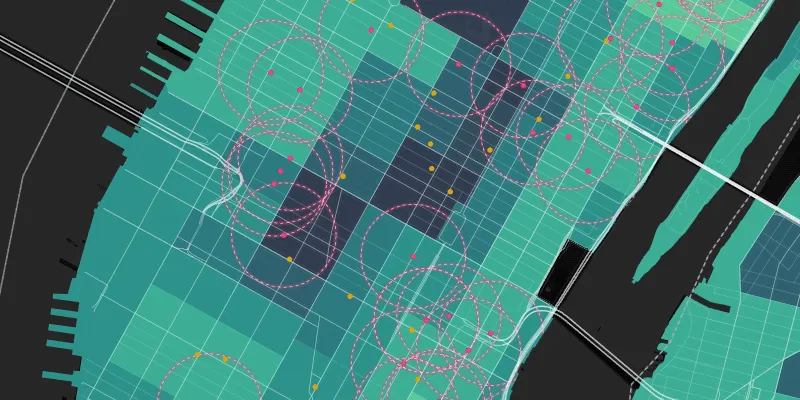
Unmatched data visualization capabilities
Build rich, dynamic data visualizations directly from your cloud data warehouse with Builder. Visualize billions of data points with ease. Create and share interactive dashboards that take your data storytelling to the next level.


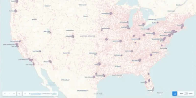
More than 12,000 datasets to enhance your analysis
Our Data Observatory gives you frictionless access to thousands of curated spatial datasets so you can enrich your own data, and deepen your analysis. Take away the pain of data discovery, evaluation & ETLing. Spend more time on the analysis that answers your most important business questions.