The CARTO Maps API allows you to generate maps based on data hosted in your CARTO account.
This component is still under support but it will not be further developed. We don’t recommend starting new projects with it as it will eventually become deprecated. Instead, learn more about our new APIs here
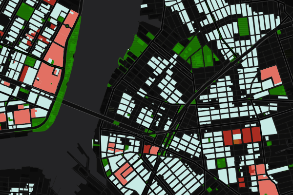
The Static Maps API can be initiated using both Named and Anonymous Maps using the layergroupid token. The API can be used to create static images of parts of maps and thumbnails for use in web design, graphic design, print, field work, and many other applications that require standard image formats.
Maps API endpoints
Begin by instantiating either a Named or Anonymous Map using the layergroupid token as demonstrated in the Maps API documentation above. The layergroupid token calls to the map and allows for parameters in the definition to generate static images.
Zoom + center
Definition
1
GET /api/v1/map/static/center/{token}/{z}/{lat}/{lng}/{width}/{height}.{format}{{?}extra_options}
Params
Param
Description
token
the layergroupid token from the map instantiation
z
the zoom level of the map
lat
the latitude for the center of the map
format
the format for the image, supported types: png, jpg
|_ jpg
will have a default quality of 85.
Bounding Box
Definition
1
GET /api/v1/map/static/bbox/{token}/{bbox}/{width}/{height}.{format}`
Params
Param
Description
token
the layergroupid token from the map instantiation
bbox
the bounding box in WGS 84 (EPSG:4326), comma separated values for:
LowerCorner longitude, in decimal degrees (aka most western)
LowerCorner latitude, in decimal degrees (aka most southern)
UpperCorner longitude, in decimal degrees (aka most eastern)
UpperCorner latitude, in decimal degrees (aka most northern)
width
the width in pixels for the output image
height
the height in pixels for the output image
format
the format for the image, supported types: png, jpg
|_ jpg
will have a default quality of 85.
Note: you can see this endpoint as
1
GET /api/v1/map/static/bbox/{token}/{west},{south},{east},{north}/{width}/{height}.{format}`
Extra options
Layer: List of layers to be shown in the image (by default all), for example ?layer=0,1.
Named Map
Definition
1
GET /api/v1/map/static/named/{name}/{width}/{height}.{format}
Params
Param
Description
name
the name of the Named Map
width
the width in pixels for the output image
height
the height in pixels for the output image
format
the format for the image, supported types: png, jpg
|_ jpg
will have a default quality of 85.
A Named Maps static image will get its constraints from the view argument of the Create Named Map function. If view is not defined, it will estimate the extent based on the involved tables, otherwise it fallbacks to "zoom": 1, "lng": 0 and "lat": 0.
Layers
The Static Maps API allows for multiple layers of incorporation into the MapConfig to allow for maximum versatility in creating a static map. The examples below were used to generate the static image example in the next section, and appear in the specific order designated.
As described in the MapConfig File Format, a “cartodb” type layer is now just an alias to a “mapnik” type layer as above, intended for backwards compatibility.
Additionally, static images from Torque maps and other map layers can be used together to generate highly customizable and versatile static maps.
Caching
It is important to note that generated images are cached from the live data referenced with the layergroupid token on the specified CARTO account. This means that if the data changes, the cached image will also change. When linking dynamically, it is important to take into consideration the state of the data and longevity of the static image to avoid broken images or changes in how the image is displayed. To obtain a static snapshot of the map as it is today and preserve the image long-term regardless of changes in data, the image must be saved and stored locally.
Limits
While images can encompass an entirety of a map, the limit for pixel range is 8192 x 8192.
Image resolution is set to 72 DPI
JPEG quality is 85%
Timeout limits for generating static maps are the same across CARTO Builder and CARTO Engine. It is important to ensure timely processing of queries.
If you are publishing your map as a static image with the API, you must manually add attributions for your static map image. For example, add the following attribution code: