Platform Overview
This is Agentic GIS
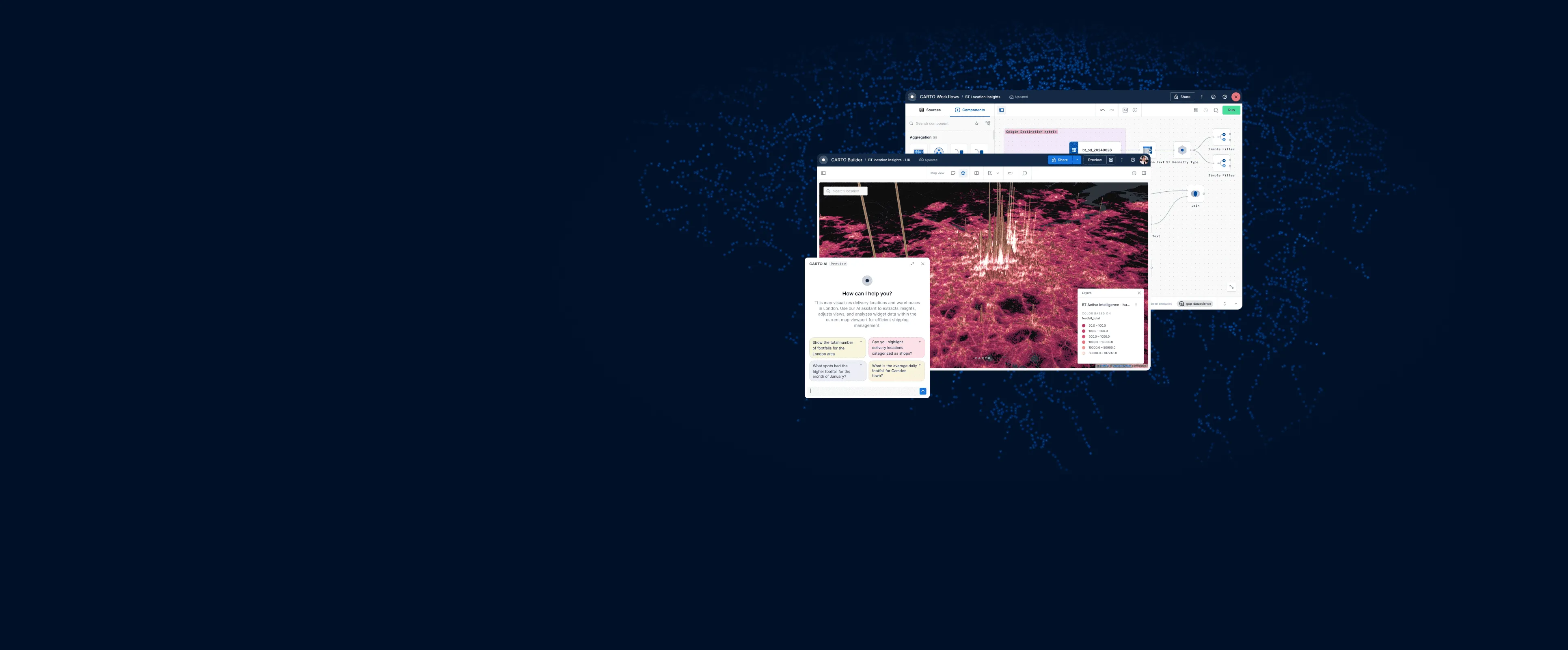
Analyze, visualize and develop with spatial data, natively in your cloud. No silos, no ETL, no governance compromises.

Spatial insights for everyone
Every person on your team can get a real, instant answer to a spatial question, not just the specialists.

Build and ship, fast
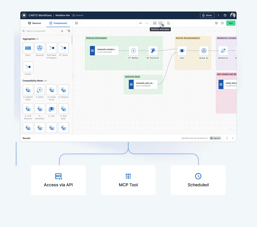
Go from an idea to a working map, app, or analysis in minutes, not sprints. Build & iterate with natural language.

Analysis that goes deeper
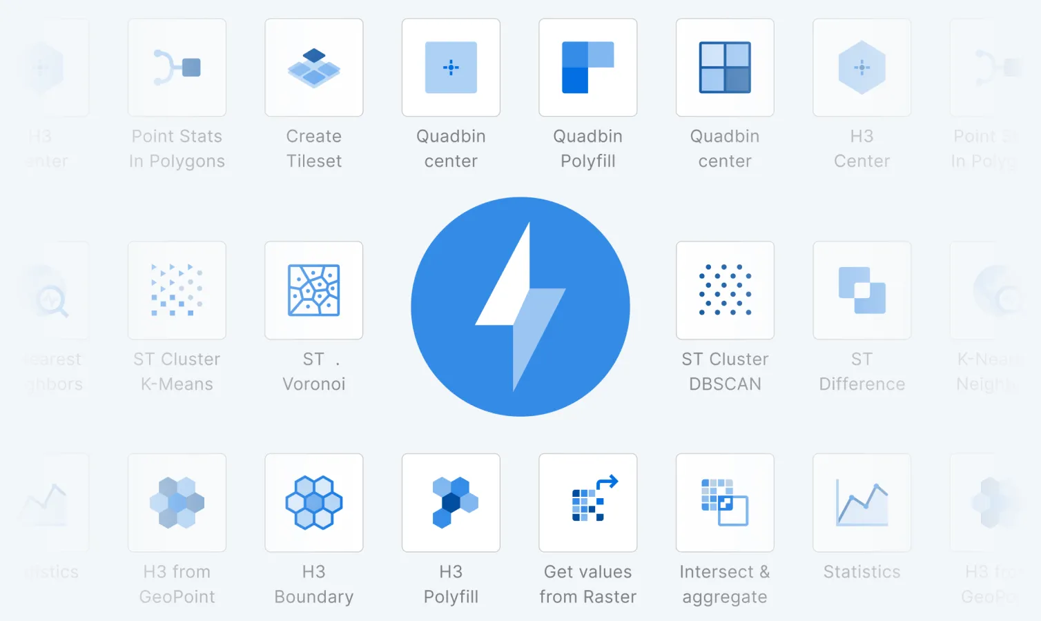
Run sophisticated, statistically grounded spatial analytics at a global scale, without code or delays.
One Agentic GIS platform for all users
Streamline your tech stack with an end-to-end geospatial platform built for the enterprise. From decision-makers to data analysts to developers, CARTO has tools for everyone in your team.
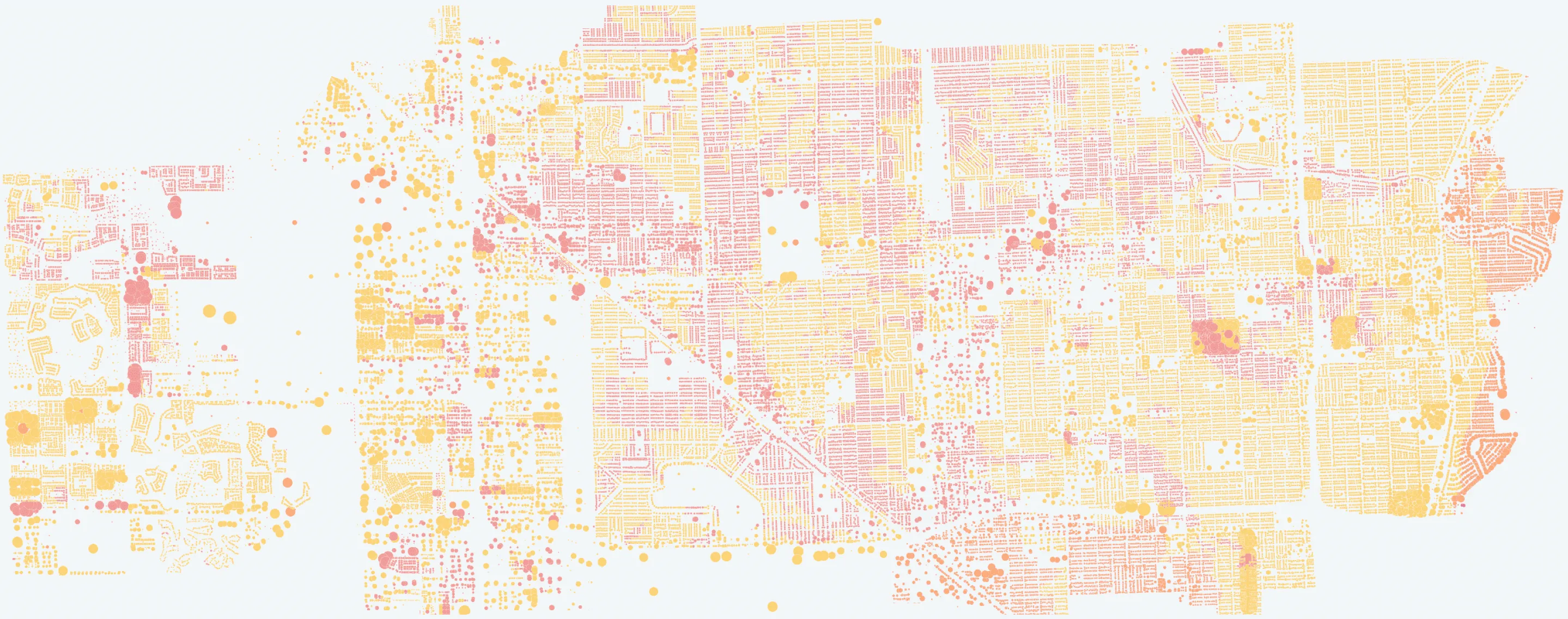
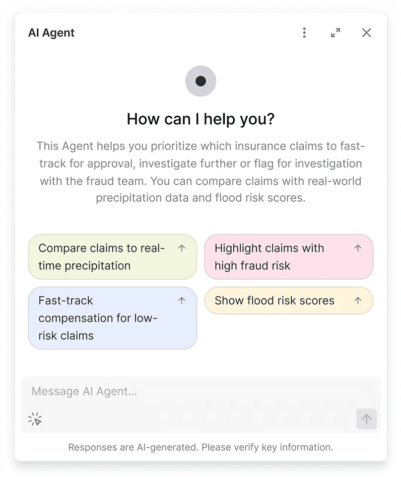
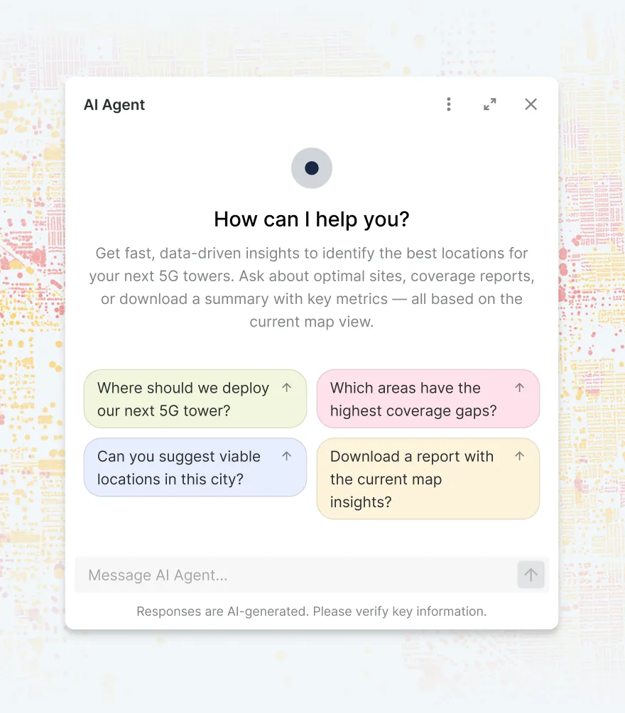
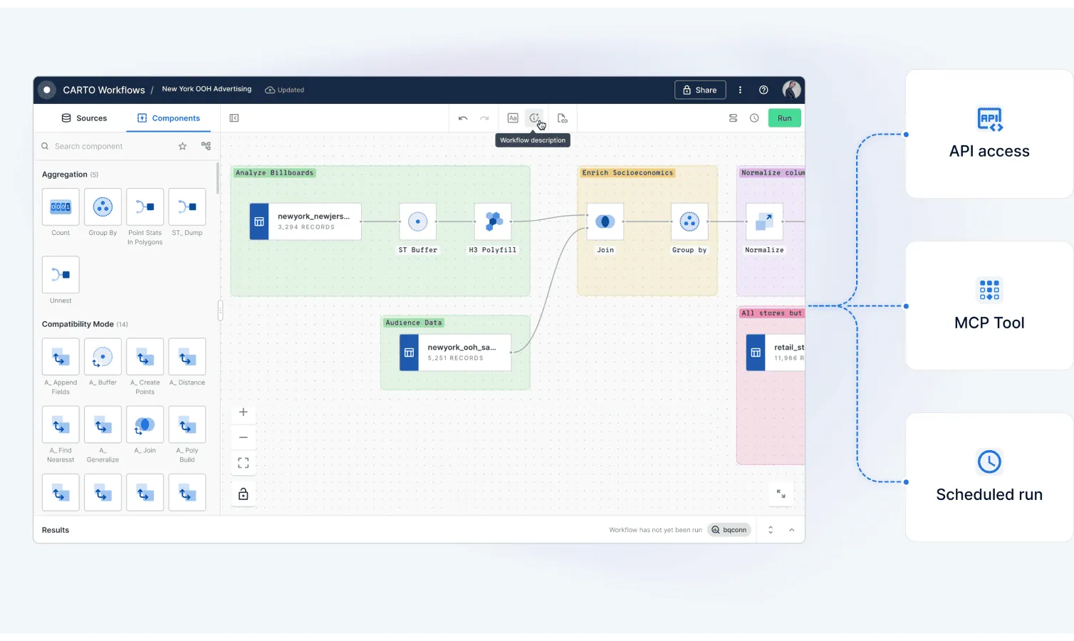


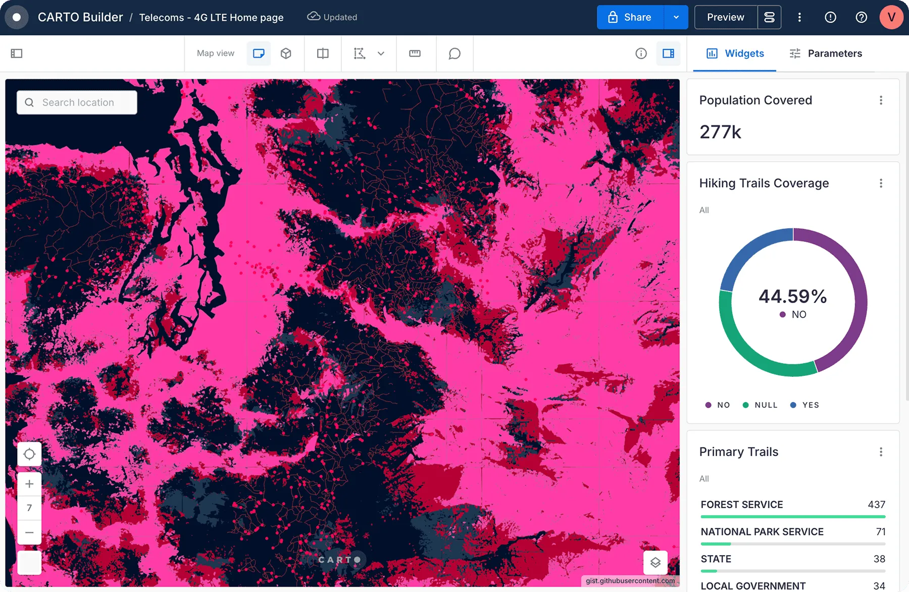
Unmatched data visualization capabilities
Get inspired by our customers

With CARTO's AI Agents, predictive growth insights move beyond data analysts and into the hands of every decision-maker. Now, anyone can ask our data questions like 'Which neighborhoods will grow fastest?' and get instant answers - speeding up site planning and providing a real competitive edge.


CARTO is very cloud-driven which is ideal for us as we are able to easily leverage our data in Snowflake. The connection allows us to streamline our ways of working with geospatial data in an unprecedented fashion, bringing us more productivity, capability and scalability.


At EQT, we constantly seek ways to enhance the strategic value of our investments and improve the decision-making process. CARTO has been a game-changer for EQT, their cloud-native platform, seamless data integration, Builder for visualization and Analytics Toolbox make it much easier for us to assess investment opportunities and provide strategic advice to our portfolio companies.


CARTO has allowed us to tackle complex challenges relating to road accident analysis in London and much more. Working with their cloud-native platform has been a transformative experience, making it faster for us to visualize large-scale geospatial data and quickly deliver insights to different areas of our business, partners, and clients.


Working with the CARTO platform has helped take our Location Intelligence strategy to the next level. The platform's rich set of data analytics features and cloud-native approach helps us deliver outstanding insights that fuel our strategy, execution, and performance measurement.


CARTO's cloud-native approach and the ability to use H3 at scale was a big game changer for us. We can now compute data in real time without the need for heavy coding. Working with the CARTO platform has been extremely impactful as we can now easily visualize & analyse massive amounts of satellite data.


By partnering with a world-class Location Intelligence platform provider we've been able to unlock unique spatial insights from our mobile data, opening new lines of business and turning billions of events in to unique insights for Retailers, Real Estate companies and Public Sector organizations.


Need some help to kick-start your geospatial project?


Related content