


Agentic GIS is an approach to geospatial analysis in which GIS and data teams build AI Agents, and the tools those agents use, to answer spatial questions. The agent chooses and runs the GIS tools and data it has been given, checks its results, and refines the analysis until it reaches a grounded answer. AI Agents can be shared to help people without data skills ask questions of spatial data in plain language.
This is also known as agentic geospatial AI or agentic GeoAI — the concept of applying agentic AI to GIS.
Spatial questions are rarely a single query. “Where should we open our next store?” means weighing sales, competitors, demographics, and travel times, and the plan changes as the picture fills in. An AI Agent works through that chain with the tools and rules its builders set, returns a summary with an interactive map, and the next question starts from the last answer. GIS analysts become Agent Builders: instead of producing every map, they build their knowledge into agents and tools the rest of the business can use.
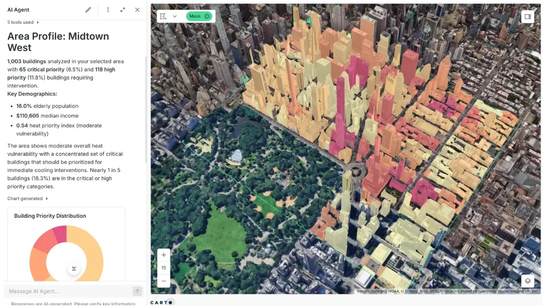
- Agentic GIS is geospatial analysis in which GIS and data teams build AI Agents that plan, run approved tools, check their results, and refine the answer.
- AI Agents can be shared so people without data skills can ask spatial questions in plain language. In a well-governed system, agents only see the data their users are allowed to see.
- When experts build the analysis as reusable, deterministic tools, answers are repeatable and defensible instead of rewritten from scratch each time.
- Built on open standards such as MCP, the same tools can work from Claude, ChatGPT, Microsoft Copilot, Gemini, and more.
Hands-on playbooks for getting started with Agentic GIS, for your sector or the AI platforms you already use.
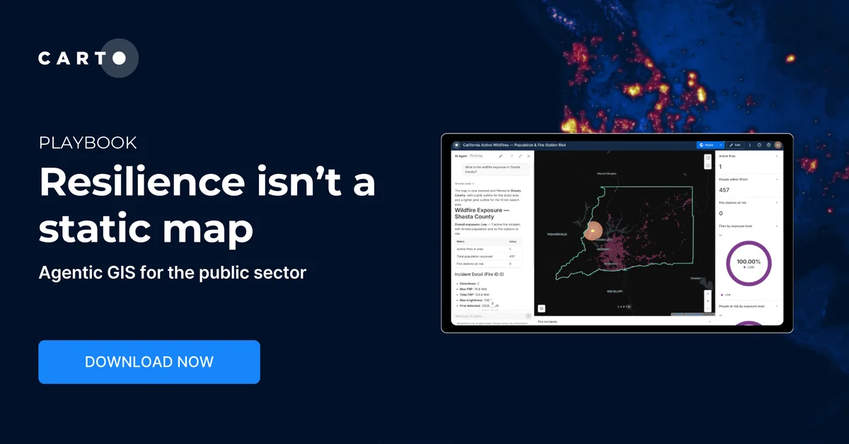
Agentic GIS for the Public Sector
See how public agencies use Agentic GIS to reassess coverage the moment conditions change, with a governed, auditable process every time.
Download now →
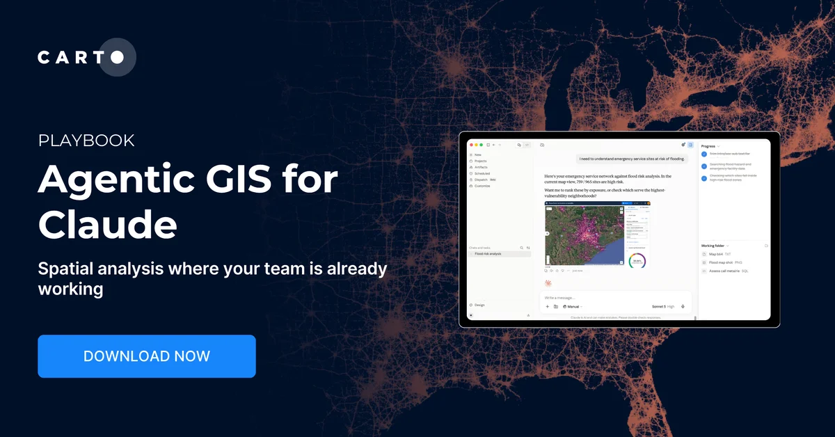
Agentic GIS for Claude
See how CARTO turns Claude into a spatial analyst connected to your own data and cloud, with governed, auditable GIS workflows.
Download now →
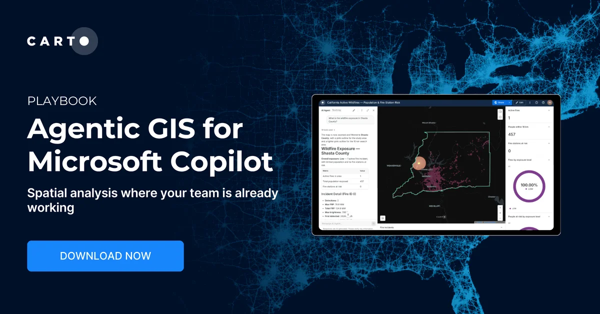
Agentic GIS for Microsoft Copilot
Ask spatial questions in plain language from Copilot Studio. This playbook shows how CARTO keeps every answer governed and auditable.
Download now →
How does Agentic GIS work?
A well-designed Agentic GIS system has two sides: the experts who design what an agent can do, and the agent that answers questions within that framework.
- Experts set up the agent. GIS and data teams choose which data the agent can use, describe business terms in a semantic model so the agent reads the data correctly, build the analysis it can run as reusable tools (for example, Workflows published as MCP tools), and set its guardrails and instructions. They can build the agent into a map or app, or publish the tools to the AI platforms their teams already use.
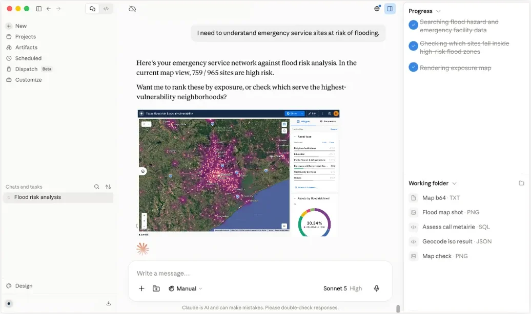
- A user asks a question. Someone with access asks in plain language, from a map, an app, or an AI platform such as Claude or Microsoft Copilot.
- The agent plans the steps. It breaks the question into analyses, for example enriching candidate sites with demographic data, then scoring and ranking them, and picks the tools that fit.
- The agent runs the tools as a governed identity. It calls only the tools it has been given and inherits the permissions of the user or service identity it runs as. In a cloud-native system, the analysis runs in the data warehouse under existing controls such as row-level security, and every action is logged.
- It checks and answers. It reviews intermediate results, asks for missing context when it needs it, and returns a grounded answer, usually a summary with a map, with the tools it used visible for review. Follow-up questions start from that context.
What are the building blocks of Agentic GIS?
- Agent platforms: where people ask their questions, such as Claude, ChatGPT, Microsoft Copilot, and Gemini, or AI Agents built into maps and apps.
- Agents: LLM-powered systems that interpret questions, plan, and call tools. See AI Agent.
- Tools: reusable, deterministic analysis built by GIS and data teams, such as no-code Workflows published as tools, spatial SQL, routing, and enrichment processes.
- Protocols and skills: open standards such as MCP, which lets agents on any AI platform call those tools, and Agent Skills, which teach agents how to use a platform, coordinated through orchestration.
- Data and semantics: spatial data, ideally kept in a cloud data warehouse so analysis runs next to it, enriched with key variables such as demographics and mobility, plus semantic models that define business terms so the agent reads the data correctly.
- Guardrails: controls that make agents authenticate as a governed user or service identity, inherit its permissions, use only approved tools and data, and log every action for review. See Spatial Data Governance.
How is Agentic GIS different from traditional GIS and GeoAI?
GeoAI applies AI models to spatial data, for example to predict patterns from satellite imagery or embeddings. Agentic GIS can use those models as tools, but what defines it is the agent that orchestrates them within the limits experts set. A map chatbot answers questions about what is on a map; an agent runs the analysis behind it. See also Geospatial Reasoning and Geospatial Foundation Models.
| Traditional GIS | AI-assisted GIS | Agentic GIS | |
|---|---|---|---|
| Who runs the analysis | A GIS specialist | A specialist, helped by a copilot | The agent, using tools and guardrails GIS experts set |
| How you ask | A request to a specialist, or a map built for one purpose | The specialist prompts the copilot | A plain-language question from anyone with access |
| How steps are chosen | Fixed by the specialist | Suggested by the assistant, chosen by the specialist | Planned and adjusted by the agent, with GIS experts still in control |
| Changing the question | Start again or file another request | The specialist reworks it | Ask a follow-up and the agent re-runs the tools |
| Repeatability | Depends on who runs it | Varies with each prompt | Consistent when built on approved, reusable tools |
| Where specialists spend their time | Producing every map | Producing maps faster | Building the data, tools, and rules the agent uses |
| Typical output | A map or report | A map, query, or workflow | A summary with a map |
Why should Agentic GIS rely on reusable tools, not just text-to-SQL?
Spatial answers need to be repeatable and defensible. With text-to-SQL alone, a model writes a new query for every question, so the same question can take a different approach, and get a different answer, each time it is asked, with no approved method behind it.
In a well-designed Agentic GIS system, agents can still query data to look around, but answers that matter come from deterministic tools. GIS experts build the analysis as an approved, versioned workflow and publish it for agents to call, and an analysis that works can be saved as a new workflow, so next time it runs instead of being reinvented. The agent decides which tool fits the question; the tool decides how the analysis runs. Reviewers can open the workflow to see exactly how a result was produced.
| Text-to-SQL alone | Reusable spatial tools | |
|---|---|---|
| How the analysis is built | The model writes a new query for each question | Experts build and test the method once |
| Same question, asked twice | May take a different approach and get a different answer | Same method, consistent results on the same data |
| Checking an answer | Read the generated SQL after the fact | Open the workflow and inspect each step |
| Who owns the method | The model, on each run | The GIS and data team |
How do data governance and security work in Agentic GIS?
Security is usually the first question teams ask before they let an agent near their data. An agent that can run analysis could also reach data it shouldn’t, so the system around it has to set clear limits. In a well-governed Agentic GIS system:
- Agents act as governed identities. An agent authenticates, inherits the permissions of the user or service identity it runs as, and sees only what that identity is allowed to see, including under row-level security.
- Scope is explicit. Each agent has its own instructions, datasets, and tools, so an agent built for network planning can’t wander into unrelated tables.
- Every action is logged. Tool calls and queries are recorded within the organization’s existing audit controls, and results such as workflows and maps can be opened, inspected, and rerun.
- Models see only what they need. Only the minimum context for the task reaches the model, and agents run on models the organization has approved.
This is why architecture matters. When a GIS platform copies or syncs data into its own servers, every agent query adds another copy to secure and another set of permissions to keep in step. In a cloud-native system, the analysis runs inside the organization’s own cloud data warehouse, so the data never moves, the same access controls apply to people and agents, and there is one audit trail. Agentic GIS scales safely only when agents work where the data already lives. See Spatial Data Governance.
What is Agentic GIS used for?
- Site selection: “Where should we open our next store?” See Site Selection.
- Market and trade areas: “How much of this market can each branch reach?” See Trade Area Analysis.
- Network disruption: “What happens if this depot goes down?” See Routing Software.
- Risk and exposure: “Which assets sit in the path of this storm?” See Catastrophe Modeling.
- Territory planning: “How do we rebalance crews so no zone is overloaded?” See Territory Planning.
- Coverage gaps: “Where does network coverage fall short of demand?” See Network Deployment.
Agentic GIS with CARTO
CARTO is the leading Agentic GIS platform, built for the Agentic Enterprise, where people and AI Agents work on spatial analysis with shared data, shared governance, and one definition of a trustworthy answer. CARTO is cloud-native: every action runs inside your own cloud data warehouse, so your data never moves, and agents work within the access controls you already have.
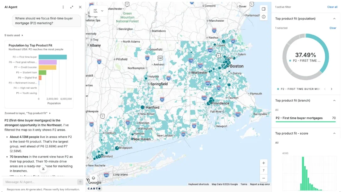
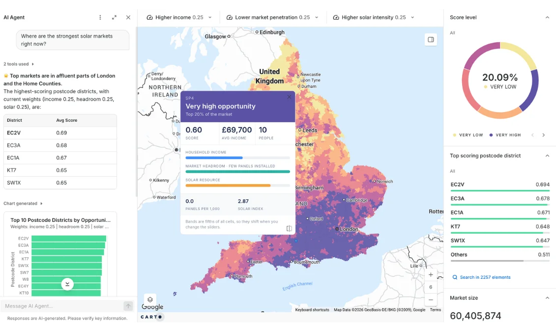
- Reach, with CARTO AI Agents: analysts build AI Agents into CARTO Builder maps and apps, with their own tools, instructions, and semantic models, so business users can ask questions in plain language. Agents run on the models you approve, including through Oracle OCI Generative AI.
- Reach and velocity, with CARTO for Agents: the CARTO MCP Server, CARTO CLI, and CARTO Agent Skills let the AI platforms teams already use run governed spatial analysis, and build maps, workflows, and apps in CARTO:
- Claude
- ChatGPT
- Microsoft Copilot Studio
- Google Gemini Enterprise
- Snowflake CoWork
- Databricks Genie Code
- Coding agents such as Claude Code, Codex, Cursor, and Antigravity. See vibe coding spatial apps with CARTO for Agents.
- Velocity, with AI assistants: in-product help that speeds up analysts as they build agents, workflows, and maps.
- Depth, with geospatial foundation models: models that add analytical depth, delivered through Workflows and product integrations.
The three playbooks above walk through it for the public sector, Claude, and Microsoft Copilot. For CARTO’s point of view, read What is Agentic GIS?
Frequently Asked Questions
What is Agentic GIS?
Agentic GIS is an approach to geospatial analysis in which GIS and data teams build AI Agents that answer spatial questions by running approved GIS tools, checking their results, and refining the analysis. It is also known as agentic geospatial AI or agentic GeoAI. AI Agents can be shared so people without data skills can ask questions of spatial data in plain language.
How is Agentic GIS different from GeoAI?
GeoAI applies AI models to spatial data, for example to predict patterns. Agentic GIS is about how the work gets done: an agent plans and runs a chain of analyses with tools that experts have built, and can use GeoAI models as some of those tools.
How is it different from a GIS copilot or map chatbot?
A copilot helps a specialist write queries or style layers, and a chatbot answers questions about what is already on a map. An agent plans and runs multi-step analyses with the tools experts have given it, and checks the results before it answers.
How do AI Agents run a spatial analysis?
They call tools that GIS and data teams have built, such as Workflows, spatial SQL, and enrichment processes, usually through MCP. With CARTO, the processing runs in your data warehouse under the permissions of the identity the agent runs as, while the agent decides which tools to use and in what order.
Why use reusable tools instead of text-to-SQL alone?
With text-to-SQL alone, a model writes a new query for every question, so the same question can take a different approach, and get a different answer, each time. Reusable tools are built and tested once by experts, so the same question follows the same approved method, and reviewers can inspect how a result was produced.
What is MCP, and why does it matter for GIS?
The Model Context Protocol is an open standard that lets AI applications connect to tools and data through one interface. For GIS, it means any compatible AI platform can run the same geospatial tools without a custom integration.
Which AI platforms can I use for GIS analysis?
Any platform that supports MCP, plus coding agents. CARTO for Agents connects to Claude, ChatGPT, Microsoft Copilot Studio, Google Gemini Enterprise, Snowflake CoWork, and Databricks Genie Code through the CARTO MCP Server, and to coding agents such as Claude Code, Codex, Cursor, and Antigravity through the CARTO CLI and Agent Skills. For example, ChatGPT can build maps, run Workflows, and query your own data warehouse. See how to connect each platform.
Is it safe to let an agent query my data?
In a well-governed system, an agent can only use the tools and data you give it. With CARTO, it authenticates as a governed user or service identity and inherits its permissions, the analysis runs inside your warehouse under existing controls such as row-level security, and every action is logged for audit.