GeoAI is the application of artificial intelligence and machine learning to geographic data and spatial problems. It bridges two fields that have evolved largely in parallel: AI, which has produced powerful models for general data, and geospatial analysis, which has long-developed methods for reasoning about space.
What is GeoAI?
GeoAI uses AI techniques to do things that traditional spatial analysis struggles with, including:
- Predicting outcomes at unobserved locations: for example, estimating the value of a parameter at every cell of a grid based on a sparse set of observations
- Extracting features from imagery: segmenting buildings, roads, vegetation, or land use from satellite or aerial imagery
- Modeling movement and behavior: learning patterns from mobility traces, transactions, and social-media data to forecast where people will be and what they will do
- Generating spatial representations: encoding places, routes, or movements as vectors that can be used in downstream models
Subfields and Methods
GeoAI is a broad umbrella. Some of the most active subfields are:
- Spatial machine learning: applying ML algorithms (random forests, gradient boosting, neural networks) to spatial datasets, often with explicit handling of spatial autocorrelation and cross-validation strategies that respect geography
- Geospatial foundation models: large pretrained models like Google’s PDFM, Clay, and Earth-observation transformers that learn general-purpose representations from massive geographic datasets
- Spatial embeddings: vector representations of places, mobility patterns, or behavior that can be reused across many downstream tasks
- Computer vision for imagery: semantic segmentation, change detection, and object detection on satellite, aerial, and street-level imagery
- Graph neural networks for spatial networks: modeling road, rail, telecom, and supply-chain networks as graphs
GeoAI vs Spatial AI
Spatial AI is closely related and often used interchangeably with GeoAI. The difference is one of emphasis. GeoAI centers on the techniques and data: the models, embeddings, and methods that apply machine learning to geographic information. Spatial AI centers on the applied capability: location-aware intelligence built into the applications, agents, and decisions an organization runs on. In practice, GeoAI is what data teams build and Spatial AI is what the wider business puts to work, both on the same governed data.
Why GeoAI Matters
Two trends are converging to make GeoAI practical at scale:
- Massive geographic datasets are now standard: satellite imagery, GPS-based mobility data, and high-resolution imagery are widely available, often inside cloud data warehouses
- Foundation models reduce the cost of spatial ML: pretrained models can be fine-tuned for specific tasks with relatively little labeled data, lowering the barrier to entry for organizations without dedicated AI teams
For organizations, GeoAI can deliver more accurate forecasts, faster image analysis, and richer behavioral segmentation than traditional spatial analysis on its own.
GeoAI in CARTO
CARTO supports GeoAI workflows directly inside the cloud data warehouse. Analysts and data scientists can:
- Integrate third-party embeddings (like Google’s PDFM) into CARTO Workflows
- Build analytical components that operate on embeddings using the Analytics Toolbox
- Combine GeoAI predictions with traditional geospatial analytics and visualization in CARTO Builder
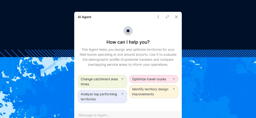
- Use AI Agents and LLMs to run spatial analysis in plain language, either with CARTO AI Agents or by operating CARTO from agentic platforms such as Claude, Gemini, and ChatGPT through CARTO Agent Skills and the CARTO MCP Server
For more, see CARTO’s perspective on putting foundation models into practice.