Spatial AI is the application of artificial intelligence to geographic data and problems where location is a primary dimension. It is widely used as the industry-facing umbrella term for the same set of techniques that are referred to in research as GeoAI.
What is Spatial AI?
Spatial AI covers the use of AI methods for tasks where the geographic structure of the data matters: predicting outcomes at locations that have not yet been observed, extracting information from satellite or aerial imagery, learning representations of places and movements, and reasoning over spatial networks.
Spatial AI vs GeoAI
The two terms refer to the same broad practice and are often used interchangeably. The difference is one of emphasis:
- GeoAI centers on the techniques and data: the models, embeddings, and methods that apply machine learning to geographic information. It is the term used when the focus is building the model.
- Spatial AI centers on the applied capability: location-aware intelligence built into the applications, agents, and decisions an organization runs on. It is the term used when the focus is putting spatial intelligence to work across teams.
In practice, GeoAI is what data teams build and Spatial AI is what the wider business uses, both on the same governed data. CARTO uses Spatial AI as the umbrella in customer-facing communications.
What’s Included Under Spatial AI
- Spatial machine learning: applying classical and deep ML to geographic data, with explicit handling of spatial autocorrelation
- Geospatial foundation models: large pretrained models that learn general-purpose spatial representations (e.g. Google’s PDFM, Clay)
- Spatial embeddings: vector representations of places, regions, or behavior used as features in downstream models
- AI-assisted geospatial analysis: natural-language interfaces and AI Agents that lower the barrier to spatial analysis for non-specialists
- Computer vision for imagery: segmentation, change detection, and object recognition on satellite and aerial imagery
Why Spatial AI Matters for Business
Spatial AI is becoming a practical capability for enterprises rather than a research project. Foundation models and pretrained embeddings reduce the data and expertise needed to deploy spatial ML, while cloud data warehouses provide the scale needed to apply these models to enterprise data. The result is that organizations can now build spatial AI applications without assembling a dedicated research team.
Spatial AI in CARTO
CARTO is built to make Spatial AI usable with data in the cloud data warehouse. The platform supports:
- Integration of third-party embeddings (such as Google’s PDFM) into CARTO Workflows
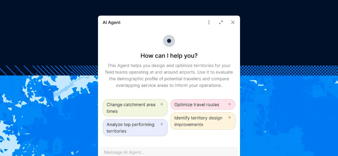
- CARTO AI Agents built on maps and Workflows, so business users can ask spatial questions in plain language
- Operating CARTO from external agentic platforms such as Claude, Gemini, and ChatGPT through CARTO Agent Skills and the CARTO MCP Server, part of CARTO’s Agentic GIS approach
- Combination of Spatial AI outputs with traditional geospatial analytics and visualization
- Native support for BigQuery, Snowflake, Databricks, Redshift, and Oracle, so AI workflows operate on the same data already used for spatial analysis
Because analysis runs inside your governed data warehouse, data never moves and every agent action is logged and auditable.
For more on CARTO’s approach, see the post on putting geospatial foundation models into practice.