Cities & Government
From bottlenecks to faster decisions
Siloed data means slow decision-making. Bring spatial analysis, real-time monitoring, and decision-making together, without moving data out of your existing systems.

Break down departmental silos
Different teams and departments often work off separate, disconnected systems. Run spatial analysis directly from one centralized cloud, without duplication or governance risks.

From reactive maps to real-time analytics
Static maps and PDF reports go stale the moment conditions change. Use live, interactive dashboards and predictive analytics and move from reactive to proactive.

Scale your GIS team across every department
One GIS team can't keep up with requests from every agency at once. Let any staff member — not just GIS specialists — get spatial answers on demand and eliminate bottlenecks.






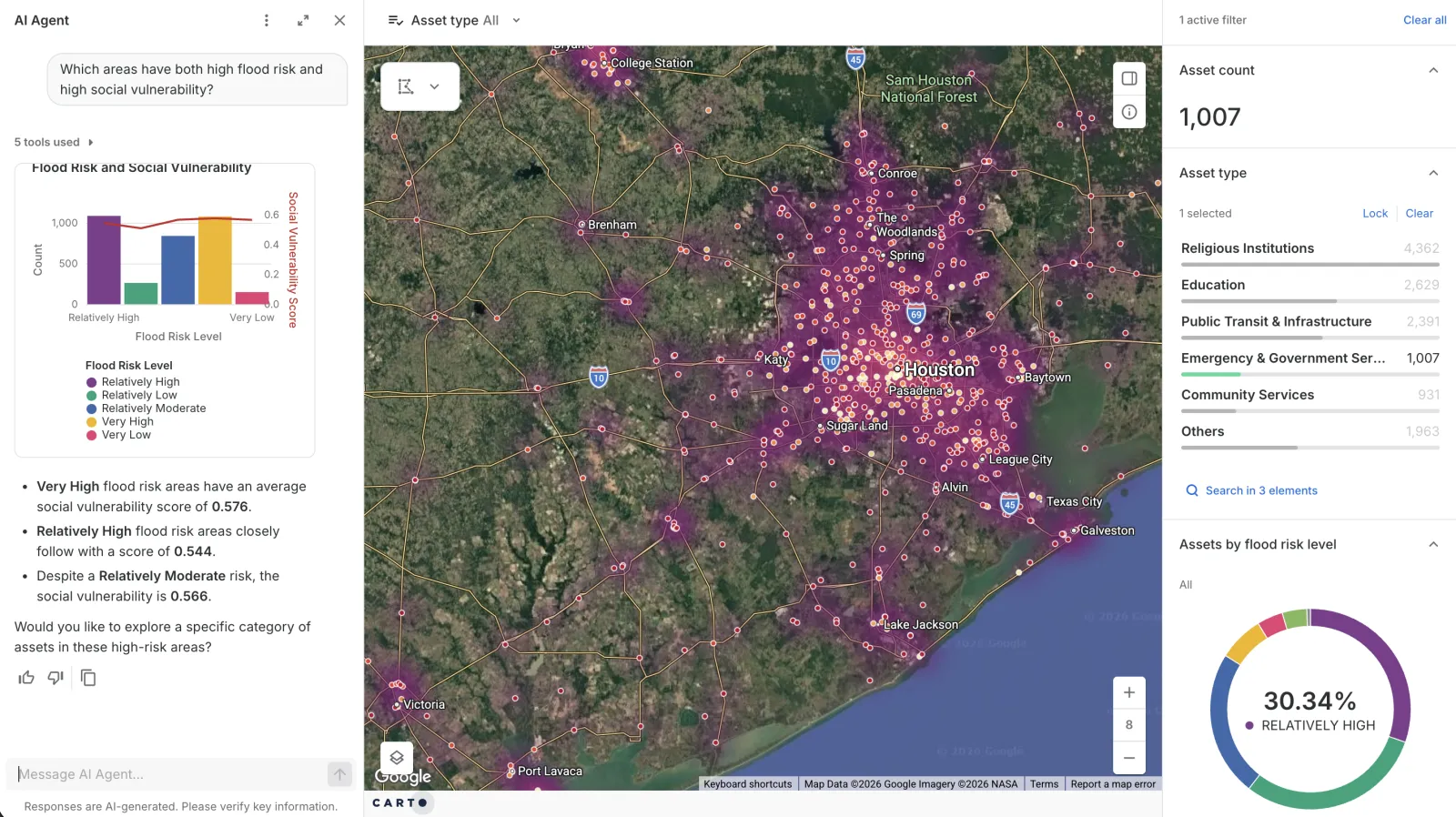
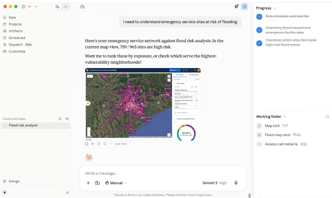
Public safety with CARTO AI Agents

How it works
Spatial analysis where your data already lives






Where public sector teams use CARTO
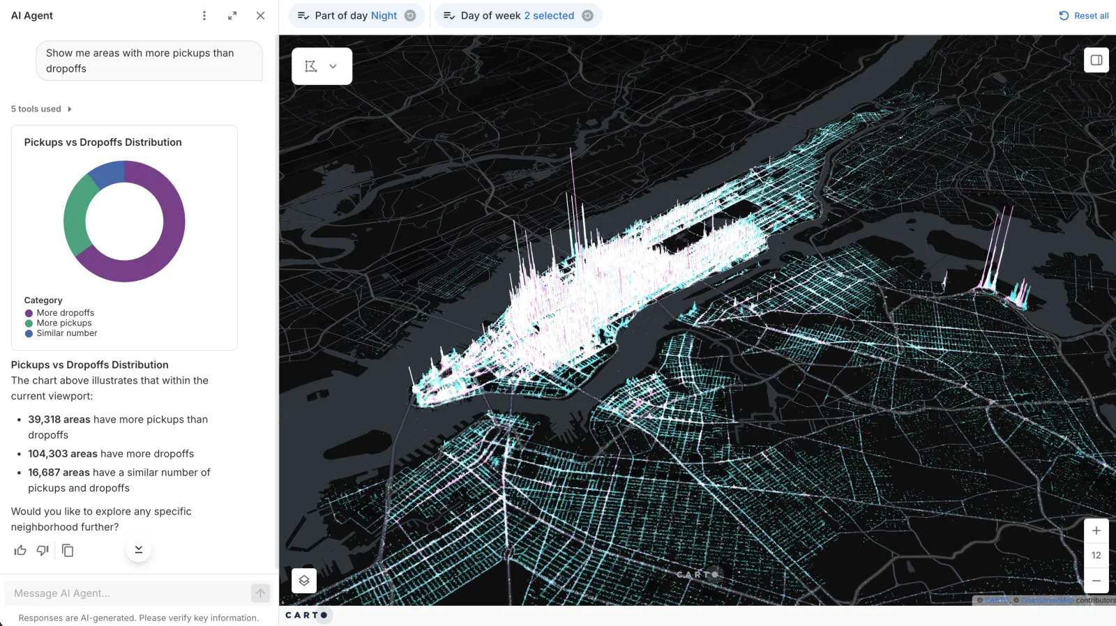
Mobility & Transportation Planning
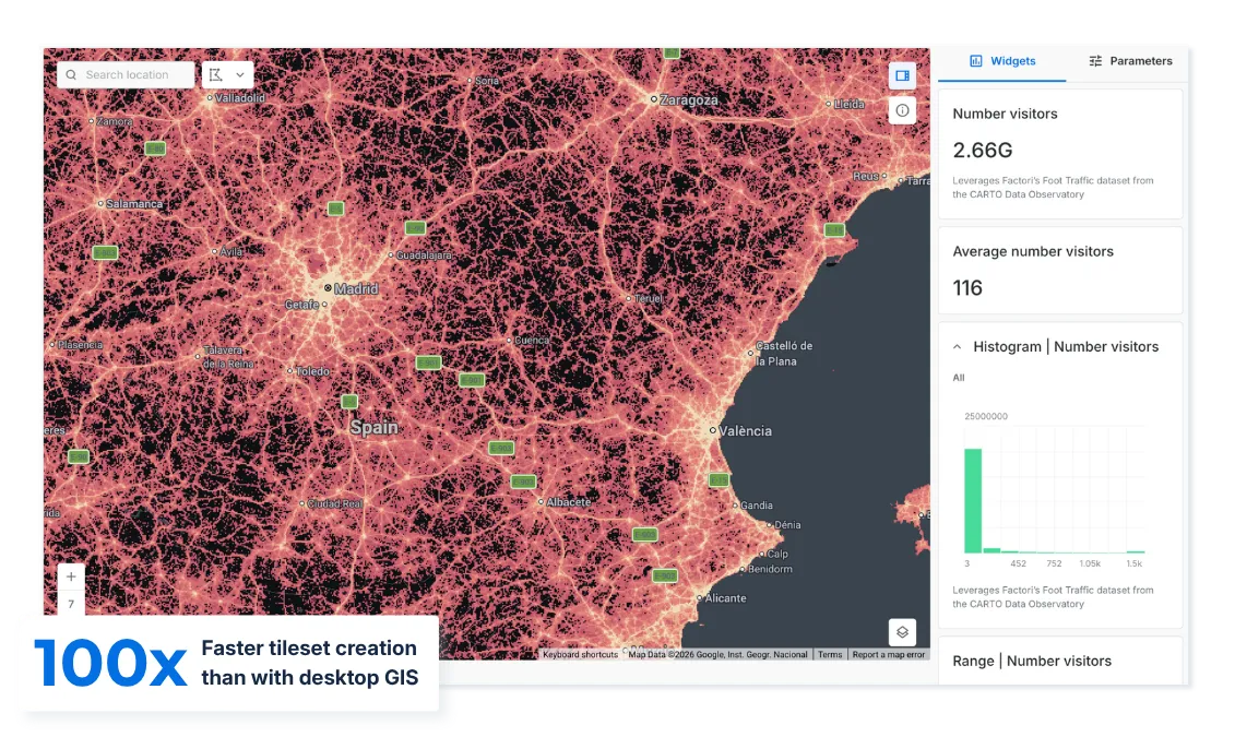
Understanding how people actually move takes more data and compute than legacy desktop GIS can handle.
CARTO analyzes billions of mobility and traffic records natively in your cloud warehouse, at a speed legacy GIS can't match — so cities act on real patterns, not samples.
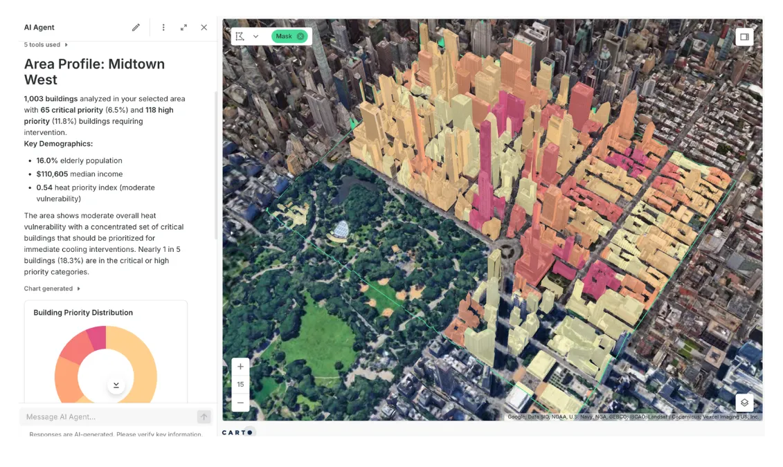
Climate Resilience & Environmental Management
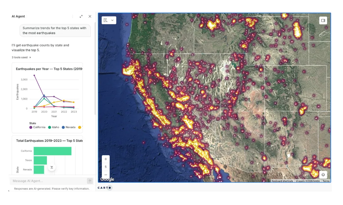
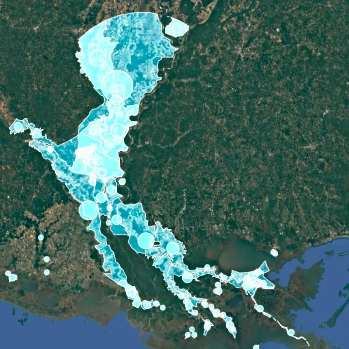
Climate and hazard risk shifts faster than static maps can keep up with.
Run live risk models natively in your own warehouse, at state-and-region scale — so risk analysis stays current, not just accurate on the day it was made.
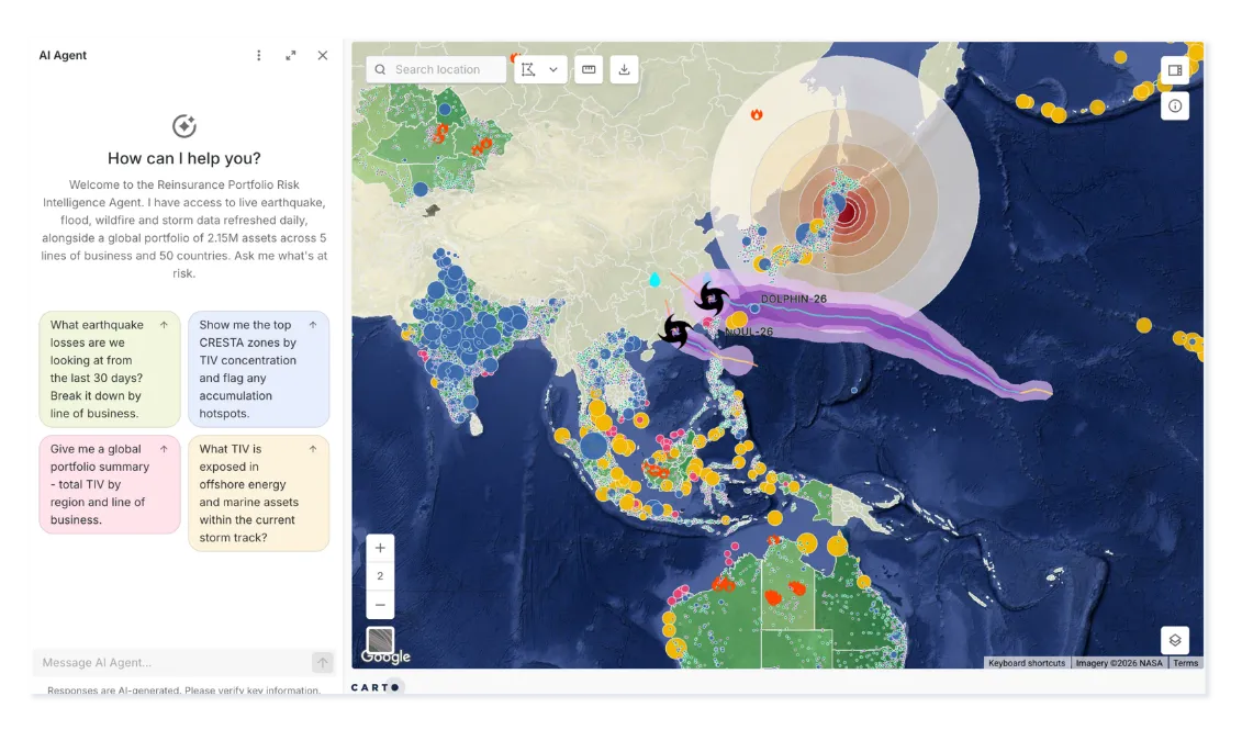
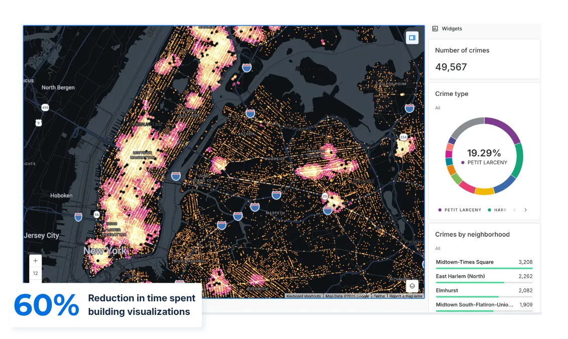
Public Safety & Emergency Response
Emergency response can't wait on a GIS analyst to build a map — but that's how most agencies still work.
With CARTO, turn incident, mobility, and infrastructure data into instant answers, right from your existing cloud, so any responder gets a live map, not a queue.
Urban Planning & Infrastructure Management
Planning stalls when agencies, consultants, and the public all work off different, outdated sources of truth.
With CARTO, everyone collaborates on the same live data, straight from your warehouse, and plans move at the speed of a conversation, not a file transfer.
Webinar
3 Ways Governments Can Better Serve Their Citizens With Spatial Analytics
Built for the jobs that can’t wait
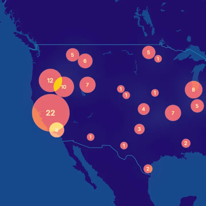
Emergency response
When minutes matter, give every responder a live answer, not a ticket in the queue.
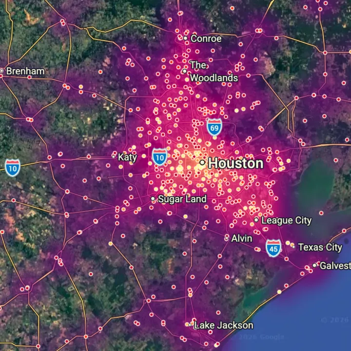
Climate and hazard risk
Know who flood, fire, and heat reach first, before the next event.
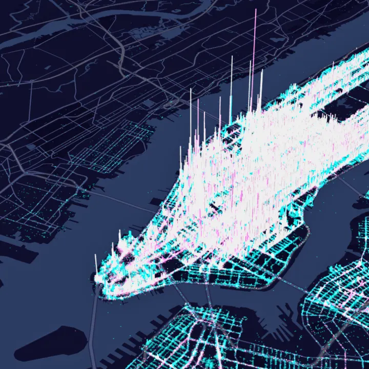
Transport and mobility
Plan safer, faster networks around how people actually move.
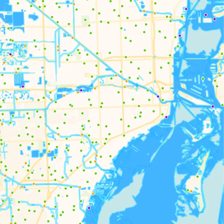
Planning and land use
Test growth, zoning, and development scenarios before you commit the budget.
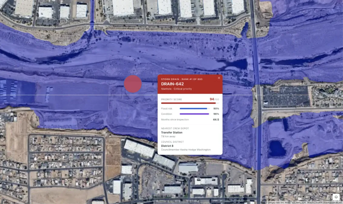
Infrastructure and assets
Put repairs and investment where condition, risk, and dependence are highest.
Public health and equity
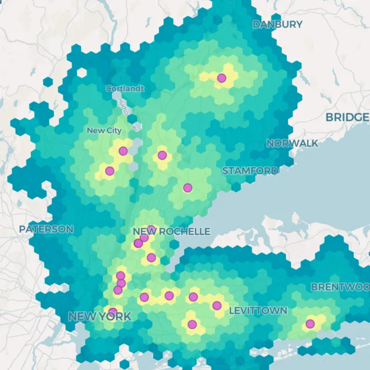
Find the communities with the poorest access, and send help where it counts.
Frequently asked questions
Yes. CARTO runs the analysis inside your existing cloud data warehouse — BigQuery, Snowflake, Redshift, Databricks, or Oracle. Data never moves, and the access controls, encryption, and audit logging your security and compliance teams already approved continue to apply unchanged.
For most analytical work, yes. Legacy desktop GIS requires specialist skills, separate environments, and manual data movement between systems. CARTO runs spatial analysis natively in the cloud data warehouse the agency already uses, so any staff member can get a live map or a spatial answer without waiting on a GIS analyst to build one.
Yes. With CARTO for Agents, these platforms can build maps, run workflows, and query your warehouse. They are bound by the same permissions as the user who connects them, and every action is logged. Learn more about CARTO for Agents.
Planners use GIS to map land use, zoning, transport networks, and demographics, then test how growth or new development would affect them. With CARTO, planners can run those scenarios as reusable workflows on live data and share the results as interactive maps with other departments and the public.
A smart city uses data from sensors, services, and infrastructure to plan and run the city better. Most of that data has a location, so spatial analysis is what turns it into decisions: where to add transit, which assets need repair, and which neighborhoods are most exposed to risk. CARTO runs that analysis inside the city's cloud data warehouse, so it stays current as new data arrives.