Mapping Agencies
Modernize your national geospatial infrastructure with a cloud-native, sovereign, and AI-ready platform, ensuring true architectural independence.


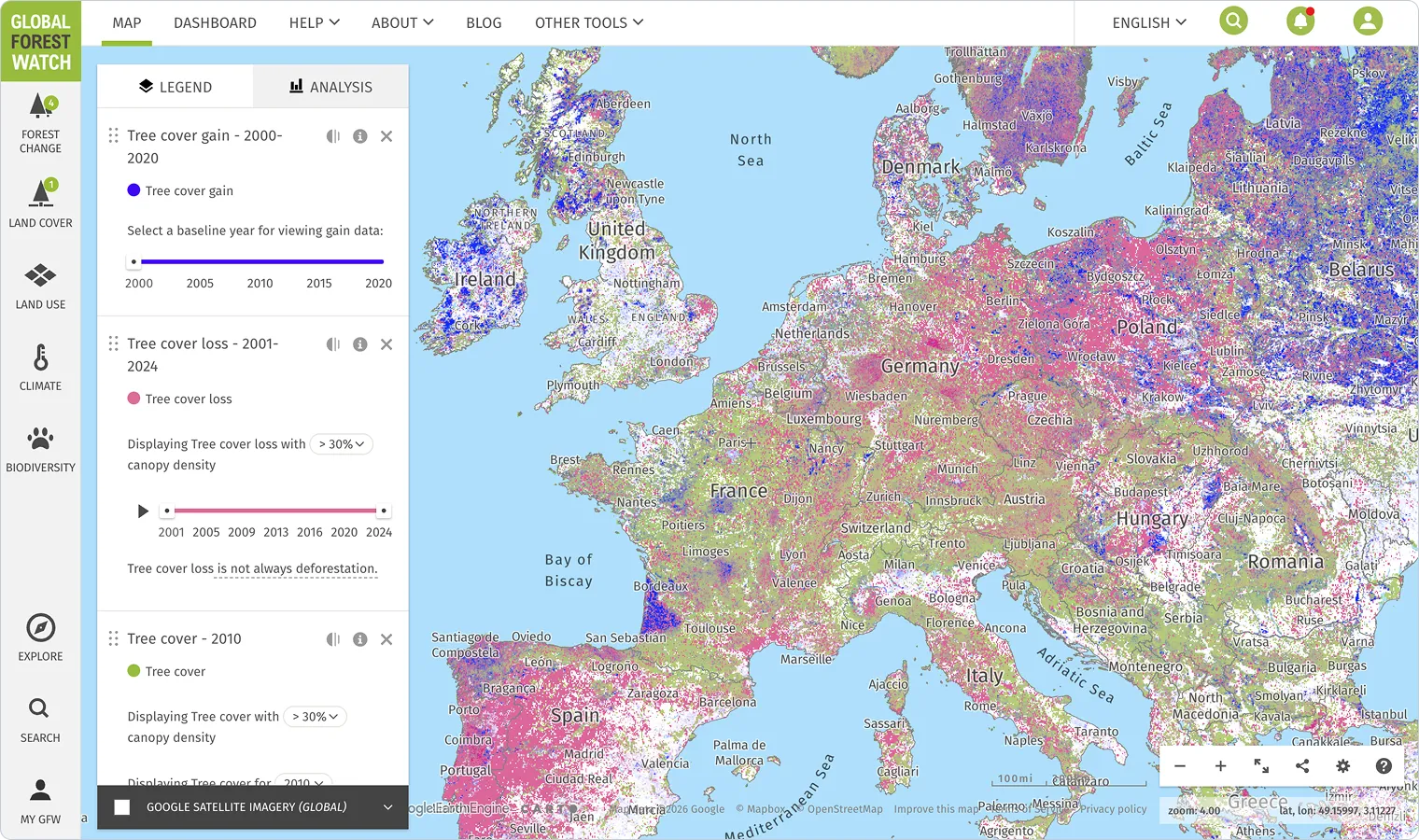
Publish & Serve National Data at Scale
Legacy services weren't designed for modern demands and often crash under the load from large-scale data consumers. Deploy scalable infrastructure to publish data in cloud-native formats and serve it through OGC APIs that meet the performance demands of the agentic era.
A Modern Alternative to Legacy GIS
Monolithic, proprietary GIS platforms create deep vendor lock-in, making it feel impossible to modernize your core workflows. Utilize an open, cloud-native platform for cataloging, analysis, and visualization that eliminates lock-in and keeps your data and architecture in your control.
Public-Private Partnerships & Cross-Agency Collaboration
Your valuable geospatial data is often invisible and unusable in the modern cloud data platforms that other governments and private sectors already use. Bridge the gap to the modern ecosystem, allowing you to publish data in cloud-native formats while scaling collaboration and partnerships without abandoning decades of investment overnight.

Deploy on Sovereign Infrastructure

Ready to Modernize Your National Geospatial Infrastructure?
Our team works directly with mapping agencies to design the right architecture — whether you're building a sovereign geospatial stack, modernizing your national geoportal, or preparing your infrastructure for the agentic era.
Frequently Asked Questions
Our platform is AI-agnostic, giving you full control. You can configure our AI agents to use major commercial models (like those from Azure OpenAI or Gemini Enterprise Agent Platform (formerly Vertex AI)) or even connect to your own custom or open-source models deployed in your sovereign environment. The choice of which AI powers your geoportal remains entirely yours.
CARTO's platform provides architectural sovereignty. This means you can deploy it anywhere — on a public cloud, a trusted sovereign cloud provider, or even on-premise. Your data remains in open formats on storage you control, and you choose the compute and AI services that process it. This layered approach separates your data from the application, eliminating vendor lock-in and ensuring true sovereign control.
You can adopt CARTO modularly. Whether you want to start by modernizing your geoportal with an AI-powered interface, creating scalable APIs for your national datasets, or using our platform for advanced spatial analysis, you can begin with the component that solves your most immediate need and expand from there.
We are at a unique inflection point driven by three major shifts. First, the rise of AI means users now expect to get direct answers from data, not just browse map layers. Second, data sovereignty has become a critical national priority, making dependency on single foreign vendors a significant risk. Finally, legacy infrastructure is already failing to meet the performance demands of modern cloud platforms and AI agents. Acting now is a once-in-a-generation opportunity to align your national geospatial strategy with the modern technology landscape.