SEE IT IN ACTION
Agentic GIS for Retail
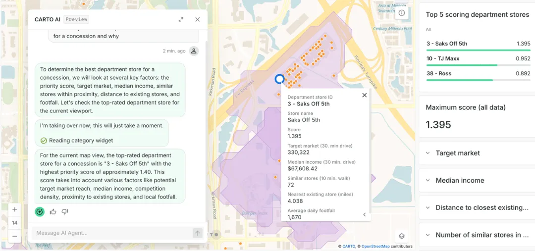
Watch how retail teams move from a single question to a prioritized plan in minutes. Site planning, geomarketing, and supply chain answers run inside your cloud data warehouse.
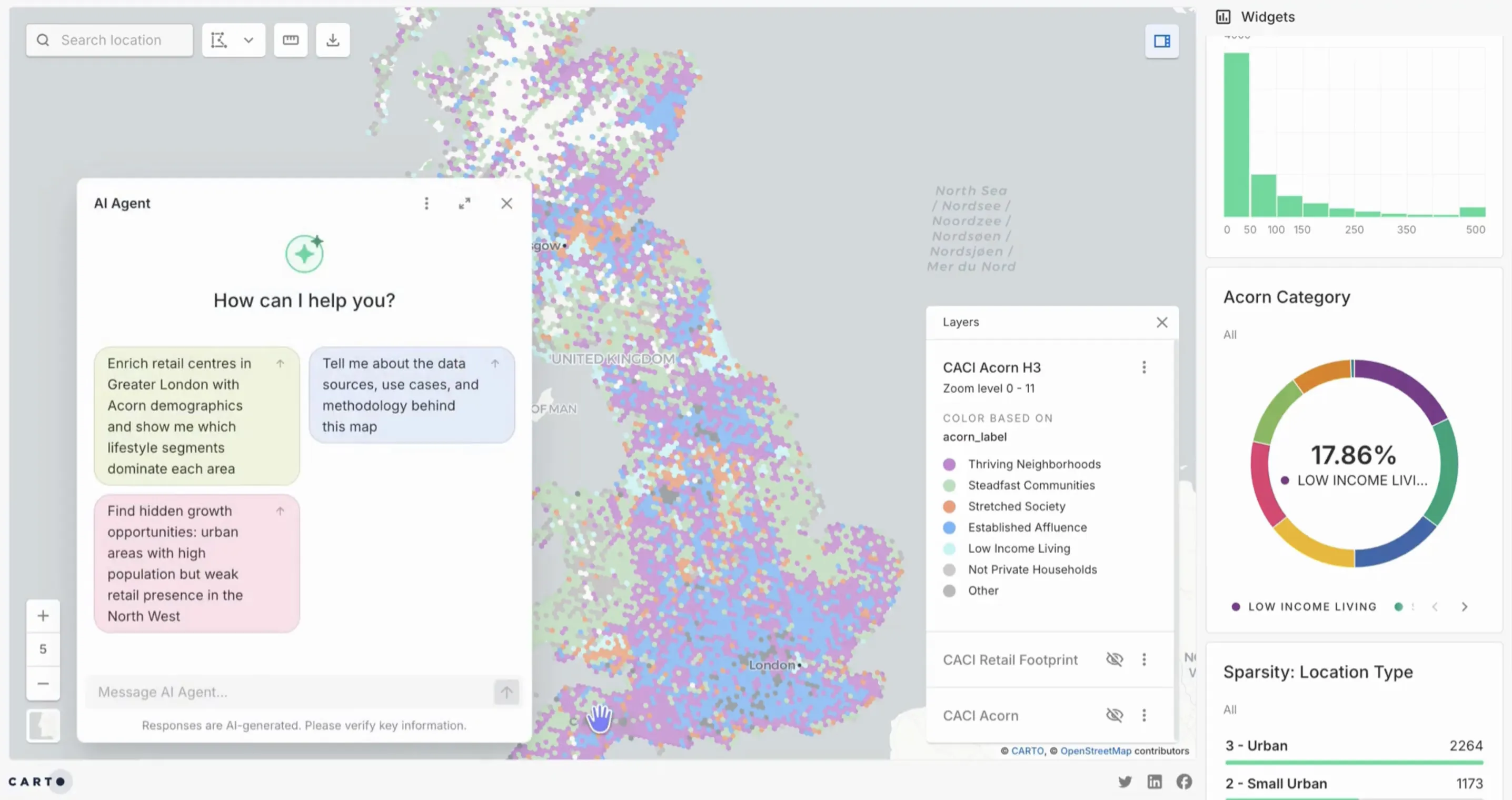





From a plain language question to a ranked UK retail expansion plan

Why retail teams are moving to Agentic GIS

1,500 hours saved per analyst, every year
Analysts lose 19% of their time on data evaluation and 34% on prep work. CARTO runs spatial analysis where the data already lives, so the team works on the question instead of the pipeline. Source: IDC and salary.com.

10 to 30% leaner marketing spend
Retailers running effective personalization see a 10 to 30% gain in marketing spend efficiency. Agentic GIS makes the same audience and trade area work practical for any merchandiser or marketer to run, without a specialist in the loop. Source: McKinsey.

Up to 20% retail sales uplift from geospatial analytics
Retailers using geospatial analytics for site selection, network optimization, and trade area work have unlocked up to 20% in additional sales. CARTO AI Agents put that same analysis in reach of every retail team, not just the GIS specialist. Source: McKinsey.
How Agentic GIS works
Run spatial analysis where your data lives
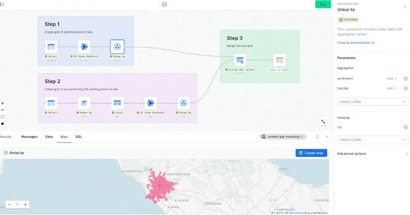
CARTO AI Agents push the geospatial analytics work down to Snowflake, BigQuery, Redshift, Azure, Databricks, or Oracle. Data never moves, governance stays intact, and the answer comes back in minutes.
Pick yours to learn more






Ask in plain language
Your team types a question in natural language. "Where should we open our next store in Madrid?" or "Which catchments cannibalize the most if we close two locations?" No SQL, no specialist GIS skills required.
Share a plan, not a map
The Agent surfaces ranked candidates, revenue and footfall estimates, cannibalization risks, and a recommended timeline. Hand it to the real estate, merchandising, or operations team ready to act.
Frequently asked questions
CARTO AI Agents act like GIS specialists for the rest of the team. They take a question in plain language, run spatial analysis directly inside Snowflake, BigQuery, Redshift, Databricks, or Oracle, and return a ranked plan with the cost, risk, and timeline behind it. Use cases include site planning, geomarketing, trade area analysis, and supply chain optimization.
Yes. A CARTO AI Agent can identify expansion or consolidation candidates in a market, predict revenue impact for a candidate site, model the customer impact if a store closes, and propose a transition plan. The work runs against the retailer's own data, so the result reflects the actual customer base and store network.
Yes. CARTO runs spatial analysis inside your cloud data warehouse. Data never moves, your governance setup stays in place, and you can use your own vetted LLMs and endpoints. The platform inherits the security controls already approved by your security and compliance teams.
Traditional GIS tools require specialist skills, separate environments, and often manual data movement between the warehouse and the GIS platform. Agentic GIS removes those steps. AI Agents pull spatial data, run the analysis, and return the answer next to the commercial data your teams already work with. A merchandiser, marketer, or real estate analyst can ask the question and get the answer in plain language.
The most common spatial analytics use cases in retail are site selection and network planning, trade area and cannibalization analysis, geomarketing and OOH targeting, customer segmentation, and supply chain and last-mile optimization. CARTO's geospatial AI covers all of them inside the same warehouse environment, with the same set of AI Agents.