


Two ways to start with CARTO
Align your spatial operations with actual demand
Not every enterprise system requires a rigid, multi-year upfront commitment. Pay As You Go provides full, production-ready access to CARTO's entire platform from day one, with costs that scale with your actual usage.
It is built for modern teams that prioritize operational flexibility, allowing you to pay based on what you actually use rather than lock into a fixed annual quota. Ideal for production applications with variable usage, automated data processing pipelines, and development teams running continuous integration/continuous deployment environments.
- Production applications with variable or unpredictable user traffic.
- Continuous integration (CI/CD) and ongoing, automated application testing.
- Data engineering workflows with fluctuating processing demands.
- Growing teams and startups establishing their permanent spatial data architecture.
Scale with confidence on a committed plan
Committed Tiers are designed for organizations that need predictable costs, enterprise-grade governance, and a platform that scales with their spatial analytics ambitions. Pay upfront annually and unlock dedicated support, SLAs, and higher usage quotas.
Choose from Enterprise, Strategic, or Custom depending on your team size, deployment needs, and usage volume. All three include the full CARTO platform.
- Business units running production spatial analytics
- Enterprise teams requiring SSO, audit logs & SLA
- Multi-departmental or organization-wide deployments
- Teams with high or predictable usage volumes
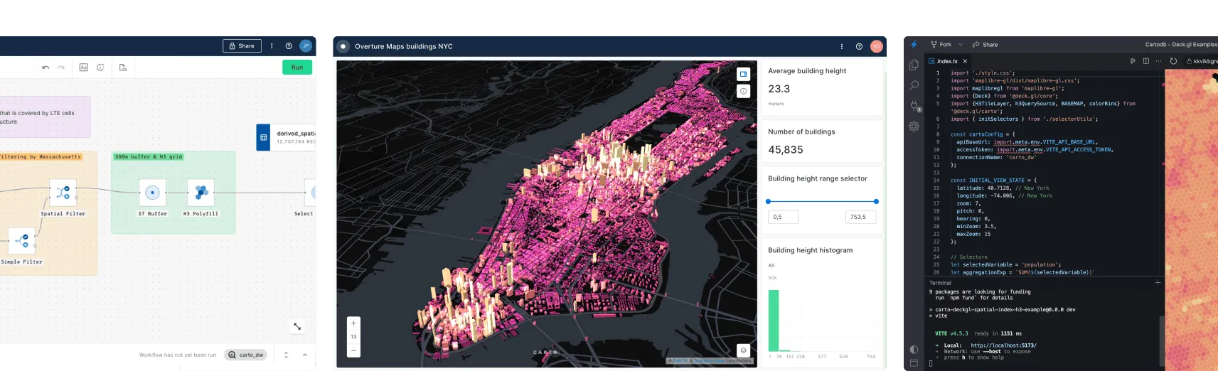
Access all components of the platform

AI Agents
Build and deploy AI Agents to perform complex geospatial tasks using natural language, for instant, actionable insights — accessible to everyone in your organization.

Analytics
Empower everyone with hundreds of low-code, drag-and-drop tools to simplify, automate and accelerate spatial analysis — including the Analytics Toolbox and Workflows.

Visualization
Create rich, dynamic visualizations from billions of data points with ease, directly from your cloud data warehouse — using CARTO Builder.

App Development
Benefit from enterprise-grade, framework-agnostic development. Use powerful APIs and native deck.gl support — no ETLs, backend APIs or data replication needed.

Data Observatory
Access more than 12,000 ready-to-use, curated datasets directly in your data warehouse — sourced from the world's leading spatial data providers.
Fast-track your project with our expert Support and Professional Services


Frequently asked questions
Pay As You Go has no upfront commitment — you pay monthly based on what you consume. Committed Tiers (Enterprise, Strategic, Custom) are paid upfront annually and include a fixed usage quota, enterprise security and governance features, SLA coverage, and dedicated support.
Yes, at any time. Contact our sales team and we'll migrate your account, including any data and configurations, to your chosen plan with no disruption to your work.
Usage units are tracked the same way as on Committed Tiers — covering workflow runs, map loads, analytics API calls, and other platform operations. Each action has a weighted unit cost. Location Data Services (geocoding, routing) are billed per operation. You can monitor your usage in real time from the platform dashboard, and set spend alerts to avoid surprises. For more detail, see our quota management documentation.
Our free 14-day trial gives you access to all CARTO components, including demo datasets, maps, and a CARTO Data Warehouse instance. Trials are for evaluation purposes only — production use is not permitted during a trial period. We do not extend free trials. If you need to evaluate against large, complex datasets or multiple use cases, request a demo for an assisted trial. At the end of a trial you can move to Pay As You Go or choose a Committed Tier.
Yes. CARTO supports marketplace billing on Google Cloud, AWS, Azure, and Snowflake — for both Pay As You Go and Committed Tiers. This simplifies procurement and lets you draw down existing cloud spend commitments.