SUCCESS STORIES
EDP
Client Challenge
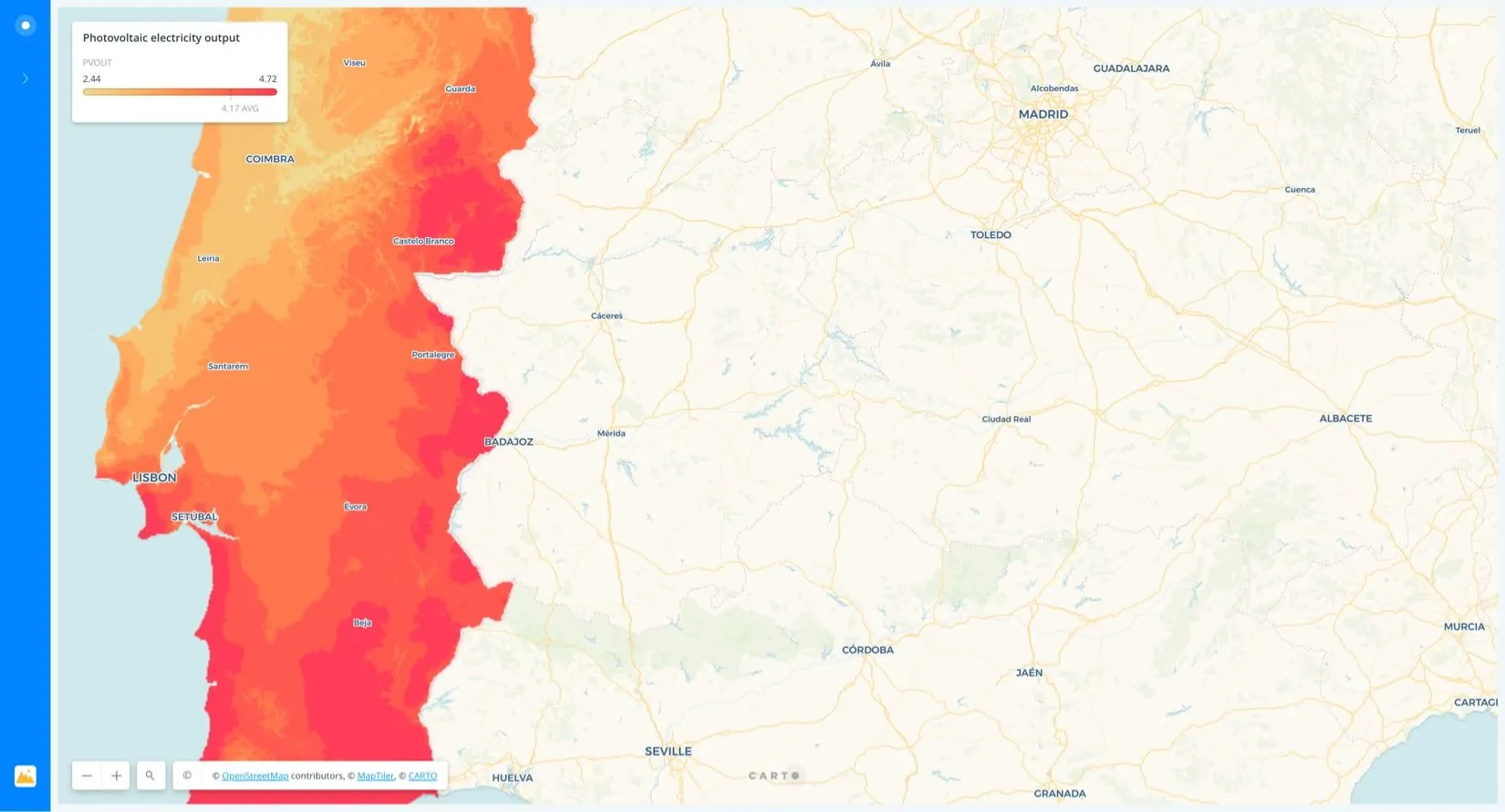
EDP wanted to maximize new solar panel installations with spatial models to identify areas with the highest customer propensity in order to target geomarketing campaigns.
CARTO's Solution
Using Random Forest (RF) models & KMeans we were able to calculate expected installation numbers at postcode granularity, using socioeconomic & climate data to enrich existing internal CRM data.
SUCCESS STORIES
Vodafone
Client Challenge
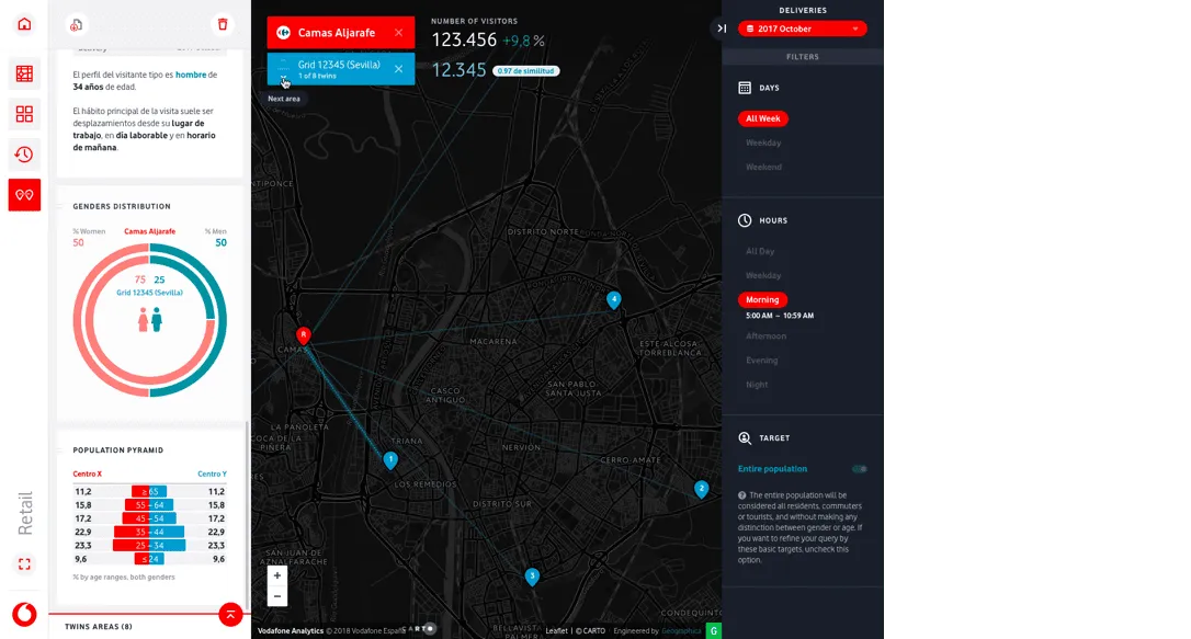
Vodafone wanted to include twin area functionality in their Vodafone Analytics solution, allowing their B2B clients to identify similar behaviour patterns by location using footfall data.
CARTO's Solution
Our Data Science team developed a similarity score, calculating the distance between cells with a L2 norm on a principal component space - tackling missing values following an ensemble probabilistic approach.
SUCCESS STORIES
Gallatin Association of
REALTORS
Client Challenge
Gallatin County (Montana) wanted to provide precise information about land water rights and available wells for Real Estate operations.
CARTO's Solution
An intuitive solution for all members of their Real Estate association in which they can explore and navigate across different counties, pulling information about parcel owners.
SUCCESS STORIES
Tempo
Client Challenge
Understand how customers move in shopping malls, allowing them to find products and stock availability, guiding them to their favorite brands (e.g. offering them help from a shop assistant).
CARTO's Solution
Two mobile apps using indoor maps and analytics in which customers get the fastest route to their destination, or where they can get customized offers based on their purchase records.
What enterprise organizations face today...

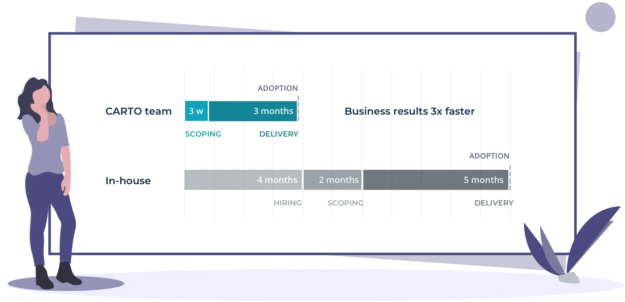
Ramping up a team to solve complex problems spatially at the pace that business needs dictate is challenging.
In particular, Spatial Data Scientists are hard to find: there are 4 Data Science job postings for every Data Scientist in the market.
Limited geospatial expertise to scope, define, and deliver complex projects.


How CARTO can help

Our data scientists, geographers, computer scientists, designers, and engineers have over 180 years of combined experience solving geospatial problems across the globe.
Our 25-strong team of Spatial Data Science experts are ready to hit the ground running.
With over 80 Enterprise organizations served, our team knows what it takes to unlock the power of spatial analysis and can fast track your projects.

Our Packages
Whatever the maturity of your organization, or the nature of
your use case - our team can help:


Accelerate your time to value
Our Professional Services team allows you to fast-track strategic geospatial projects, no matter the scope of your challenge, using CARTO's stack for advanced Data Science projects or even developing customized apps.

Quickstart programs
Solution programs
Custom engagements
Our Specialists
Paula leads our Professional Services team, having delivered web-based Location Intelligence solutions for over a decade to brands such as Renault, Globalia, Vodafone, DPD & Telefonica. She is experienced in turning complex customer needs into intuitive business solutions.

Paula Juliá
VP Professional Services
Passionate about solving spatial problems, Cayetano has extensive experience in open source geo technologies working with technologies such as GDAL, PostGIS & much more. Cayetano has architected cutting-edge solutions for clients such as El Corte Ingles.

Cayetano Benavent
Senior Consultant
Having designed hundreds of geospatial applications for clients such as Renault, DPD and Vodafone, Jose is an expert in creating compelling user experiences - considering the many nuances of enterprise use cases in different territories.

Jose Gil
Design Lead