



Talk to us
Speed up your spatial analysis
Schedule a 20 minute meeting with our experts to understand how you can use geospatial.
To submit an
RFP, please send an email to rfp@carto.com.







Get inspired by our customers

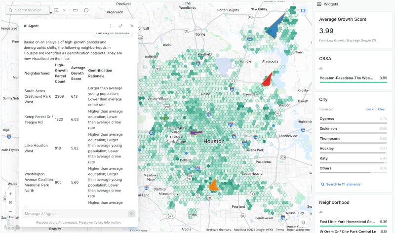


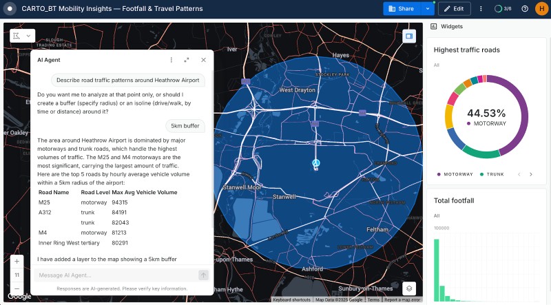


Cloud native geospatial analytics at scale
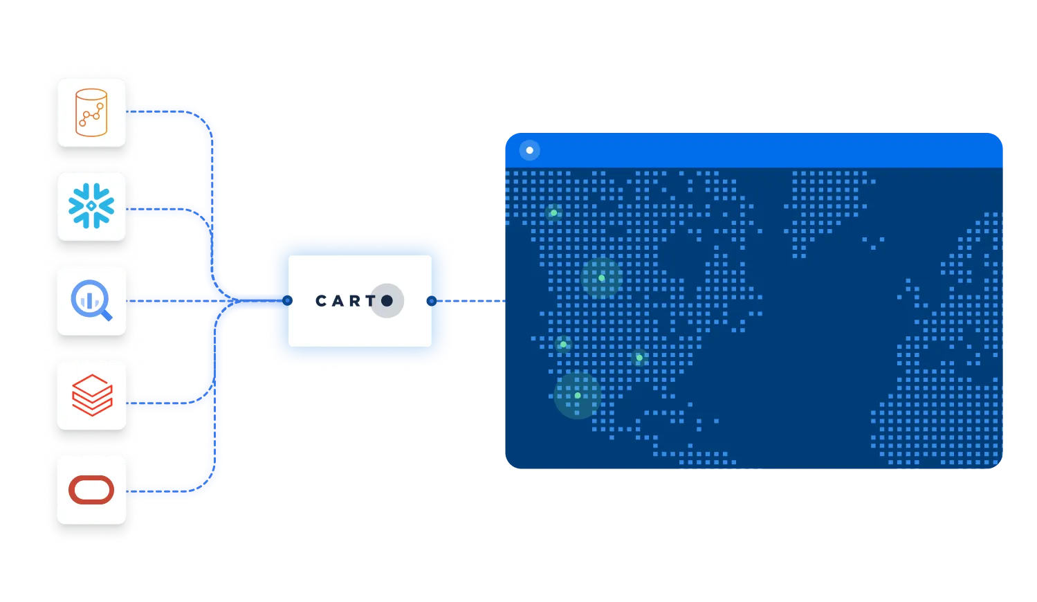
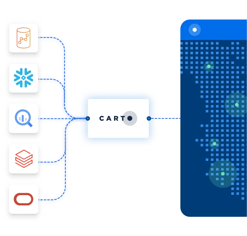
CARTO extends the analysis and visualization capabilities available in BigQuery, Snowflake, Redshift, Databricks, Oracle, and more. No need to pull data into our platform, unlike other Business Intelligence or modeling tools. Access a single, secure source for all your data giving you speed and agility, with no limits on data scale.
Access all components of the platform

AI Agents
Build and deploy AI Agents to perform complex geospatial tasks using natural language, for instant, actionable insights — accessible to everyone in your organization.

Analytics
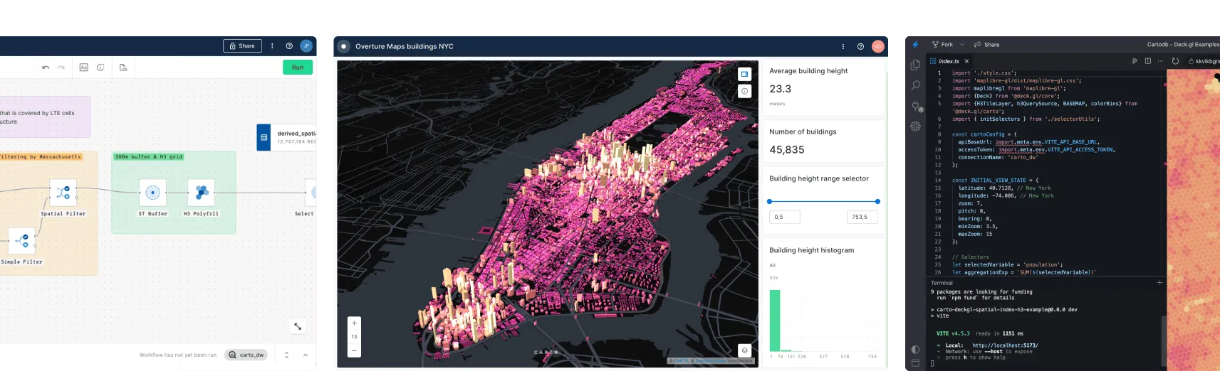
Empower everyone with hundreds of low-code, drag-and-drop tools to simplify, automate and accelerate spatial analysis — including the Analytics Toolbox and Workflows.

Visualization
Create rich, dynamic visualizations from billions of data points with ease, directly from your cloud data warehouse — using CARTO Builder.

App Development
Benefit from enterprise-grade, framework-agnostic development. Use powerful APIs and native deck.gl support — no ETLs, backend APIs or data replication needed.

Data Observatory
Access more than 12,000 ready-to-use, curated datasets directly in your data warehouse — sourced from the world's leading spatial data providers.
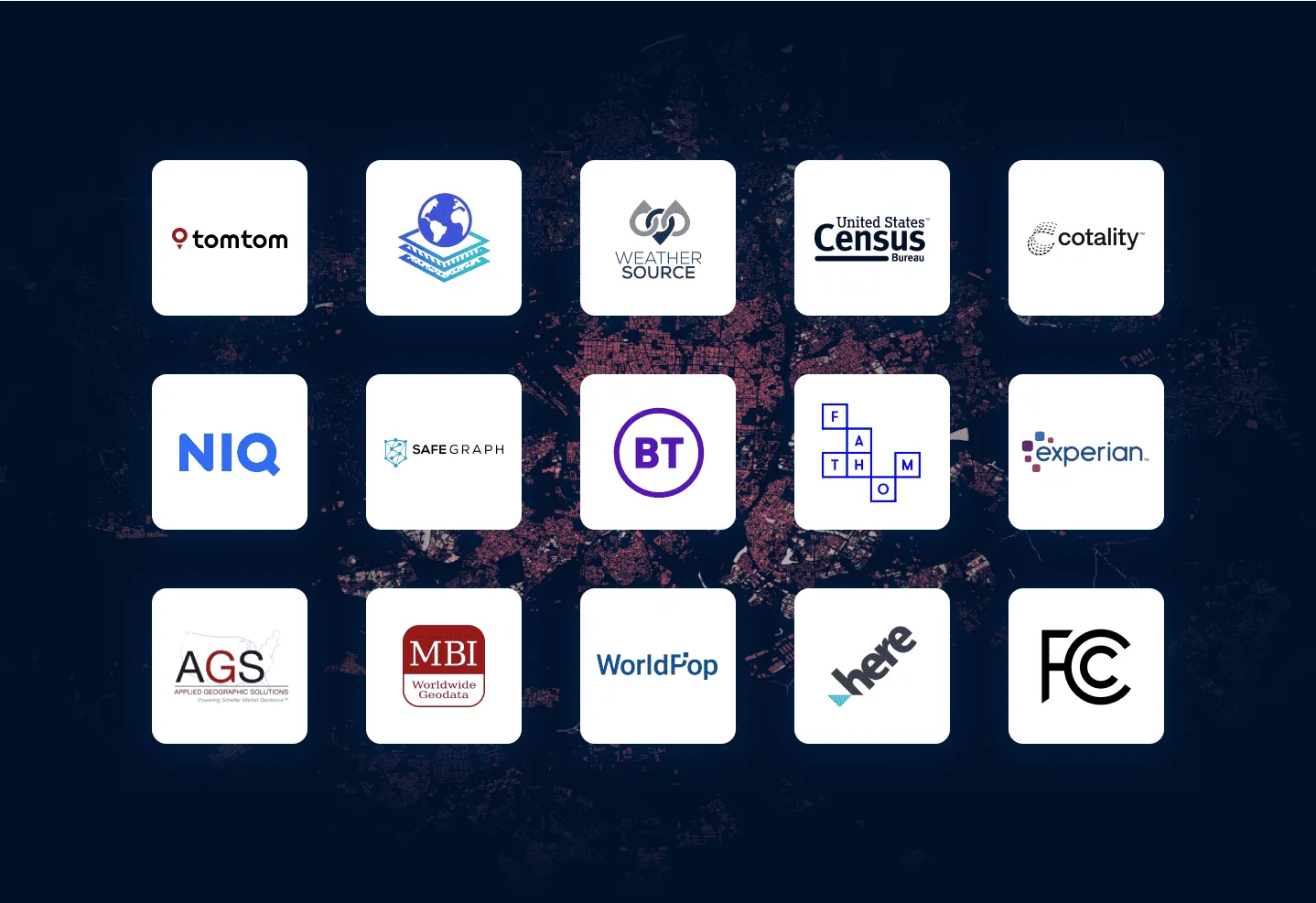

More than 12,000 datasets to enhance your analysis
Sourcing and managing high-quality spatial data wastes 60% of a typical analyst’s time. With CARTO’s Data Observatory, access thousands of ready-to-use, curated datasets directly in your data warehouse.