Routing software
Routing analysis, centralized
Different tools, different copies of the data, different answers. Run routing from your warehouse, so every team is working from the same source of truth.
Get inspired by our customers



CARTO provides Aramex with a Location Intelligence platform that enables us to make data-driven decisions effectively. The spatial view offers a distinct perspective compared to the traditional numerical approach, helping us understand the data differently and gain insights that would be challenging to obtain otherwise.

How CARTO helps
Every route, in your cloud

One source of truth
Routes and travel times run from your warehouse and land straight back in it. No governance or migration headaches.

Your routing, your way
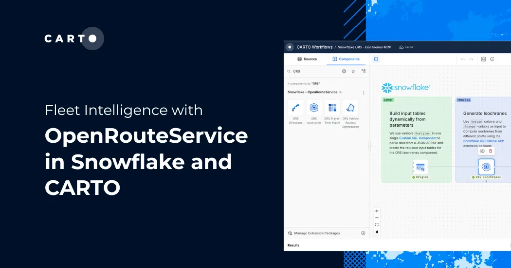
Pick a provider, then run routing analysis in Workflows, SQL, or the API.

Insights for everyone
Share analytics with the people who need it: they open a map or ask an AI Agent for answers, no GIS skills required.
Routing in CARTO
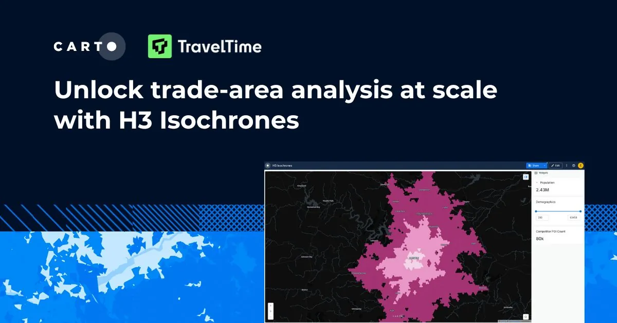
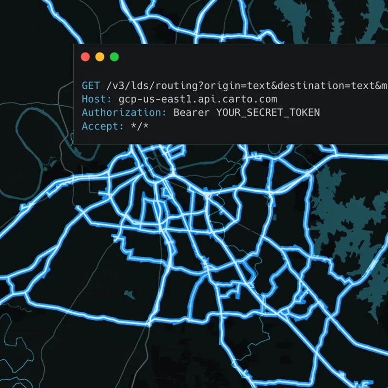
Run routing analysis from your data warehouse, with road network data from HERE, TomTom, and TravelTime. Results go straight into your own tables.


How you can use routing


Beyond routing APIs and network analysis tools
Routing without the round trip
A routing engine or API sits outside your data, so every analysis starts with an export and ends with a pipeline to maintain. Desktop network analysis needs a network dataset and an analyst, and the answers stay in the GIS. CARTO lets you run routing from your warehouse and writes the results back, so every team works from the same data.

CARTO
You run routing from Workflows or SQL in your warehouse. CARTO sends the coordinates to the routing provider and writes the results back as tables, with no export or pipeline to build.
Routing engine or API
You export locations, send them to the API, and load the results back in.
Desktop network analysis
You load your data and a road network into the desktop GIS first.
CARTO
You manage your analysis pipelines. CARTO lets you call the routing provider without managing the connection, and the provider keeps the road network current.
Routing engine or API
You maintain the scripts and pipelines that move data in and out.
Desktop network analysis
You keep a road network dataset up to date and manage software licenses.
CARTO
You publish self-service maps, dashboards, apps, or MCP tools, so anyone can get a route within the limits you set.
Routing engine or API
Getting a route takes someone who can write code against the API.
Desktop network analysis
Every request waits in line for a GIS specialist with the software and skills to run it.
Routing analysis in action
Incident scenarios
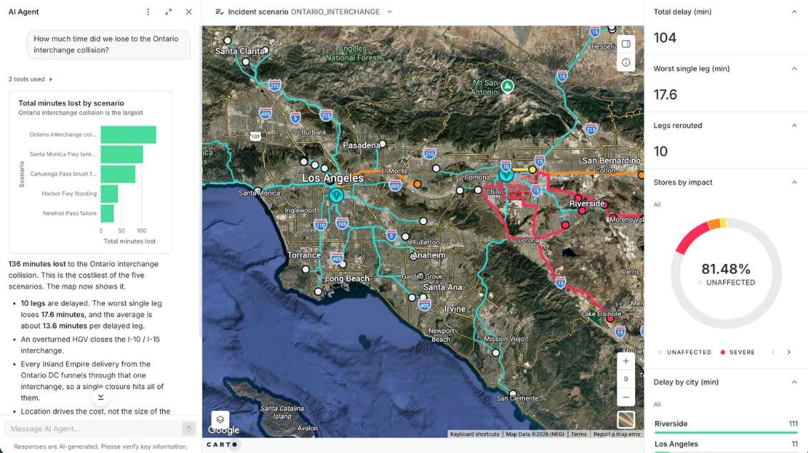
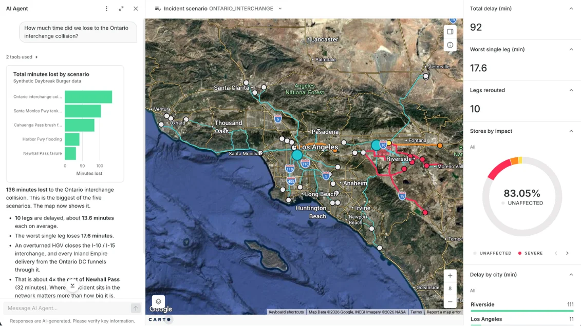
Test what-if road closures across a delivery network, and an AI Agent reports how many delivery minutes each one would cost and which stores would be hit hardest.
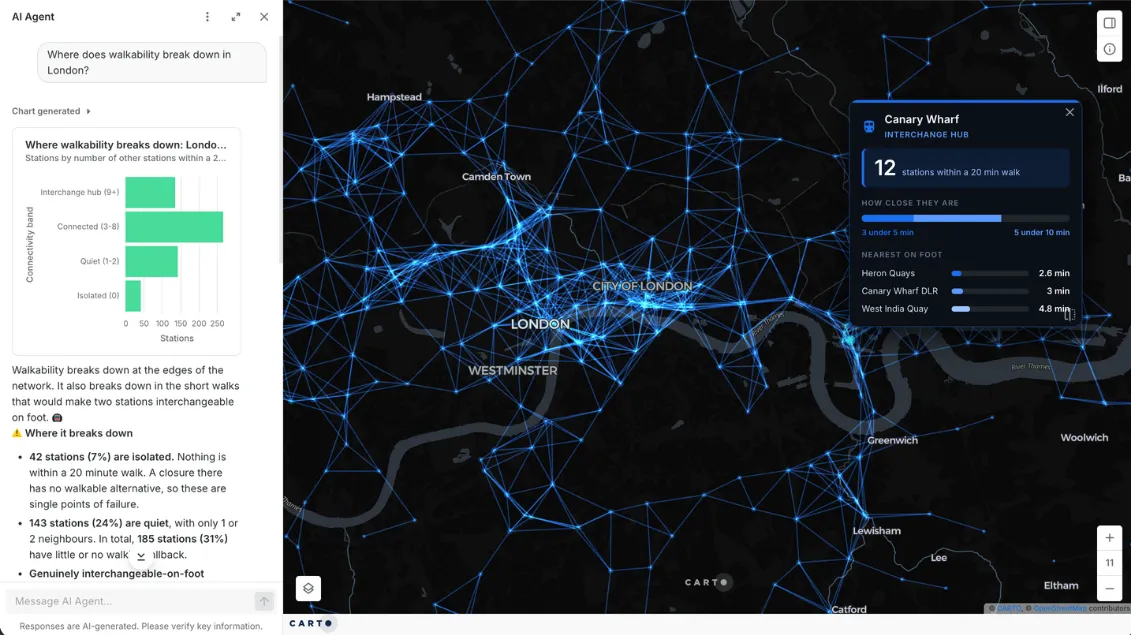
Transit walkability
An AI Agent measures real walking times between every London station to find where the network breaks down, including 42 stations with no walkable alternative if they close.
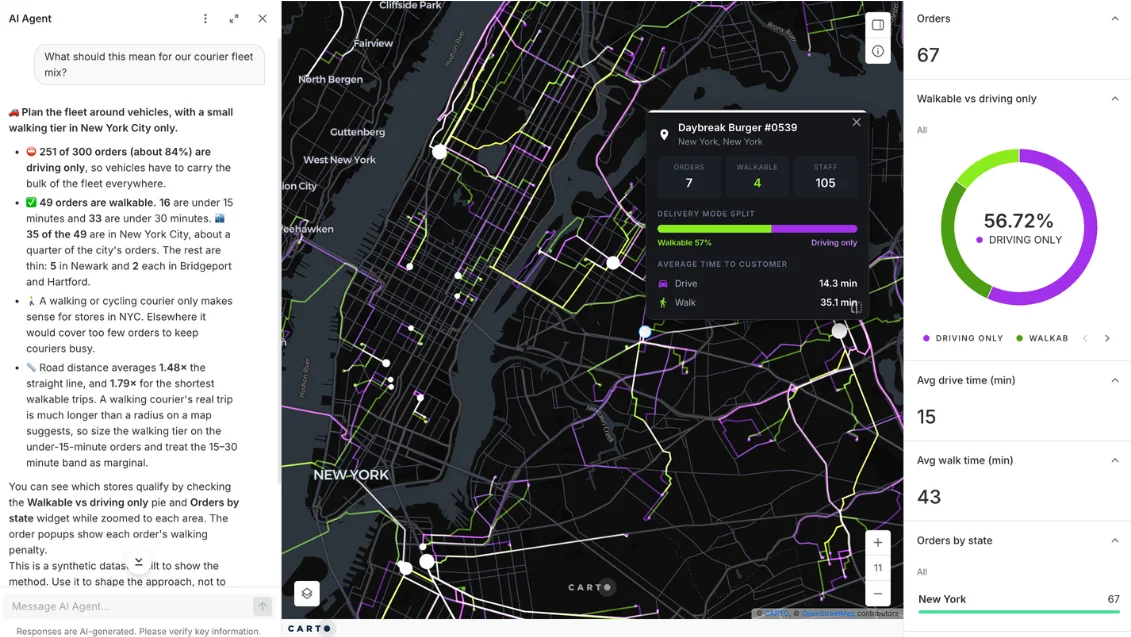
Courier fleet planning
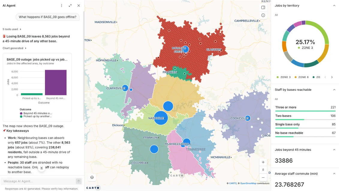
An AI Agent compares real walking and driving times for every delivery order to show where a walking courier tier makes sense and where vans have to carry the load.
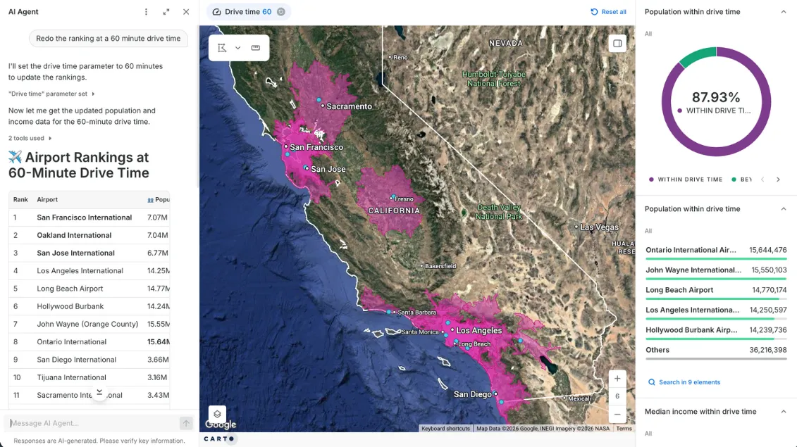
Airport catchments
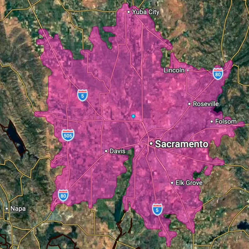
An AI Agent ranks California airports by the population and income within a set drive time, and redoes the ranking when you change the drive-time parameter.
Frequently asked questions
A routing API or in-house engine sits outside your data: you export locations, call it, then bring the results back and keep the pipeline running. With CARTO, you run routing from your warehouse: CARTO sends the coordinates to the provider and saves the results back, so every team works from the same data, with routing next to the rest of your analysis: enrichment, scoring, and spatial statistics. Routing still runs on dedicated providers such as HERE, TomTom, and TravelTime.
For routes, travel-time matrices, and drive-time areas across many locations, yes. With CARTO, there is no network dataset to build and no extension to license, and the results land in your warehouse as plain tables. For specialized network modeling on your own custom network dataset, keep ArcGIS alongside CARTO.
CARTO routing runs on HERE, TomTom, and TravelTime. Modes and options vary by provider, and the API reference lists them.
CARTO is designed so you don't need specialist GIS skills, and it's used by GIS professionals, data scientists, analysts, developers, and more. You can also publish your routing analysis as self-service maps, dashboards, apps, AI Agents, or MCP tools, so the people you share it with can get routing answers without any GIS skills.
Routing analysis calculates routes and times for many locations, so you can plan a network, like which depot serves each customer. Route optimization sequences stops and dispatches vehicles each day. CARTO is built for the first.
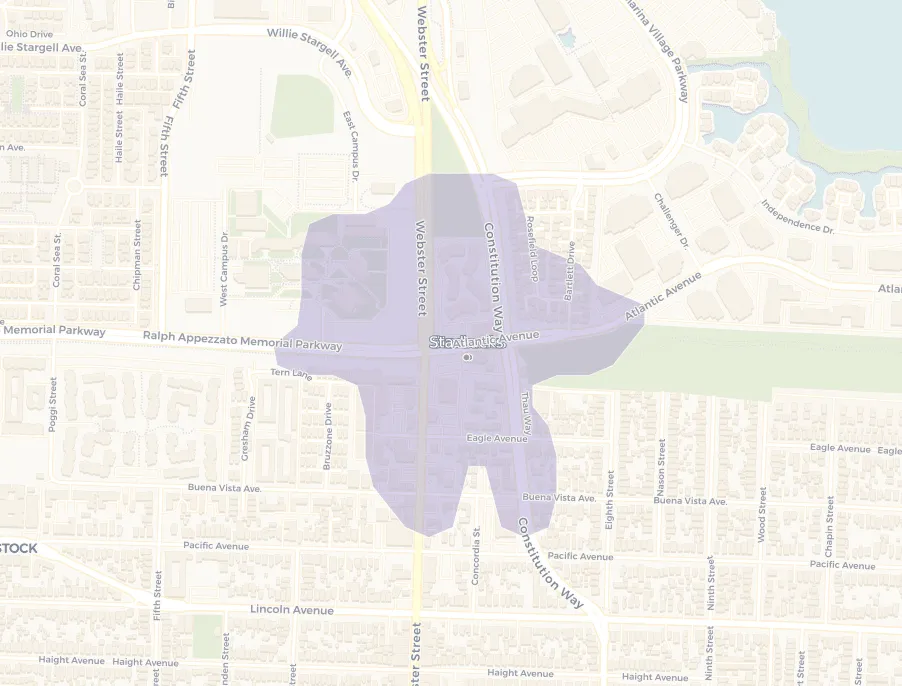
Software that finds the fastest or shortest way between locations, and tells you how long and how far. Run across a whole network, it shows which depot reaches which customer, and where service falls short. In CARTO it runs from your cloud data warehouse, alongside the rest of your spatial analysis in Workflows.