.webp)
Fraud Detection
Whether it’s insurance, financial or healthcare, your fraud detection machine learning workflows are likely relying on spatial data to provide “footprints” of fraudulent behavior.


Identify anomalies faster
Many businesses admit to 4 - 5% of their revenues being lost due to fraudulent transactions, which is why so many organizations are investing in Data Science & Machine Learning engineers with expertise in spatial analysis to reduce the impact.
Using CARTO, those teams can power their models with more location data - providing visualizations that allow your organization to detect anomalies faster.
Overlay relevant data streams
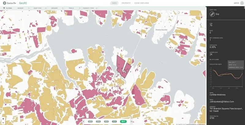
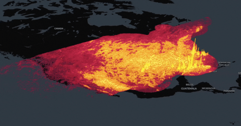
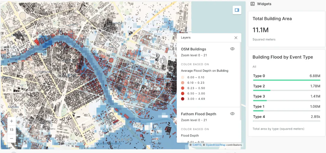
Using spatiotemporal datasets relating to weather & natural disasters allows fraud detection experts in the insurance industry to identify fraudulent claims faster, reducing the strain on their inspector networks.
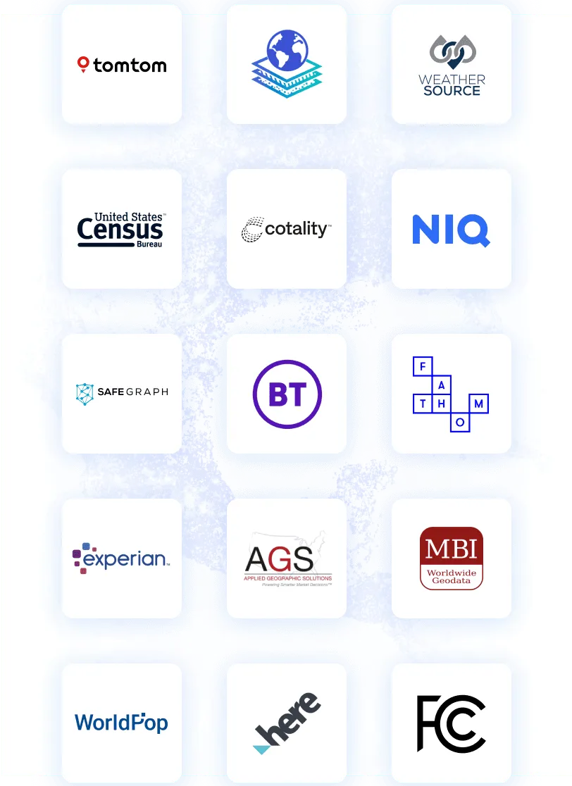
Whether it’s roof repair, vehicle damages, crop fraud or flood impact - our Data Observatory allows you to enrich with data from providers such as WeatherSource with just a few lines of code.
Predict & detect environments for fraud
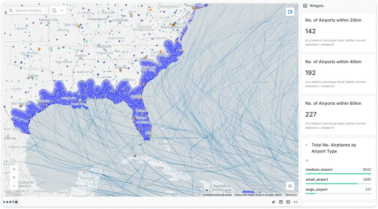
The most advanced organizations aren’t just identifying fraudulent claims, they are predicting where employee or customer fraud is most likely to happen.
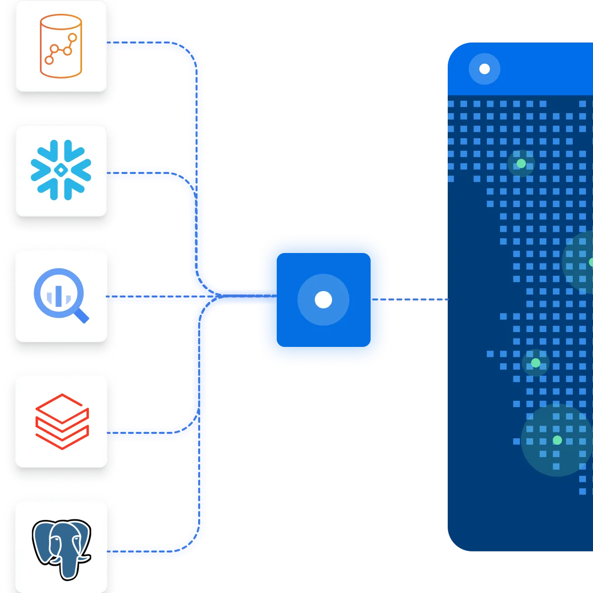
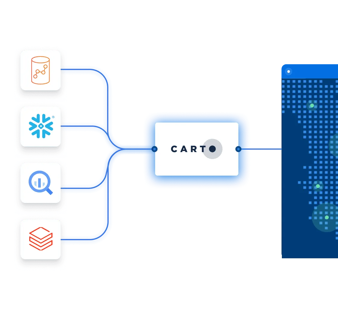
Using CARTO with cloud platforms Google BigQuery, Snowflake, Amazon Redshift and Databricks, Data Scientists can use Spatial Feature Engineering to study spatial relationships to create Machine Learning features that identify fraud propensity.
.webp)