GeoAI
Geospatial foundation models
Use embeddings like AlphaEarth and PlacePulse inside your warehouse, at global scale, without specialist skills or an ETL pipeline.
What are geospatial foundation models?
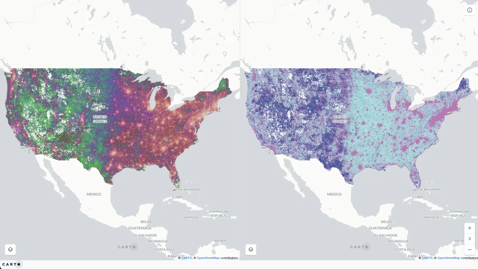
Geospatial foundation models are AI models pre-trained on huge volumes of satellite imagery, maps, points of interest and human activity. They turn every place into an embedding, a compact numerical fingerprint of its character, so you can compare places, group them and predict outcomes without engineering the features yourself. Read the full definition.
How CARTO helps
From embeddings to answers, in your own cloud

Foundation models, in your cloud
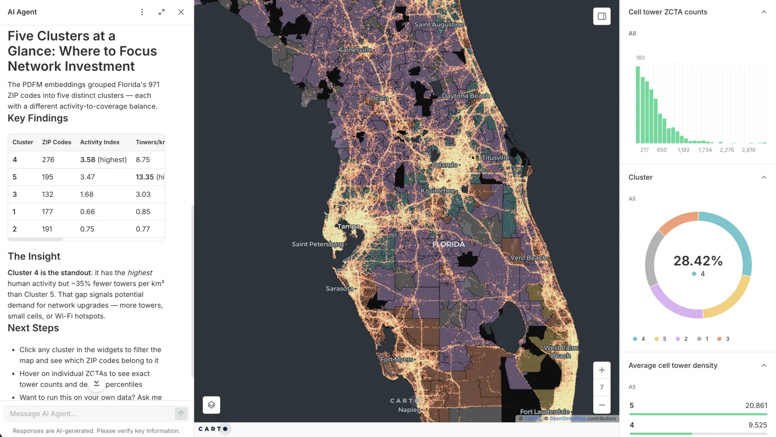
Embeddings are scattered across research releases and APIs, so using them means building plumbing before any analysis starts. In CARTO, use them inside your cloud data warehouse, for precise analytics at a global scale.

Accelerate vector math
Searching, clustering and comparing high-dimensional vectors is time-consuming to do by hand. Use CARTO's ready-made components for similarity search, clustering, visualization and change detection, all inside your warehouse.

Share and scale
When insights stay with whoever ran the analysis, every follow-up means starting from scratch. Build your analysis once in Workflows, share it as a Builder map or an AI Agent your team can explore, and rerun it as your data changes.
Geospatial foundation models you can use in CARTO
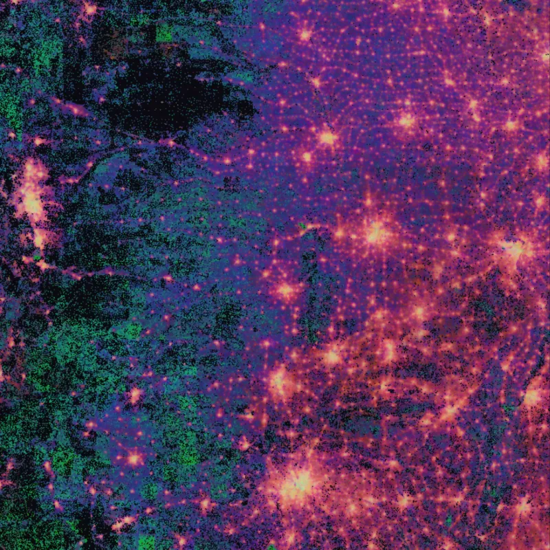
PlacePulse Embeddings (private preview)
Every US neighborhood as one fingerprint of its people, economy and surroundings.
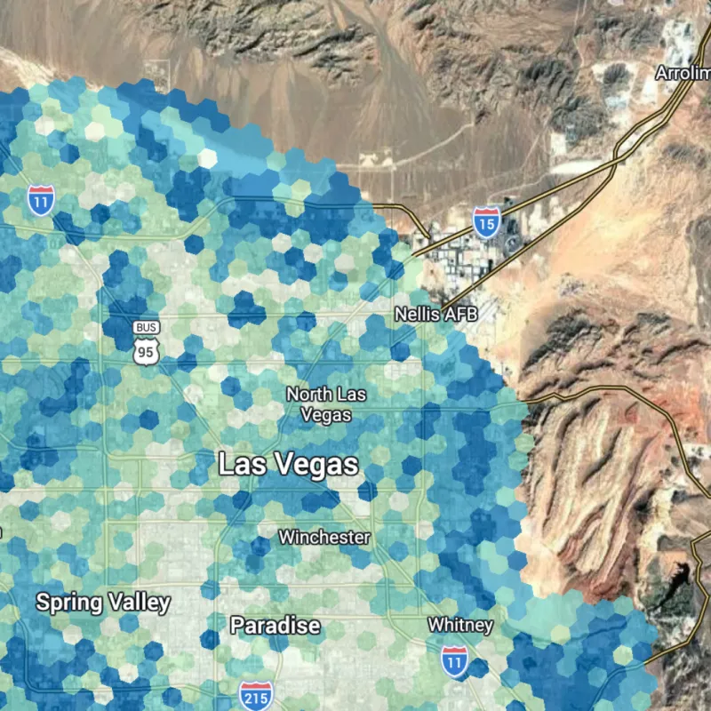
Google AlphaEarth Foundations
The planet's land surface as a single 64-number fingerprint per 10-meter pixel and year.
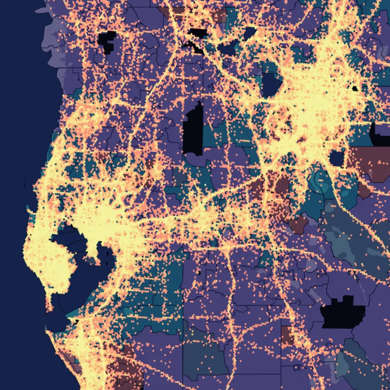
Google PDFM
How people live and move, in one vector for every US county and ZIP code.
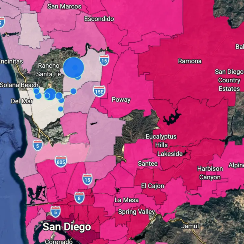
LGND
Search satellite imagery by text, image or location, and detect change, without writing code.
How you can use geospatial foundation models

Twin areas and whitespace
Find places that look like your best markets, and ones that resemble your customers where you aren't yet.

Segment markets
Group places into data-driven types without picking the variables yourself.

Predict outcomes
Use embeddings as ready-made features for demand, risk or infrastructure gaps.

Spot change
Compare snapshots in time to see where the landscape has shifted.

Fill missing data
Estimate values where observations are sparse, like broadband or cell tower counts.

Take a model to new places
Train in one region and apply it to states the model has never seen.
Frequently asked questions
They are AI models pre-trained on large amounts of satellite imagery, maps, points of interest and human activity, then adapted to many tasks. Each place becomes an embedding, so one model can support search, segmentation and prediction. The glossary entry has the full definition.
An embedding is a list of numbers that works as a fingerprint of a place. Because similar places have similar fingerprints, you can search, cluster, visualize and compare them, or use them as features in a model.
Yes. Combine your own locations and metrics with the embeddings in a Workflow that runs in your warehouse, so your data stays where it is. Then publish the result as a map or an AI Agent.
GeoAI is the broader field of applying artificial intelligence to location data, from computer vision on imagery to AI Agents that answer map questions. Geospatial foundation models are one approach within it, giving you pre-trained representations of place to build on.