


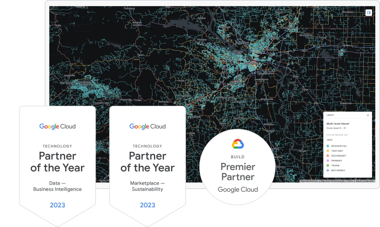
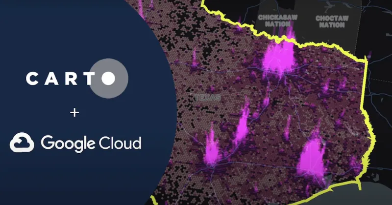
Spatial Analytics for Google Cloud
Trusted by the world's leading geospatial analysts


The most advanced geospatial tools, made native to Google Cloud
Connect CARTO to BigQuery and forget about moving data out of your lakehouse to solve your geospatial needs.
The CARTO platform is now available on the Google Cloud Marketplace - start getting the most out of your spatial data today!

Get inspired by our customers
“Migrating to CARTO’s cloud-native Location Intelligence platform was, without doubt, the right choice for us. The enhanced analytical capabilities of CARTO have opened up our business to new possibilities for more advanced spatial use cases. More than 700 active users of our tools can now work more efficiently to deliver faster and more accurate services themselves.”

"Working with the CARTO platform has helped take our Location Intelligence strategy to the next level. The platform’s rich set of data analytics features and cloud-native approach helps us deliver outstanding insights that fuel our strategy, execution, and performance measurement."

"CARTO’s Location Intelligence platform lets us visualize massive sets of data hosted in Google BigQuery. Thanks to this cloud-native approach to spatial analytics, we have overcome challenges related to scalability and security, and can serve our customers even better."

“CARTO is an expert in geolocation tech, and when you think of a project requiring the use of data and maps… you just think of them. Launching a new project, which in reality is almost a service, can be scary. But as the weeks pass, and you see people saying that it has been useful for them or that they are thinking of changing neighborhoods thanks to the application, you know that the efforts have been worth it.”


"CARTO’s cloud-native approach and the ability to use H3 at scale was a big game changer for us. We can now compute data in real time without the need for heavy coding. Working with the CARTO platform has been extremely impactful as we can now easily visualize & analyse massive amounts of satellite data."

Get inspired by our customers
“Migrating to CARTO’s cloud-native Location Intelligence platform was, without doubt, the right choice for us. The enhanced analytical capabilities of CARTO have opened up our business to new possibilities for more advanced spatial use cases. More than 700 active users of our tools can now work more efficiently to deliver faster and more accurate services themselves.”
"Working with the CARTO platform has helped take our Location Intelligence strategy to the next level. The platform’s rich set of data analytics features and cloud-native approach helps us deliver outstanding insights that fuel our strategy, execution, and performance measurement."
"CARTO’s Location Intelligence platform lets us visualize massive sets of data hosted in Google BigQuery. Thanks to this cloud-native approach to spatial analytics, we have overcome challenges related to scalability and security, and can serve our customers even better."
"CARTO’s cloud-native approach and the ability to use H3 at scale was a big game changer for us. We can now compute data in real time without the need for heavy coding. Working with the CARTO platform has been extremely impactful as we can now easily visualize & analyse massive amounts of satellite data."
Run advanced spatial analytics seamlessly in Google Cloud
Simplify your analytics with Workflows - our low-code tool for automating spatial analysis. Customize & extend your workflows to access and leverage Google Cloud features - all inside your lakehouse. This includes Earth Engine integration available for BigQuery, as well as BigQuery ML capabilities for BigQuery.
%20copia%20(1).webp)
%20copia.webp)
Combine the power of Google Cloud with +100 advanced spatial functions
Extend BigQuery capabilities with our Analytics Toolbox - a suite of user defined functions (UDFs) for performing advanced spatial analysis and data enrichment natively in your lakehouse.
.webp)
.webp)
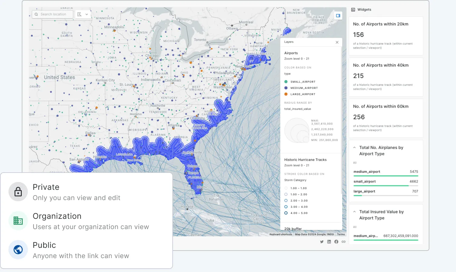
Unmatched data visualization capabilities
Build rich, dynamic data visualizations directly from BigQuery with Builder. Visualize billions of data points with ease. Create and share interactive dashboards that take your data storytelling to the next level. We fully integrate with Google Maps.
Accelerated, scalable app development
Reduce the time and cost to develop spatial applications on top of BigQuery without the need for ETLs or any intermediate mapping server.
Integrated with Google Maps Platform
Applications developed with CARTO can also be seamlessly integrated with Google Maps Platform visualizations, libraries, and APIs, optimizing the time-to-market and user experience of your applications.

.webp)
.webp)
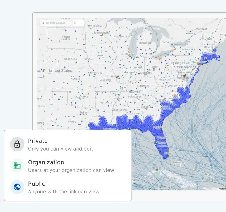
Enterprise-grade security all the time
Create secure connections to your data in Google Cloud, using technologies like OAuth or Workload Identity Federation, and integrate your own SSO to share your analysis safely. Get the same versatile experience in your own controlled environment, compatible with VPC architectures, with CARTO Self-Hosted.


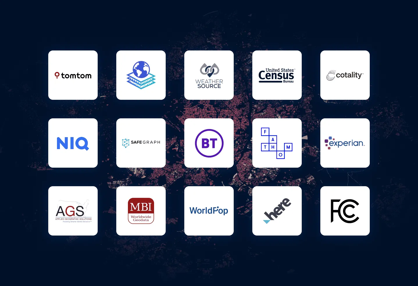
More than 12,000 datasets to enhance your analysis
Our Data Observatory gives you frictionless access to thousands of curated spatial datasets so you can enrich your own data, and deepen your analysis. Take away the pain of data discovery, evaluation & ETLing. Spend more time on the analysis that answers your most important business questions.
Related content

.webp)