

How to get your colleagues & clients excited about geospatial


One of the things that makes Location Intelligence so valuable and important is its cross-disciplinary nature. It encourages collaboration and ties siloes together. Fundamentally, spatial is a language we all can - and need - to speak.
What this tends to mean is that it’s very rare to find a singularly “geospatial” company. Teams working with geospatial tech and data are typically found embedded in more wide-ranging organizations, spanning industries such as real estate, transport and retail.
Therefore, as a geospatial professional it’s likely you’ll often be collaborating with non-geospatial professionals, often with little exposure to the wonderful world of Location Intelligence. Subsequently, it’s likely you’ll need to ask something from those people - particularly those in your chain of command. This could be:
- Can we recruit another team member?
- Can we purchase or upgrade our software or hardware?
- Can we have more time to complete a required task?
- Can geospatial play a greater or leading role in this project?
These conversations can be difficult when the person you’re asking this from doesn’t have a solid appreciation of geospatial and its benefits, and can result in a “no” to your request.
So what can you do in these situations? Here’s our guide to evangelizing geospatial to help you turn that “no” into a “yes.”
Let’s be honest. There’s one thing that all geospatial professionals have in common; we LOVE data and tech. Whether it’s a new version of our favorite software, a coding problem we’ve just cracked or the latest open data release - for us, there is nothing as exciting as discovering a cool new technology or data “toy” to play with.

That excitement - would you believe - doesn’t extend to everyone.
While they might be interested in geospatial, your management chain is likely more interested in the business outcomes of geospatial. This means you’ll need to appeal to both their commercial and deliverable interests.
This means talking about what geospatial means for your bottom line. Have you found a way of doing things more efficiently, and therefore save money? Statistics and figures will really help you here.
Let’s say you want to migrate your centralized geospatial database from local ESRI geodatabases or PostgreSQL to a cloud-native data warehouse. You’ll want to come to that conversation armed with stats on how the much faster processing times will allow you to do so much more work. You’ll spend so much less time staring at a processing bar stuck on 99% - giving you more time to focus on the projects your business is interested in! For this specific example, you can check out our guides on migrating your data from PostgreSQL to Google BigQuery and Snowflake.
These conversations are about saying what geospatial helps you do better.
Maybe geospatial helps position you against your competitors - doing something they can’t do, or doing it better. For example, maybe your competitors are using a BI platform like Tableau or Power BI, and you know the limitations these platforms have for spatial analysis, such as having a data records cap, or not being able to show line features (check out this post for more details).
Similarly, can you do something with geospatial that your customers love? For example, your organization might typically share deliverables as PDF maps and shapefiles at the end of a project. But did you have one customer who you created an interactive dashboard for? Did they love that the decision-makers could interact with your data and analysis, rather than this being limited to the GIS Analysts?
As always, statistics and figures will help you with these conversations - but so will competitor and customer insights which are more qualitative, such as quotes and feedback.
At the start of this article, we spoke about how multi-disciplinary geospatial is, and that’s reflected in the people practicing it. Gone are the days where a GIS degree or even a GIS job title is required to be working with geospatial data and tech.
Such is the appetite and need for insights from spatial data that the user base has widened dramatically, and not just to related careers like data analysts and computer scientists. You may well now see geospatial on the resumes of transport and town planners, ecologists, economists, marketing specialists… the list goes on!
The more you present geospatial as something for everyone, the more everyone will be keen to see its role expanded.
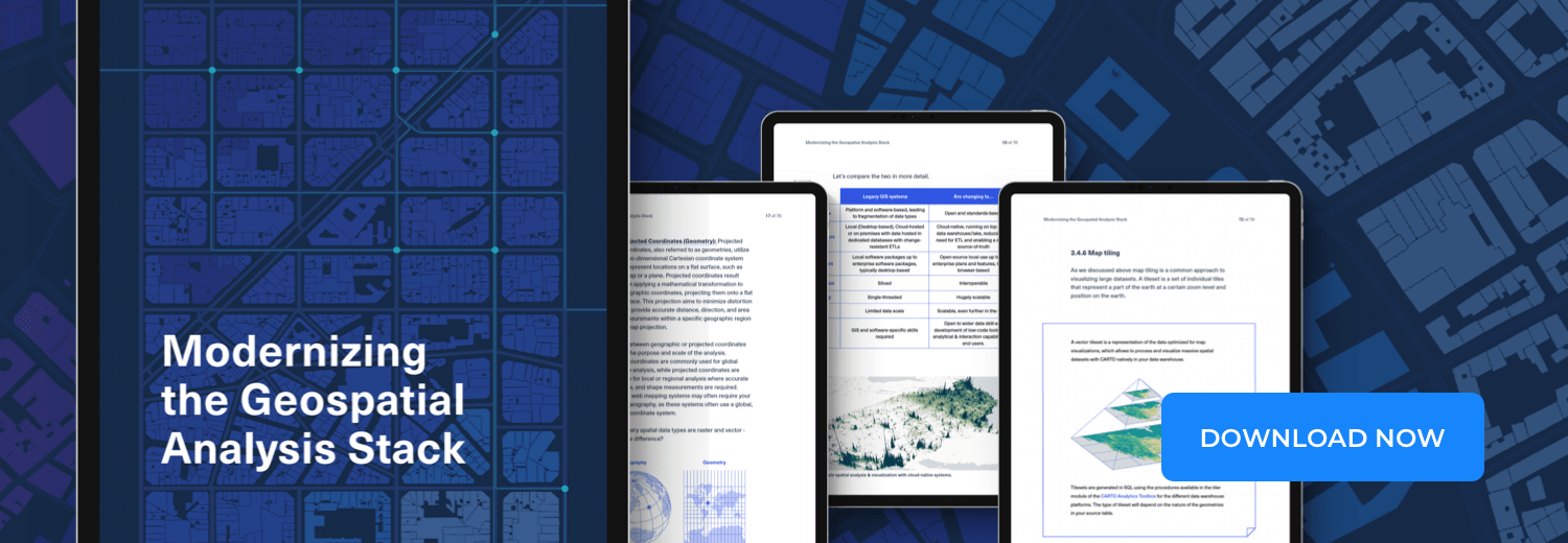
Access the ultimate guide to navigating the new geospatial landscape. Download the free report: Modernizing the Geospatial Analysis Stack today.
Not everyone will have the knowledge or skills to manage spatial data effectively, undertake spatial data science workflows or troubleshoot analysis (although we all know that 99% of the time, it’s a projection issue!) - that’s where you come in! But having a system that allows people - and particularly decision makers - to explore data and undertake simple analysis will get them “bought in” to geospatial.
The geospatial industry is absolutely packed with jargon. It has to be - there are so many concepts and algorithms unique to spatial analysis that we’ve almost got our own dialect. This can obviously create a big communication gap, particularly as the person you’re speaking to probably has their own set of jargon too.
Try to translate jargon into plain english, as always focusing on outcomes rather than tech. Here are some examples:
- Geographically Weighted Regression translates to “a tool for measuring the strength of relationships between variables, and how they vary spatially.“
- Tilesets translates to “a method for breaking big data into chunks to visualize it more quickly. “
- Isochrones translates to “drive or walk time catchments.”
Remember, the people you’re speaking to don’t need to grasp the minutia of the geospatial concepts you’re describing; just how they benefit them. Some golden rules of de-jargonifying your talk include:
- Using examples to illustrate concepts is always helpful.
- Don’t assume that just because you’ve explained a concept once, people will remember what it is.
- If you aren’t sure if someone will understand what something means, assume they don’t (or ask!).
- The most golden rule of all? DNUA. Do Not Use Acronyms… Oops.
There are lots of ways to “sell” geospatial internally. We’ve pooled our collective experience in this area and listed some of the most effective examples below:
- Run internal geospatial events, such as webinars or project showcases. Hackathons are always fun and a great way for people to get “hands-on!”
- Look for opportunities to promote your work externally, too. Is your company involved in any external events that you could speak at? Just because the topic isn’t directly geospatial, doesn’t mean you can’t find an angle! The organizers will probably be grateful for volunteers!
- Get geospatial into the induction programme for new starters to your organization.
- Work with your organization’s marketing team to build out the geospatial section of your company’s website, create case studies and social media content.
- Don’t just talk about the power of geospatial - show it! Does your company website need a project or office map? Is a colleague creating a glossy report, and you just know a cool data viz would look much better than the generic stock photo they’re currently using?
And throughout all of this, keep our first point in mind: focus on outcomes, not tech!
We hope you found our top tips on Geospatial evangelism helpful! If you’re looking for more resources to inspire you and your colleagues, head over to our Customer Stories page to see how other organizations are leveraging the power of Location Intelligence.


.png)

