Spatial Data Science


Tackling Customer Churn for Utilities with Spatial Modeling
Spatial Data Science modeling can help Utilities companies to dramatically reduce customer churn and save millions in recurring revenue.

Speed up your spatial analysis with CARTOframes 1.0
CARTOframes is the go-to tool for powering analysis with spatial insights and efficiently working with spatial data and spatial models

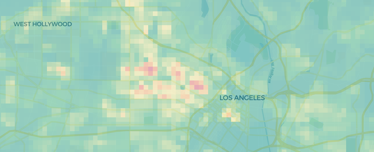
Quantifying Park Use in American Cities: Spatial Models and Novel Measures
Learn how cities can use spatial modeling to more accurately assess park use to inform planning and facilities decisions

Magnify your Analysis: Statistical Downscaling to Enhance Spatial Resolution
From understanding the dynamics of a business, to modelling physical and biological processes, selecting the proper spatial scale matters.


Spatial Analysis: Private Equity's Secret Weapon
Which types of funds invest in spatial analysis? How do they use location data in screening & portfolio management? We discuss the role of Data Science.


PostGIS Day: A future, post GIS
Is GIS dead? No, but it is undergoing a transformation - and we're excited to see how spatial analysis can continue to change our world.

Retail Revenue Prediction Models with Spatial Data Science
Predicting store revenues is critical, allowing retail leaders to stay agile, make informed decisions around current store operations, and plan the most effective new openings. The most accurate prediction models include the location component.

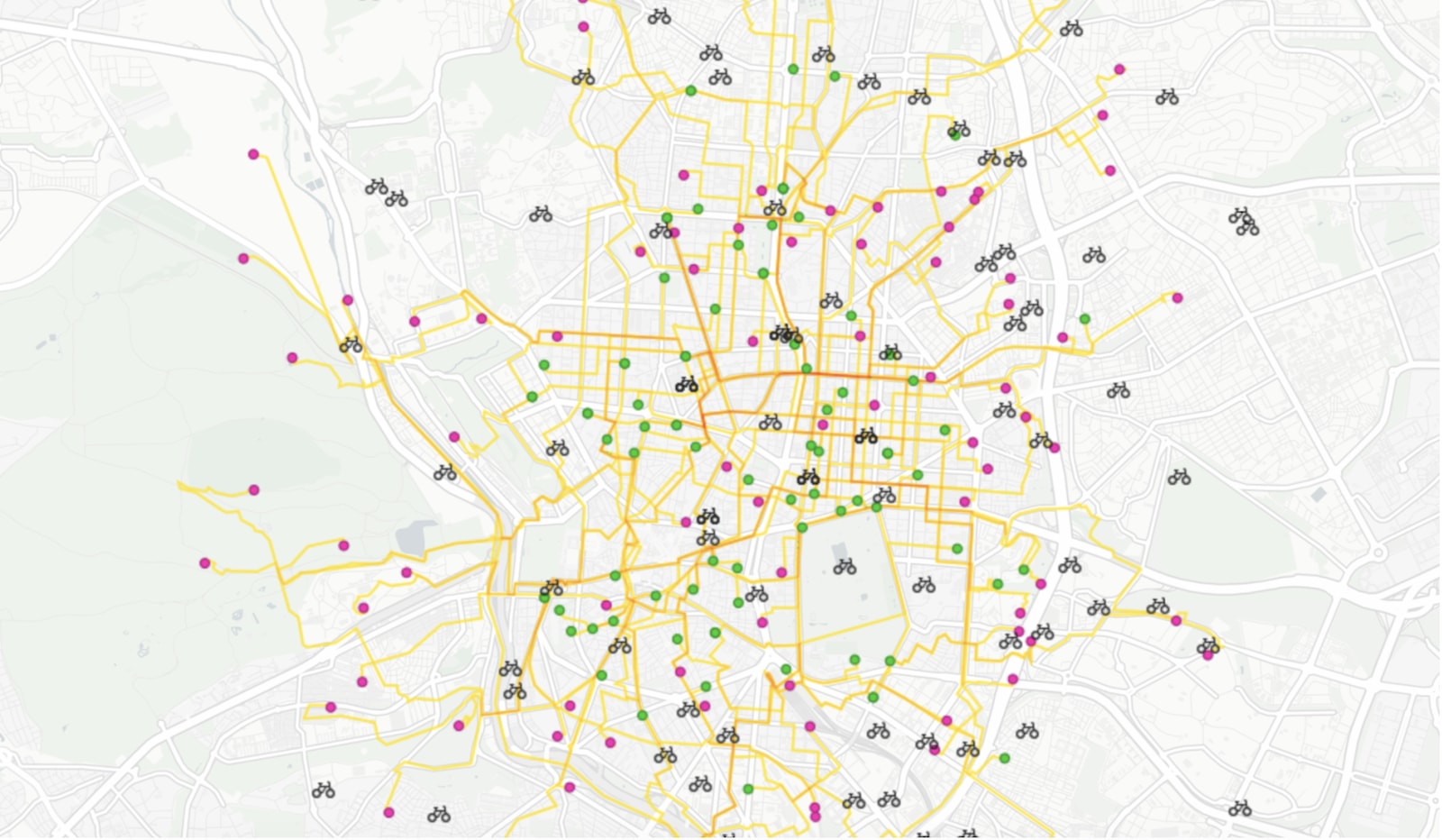
On-demand last mile transportation: Real-time route optimization with Location Intelligence

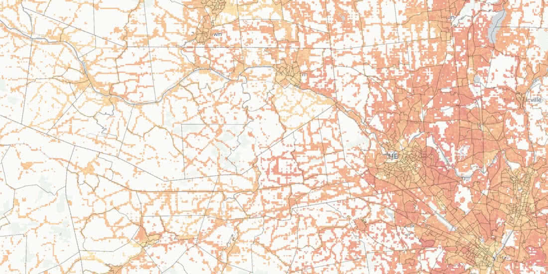
Improving Healthcare Access with Spatial Data Models
An investigation of healthcare access across America, built on new spatial data science techniques
Big Data from Space: Using CartoDB to track environmental change
Discover the stories behind environmental data with CARTO. Explore deforestation trends, visualize Big Data insights, and unlock spatial analysis.

Academy


New CARTO Boundaries for faster visualizations in spatial apps
Announcing CARTO Boundaries for faster spatial app visualizations! Join data with pre-generated vector tilesets for efficient processing.

Build insights at scale with the new CARTO Spatial Features data
Announcing CARTO Spatial Features 3.0! Explore global human activity, night light intensity & telecom infrastructure spatial data.

5 things we’re excited for at SDSC London 2024
Discover the latest in Spatial Data Science at SDSC London 2024! From climate risk management to AI solutions - get your tickets now!