Use cases
.png)


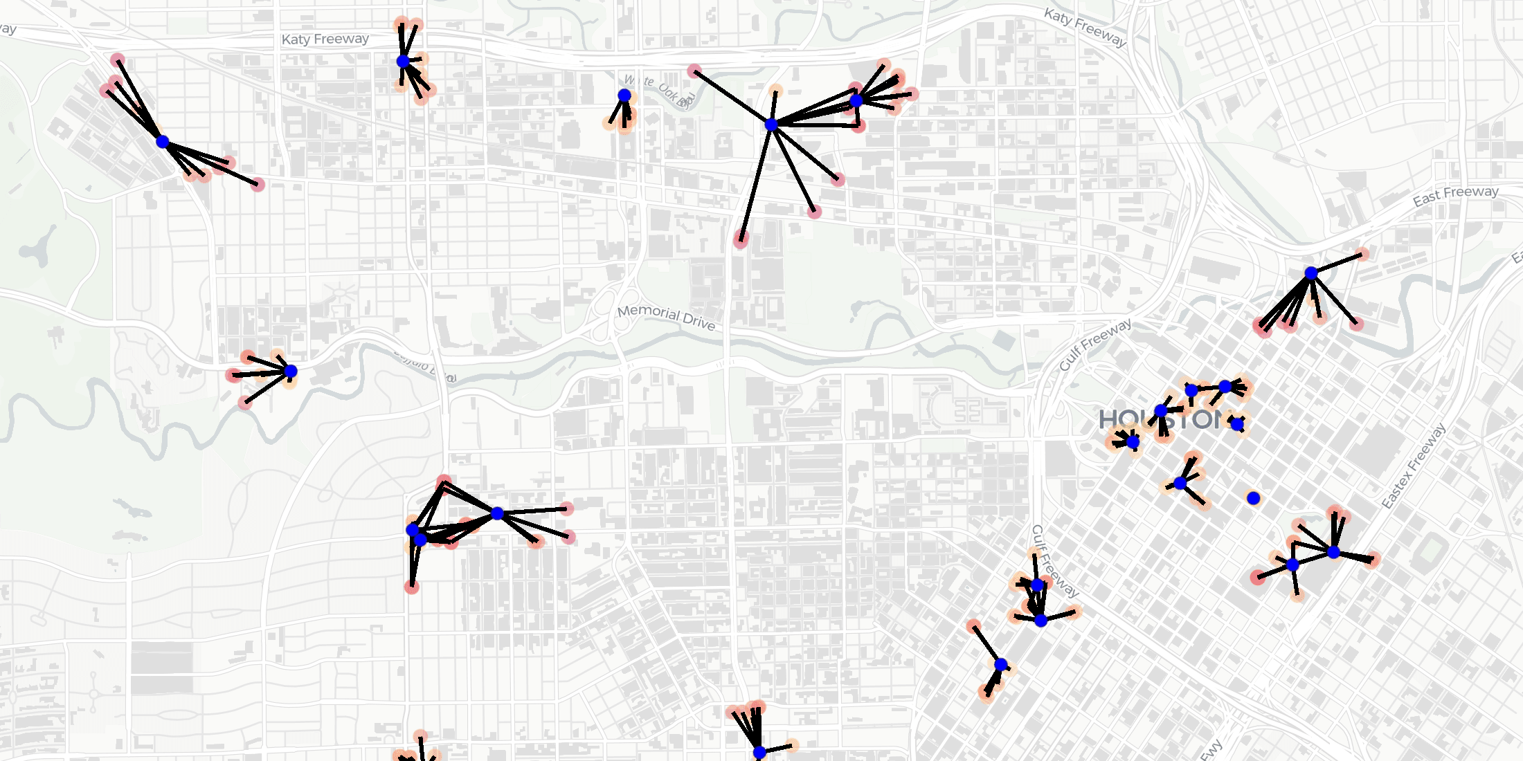
How T-Mobile Uses Spatial Data to Improve Network Planning
“How can spatial data solve challenges for Telecom? Discover how CARTO has helped T-Mobile improve network planning & internal operations. "


Can Kanye West Save Gap? What Maps & Location Data Reveals
Kanye West's partnership with Gap generated a lot of buzz but how has it affected in store sales & visitation? Find out using maps & behavioral spatial data.


Assisted Living Facilities Site Selection for Elderly Care
As the world’s population ages, discover how Assisted Living Facility owners & Private Equity can use CARTO for Site Selection to identify new optimal locations


Distance-based functions for the spatial analysis of point data in BigQuery
We are pleased to introduce 3 new functions for point data analysis in our Analytics Toolbox for Google Cloud BigQuery: K-nearest neighbors, Local Outlier Factor, & G-function


Black Friday Analysis: Why Retailers Should Pay Attention
Discover how retailers can evaluate Black Friday & holiday sales performance using hotspot analysis, Safegraph foot traffic data, and the CARTO platform.

Understanding the Impact of Tree Equity in Chicago
Learn how the University of Chicago built a tree equity solution to understand the impact that tree canopy cover has on social & health outcomes in the city of Chicago.

Fuel Shortage UK Maps & What Location Data Can Tell Us
Earlier this year many petrol stations in some parts of the UK ran out of fuel. Discover what location data can tell us about the real story behind the long queues.


CARTO selected for AI4Cities Phase 2 Sustainable Mobility Project
We are pleased to announce that we have been selected to participant in phase 2 of AI4Cities, a project to help cities accelerate their transition towards carbon neutrality

Climate Change & Extreme Weather: Hurricane, Wildfire, & Flood Maps
Climate change is contributing to extreme weather with increasing bursts of hurricanes, wildfires, & floods. See how maps can help plot, predict, & protect.
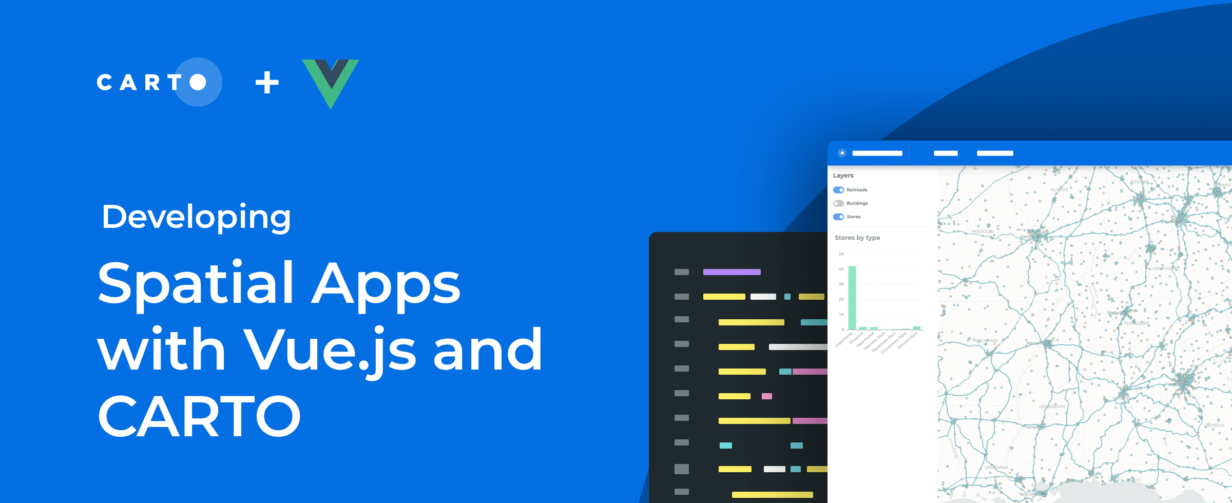

How to Build Scalable Spatial Apps with Vue.js & CARTO
Developing spatial apps with Vue.js? Check out our guide to how easy it is to integrate Vue.js applications with CARTO for deck.gl

Using Location Intelligence to Ease the Supply Chain Crisis
The disruption of global trade flows & a shortage of drivers has led to a global supply chain crisis. Read how Location Intelligence can be a road out of the crisis.


Canary Islands Volcano: Mapping La Palma Lava Flow & Damage
We use Spatial Data Science & CARTO to analyze & predict the damage caused by the eruption of the volcano on La Palma in the Spanish Canary Islands

Academy


New CARTO Boundaries for faster visualizations in spatial apps
Announcing CARTO Boundaries for faster spatial app visualizations! Join data with pre-generated vector tilesets for efficient processing.

Build insights at scale with the new CARTO Spatial Features data
Announcing CARTO Spatial Features 3.0! Explore global human activity, night light intensity & telecom infrastructure spatial data.

5 things we’re excited for at SDSC London 2024
Discover the latest in Spatial Data Science at SDSC London 2024! From climate risk management to AI solutions - get your tickets now!