


Spatial Analytics for Databricks
Trusted by the world's leading geospatial analysts


.webp)


The most advanced geospatial tools, made native to Databricks
Connect CARTO to Databricks and forget about moving data out of your lakehouse to solve your geospatial needs.
Get inspired by our customers
CARTO for Databricks represents a huge advance on spatial platforms. With cloud native-push down queries to the Databricks Lakehouse platform, we have now the best analytics and mapping platform working together. With the volumes of data we are operating right now, no other solution could match the performance and convenience of this cloud native approach.

At Databricks, we're constantly pushing the boundaries of data and AI. Our collaboration with CARTO represents a significant step forward in merging the worlds of data science and spatial analysis, opening up exciting new possibilities for innovation across industries.

Run advanced spatial analytics seamlessly in Databricks
Simplify your analytics with Workflows, our low-code tool for automating spatial analysis. Customize & extend your workflows and get direct access to Databricks features like Agent Bricks and Spatial SQL - all inside your lakehouse.
.webp)
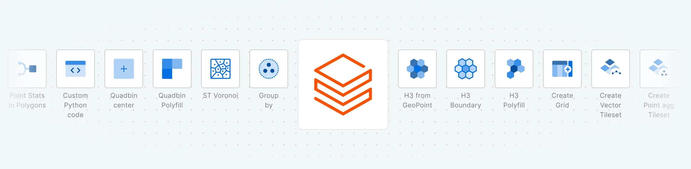
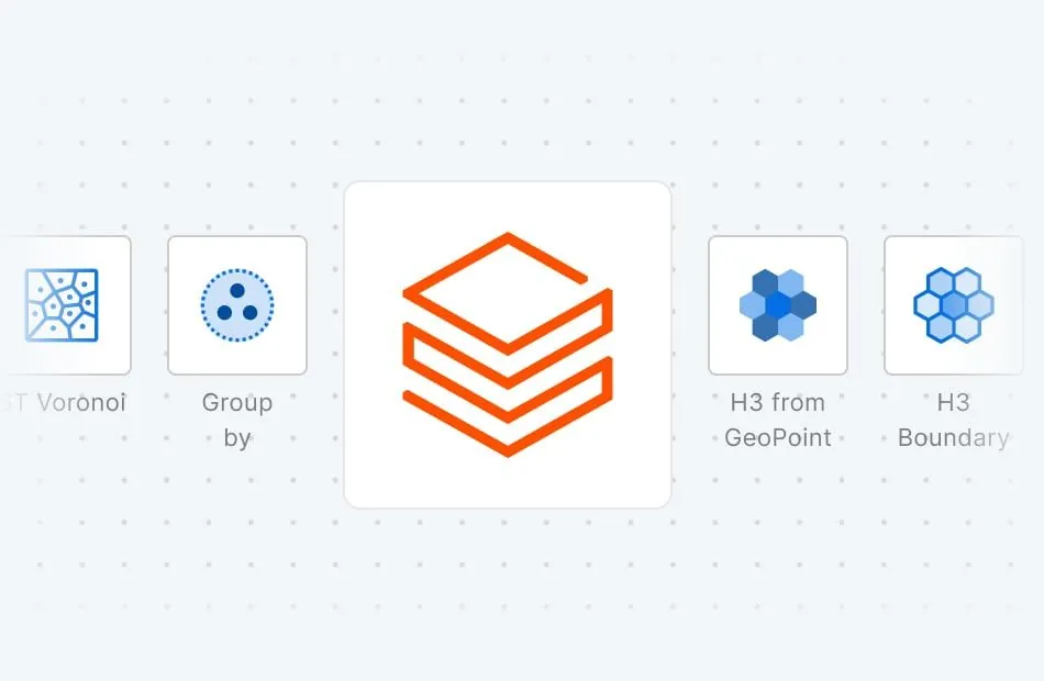
Combine the power of Databricks with +100 advanced spatial functions
Extend Databricks' capabilities with our Analytics Toolbox - a suite of user defined functions (UDFs) for performing advanced spatial analysis and data enrichment natively in your lakehouse.
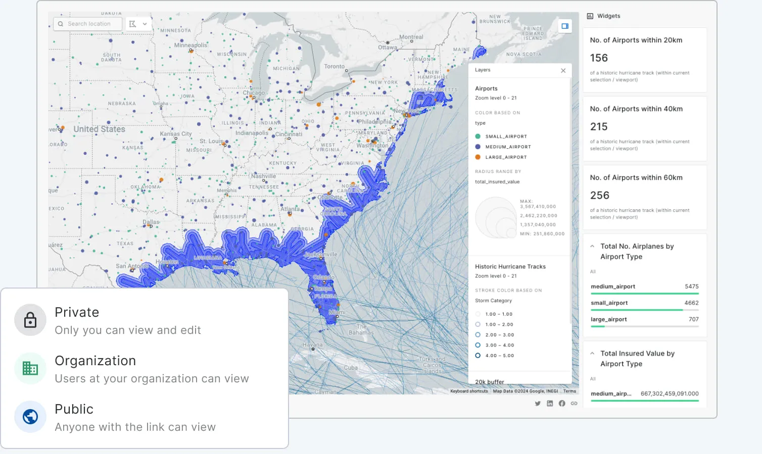
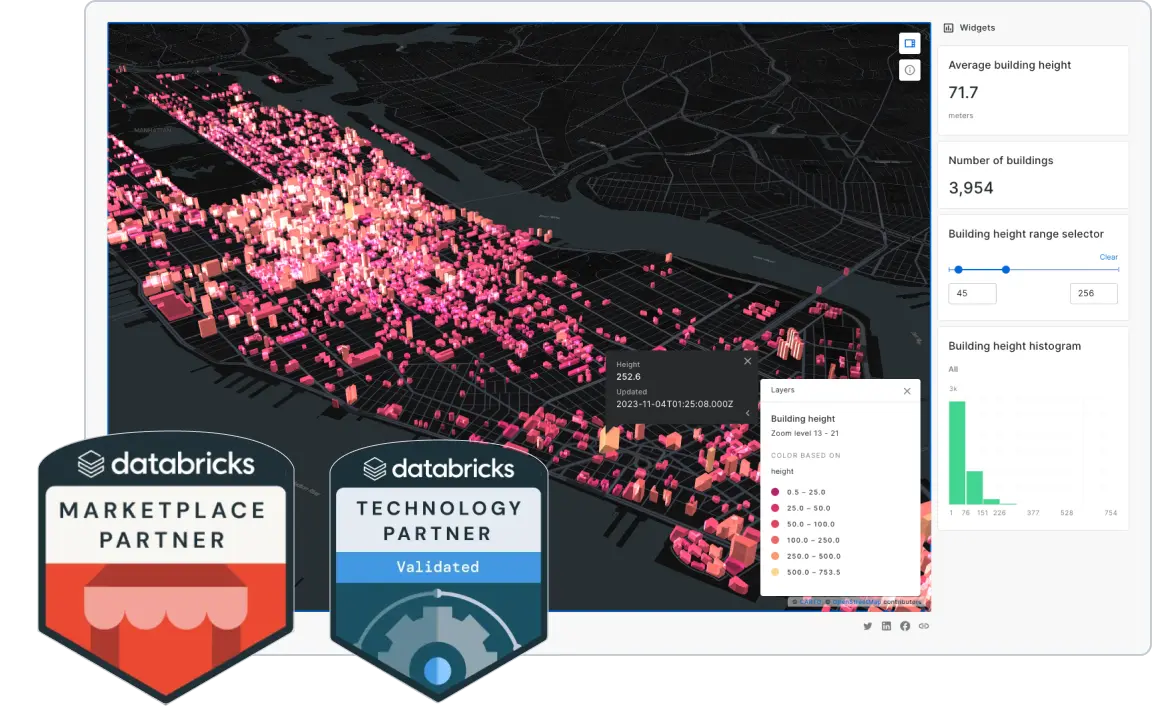
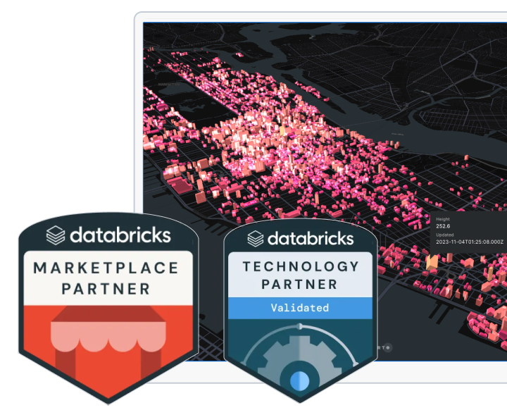
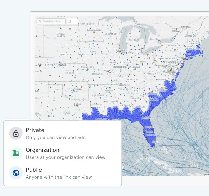
Unmatched data visualization capabilities
Build rich, dynamic data visualizations directly from Databricks with Builder. Visualize billions of data points with ease. Create and share interactive dashboards that take your data storytelling to the next level.
Accelerated, scalable app development
Reduce the time and cost to develop spatial applications with the most comprehensive APIs and development toolkit so you can fast-track your app development cycle on top of Databricks, without the need for ETLs or any intermediate mapping server.

.webp)


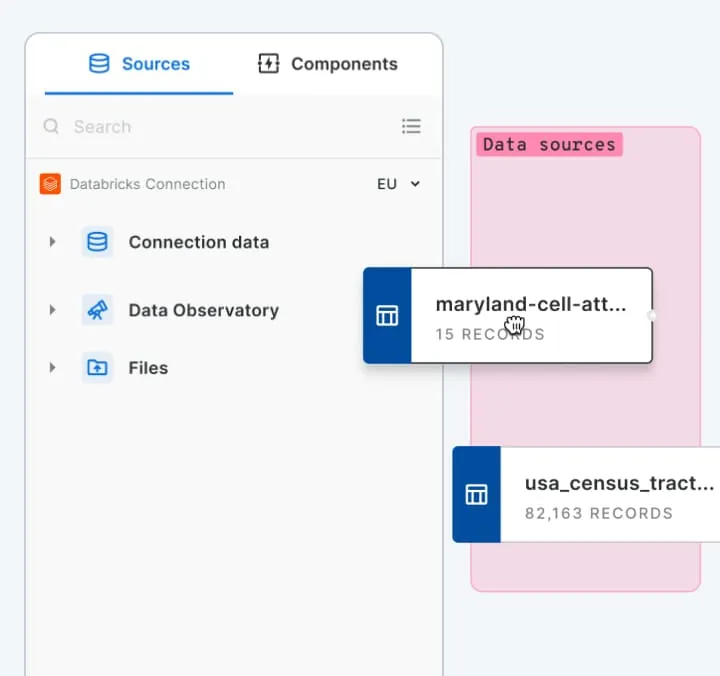
More than 12,000 datasets to enhance your analysis
Our Data Observatory gives you frictionless access to thousands of curated spatial datasets so you can enrich your own data, and deepen your analysis. Take away the pain of data discovery, evaluation & ETLing. Spend more time on the analysis that answers your most important business questions.
Related content


.webp)