carto solutions for transport

Transport

Optimizing transport infrastructure spatially is key to the future of mobility. The most efficient cities are moving away from traditional methods to analyze new data for a greener future.

Trusted by the world's leading transport companies
FEATURED STORIES

Get inspired by our customers

"Using CARTO has allowed us to analyze large amounts of spatial data for 5G deployment at scale and build a creative solution to a complex industry problem."

Kendra Lord
Kendra Lord
Director of Geospatial Engineering & Analytics, T-Mobile
Learn More

“By working with CARTO we’ve been able to build the world’s leading telco data monetization solution (Vodafone Analytics) for Tourism, Real Estate & Retail - turning mobile event data into highly valuable spatial insights in 5 countries.”

David Gonzalez
Chief Data Officer at Vodafone Group
Read story

I've been making use of the much more interactive sharing capabilities of CARTO compared to ESRI, and it has been well received by the organization.

Leo Coussement
Senior Strategy Analyst at MAG

As a data scientist at Werner, we needed to analyze the impact of a new trucking terminal on our network of 35,000 vehicles. Predicting the effect of a new terminal is incredibly complex due to the abundant geospatial constraints. CARTO has been instrumental in helping us overcome this challenge and streamline our analysis process

David Cavanaugh
Data Scientist at Werner

CARTO has allowed us to tackle complex challenges relating to road accident analysis in London and much more. Working with their cloud-native platform has been a transformative experience, making it faster for us to visualize large-scale geospatial data and quickly deliver insights to different areas of our business, partners, and clients.

Val Ismaili
Transport Planner at ARUP

Working with NGIS and the CARTO platform has made our day-to-day work more safe and efficient. We’ve overcome field challenges relating to asset identification and ensuring works are reported correctly.

Todd Munro
Asset Management Systems Coordinator at ConnectEast

Traffic Management

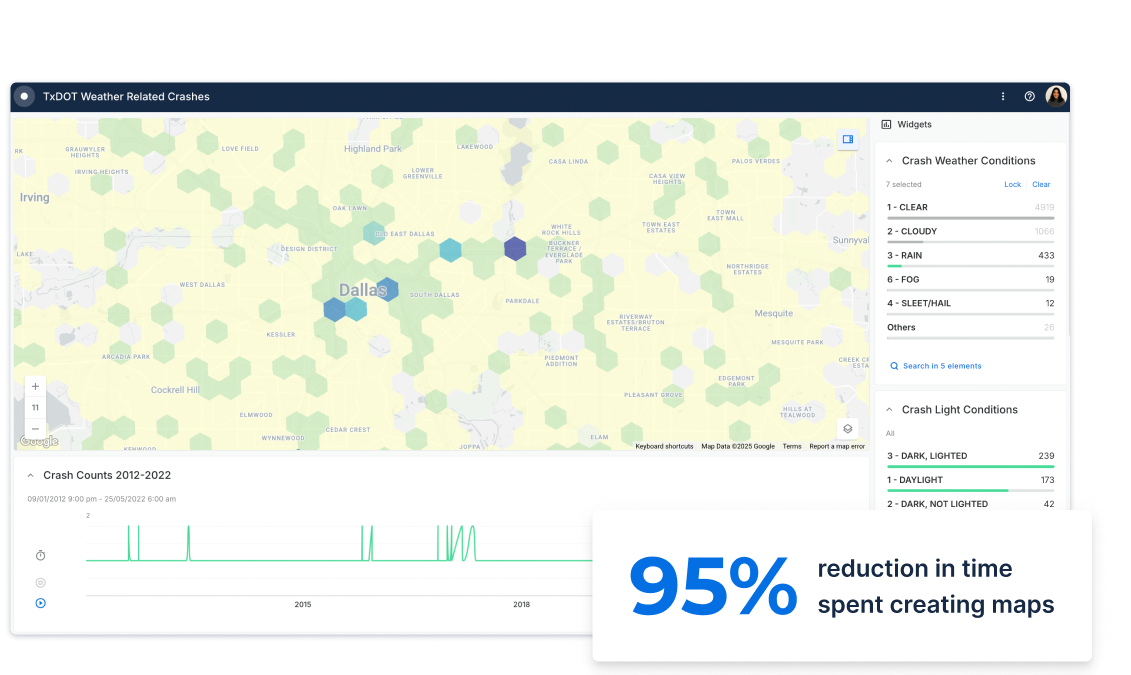
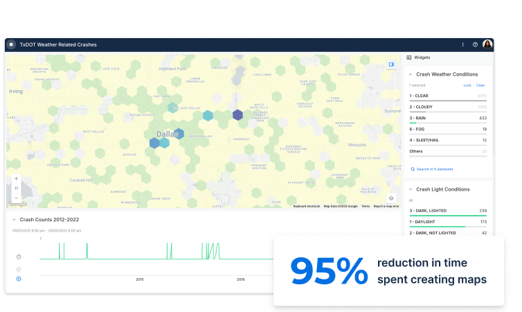
Traffic jams cost the US a staggering $87 billion in lost productivity per year. Citizens in every city now use data from smartphones & embedded satellite navigation to work around traffic. Yet only a handful of local governments are fully capturing the value of new location data streams & spatial analysis to optimize their city traffic management operations & reduce CO2 emissions.

Hear from San Diego's CDO
Traffic management desktop image
Traffic management mobile image
Road Safety Analysis

Road Safety Analysis

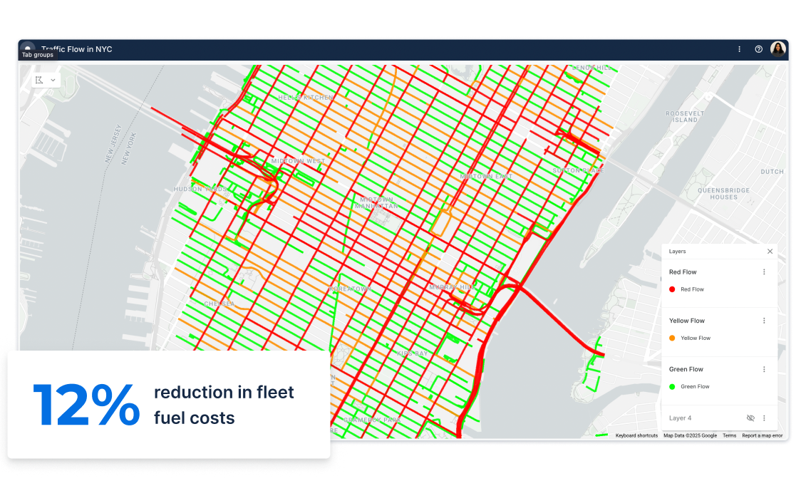
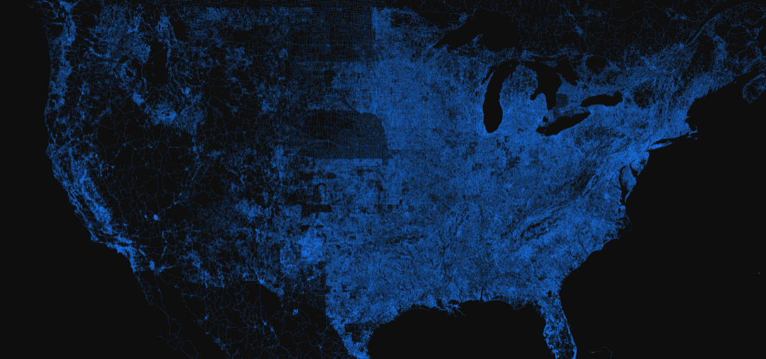
With a wide range of data streams now available from a rapidly growing number of sensors & GPS devices, we can now understand the health of our road networks at a deeper granularity than ever before.

To make our cities safer & more efficient, local governments need to apply Spatial Data Science methodologies, going beyond the analysis of historical data, to predicting the probability of incidents by location.

Read NYC collision prediction
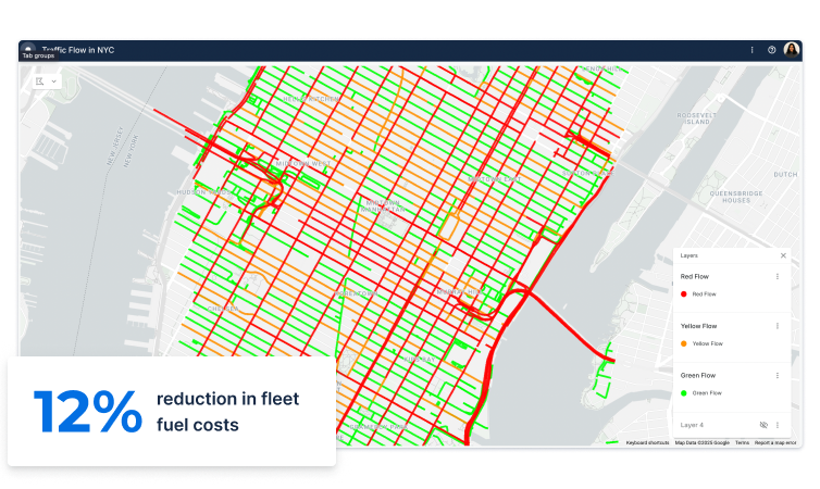
Road Safety Analysis mobile image

Mobility Planning

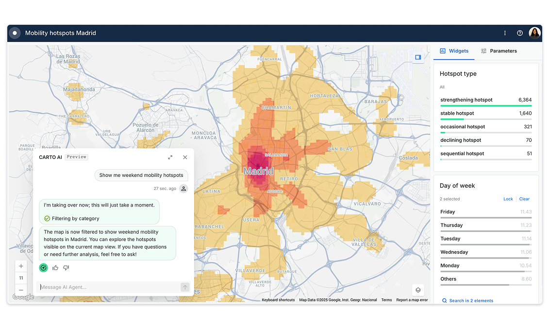
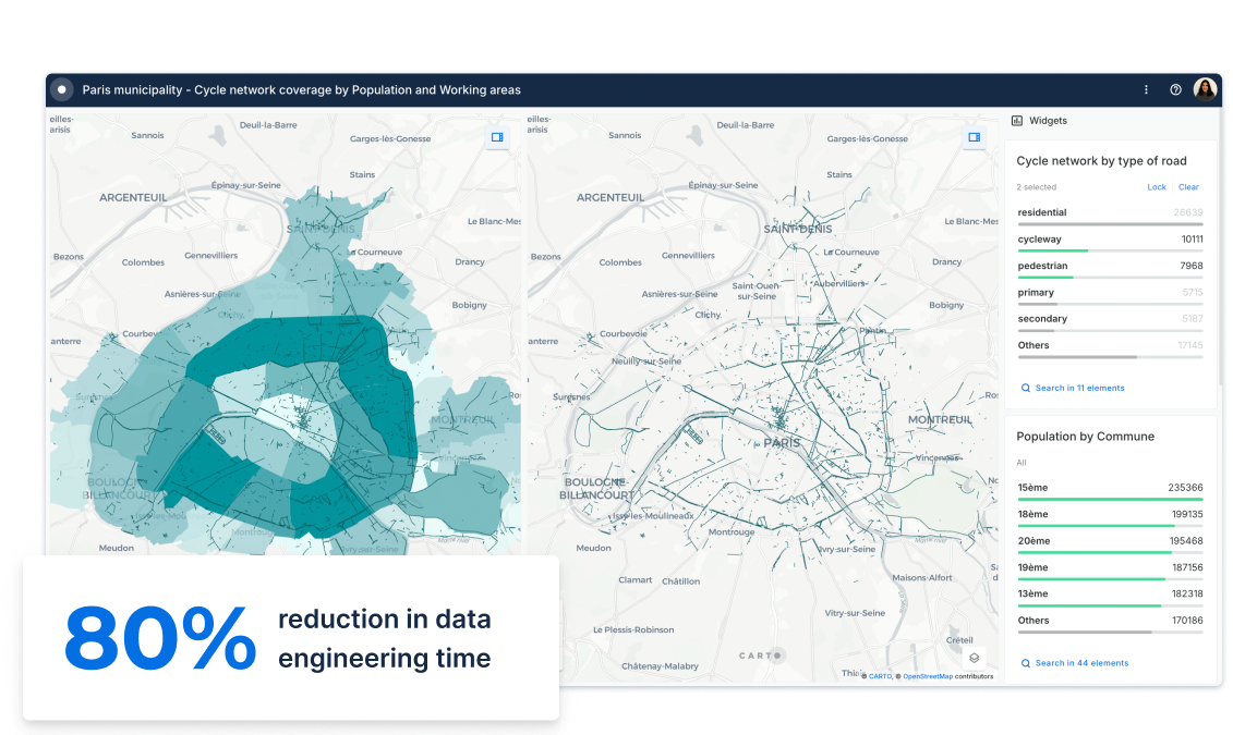
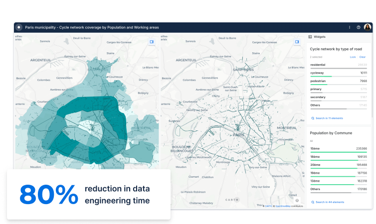
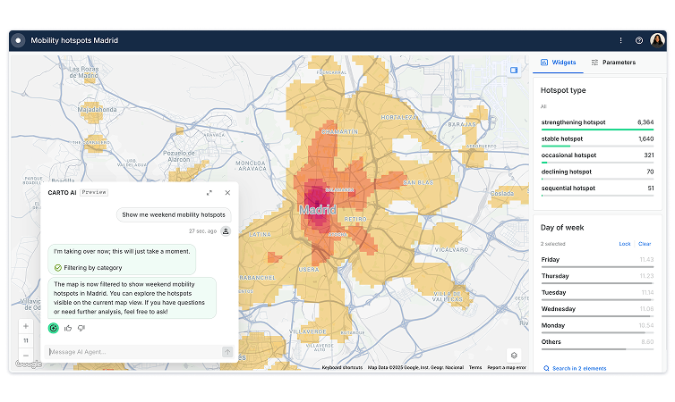
Optimizing public transport infrastructure, such as bikes, buses, trains, & metro services, is paramount in order to reduce traffic & improve road safety. Analyzing commuter patterns through origin-destination matrices & spatial models allows cities to provide the right services to the people who need it most.
Watch webinar
Mobility planning desktop image
Mobility planning mobile image
Citizen Services desktop image

Citizen Services

Providing real-time & crowdsourced insights on transport networks to citizens via intuitive solutions has become a key pillar of urban mobility strategies. Gathering & visualizing spatial data through simple Open Data web applications enables citizens to share information on road safety, congestion, & much more - allowing them to make more informed mobility decisions.
Download wecity case study
Citizen Services mobile image

Related content

Blog
A Guide To Using GTFS Data

Everything you need to know about GTFS data for transit analysis; where to source, data wrangling and how to turn it into GIS layers

Read more
Blog
Optimizing Site Selection for EV Charging Stations

How to optimize EV Charging Site Selection with Spatial Data Science? Improve accessibility and convenience, drive revenue, and de-risk growth with this guide.

Read more
Blog
Calculating Routes at Scale Using SQL on BigQuery

Read this guide about route optimization using Google BigQuery, a cloud-native and scalable alternative to PgRouting and Network Analyst.

Read more

TALK TO US

Request a Demo

Schedule a 20 minute meeting with our experts to understand how you can use spatial analysis in your organization.