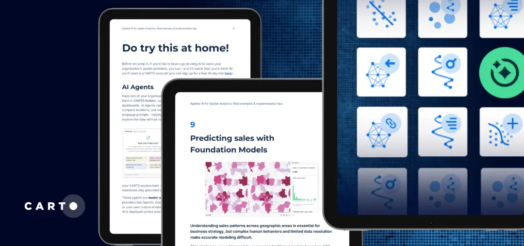
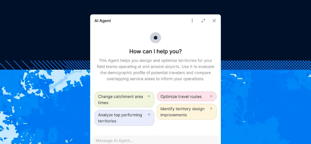
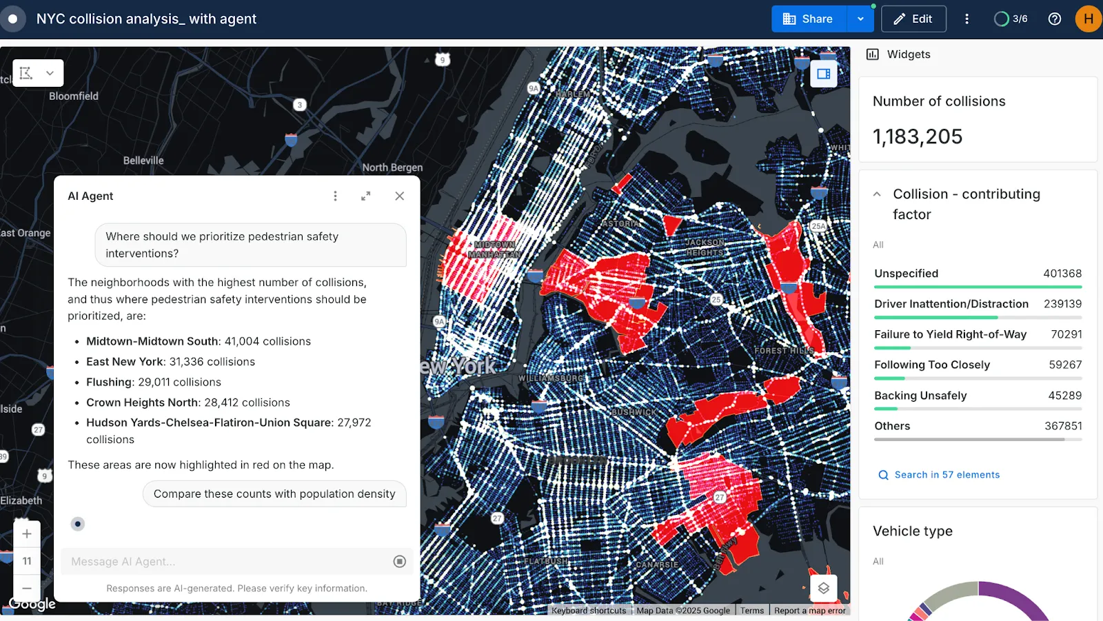
An AI Agent is an intelligent system, typically powered by a Large Language Model (LLM), that can autonomously perform tasks, make decisions, and interact with users. It moves beyond simple automation by using reasoning to understand a user’s goal, select the right tools (like APIs or analysis workflows), and use context from the conversation to achieve a specific outcome.
In the context of spatial analytics, AI Agents act as “virtual geospatial experts” that democratize access to complex location-based insights. They allow any user, regardless of technical expertise, to ask complex questions in natural language, such as “Where are the best locations for a new EV charging station based on traffic and competitor data?”
The agent can then autonomously interpret the request, run the necessary geospatial queries, call data enrichment workflows, and generate a complete, actionable answer, often presented as both a summary and an interactive map.
What are AI Agents used for in Spatial Analytics
Autonomous Task Execution: Perform multi-step, complex spatial analyses (like a full site selection or risk assessment) with a single command.
Data Interpretation & Insight Generation: Analyze complex geospatial patterns and summarize actionable results.
Decision Support & Recommendation: Evaluate different scenarios, compare potential locations, and propose optimal solutions based on data-driven reasoning.
Workflow Automation: Streamline and automate repetitive geospatial tasks, such as geocoding, generating isolines (drivetime areas), or identifying spatial outliers.