Our boilerplate
From smartphones to connected cars, location data is changing the way we live and the way we run businesses. Everything happens somewhere, but visualizing data to see where things are isn’t the same as understanding why they happen there. CARTO is the world’s leading Location Intelligence platform, enabling organizations to use spatial data and analysis for more efficient delivery routes, better behavioural marketing, strategic store placements, and much more. Data Scientists, Developers and Analysts use CARTO to optimize business processes, and predict future outcomes through the power of Spatial Data Science.
Logo


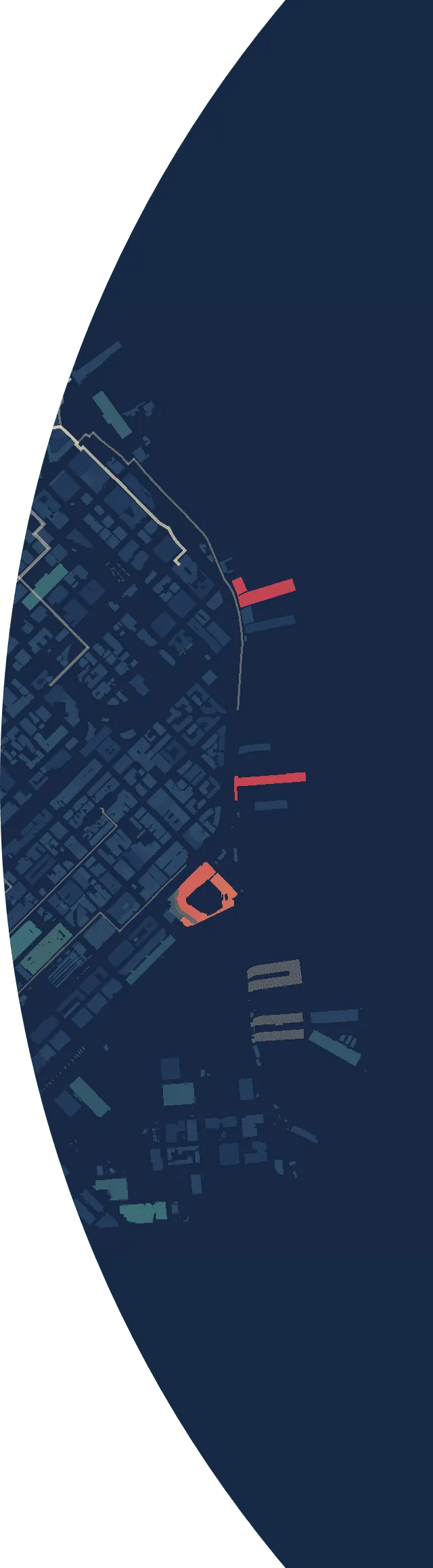
Logo on photo
Our logo can also be use on top of an image as long as it has enough contrast to be seen and read effortlessly. Use our marker size as an approximate of the amount of margin space needed to separate our logo from surrounding elements.
Typography
As our technology is open source at heart, we also chose open source typefaces for our brand.

Montserrat
Use Montserrat Semi-Bold for large headlines, always sentence-cased, and for smaller ones.

Open Sans
Use Open Sans Regular for everything else, from body copy to tiny details.
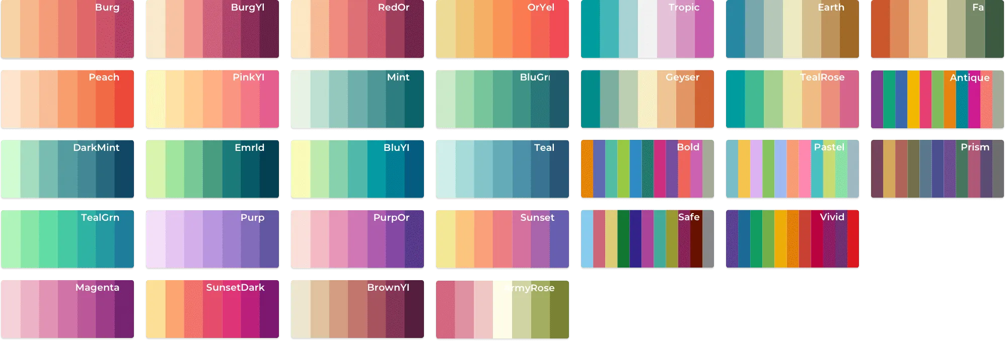
Colors
Here's our brand palette:
C=0 M=84 Y=86 K=8
PANTONE 485 C
Location Red
CMYK: 91, 47, 0, 2
PANTONE+ Solid Coated 2727 C
Prediction Blue
C=95 M=72 Y=15 K=67
PANTONE 2767 C