


Spatial Analytics for Azure
Trusted by the world's leading geospatial analysts


.webp)


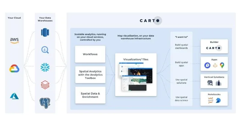
The most advanced geospatial tools, made native to Azure
Connect CARTO to your Azure cloud and forget about moving data out of your lakehouse to solve your geospatial needs.
Access spatial visualization, analysis and app development functionalities within your Azure-based PostgreSQL, Snowflake, Databricks, or Oracle Autonomous AI Database.
.webp)
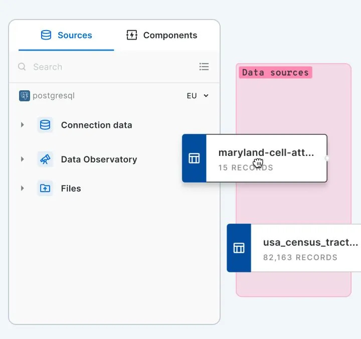
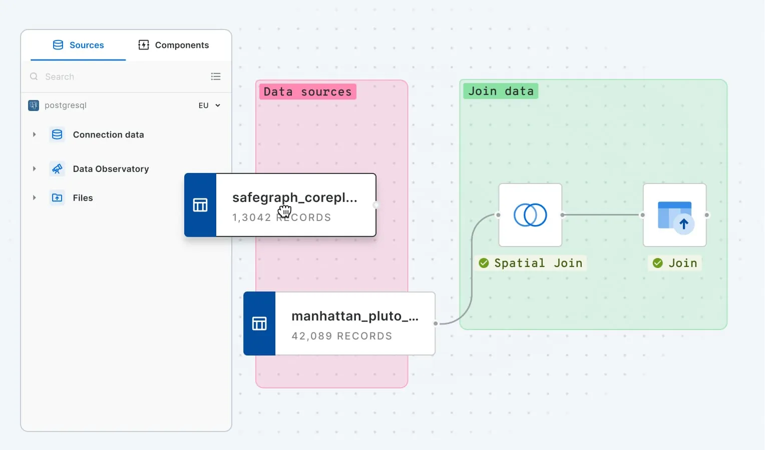
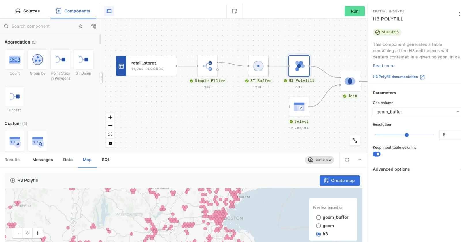
Run advanced spatial analytics seamlessly in Azure
Simplify your analytics with Workflows, our low-code tool for automating spatial analysis. Customize & extend your workflows, and run them in your Azure PostgreSQL database, Cosmos DB for PostgreSQL, Snowflake or Databricks, or Oracle Autonomous AI Database.
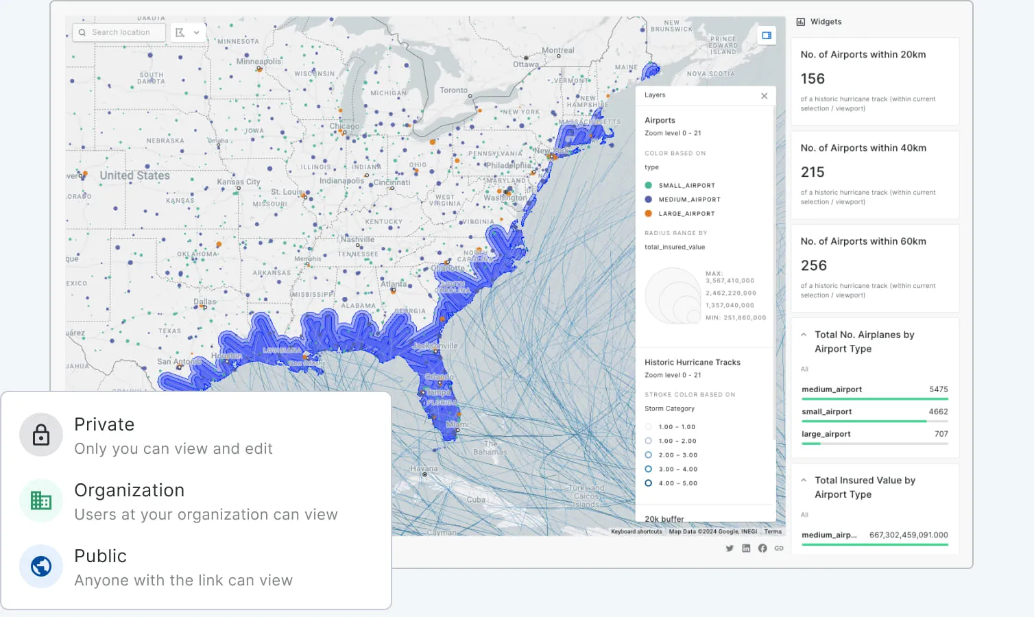
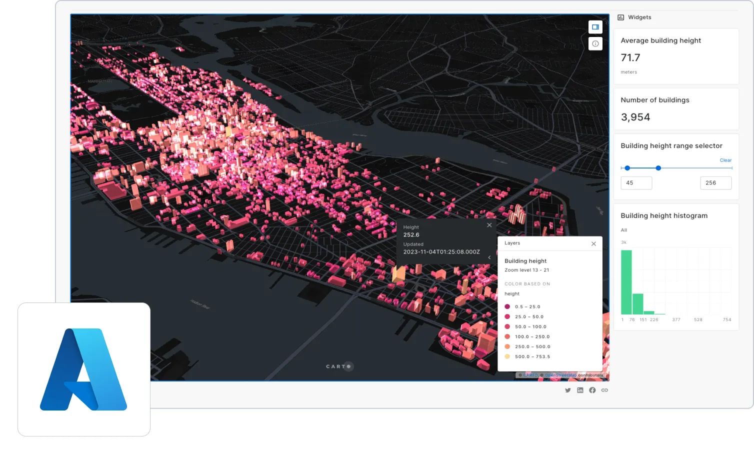
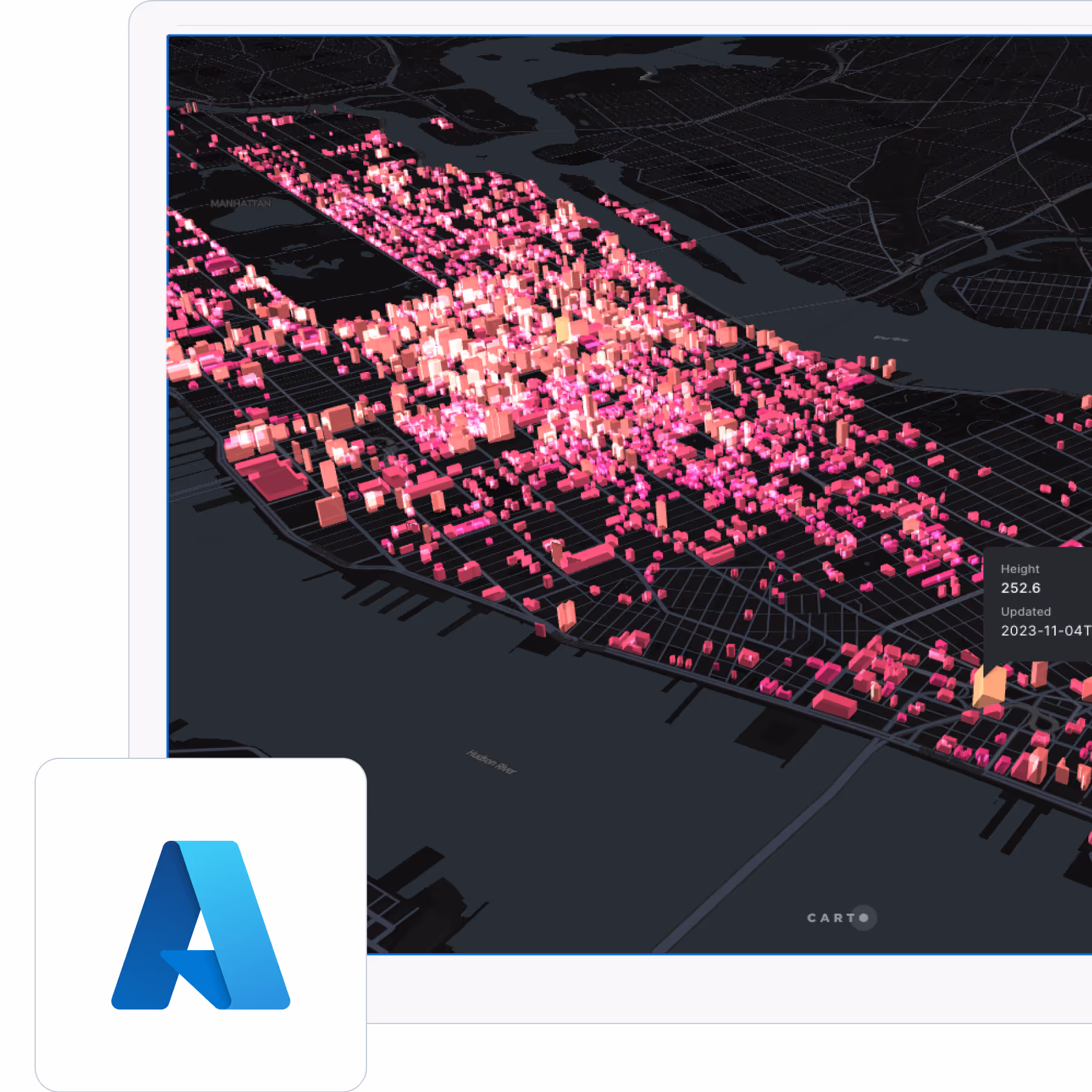
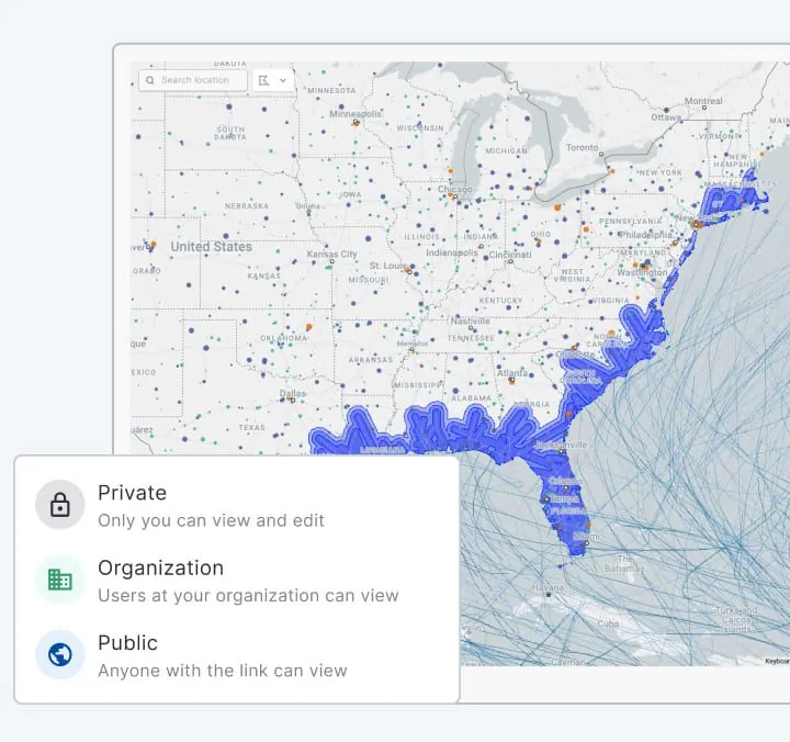
Unmatched data visualization capabilities
Build rich, dynamic data visualizations directly from your PostgreSQL, Snowflake, Databricks or Oracle Autonomous AI Database instance with Builder. Visualize billions of data points with ease. Create and share interactive dashboards that take your data storytelling to the next level.
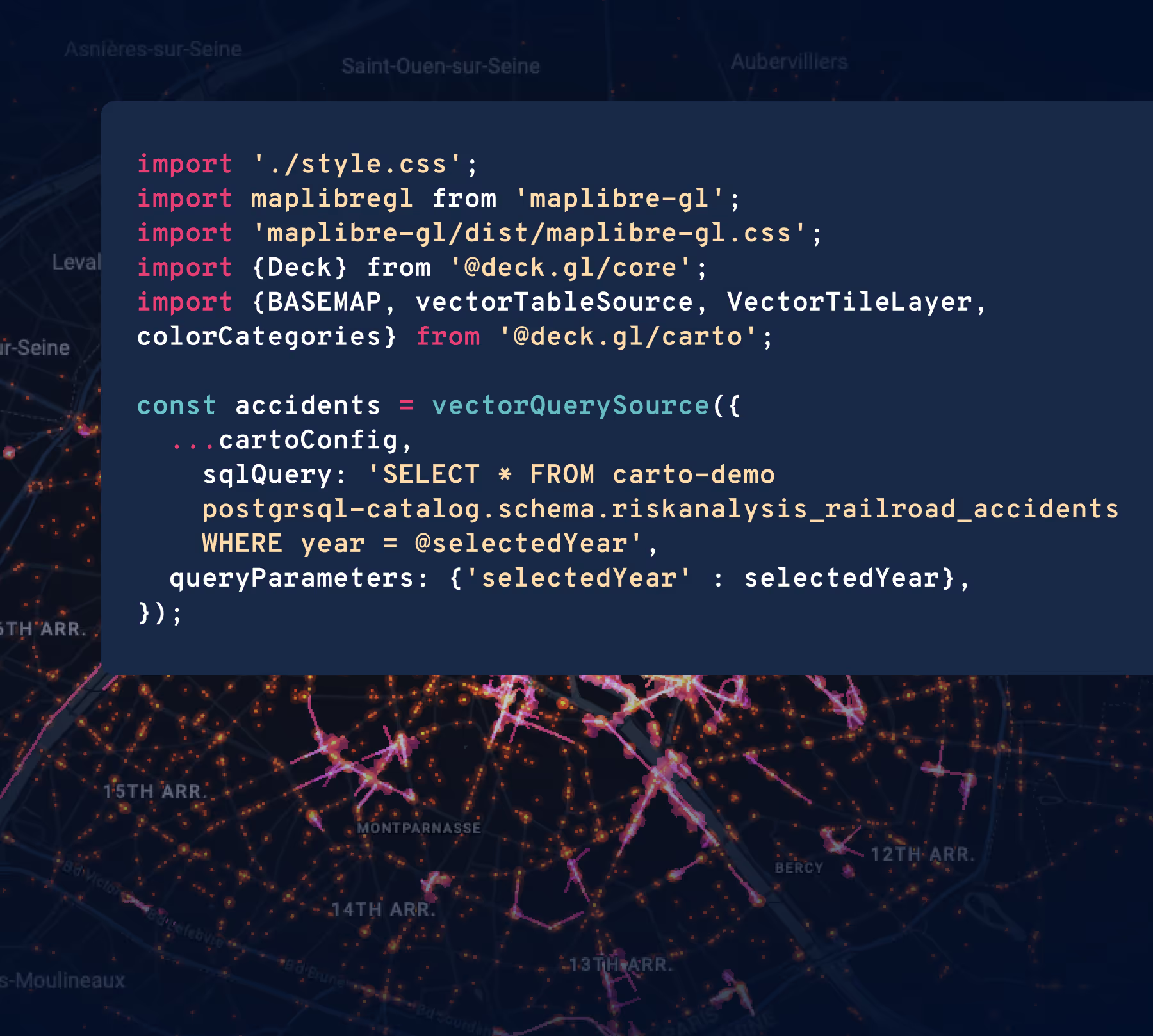
Accelerated, scalable app development
Reduce the time and cost to develop spatial applications with the most comprehensive APIs and development toolkit so you can fast-track your app development cycle on top of your Azure technology, without the need for ETLs or any intermediate mapping server.


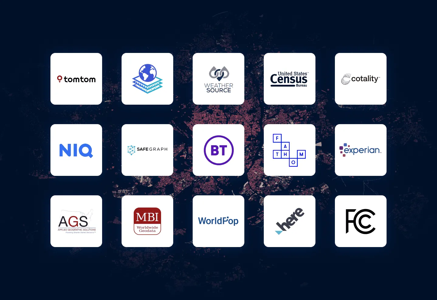
More than 12,000 datasets to enhance your analysis
Our Data Observatory gives you frictionless access to thousands of curated spatial datasets so you can enrich your own data, and deepen your analysis. Take away the pain of data discovery, evaluation & ETLing. Spend more time on the analysis that answers your most important business questions.
Related content
.webp)