Introduction to the Data Observatory
Introduction to the Data Observatory platform
Thousands of spatial datasets at your fingertips
The Data Observatory is a spatial data platform enabling you to augment your data with the latest and greatest in spatial data. With a catalog of thousands of spatial datasets from public and premium sources that have been vetted by our Data team, the Data Observatory provides a streamlined process to reduce the operational inefficiencies of discovering, licensing and accessing spatial data.
The Data Observatory is currently accessible from both your web-based user dashboard and via Python methods in CARTOframes.
This section of the Help Center will cover the following:
- How to browse the Spatial Data Catalog
- How to subscribe to public and premium datasets
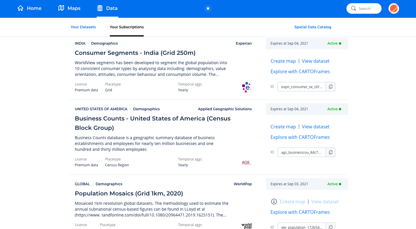
- How to manage your subscriptions and access the datasets
Note
The Data Observatory is now available for all our cloud enterprise users. In the coming months we will release it for users with our On-Premise implementation and under other account plans.