


INDUSTRIES
Spatial analysis for every industry
Every industry sits on location data it can't act on fast enough. Find yours and see how teams are answering their biggest location questions.
Financial Services
Decide where to open, lend and invest with evidence, not averages.
Retail
Find the next store, and the next customer, before your rivals do.
Insurance
Underwrite by the address, and see the next claim coming.
Telecommunications
Put the network, and the revenue, where your customers are.
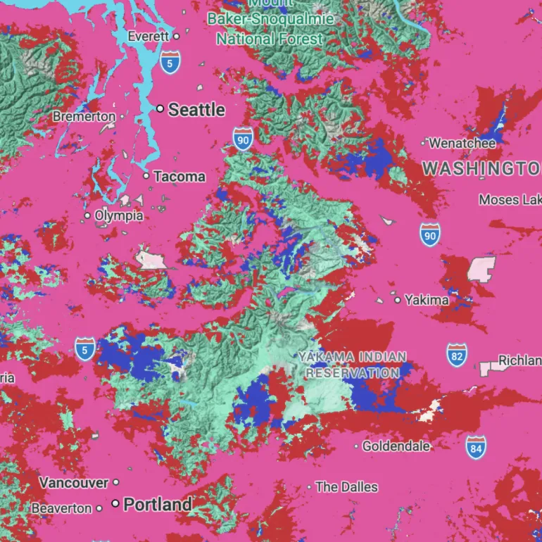
Cities & Government
Move every agency from reactive to resilient.
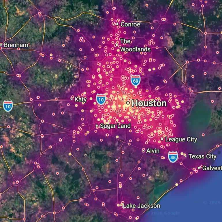
Transport
Plan networks around how people actually move.
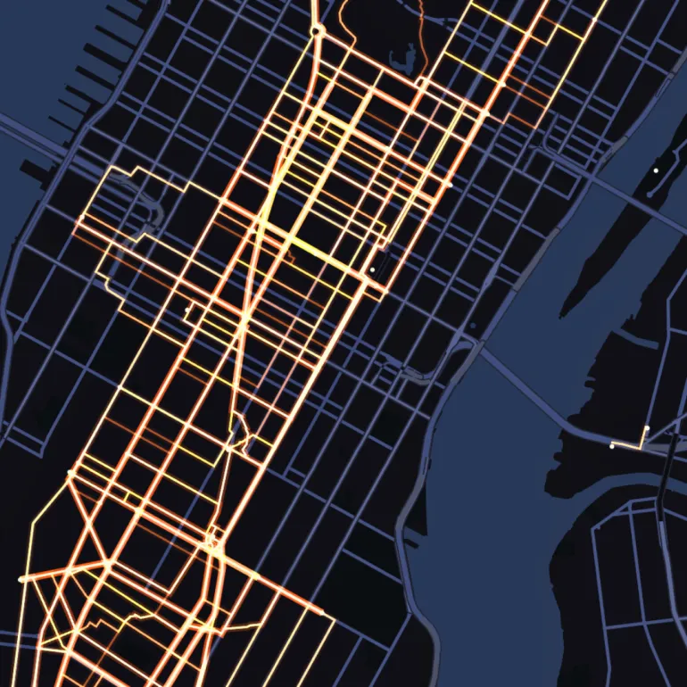
Real Estate
Know where value is heading before the market does.
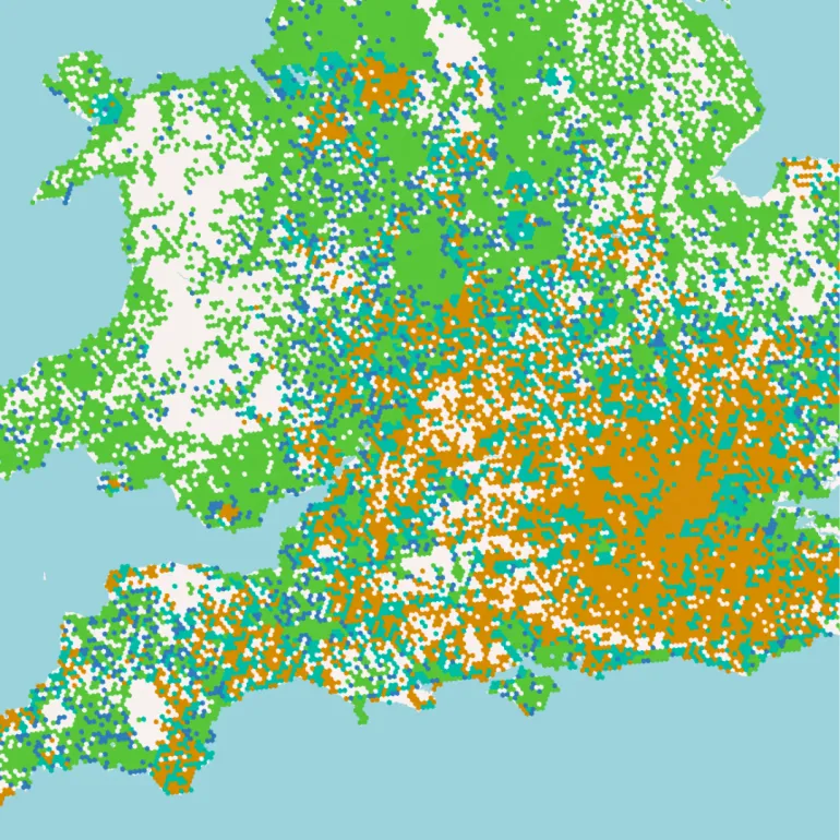
Marketing & Advertising
Prove which places and sites really reach your audience.
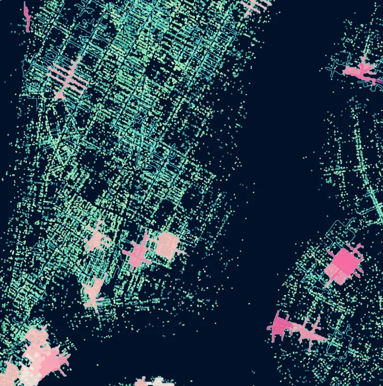
Logistics
Get every delivery there faster, for less, with fewer surprises.
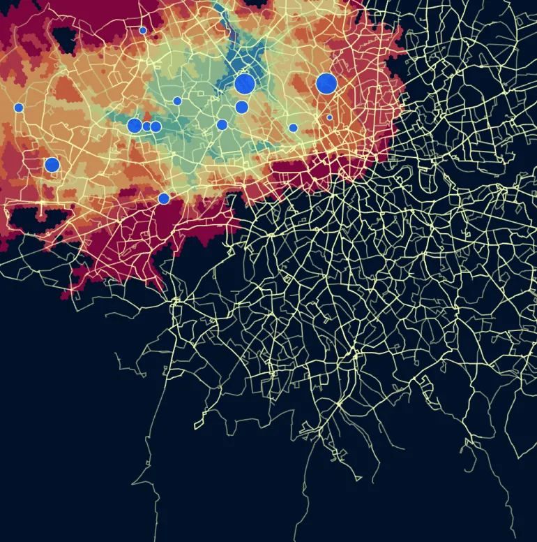
Utilities
Spot the weak points in your grid before customers do.
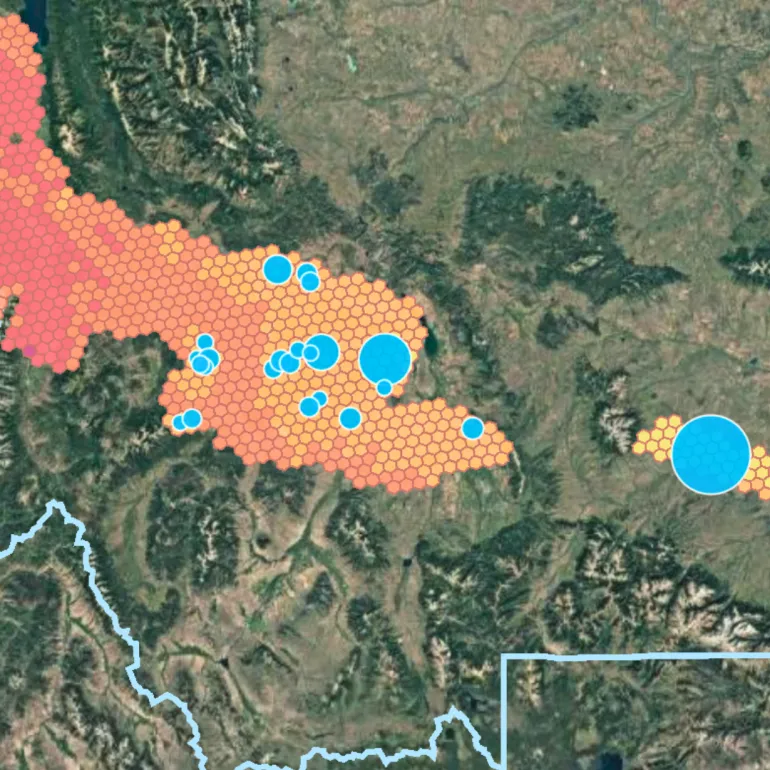
Healthcare & Pharma
Put care where patients can actually reach it.
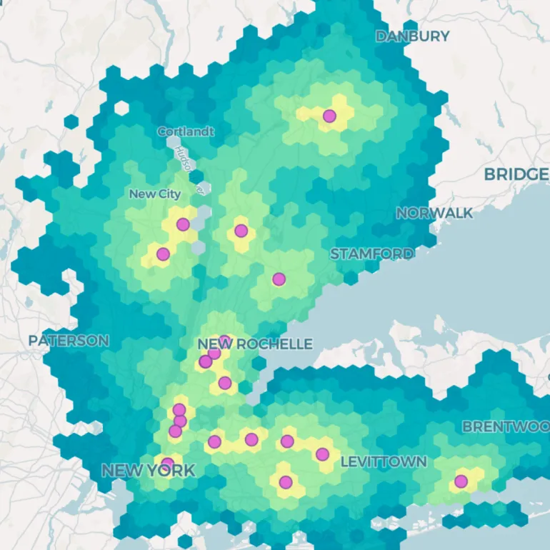
Mapping Agencies
Run your national map on your terms, with no vendor lock-in.
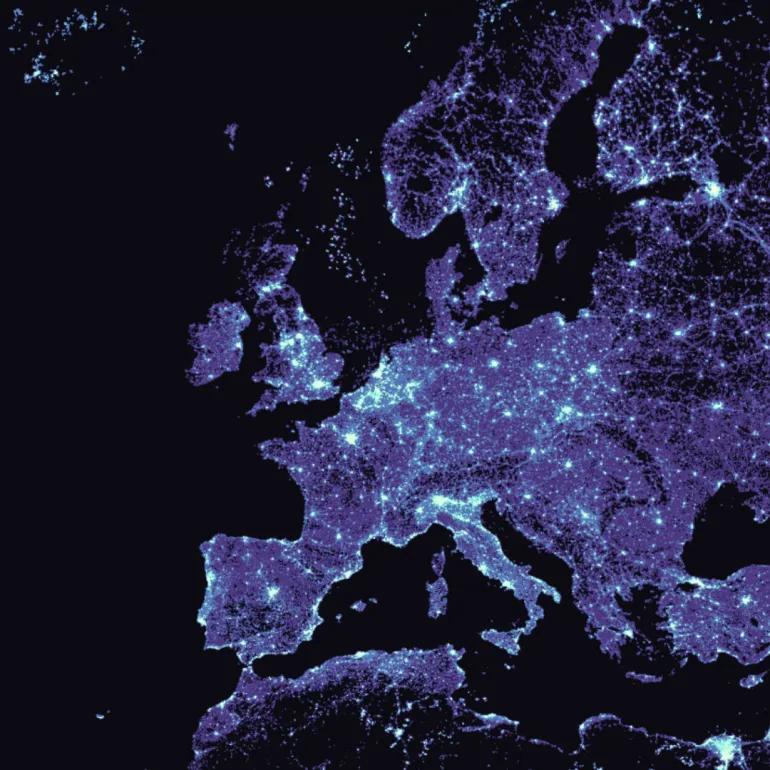
Environmental & Natural Resources
Catch environmental change early enough to act on it.
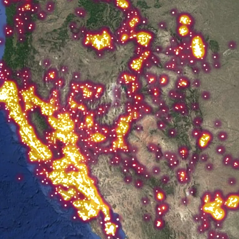
Architecture, Engineering & Construction
Choose the right site and price the project right, from day one.
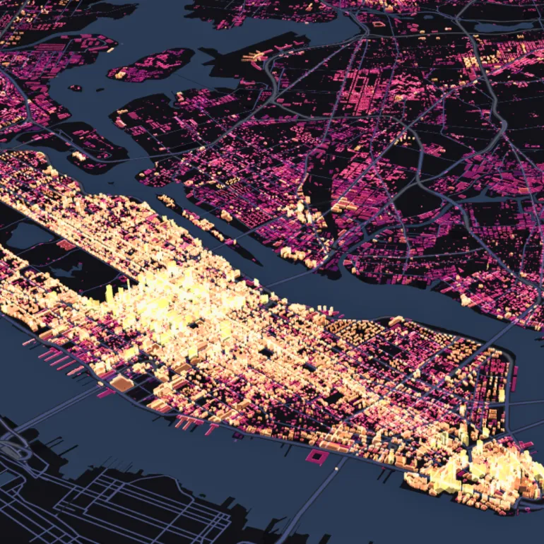
CPG
Put the right product on the right shelf in the right neighborhood.
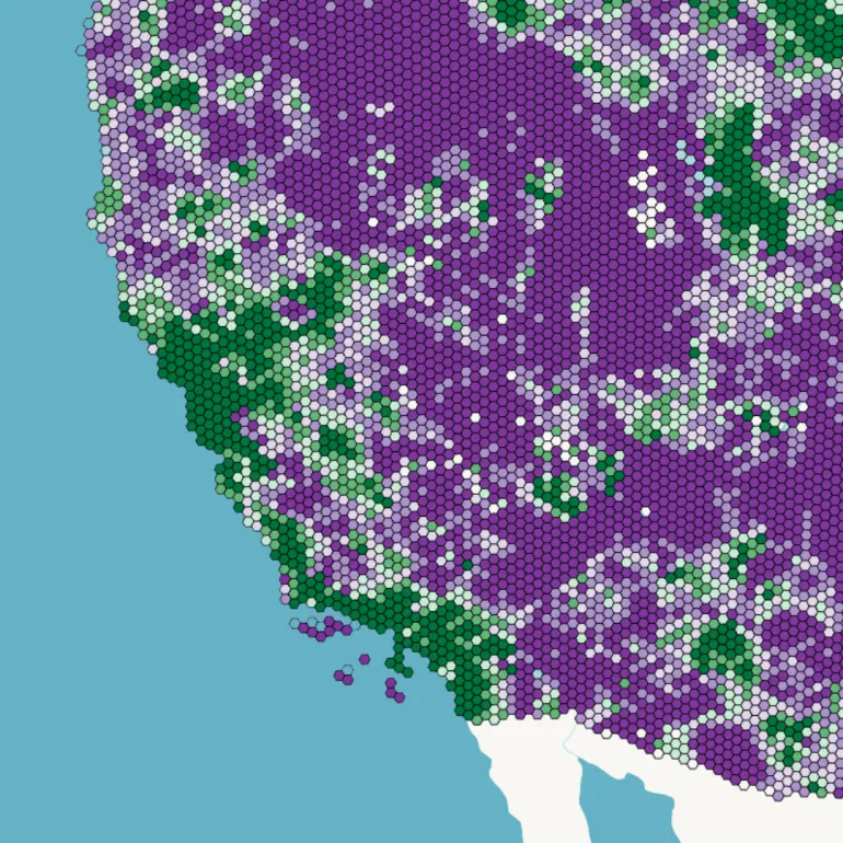
Sports & Entertainment
Know where your fans come from, and fill every seat.
Frequently asked questions
Can CARTO be used in any industry?
Yes. CARTO works on any data in your cloud data warehouse, so it fits any industry that holds location data, listed here or not. Start with your biggest decision, or request a demo and bring it.
Which data warehouses does CARTO work with?
CARTO runs natively in Google Cloud BigQuery, Snowflake, Databricks, Amazon Redshift, Oracle and Microsoft Azure, so your data never leaves your cloud.
What industries use spatial analysis?
Spatial analysis is used across financial services, retail, insurance, telecommunications, government, transport, real estate, logistics, utilities, healthcare and more. Banks plan branch networks, insurers model catastrophe risk, retailers choose store sites, and telcos plan networks.
What is spatial analysis used for in business?
Spatial analysis uses location data to answer business questions, such as where to open a store, which customers face the most risk, or how to route deliveries. It combines your own data with demographics, points of interest and hazards, so decisions rest on evidence about place. Browse the use cases.
TALK TO US
Request a demo
Schedule a 20-minute meeting with our experts to understand how you can use spatial analysis in your organization.