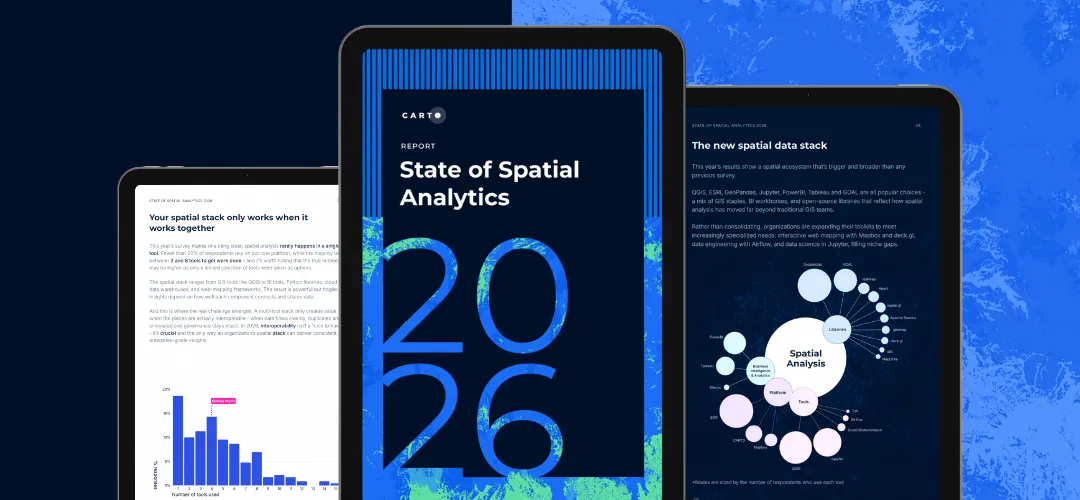
.webp)
What is Location Intelligence?
Location Intelligence (LI) is the methodology of deriving insights from location data to answer spatial questions. LI goes beyond simple data visualization on maps, to analyzing location data as an integral part of a business or societal problem.
How is Location Intelligence (LI) different from Business Intelligence (BI)?
Location Intelligence does not replace Business Intelligence; it extends it. BI reports what happened from your structured data. Location Intelligence adds the spatial dimension that BI tools handle poorly, and with a warehouse-native platform it runs on the same data that already powers your dashboards.
Data Focus
BI focuses on static & temporal data, with maps occasionally being used. LI revolves around location-first analyses.
Analysis
BI platforms visualize & display pre-processed sets of results on a map. LI allows for more advanced, iterative analysis of complex & large-scale spatial data.
Typical User Actions
In BI, users talk about zooming, filtering & printing. In LI, we talk about analyzing, comparing, augmenting & productionizing interactive results.
Questions Answered
BI focuses on where things are and what has happened. LI focuses more on questions like "why" and "what if?"
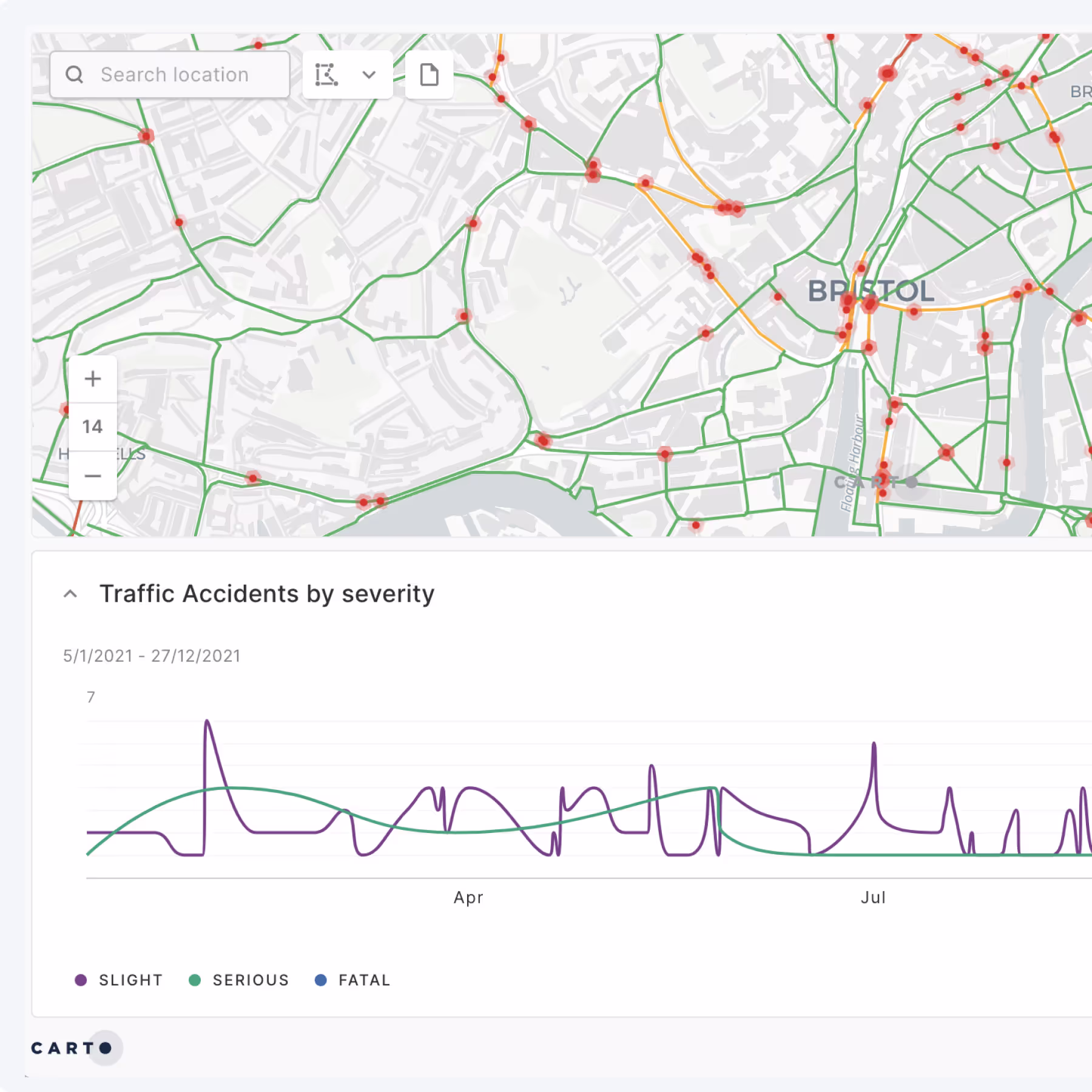
What are the main Location Intelligence use cases?
Location Intelligence has outgrown legacy GIS. From market expansion and site selection to ESG reporting, fraud detection, asset valuation, and network planning - today's leading organizations are using spatial analytics to drive real-time decisions, unlock new growth, and reduce risk.
Whether you're identifying underserved areas for financial inclusion, optimizing EV charging infrastructure, analyzing climate exposure in insurance portfolios, or identifying patterns in geotagged transaction data - CARTO helps teams turn spatial signals into strategic action.
Who typically uses Location Intelligence within an organization?
Data analysts, GIS specialists, data scientists, and developers drive complex analyses and build self-service tools that empower the wider organization.
Meanwhile, decision-makers - such as portfolio managers, underwriting teams, fraud analysts, and network planners - use these insights to make informed decisions.
Today's leaders focus on bridging the gap between technical teams and decision-makers by delivering accessible, real-time spatial insights that accelerate action and drive business impact.
.webp)

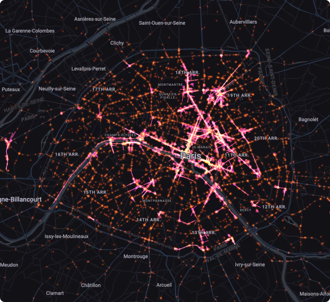
Which types of data are used in Location Intelligence?
Location data can be anything from addresses & latitude/longitude coordinates, to points, lines & polygons. You can also create spatial data with place names & administrative units such as countries and states.
However, as well as using internal data from their organizations (such as CRM, loyalty card, ecommerce), organizations also regularly gather publicly available Open Data to enrich their analysis.
More & more premium spatial data streams such as Financial, Human Mobility, Road Traffic, Points of Interest, Weather, Climate & Housing are also being used.
What are the challenges for Location Intelligence?
For organizations aiming to embed Location Intelligence deeply across operations typically struggle with legacy data stacks and siloed GIS tools.
These create fragmented tech environments that slow down your spatial workflows, limit scale and cause huge governance headaches - all of which hampers fast, flexible decision-making.
To stay competitive, organizations need a unified, cloud-native approach that breaks down siloes, enforces robust governance and accelerates access to trusted spatial analytics.
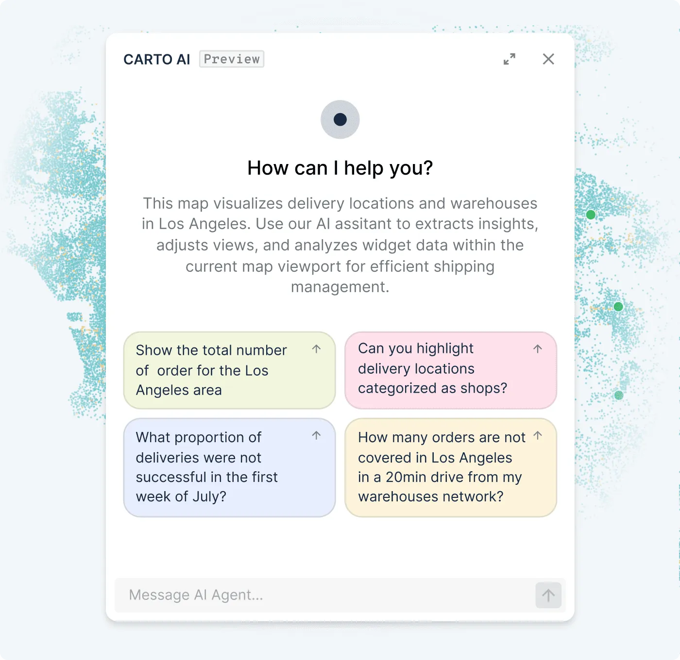
How is AI accelerating Location Intelligence?
AI is reshaping how organizations use Location Intelligence - making spatial analysis faster, smarter, and more accessible.
Rather than just visualizing geospatial data, organizations are using AI to leverage real-time insights, automate complex workflows, and scale spatial decision-making. From natural language search to predictive modeling, AI helps analysts and non-technical users alike work more efficiently with location data.
Frequently asked questions
Location Intelligence, GIS, geospatial, spatial analysis... There are so many terms for working with location data that it can be confusing! GIS refers to the systems and infrastructure used to collect, manage, and analyze spatial data. Location Intelligence focuses on turning that data into actionable insights - emphasizing accessibility, real-time analysis, and integration with broader business systems. It's not about choosing one or the other, but finding the right combination of both for your organization.
There's no one-size-fits-all toolset - organizations need different tools for data management, analysis, visualization, and app development. Many are turning to cloud-native platforms for faster, more scalable workflows and easier integration with their existing data stacks. This also improves data governance and reduces the need to move data between systems.
Yes. LI platforms like CARTO are designed to be used by data analysts, data scientists, developers, and business users - not just GIS specialists. With low-code interfaces, AI Agents, and cloud-native architecture, organizations can scale spatial capabilities without needing deep geospatial expertise in-house.
It's estimated that around 80% of all data has a location component, and most industries find that at some point they need to ask a question that includes a "where" component. Organizations where location plays a fundamental role in driving business success find major value from LI, including telecoms, insurance, financial services, logistics, retail, and real estate.