


SOLUTIONS
Answer every location decision
Most location decisions still rest on gut feel and a queue for the GIS team. Pick your job and see how teams solve it live, in their own cloud.
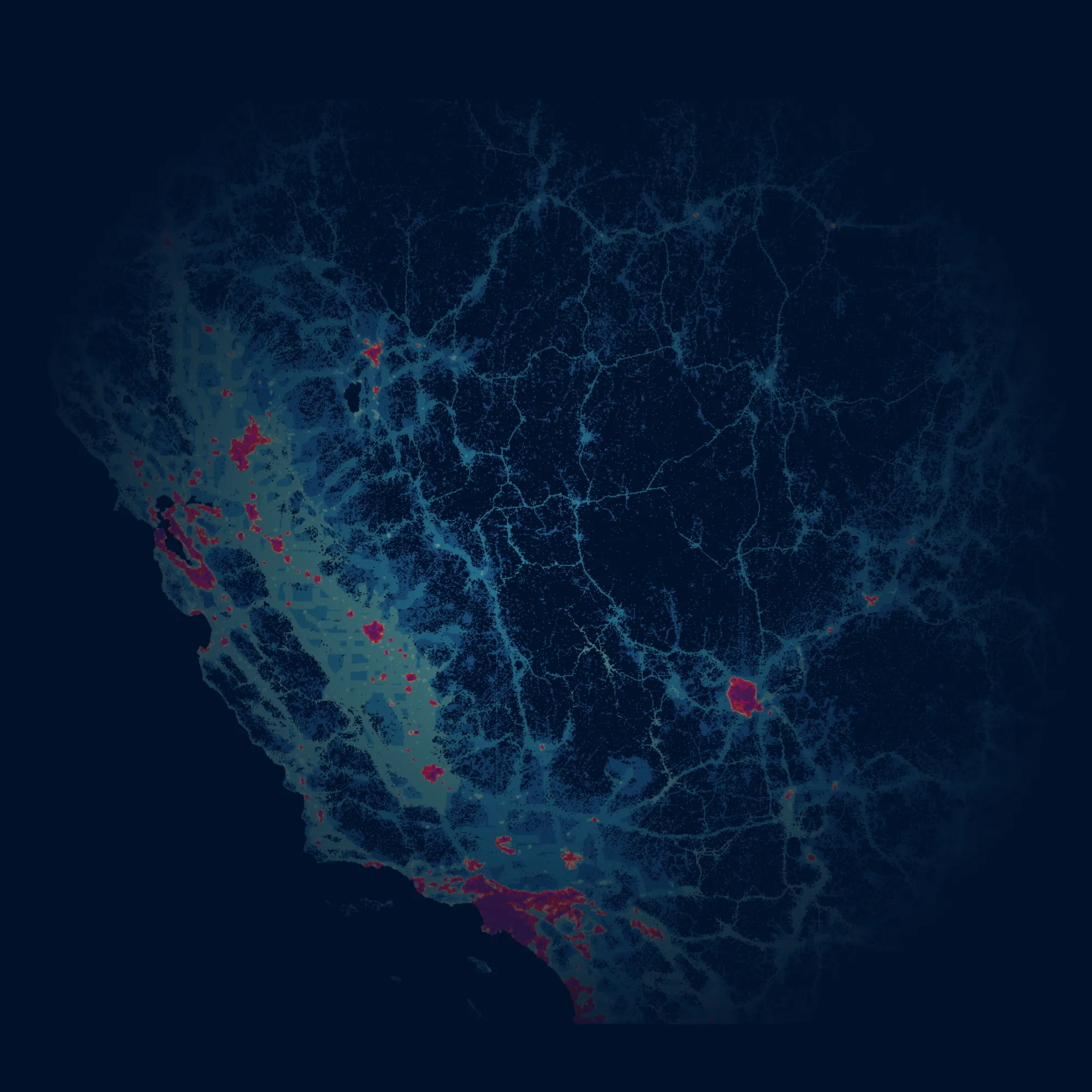
Site Selection
Stop betting millions on gut feel. Choose every site on evidence.
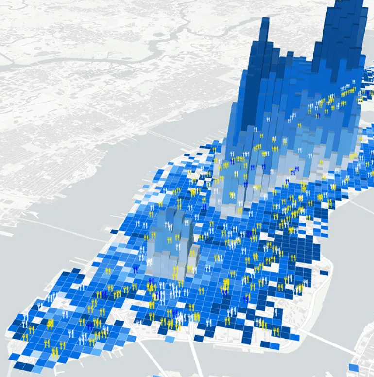
Catastrophe Modeling
Know your exposure before the storm does.
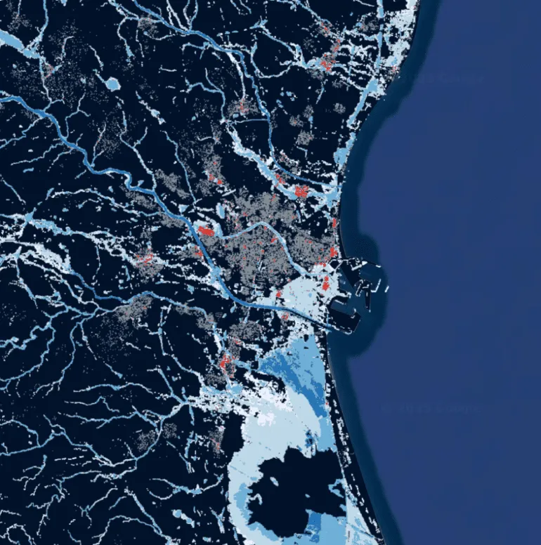
Network Deployment
Build where demand will be, not where it was.
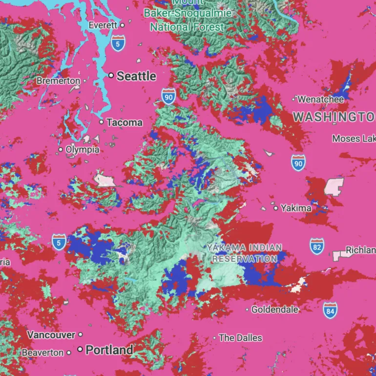
Geomarketing
Aim every campaign at the places your customers actually are.

Territory Planning
Balance every territory, so no rep is overloaded and no customer is missed.
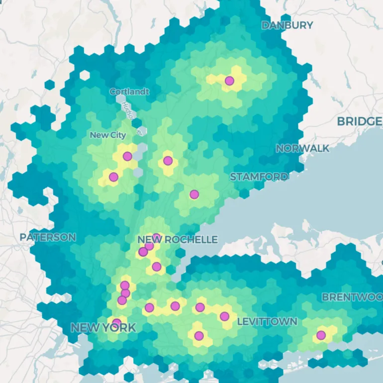
Fraud Detection
Spot the fraud that only shows up on a map.
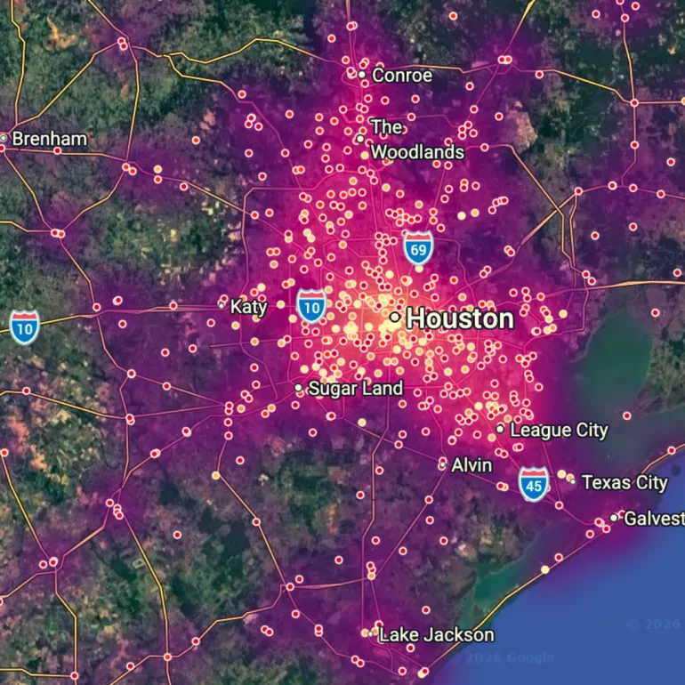
Market Analysis
See which markets are heating up before everyone else does.
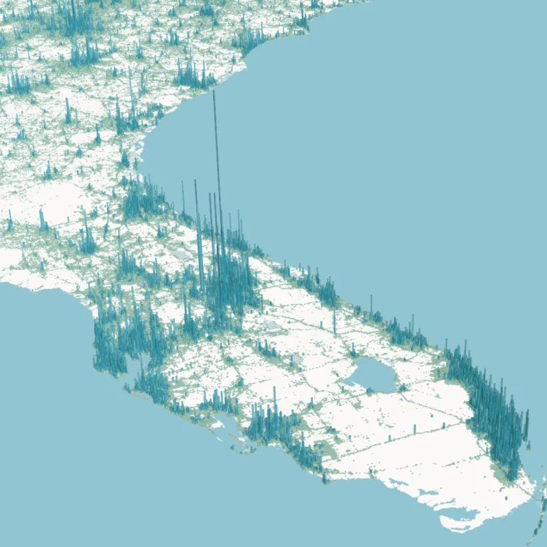
Risk Analysis
Price risk by the address, not the ZIP code.
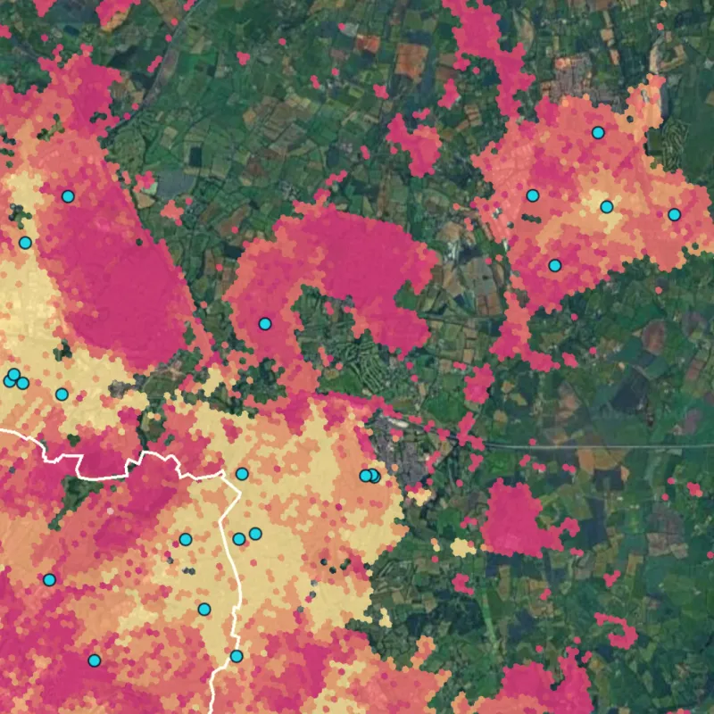
Data Monetization
Turn the location data you already hold into revenue.
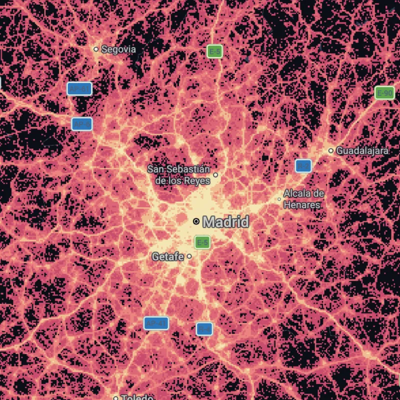
Supply Chain Optimization
Cut the miles, the cost, and the surprises from every route.
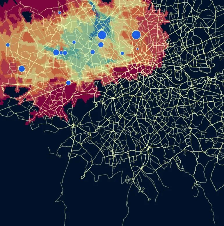
Something else?
Talk to our experts, and we'll help you solve your spatial problem.
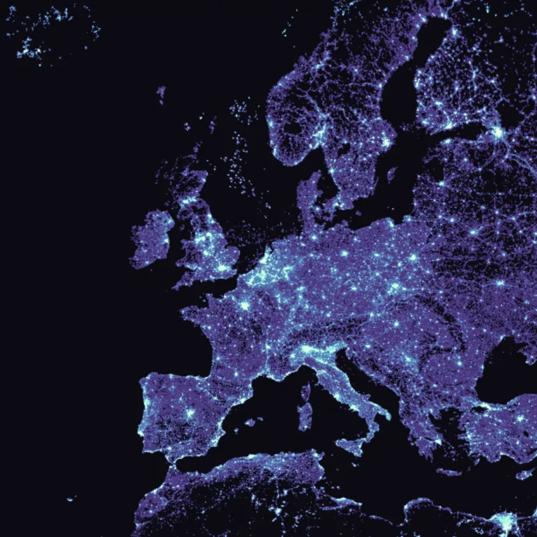
Or start from a capability
Routing
Calculate routes and travel times at scale, right in your warehouse.

Isolines
Understand how far you can reach in a given time or distance.
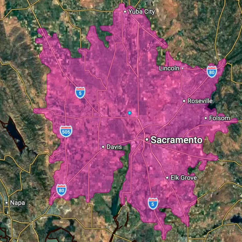
Geocoding
Turn addresses into points you can map and analyze.
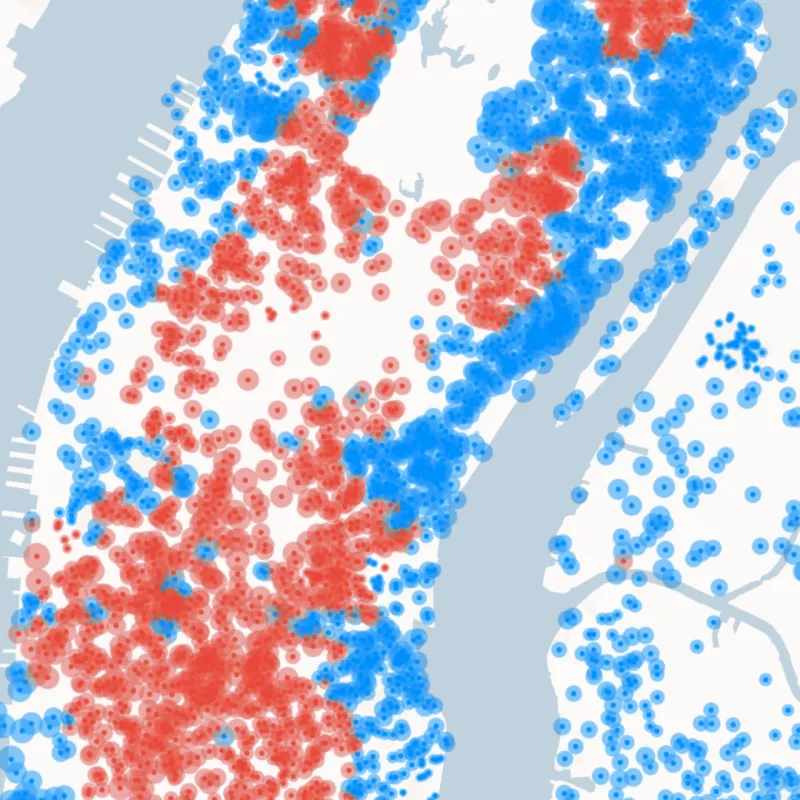
Geospatial Foundation Models
Use AI embeddings of the Earth as features in your models.
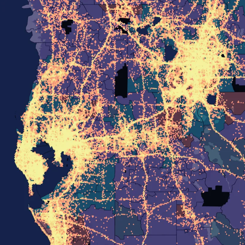
Spatial Indexes
Analyze billions of rows fast with H3 and Quadbin grids.
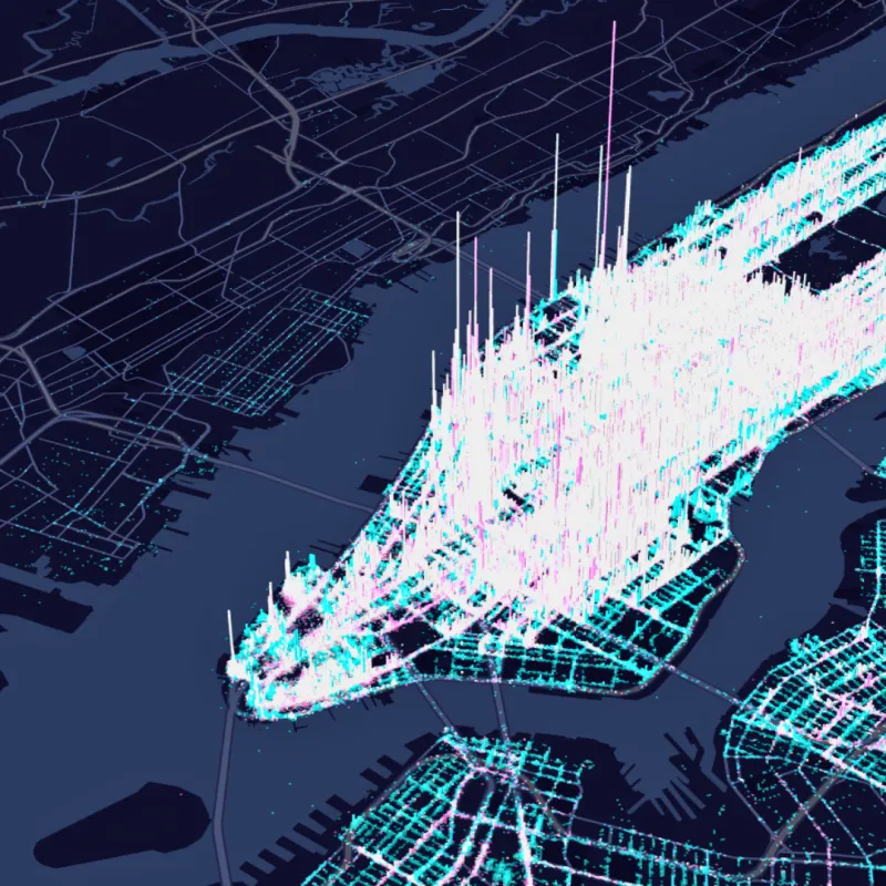
More capabilities
Explore tutorials and templates for every kind of spatial analysis in CARTO Academy.
Frequently asked questions
Can I run spatial analysis without moving my data?
Yes. CARTO sends each analysis to your cloud data warehouse to run, so it works on live data, under the permissions you already set, and nothing is copied out. Maps, Workflows, and AI Agents all read from the same governed tables.
Which spatial analysis use case should I start with?
Start with the decision you make most often, or lose the most on, such as where to open the next site, which policies carry the most risk, or how to balance territories. Open that tile, see how teams answer it, then bring the data you already hold.
What data do I need for spatial analysis?
Start with your own customer, asset, or transaction data in your cloud data warehouse. Then add demographics, points of interest, mobility, and hazard data from the Data Observatory, all combined where the data already lives.
What are the most common spatial analysis use cases?
The most common are site selection, catastrophe modeling, network deployment, geomarketing, territory planning, fraud detection, market analysis, risk analysis, data monetization, and supply chain optimization. Each starts from a decision about where, and CARTO runs it live on your own data.
What is site selection analysis?
Site selection analysis ranks candidate locations by demand, competition, demographics, and accessibility, so you open where customers are. CARTO scores every candidate on the same evidence, live in your cloud data warehouse. See how site selection works in CARTO.
TALK TO US
Request a demo
Schedule a 20-minute meeting with our experts to understand how you can use spatial analysis in your organization.